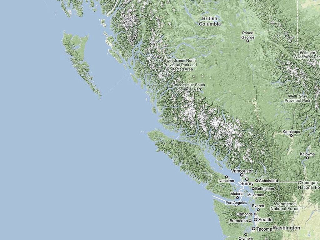
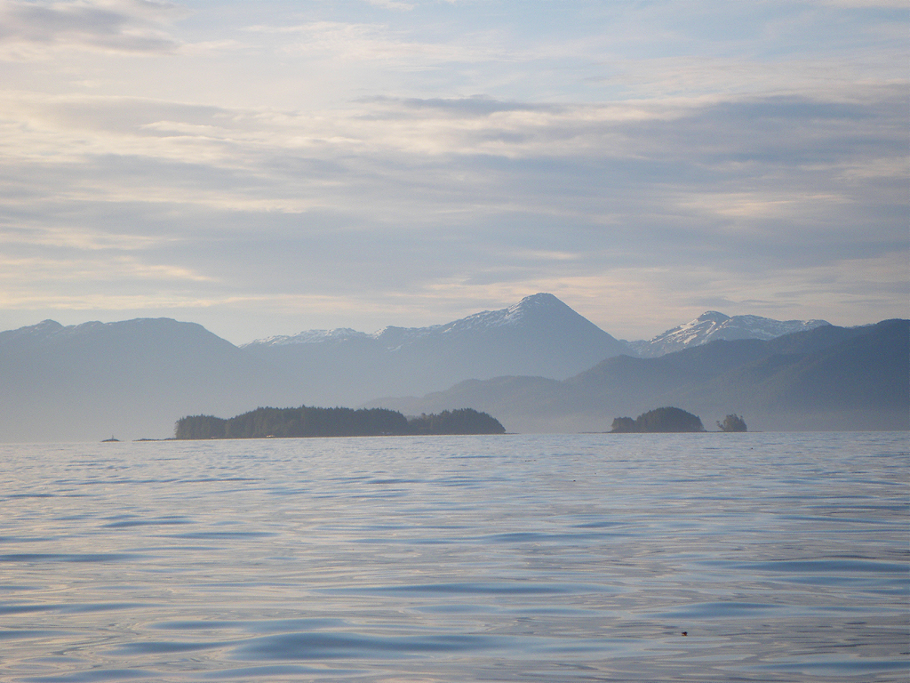
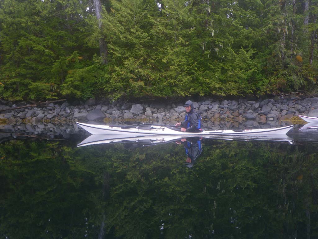
Our plan was to kayak almost 1000 miles from Prince Rupert, at the top of the map to Olympia, Washington, at the very bottom of the map. If you click on the map you’ll see a white line at the top which is the Alaska border. That is where we started, so our route was the entire west coast of Canada, and then some more. We followed an outer coast route down to Vancouver Island, and then took the Inside Passage route east of Vancouver Island.
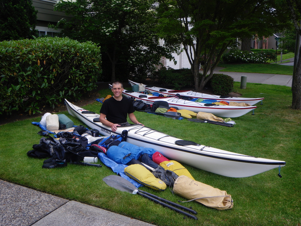
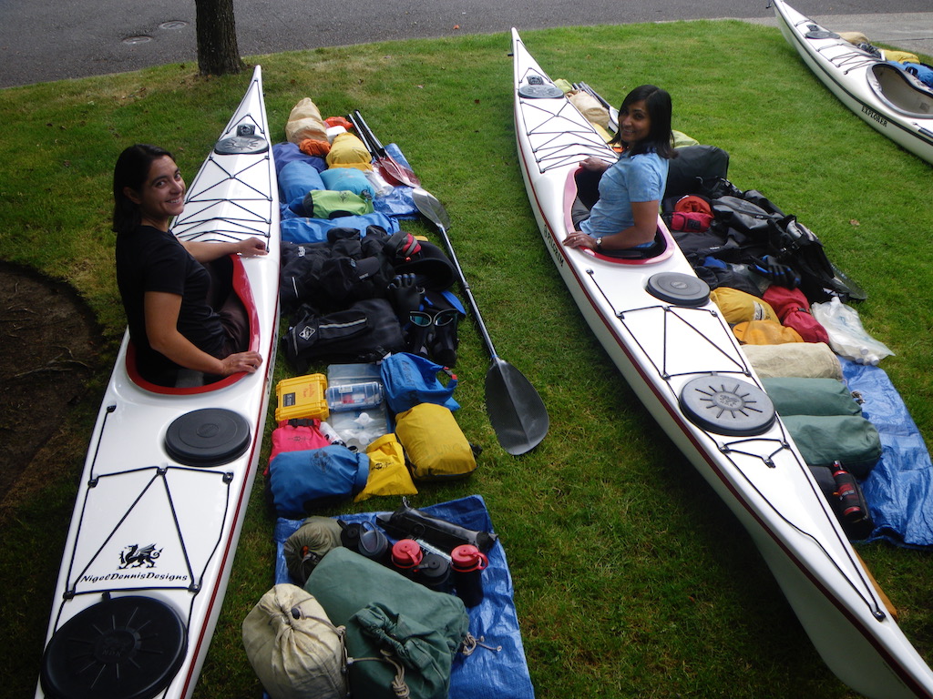
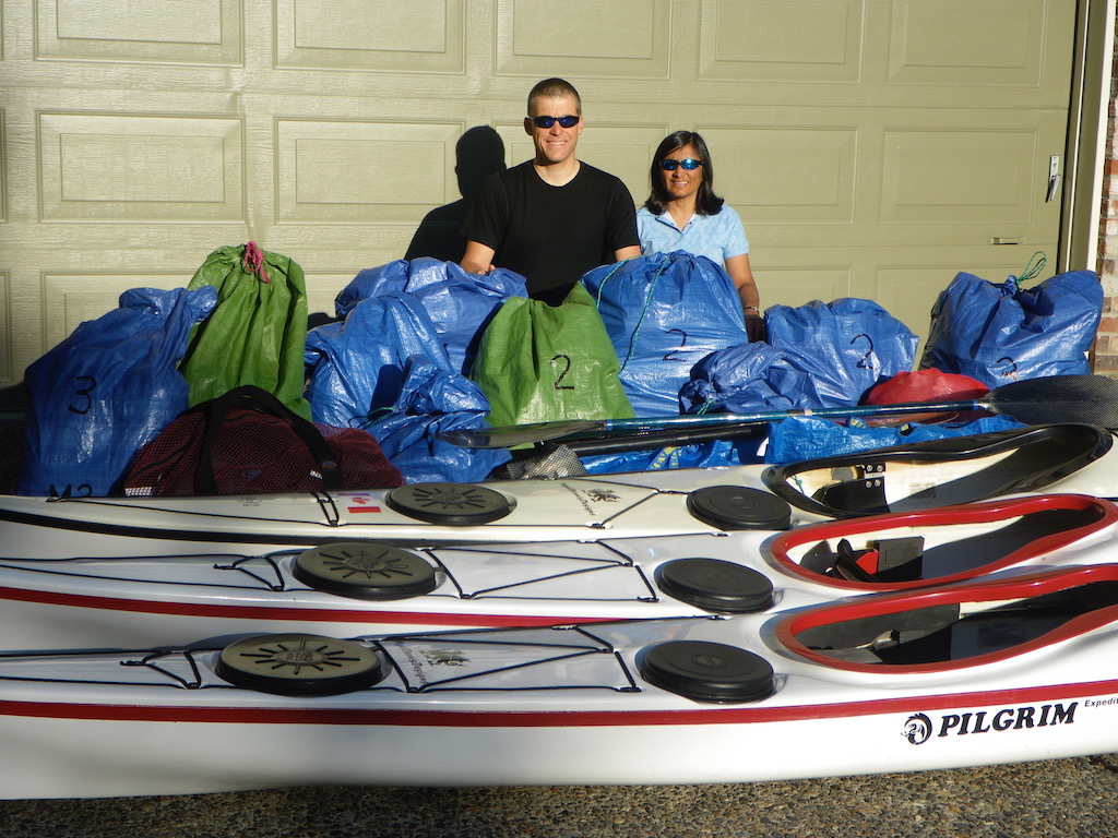
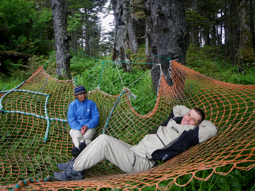
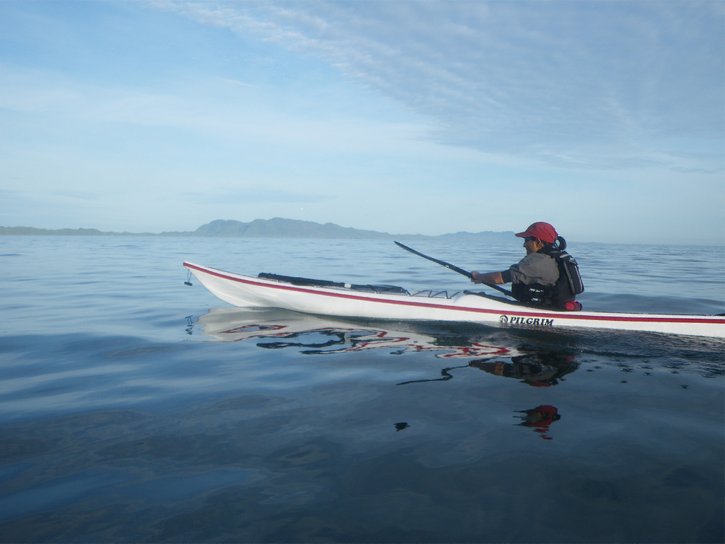
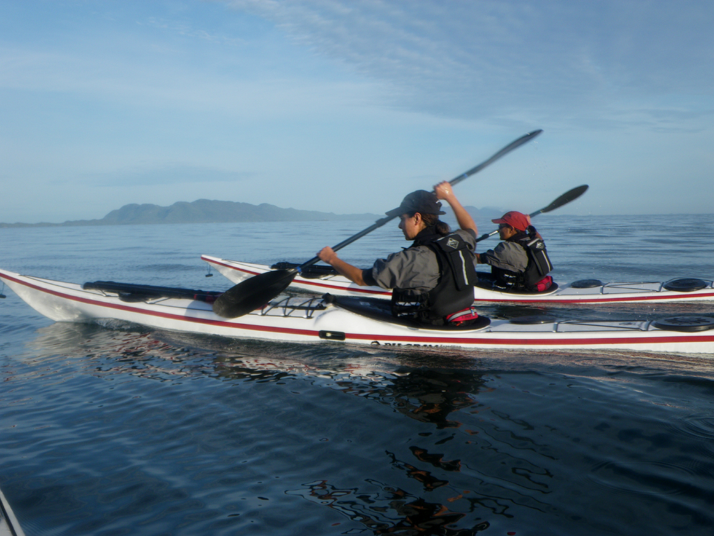
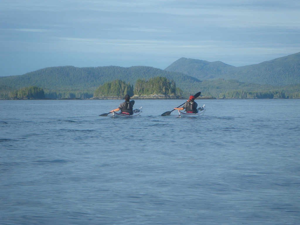
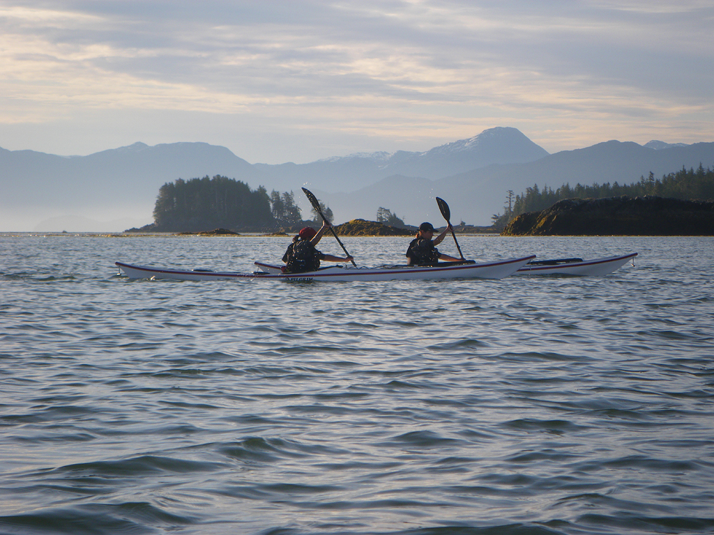
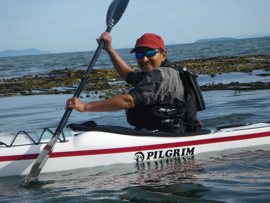
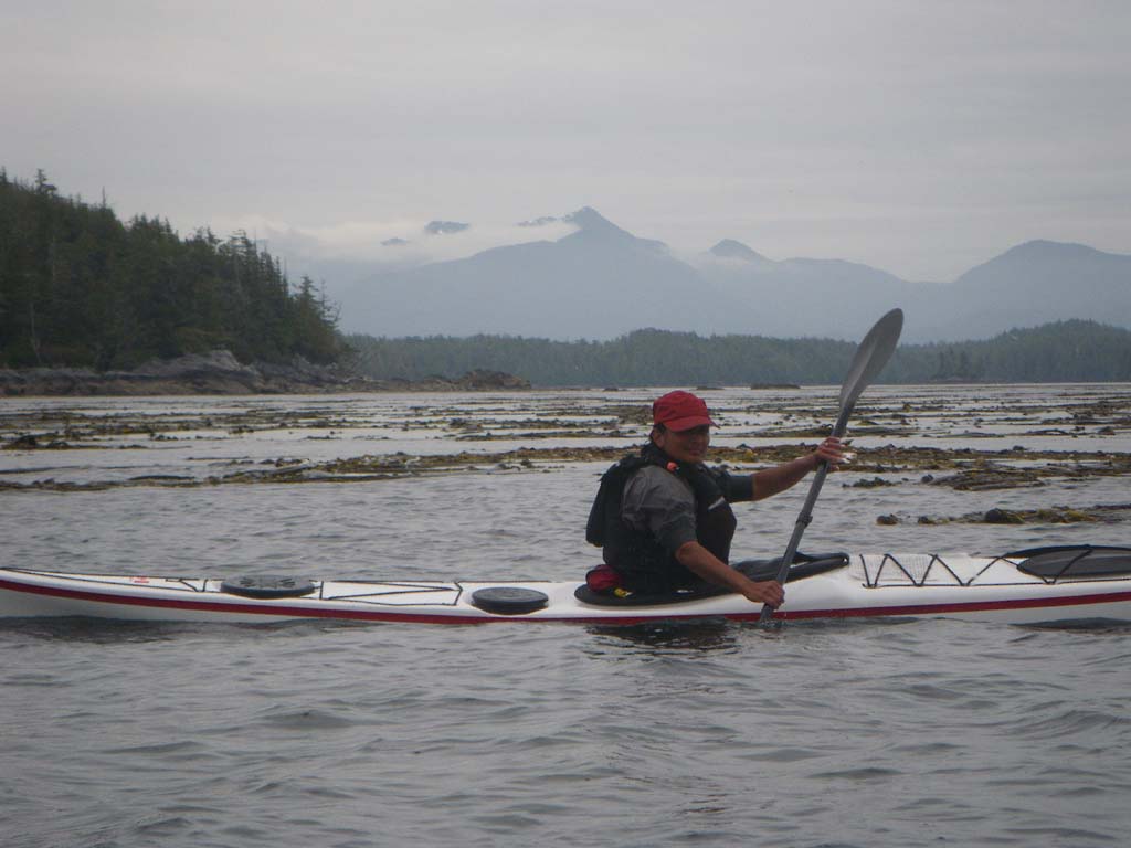
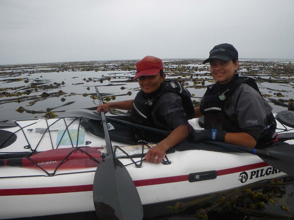
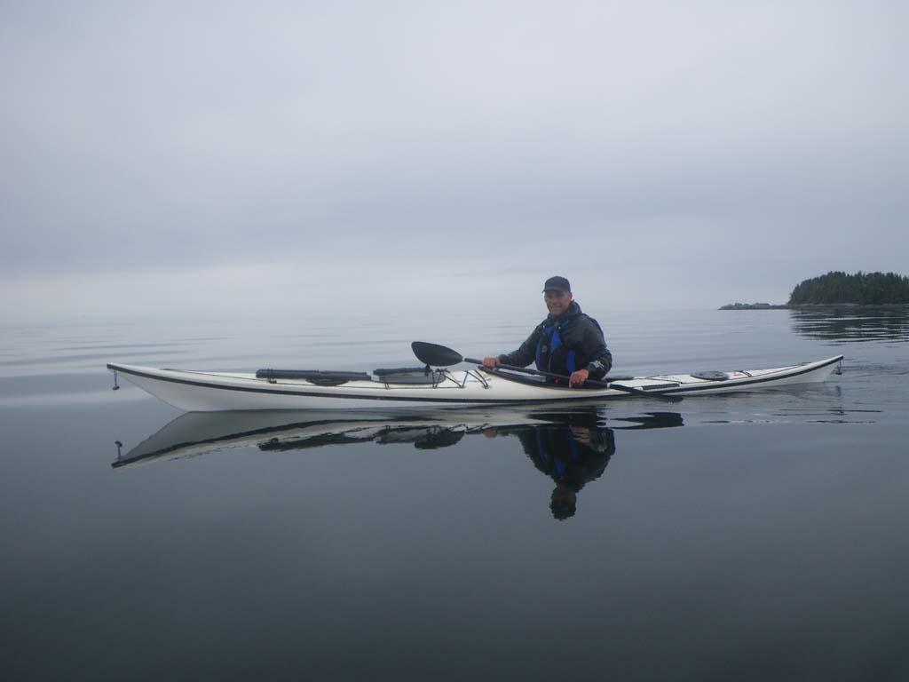
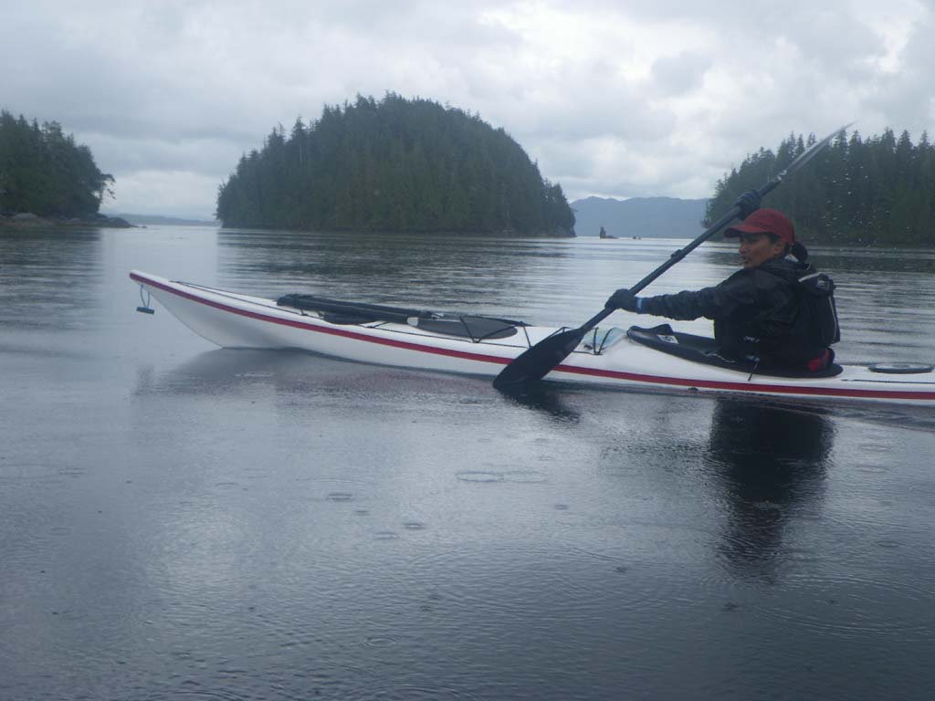
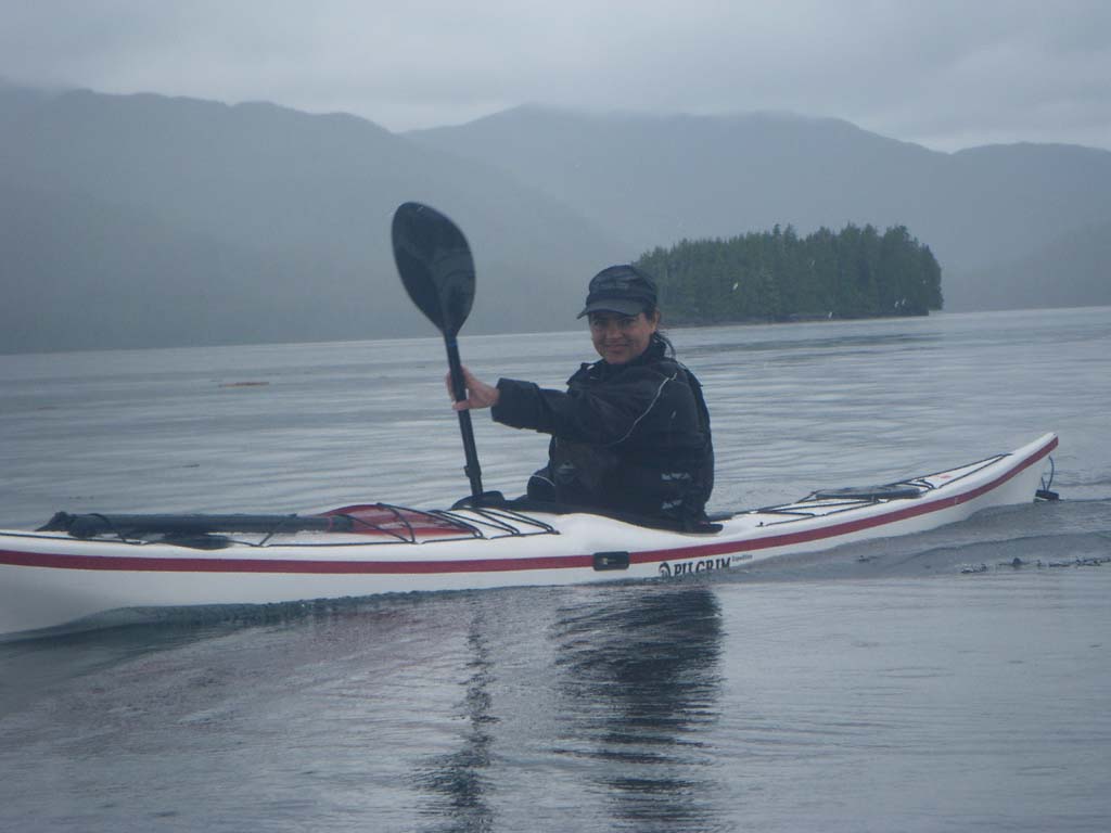
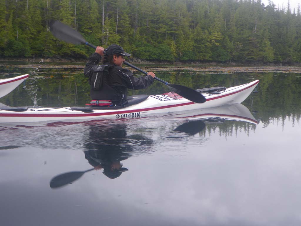
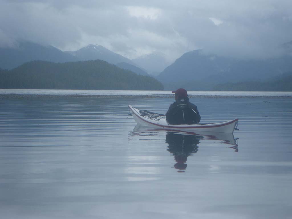
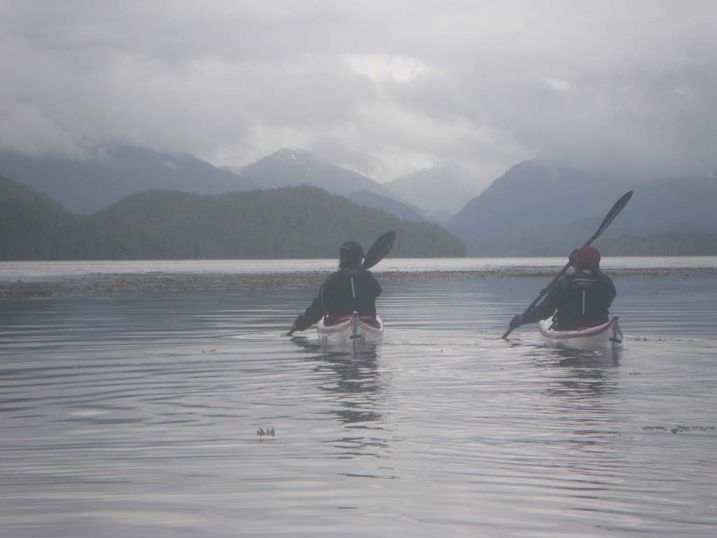
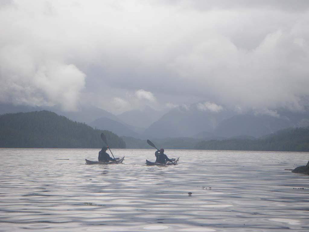
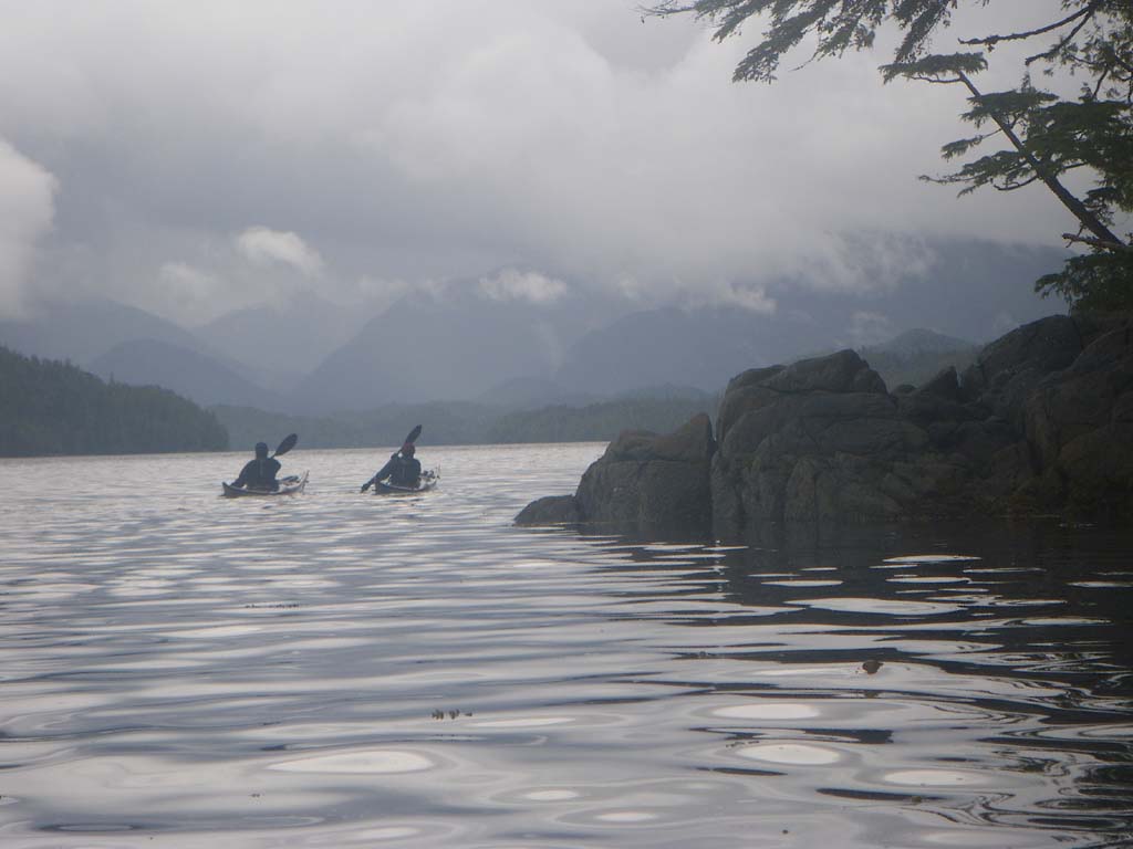
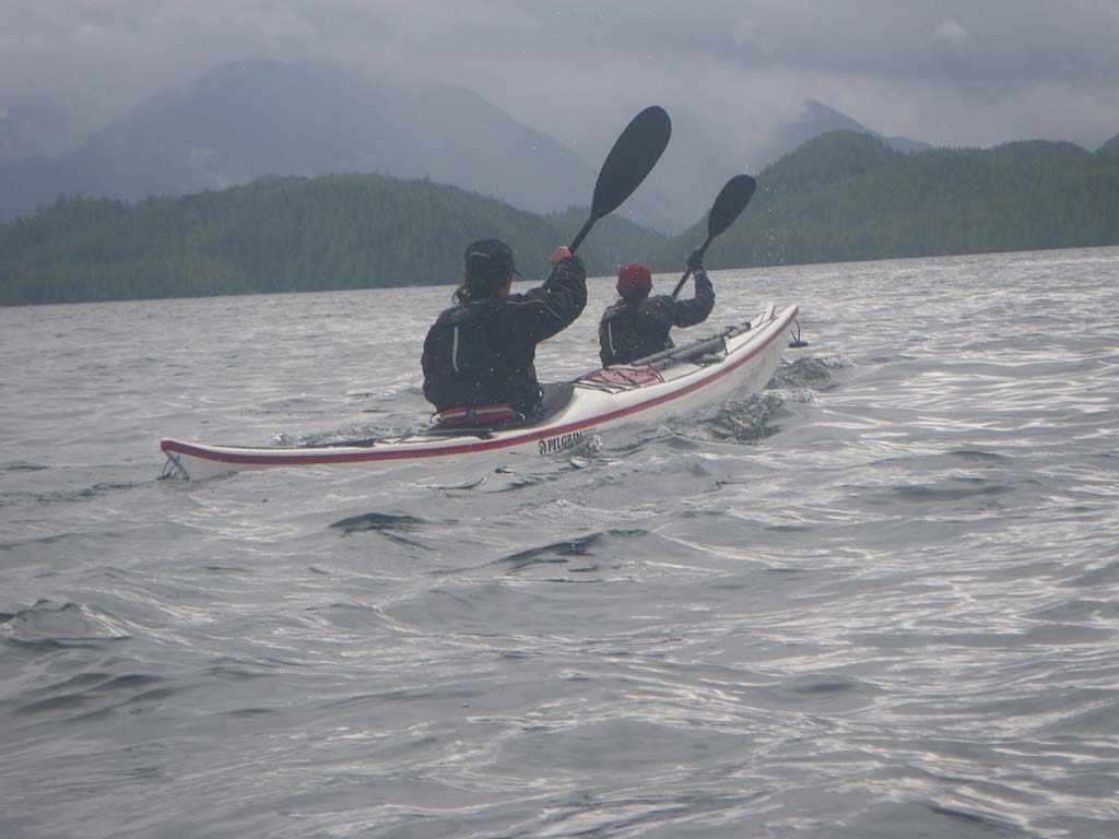
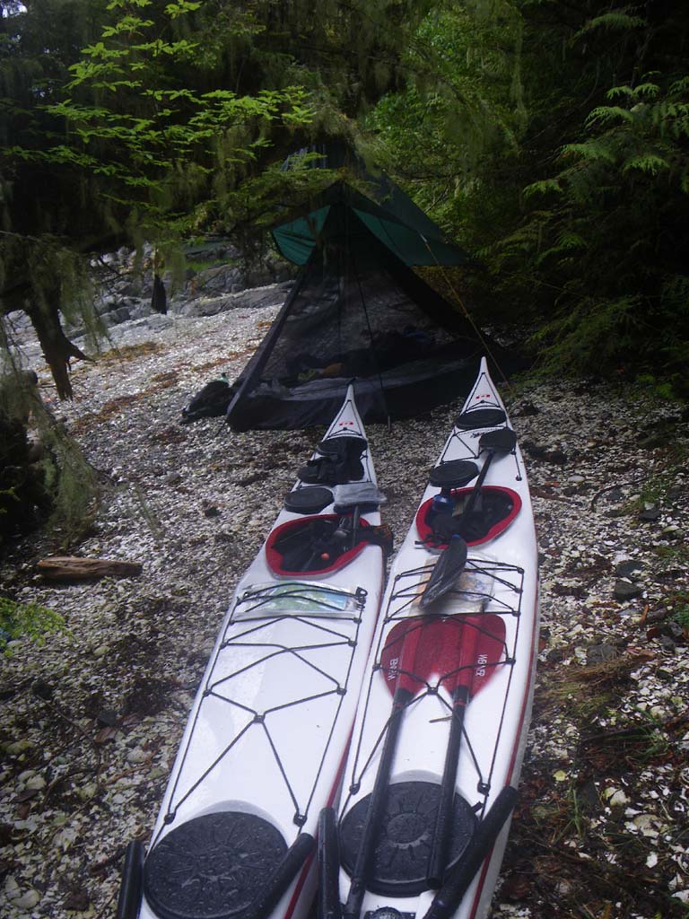
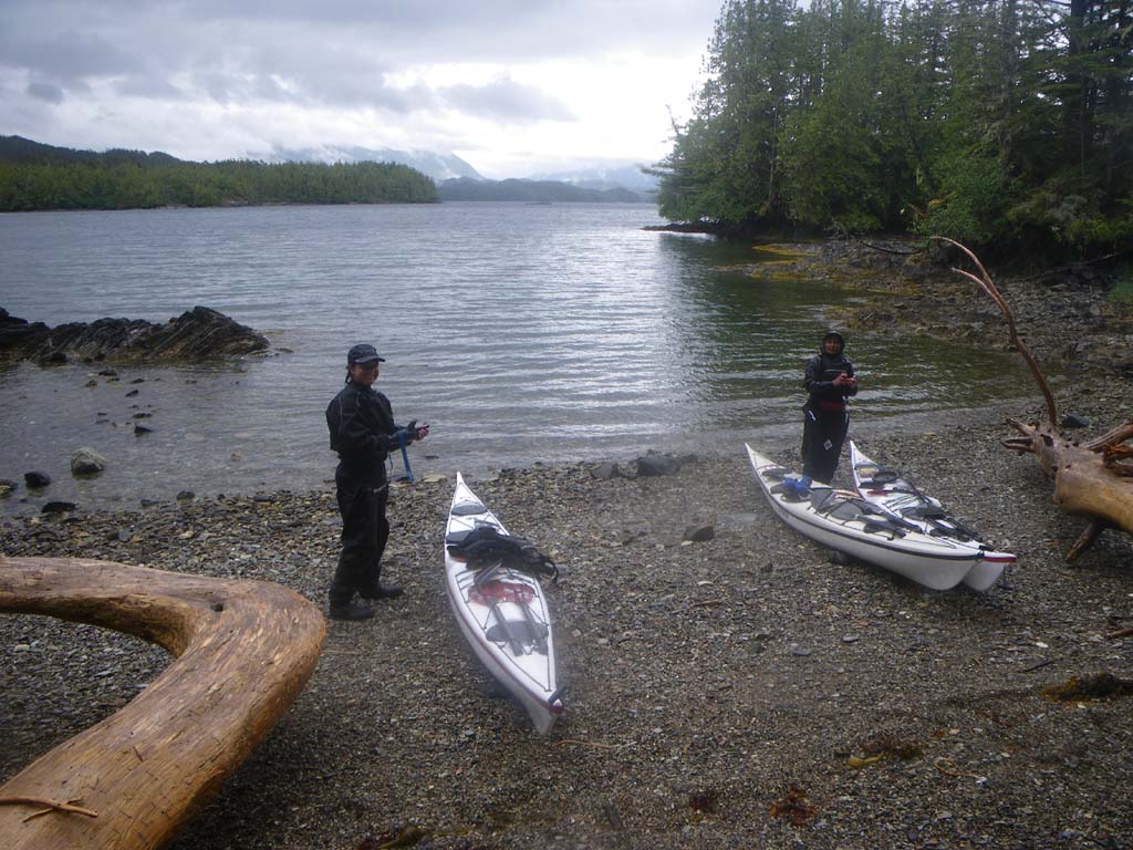
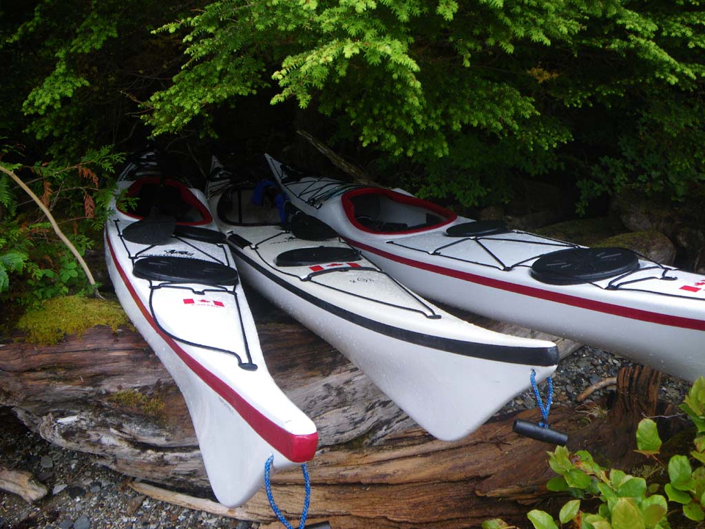
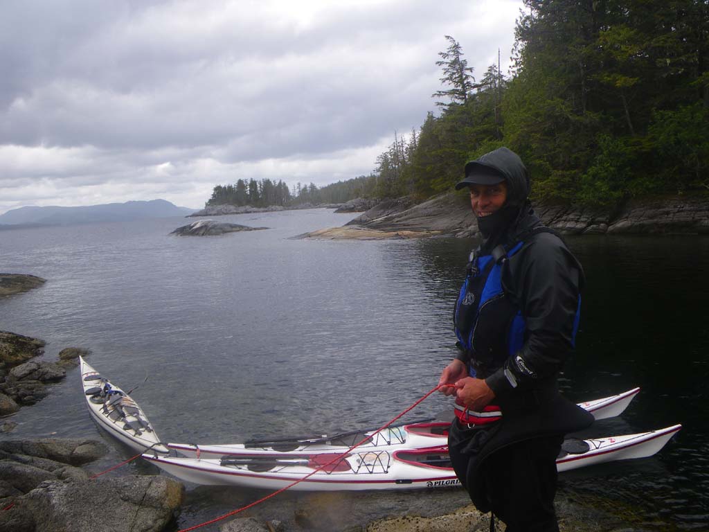
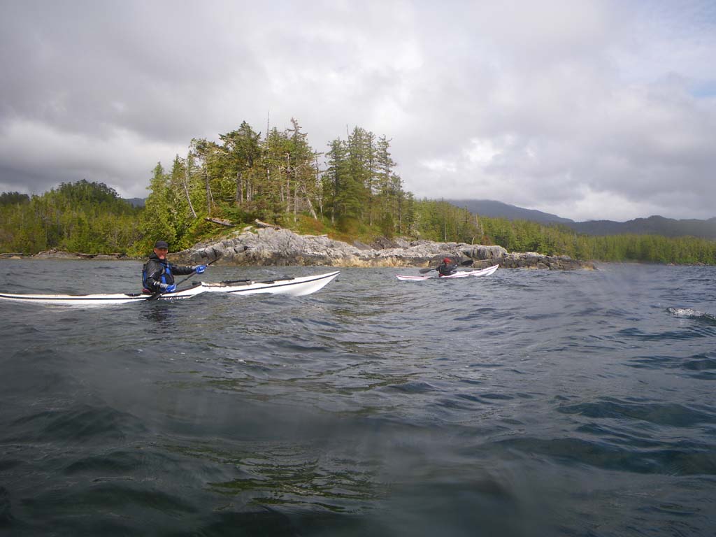
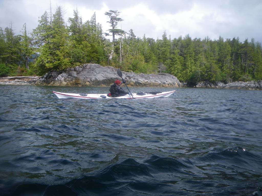
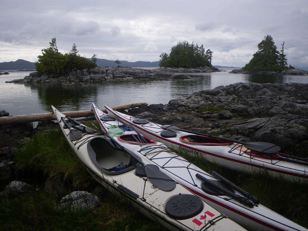
In case you were wondering who the Pilgrims are, the paddlers are Jonathan Walpole, Kirti Walpole and Jenny Johnson, but the Pilgrims are Kirti’s and Jenny’s new kayaks (Mayflower and Speedwell). They are “Pilgrim Expedition” sea kayaks from Sea Kayaking UK (SKUK), designed by Nigel Dennis specifically for smaller paddlers. This is their first major expedition and we are keen to see how they fare. Hopefully, the Speedwell will fare better than the original!
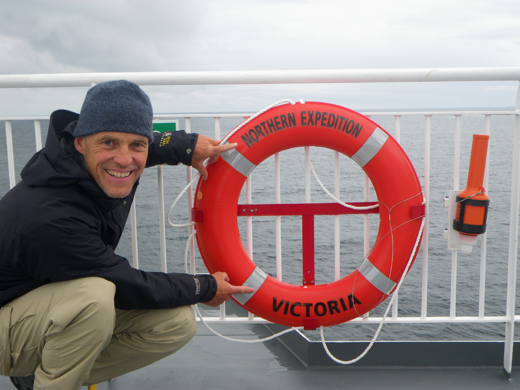
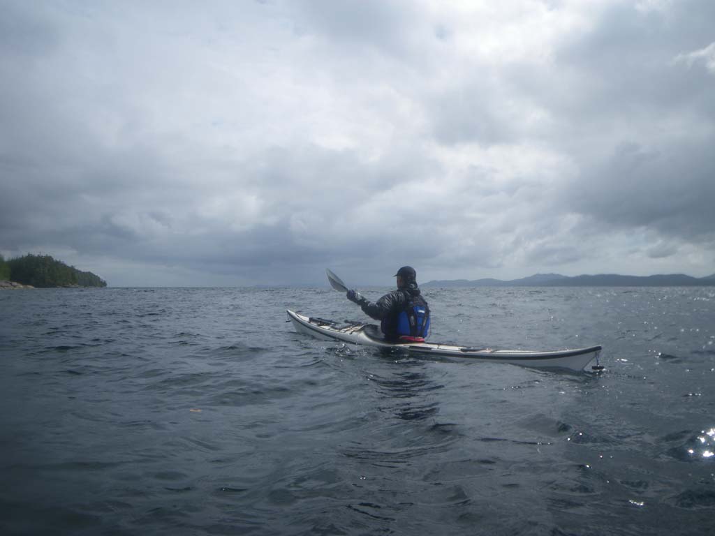
Like the early pilgrims we’ll be embarking on a sea journey in search of freedom, and we’ll be heading for America, but unless our navigation goes horribly wrong we won’t be crossing the Atlantic! Instead we’ll be paddling a combination Outside / Inside Passage route from Prince Rupert at the northern end of Canada’s west coast to Victoria at the southern end. Our exact route is not fixed. This is not about conquering anything or breaking any records: we plan to move cautiously and let nature determine our pace and route.
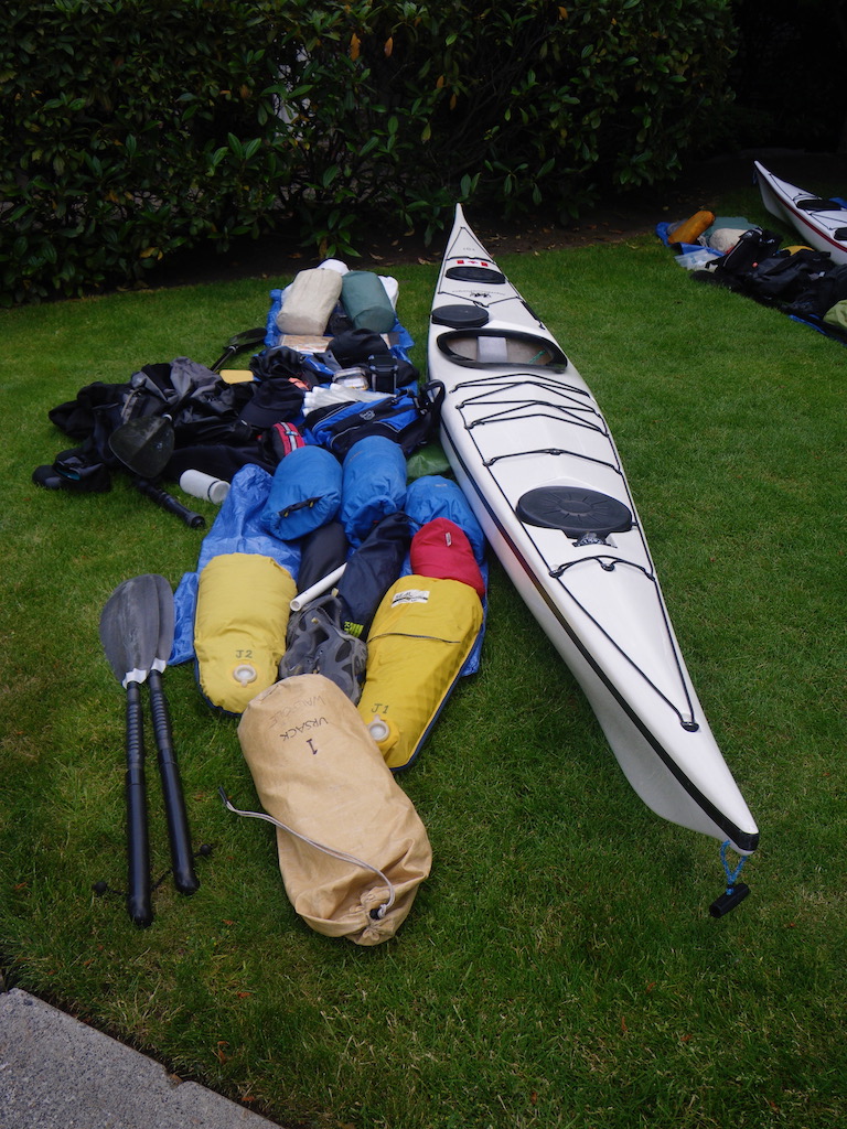
Packing
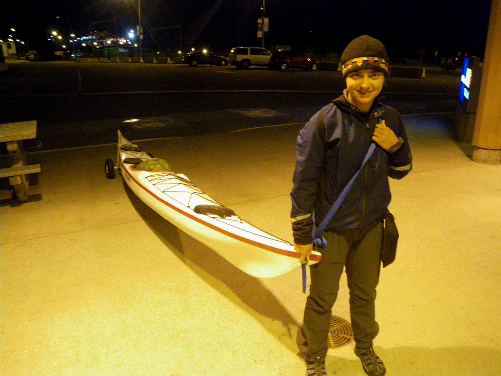
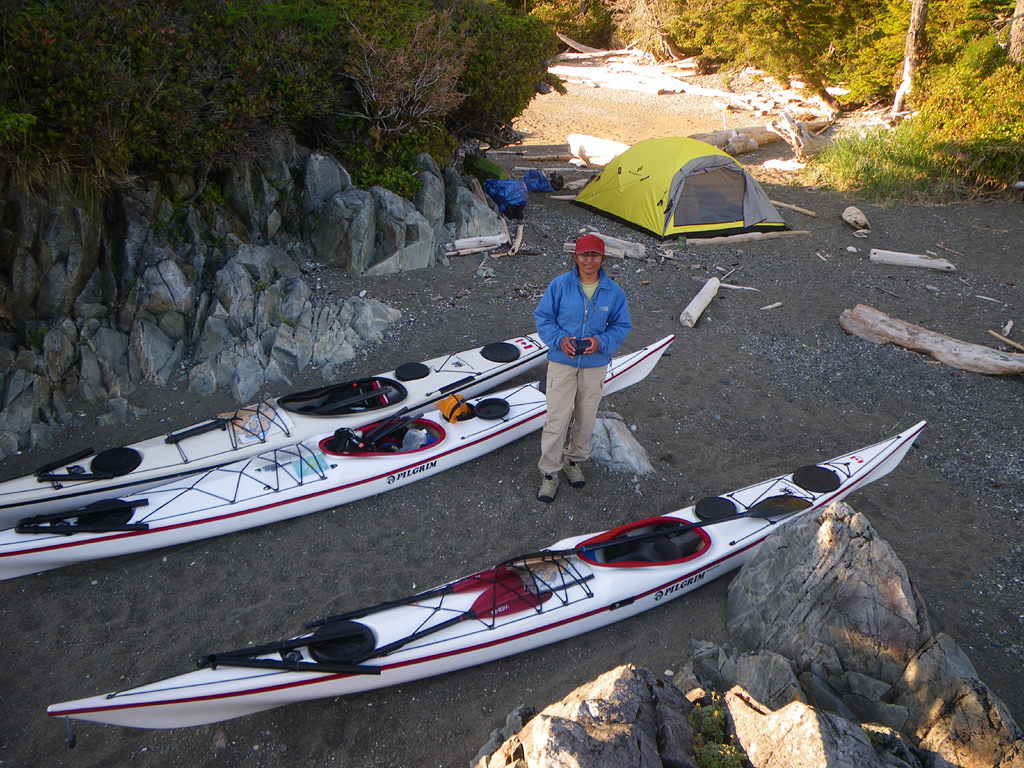
We’re leaving tomorrow morning, so today was spent packing. This not only means making sure everything we need for the trip will fit in our kayaks easily and efficiently, but also making sure that everything will fit in the car for the drive up there. Here is a glimpse at what we’re taking on the first leg of the voyage – food and everything else we need for almost a month. We also have a big pile for the second leg! Packing the car is going to be interesting.
Getting to the Start
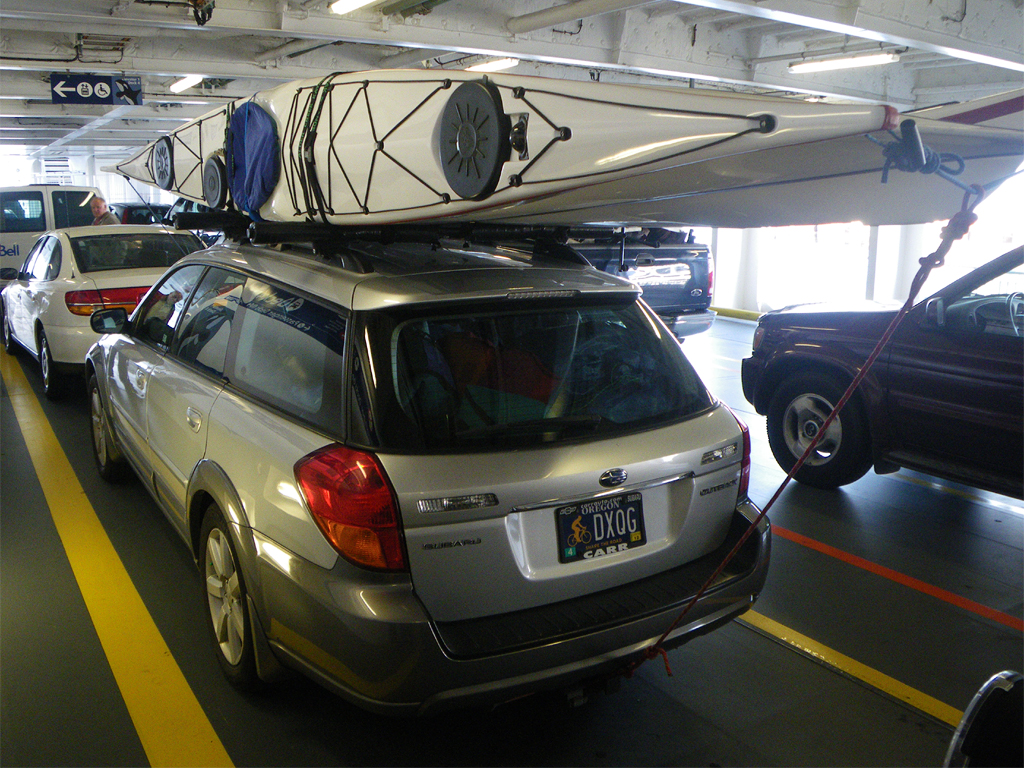
Travel Day 1: June 23. We left Portland, Oregon around noon and went by car with our kayaks and gear up through Washington State and across the border into Canada. We stayed overnight in Tsawwassen, British Columbia so we could be ready to catch a ferry over to Vancouver Island early the next day.
Travel Day 2: June 24. We caught the ferry from Tsawwassen to Nanaimo on Vancouver Island and then drove up Vancouver Island to Port Hardy where we stayed overnight.
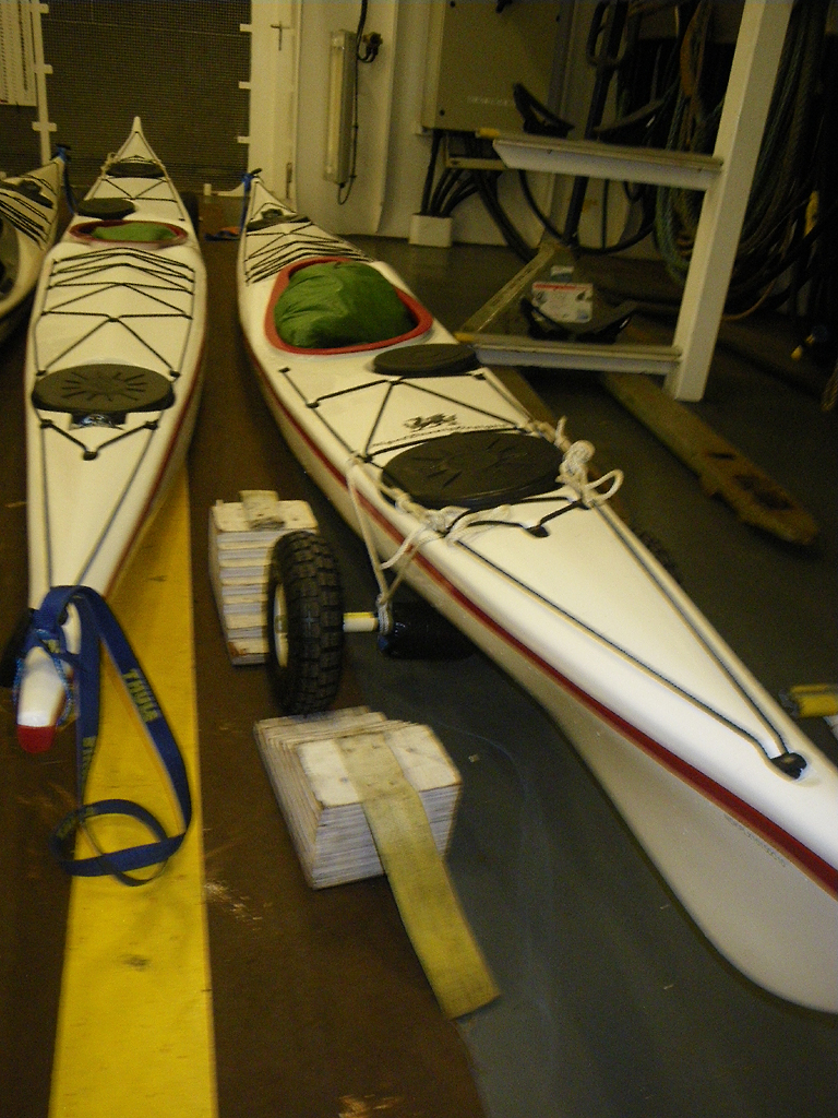
Travel Day 3: June 25. We traveled from Port Hardy to Prince Rupert via the Inside Passage Ferry. The ferry left Port Hardy early in the morning and we had to be there around 6am. We walked our kayaks on to the car deck and laughed as the crew placed chocks on the wheels of our kayak carts, treating them just like all the other vehicles. We took our therma rest mattresses up with us to use for sitting or snoozing inside and on the deck.
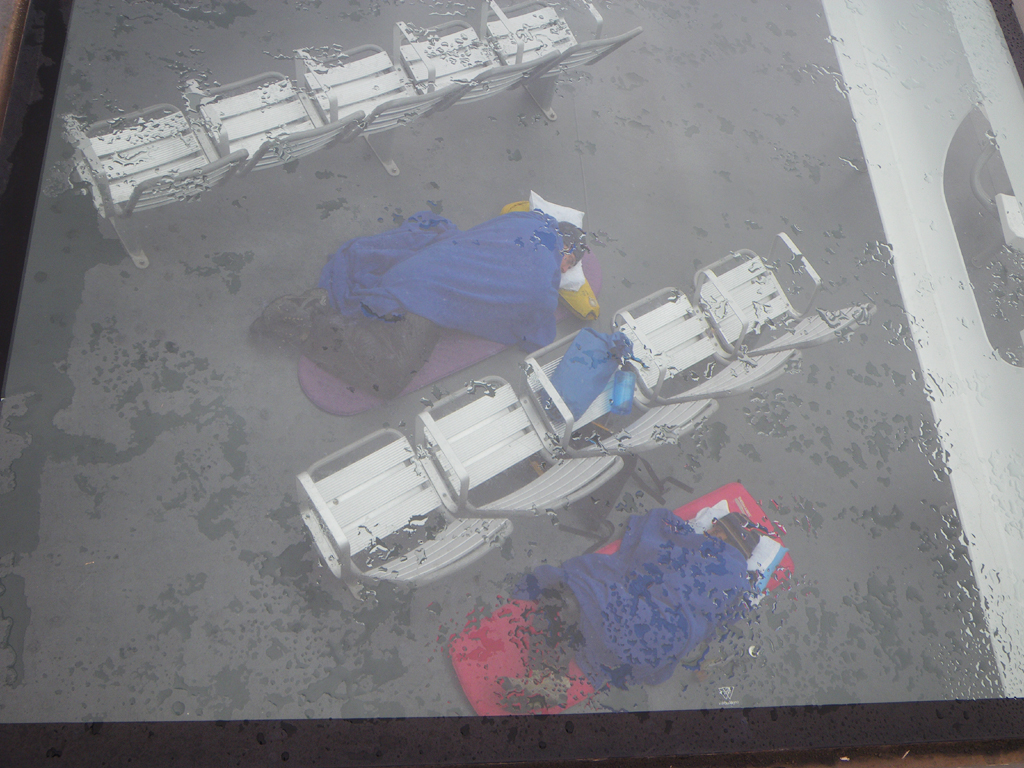
Our Ferry ride ended at Prince Rupert at 10:30 pm just as it was getting dark.We used our carts to wheel the kayaks off the ferry and went to the pick up our bags of gear that the ferry workers drove out.Nothing near the Ferry was open and the Ferry building soon closed as well.Everyone left the area.There is no overnight camping at the ferry terminal.
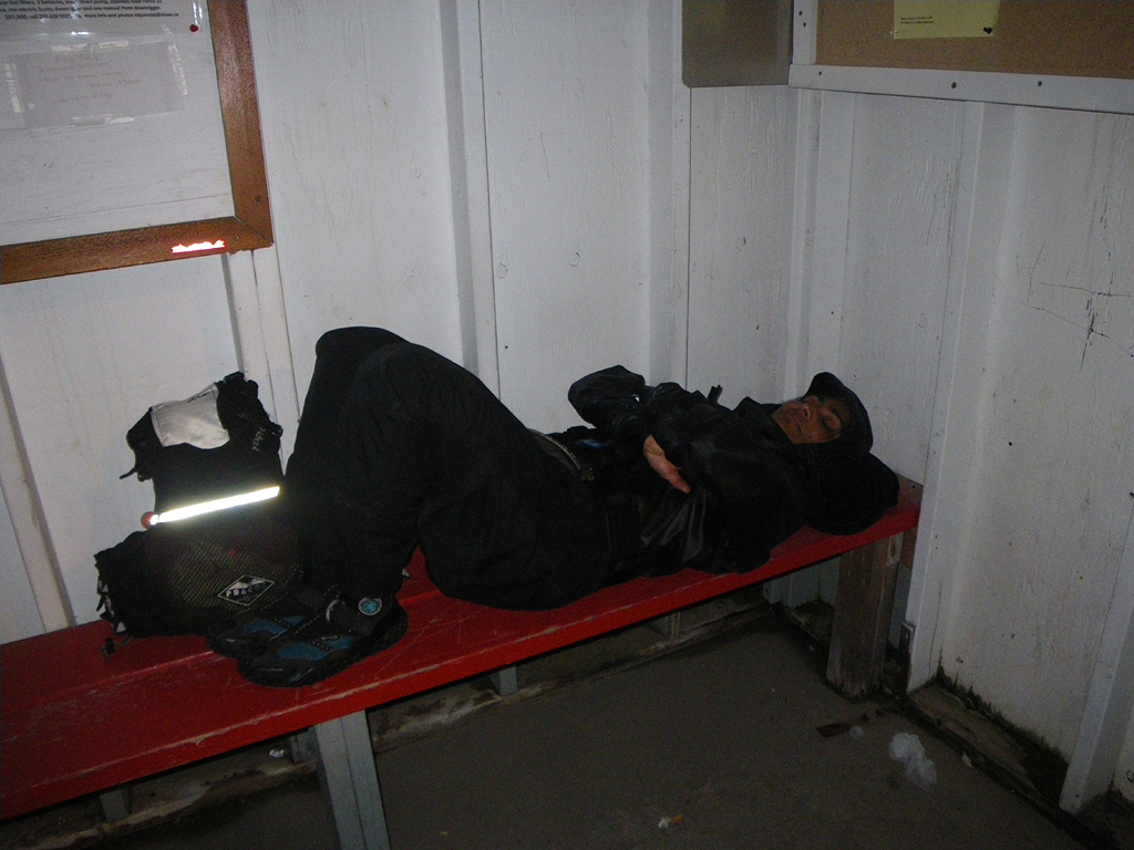
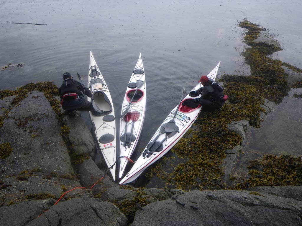
We scouted out the area and found that the closest launch would be the marina about ¼ mile away.We took our time hauling our boats and bags of gear to the marina.Once there, we proceeded to pack our boats and get everything ready for our launch even though it was a few hours before dawn.Every last inch of space was used up.Since it was too dark to launch we tried to rest a bit and take a snooze under a small shelter near the marina. Our plan was to paddle at first light then camp after a couple of hours and catch up on sleep then, since there is nowhere to camp near the ferry terminal and there was no easy way to move our boats and gear up into town to sleep there.
Day 1–Prince Rupert to Kitson Island
Date: June 26
Distance: 8 nautical miles
Duration: 3 hours including one stop
Forecast: SE winds 20-25
Actual conditions: 60 degrees, overcast , calm
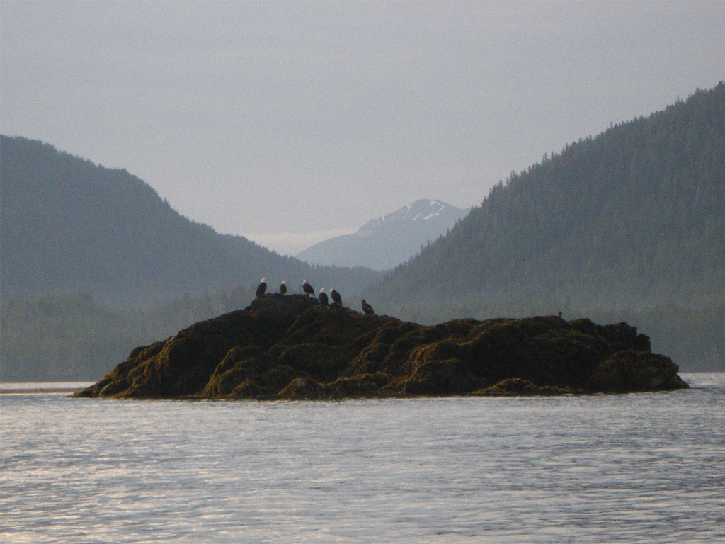
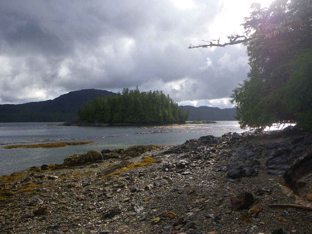
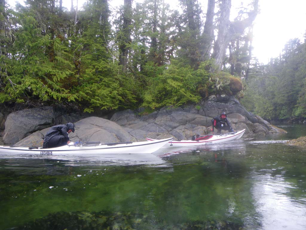
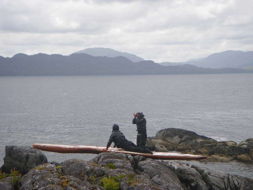
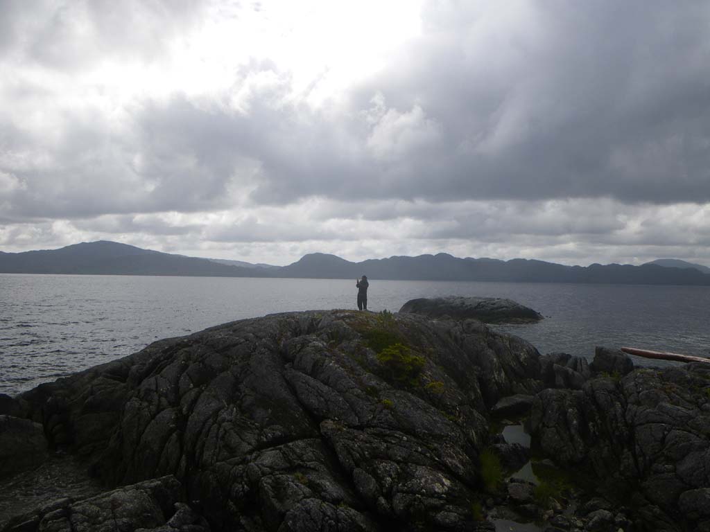
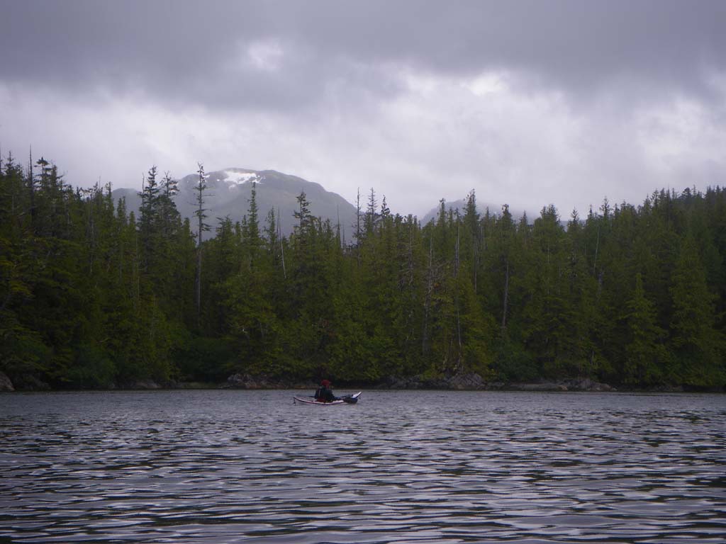
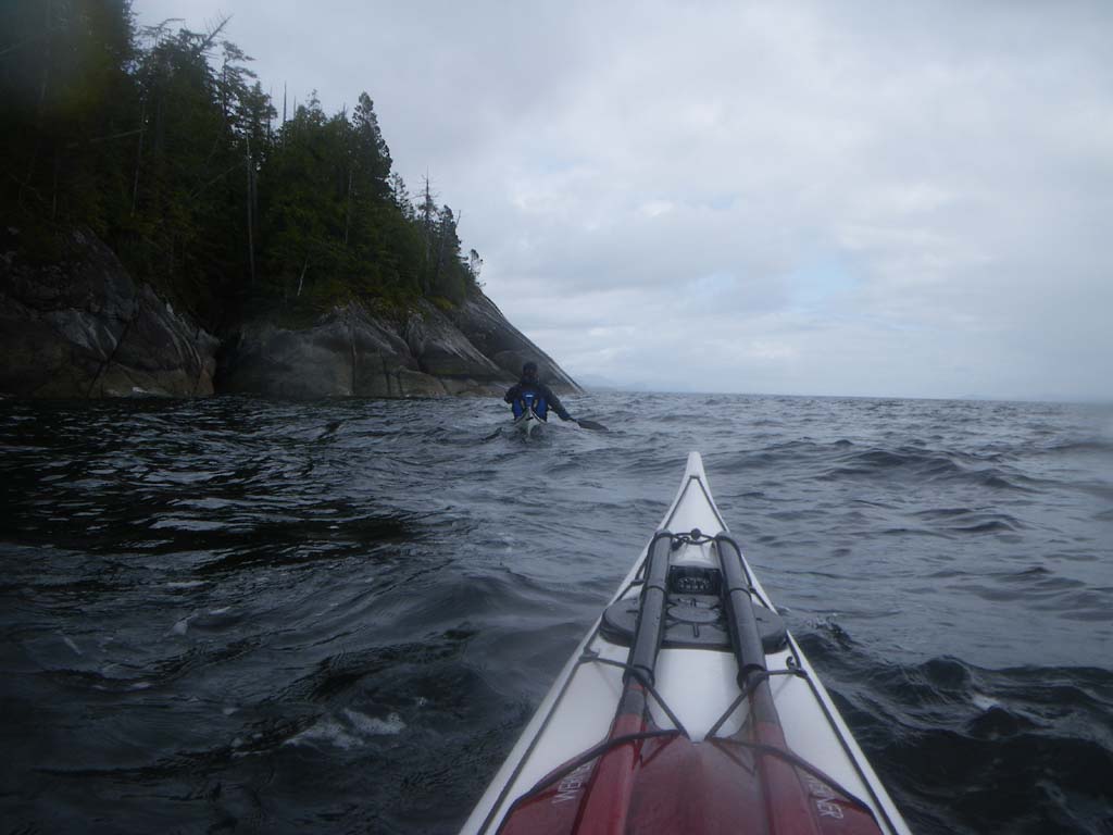
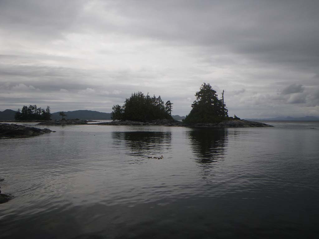
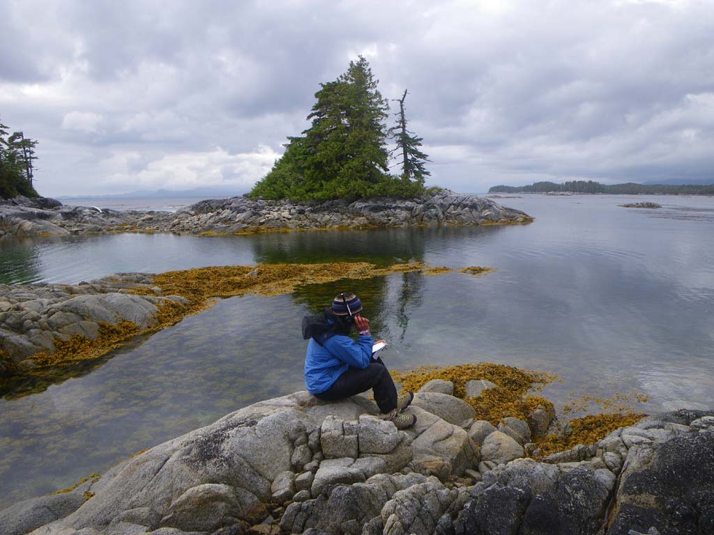
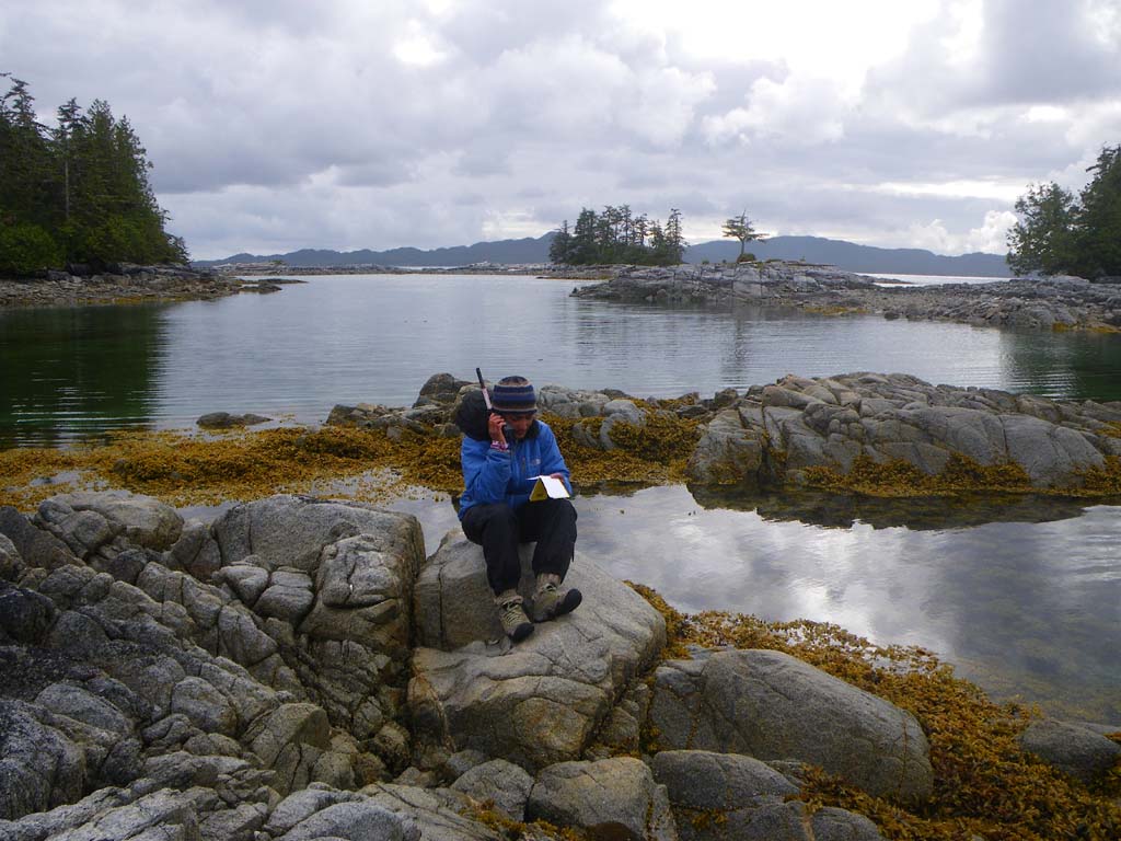
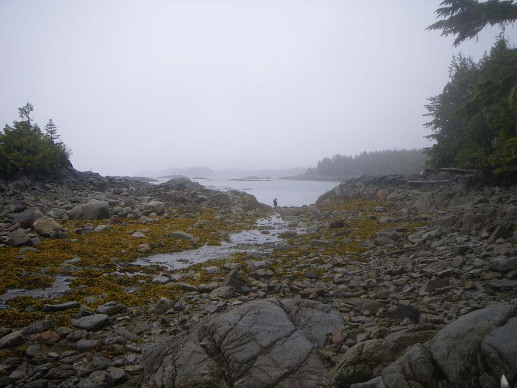
We launched in the dark (3:30 am) and paddled past ships being loaded with containers.Trains along shore were bringing in more containers.Ships were being filled with coal.One ship was being loaded at 10 pm when we went by on the ferry and it was still being loaded when we paddled by in the morning. Approaching Kitson Island we saw numerous eagles on rocks, in trees, on sandbars and in the air.The eagles and ravens kept up a constant chatter.You can still hear the train whistles from Kitson Island, but its a peaceful camp.The Prince Rupert Ferry went by as did cruise ships.We arrived at 6:30 am, rested and caught up on sleep.There were 3 river otters close by our camp and when we went hiking along the shore one kept barking at Jonathan.We heard loons calling and saw several ducks.Seals came by and our eagle count for the day was 53. At one point we could see over 40 bald eagles at the same time.
Day 2–Kitson Island to Oval Beach
Date: June 27
Distance: 18 nautical miles
Duration: 6 hours with two stops
Actual conditions: sunny and calm to start, later a tailwind and current with us and then low swell on the outside of Porcher Island
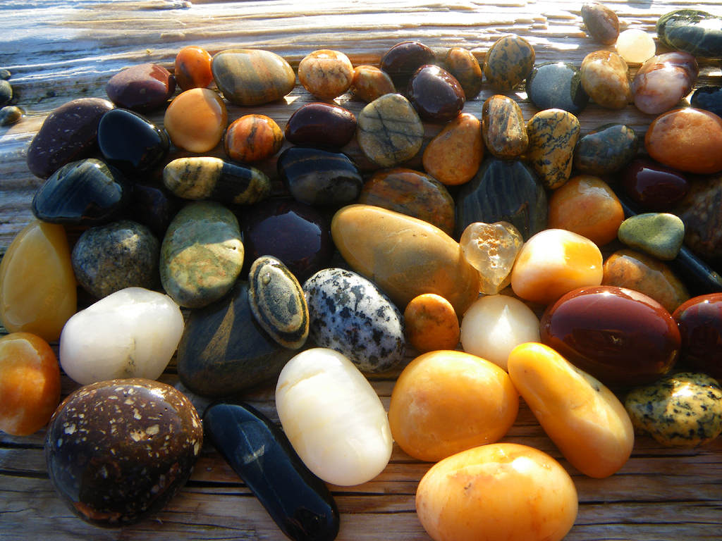
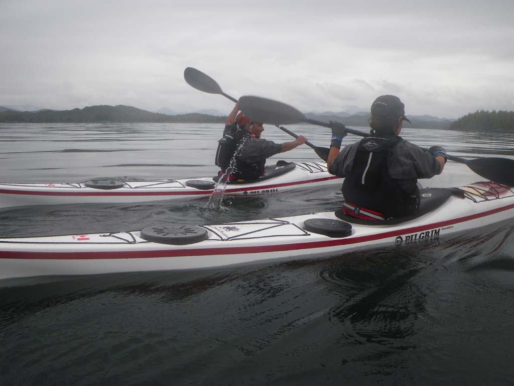
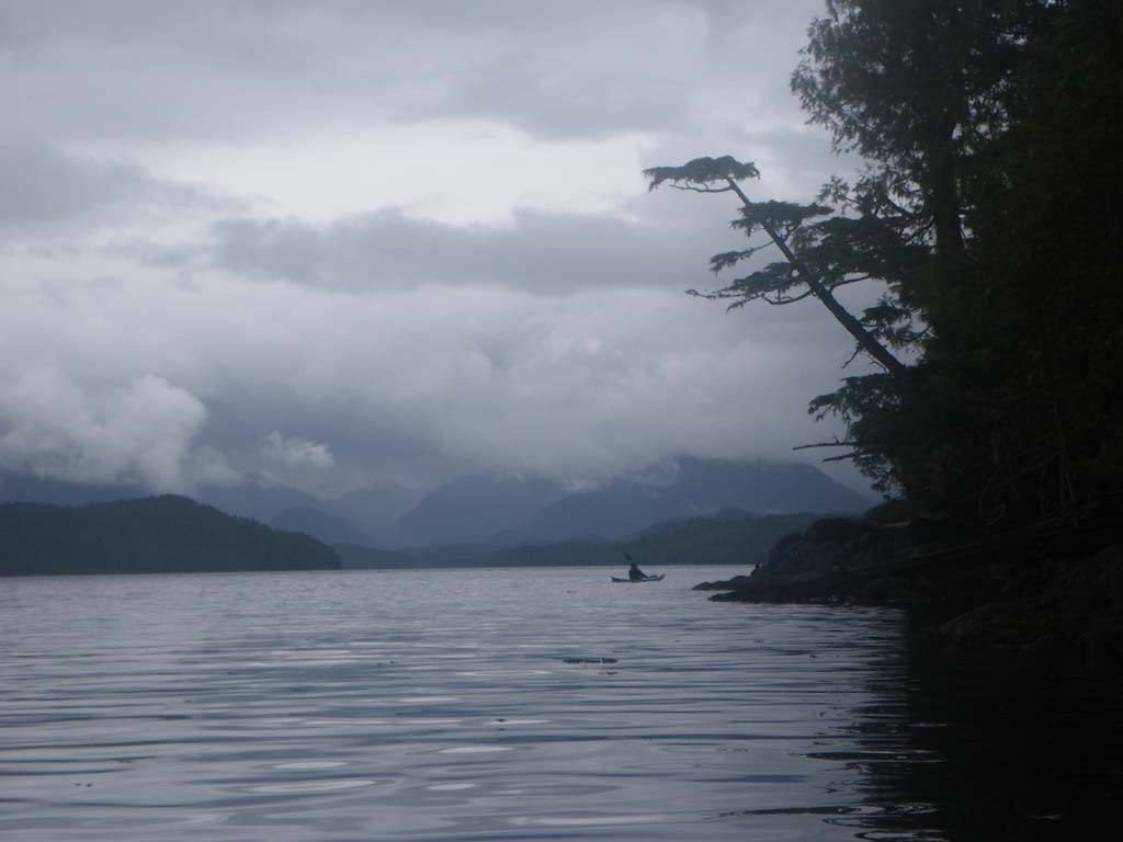
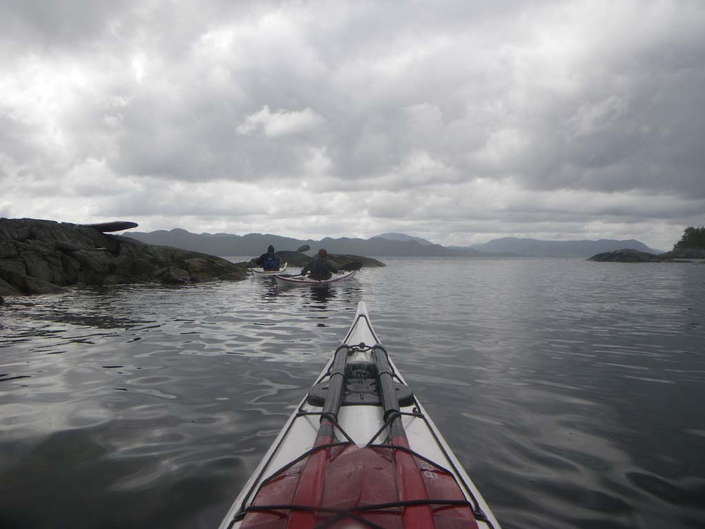
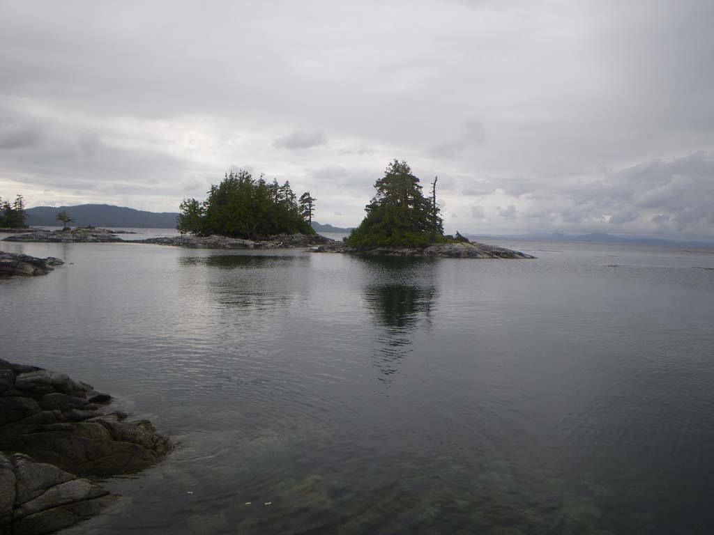
The day started early with a long crossing to Porcher Island in glassy calm conditions, but soon a 10-15 knot NE wind picked up and we had the pleasure of quartering following seas and even some current assist. We made good time. We stopped at Oval Beach and then were going to keep going because conditions seemed good, but we decided to listen to a forecast before continuing. It called for increasing winds and rough seas so we decided to stay put at a beautiful pebble beach at the North end of the bay.We saw four orca swimming near our rocky point.It looked like two females and a young one with a male farther out. We walked the beach and checked out a rocky mound where a whole bunch of eagles were congregating near the water line.They flew into the trees as we came by.We discovered they were feeding on small fish that were coming in to spawn on the sandy beach in that area.The little dumping waves picked the fish up and threw them forward where they would then wiggle back to sea.We saw 25 bald eagles.
Day 3–Oval Beach to Hankin Point
Date: June 28
Distance: 30 nautical miles
Duration: 10 ½hours with three stops
Actual conditions: Overcast with no wind.Tide against most of the way and low swell.
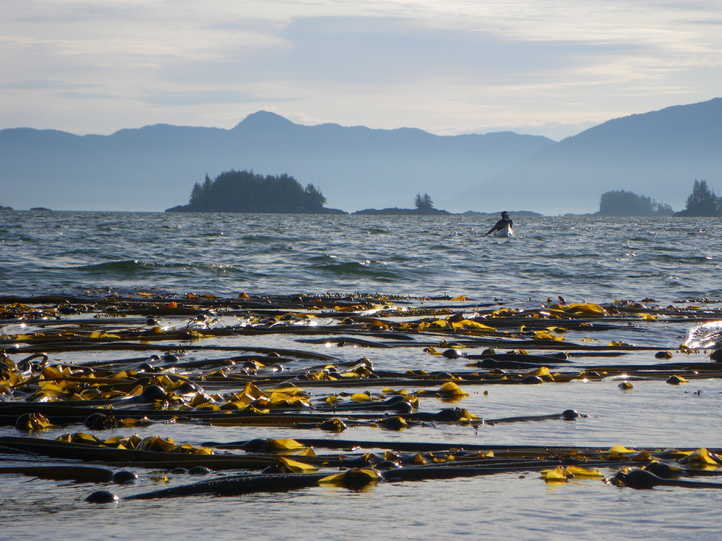
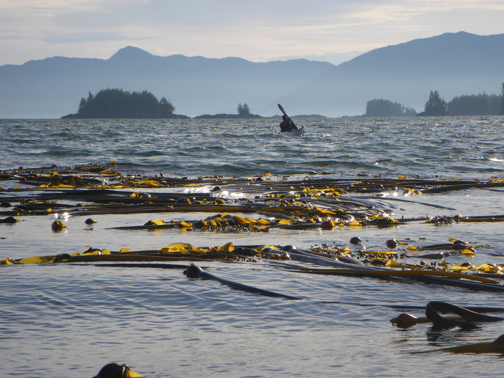
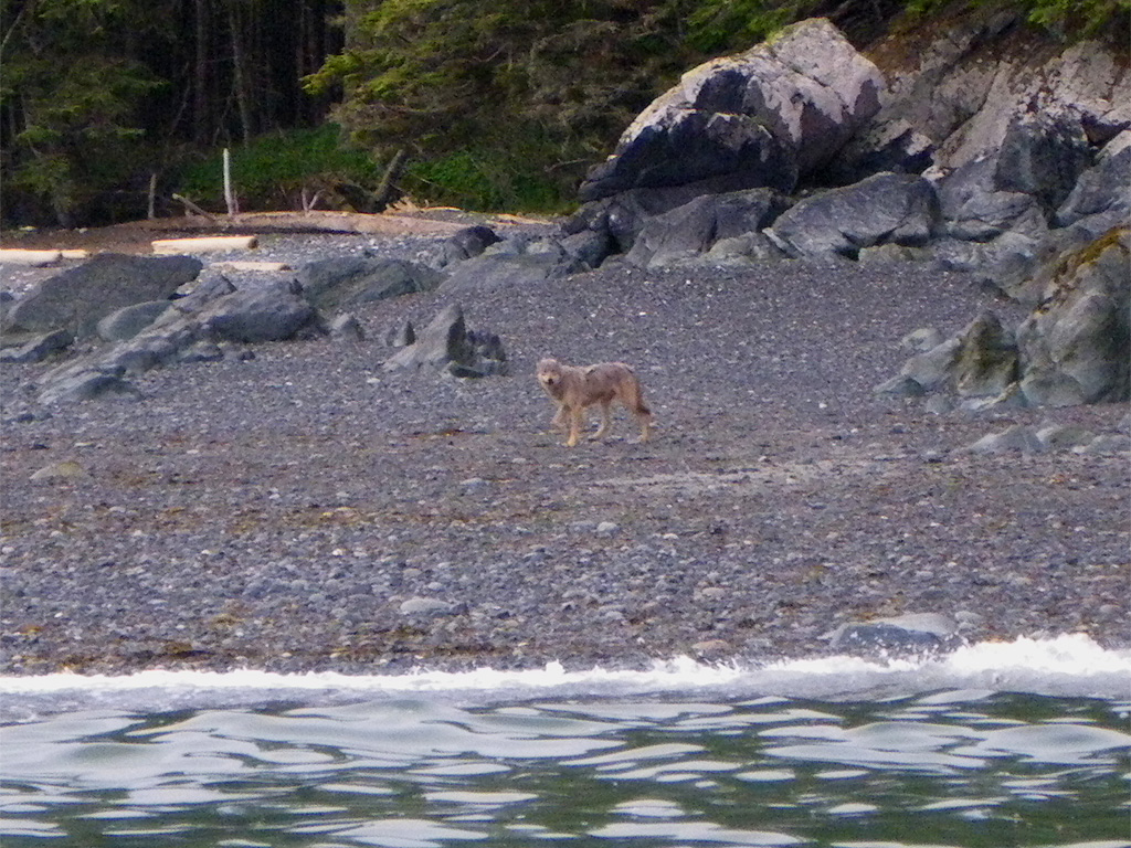
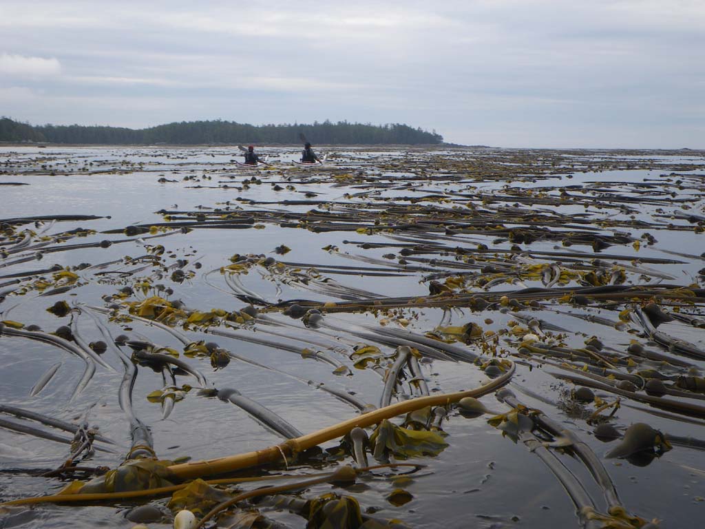
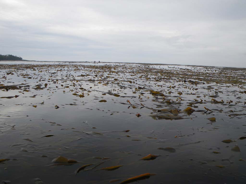
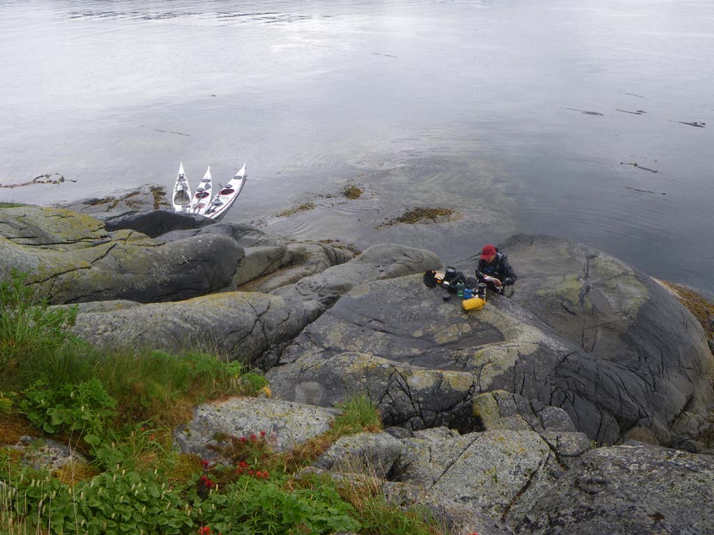
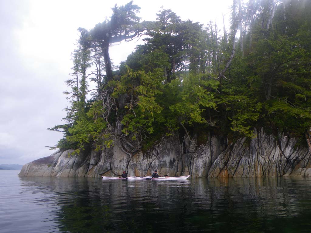
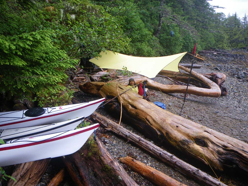
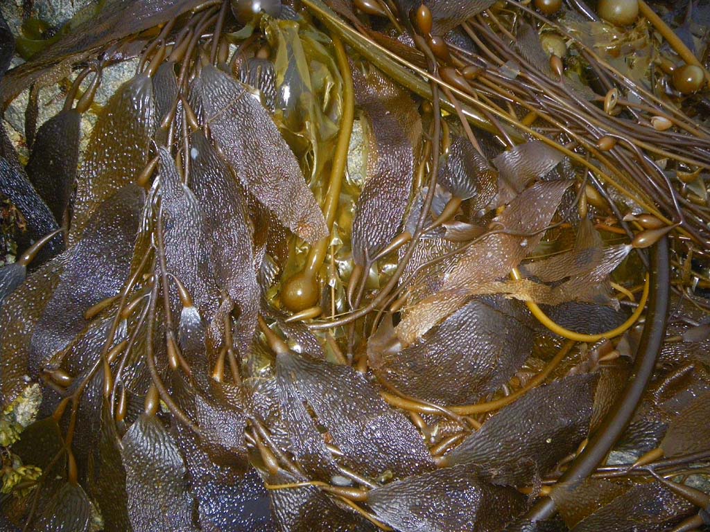
Another early morning start. We saw a wolf cruising along the shoreline.He was brownish gray and seemed curious and unafraid of us in our boats.We went through many enormous healthy kelp beds.We stopped to get water but it had a lot of tannin in it.We had many long crossings of bays and from island to island.At Hankin Point we found a bed of live sand dollars.This camp required us to put a tent under the trees.We also put up a bug shelter with a rain tarp since there were both mosquitoes and rain.We hauled kayaks up and rested them on logs above the high tide line.At low tide you can see the rock fences that the natives used as fish traps.We saw seals, sand hill cranes and 27 bald eagles.
Day 4–Hankin Point to Anger Island
Date: June 29
Distance: 26 nautical miles
Duration: 8hours with 1 stop
Actual conditions: Small swell and light wind with rain, rain, rain
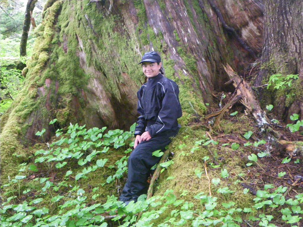
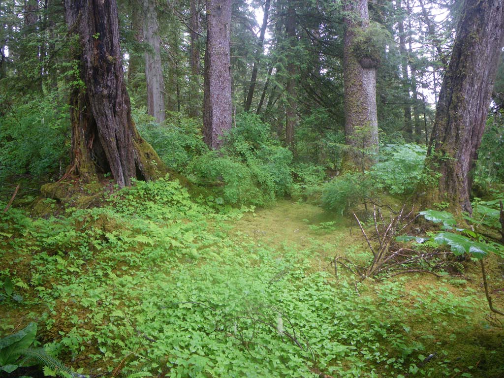
We picked up two dromedary bags of water from a stream at Hankin Point before we set off.We paddled part of the day with the swell, stealing energy from the waves.We paddled against the tide most of the time.We had some wind and a little chop for our last crossing to Anger Island.We actually got further than we thought we would.We stopped on a very small island for a hot breakfast/lunch. It was cold and rainy.We passed through beautiful sets of little islands.We saw 24 eagles, 2 orcas, 2 otter, 2 seals and one sailboat in the distance.We found our camp to be in a very protected location with a great forest and rocks. The forest is fairly open and easy to walk through with stumps of old growth trees.At camp there is a huge old shell midden.There were also pottery shards all over along with some strange graphite rods.When the tide dropped you could see a rock fence for a fish trap area and two cleared pathways for boat landing.All the big rocks had been moved aside.The tannin in the water slowed the filter immediately.
Day 5–Anger Island to Ralston Islands
Date: June 30
Distance: 8 nautical miles
Duration: 3 hours
Actual conditions: Overcast, rainy, windy with whitecaps, tide against.
We woke to the sound of rain on the tent and decided to sleep more and launch later to have more tide with us. We saw humpback whales, 23 bald eagles.This is a great maze of islands with different kinds of rock. The South East wind picked up and we decided to stop instead of go on to Monkton inlet.We had to paddle back the way we came to find a camp.We set up shelters and prepared for the weather.
Day 6–Ralston Islands
Date: July 1
Distance: 0 nautical miles
Duration: 0 hours
Actual conditions: Stormy
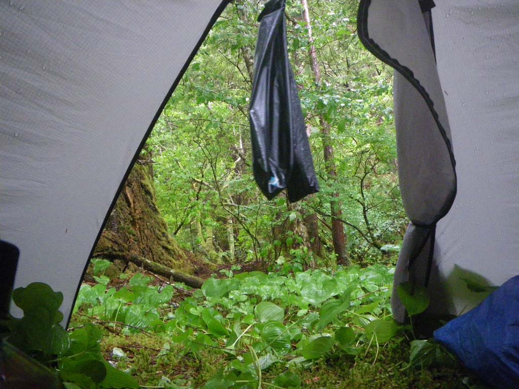
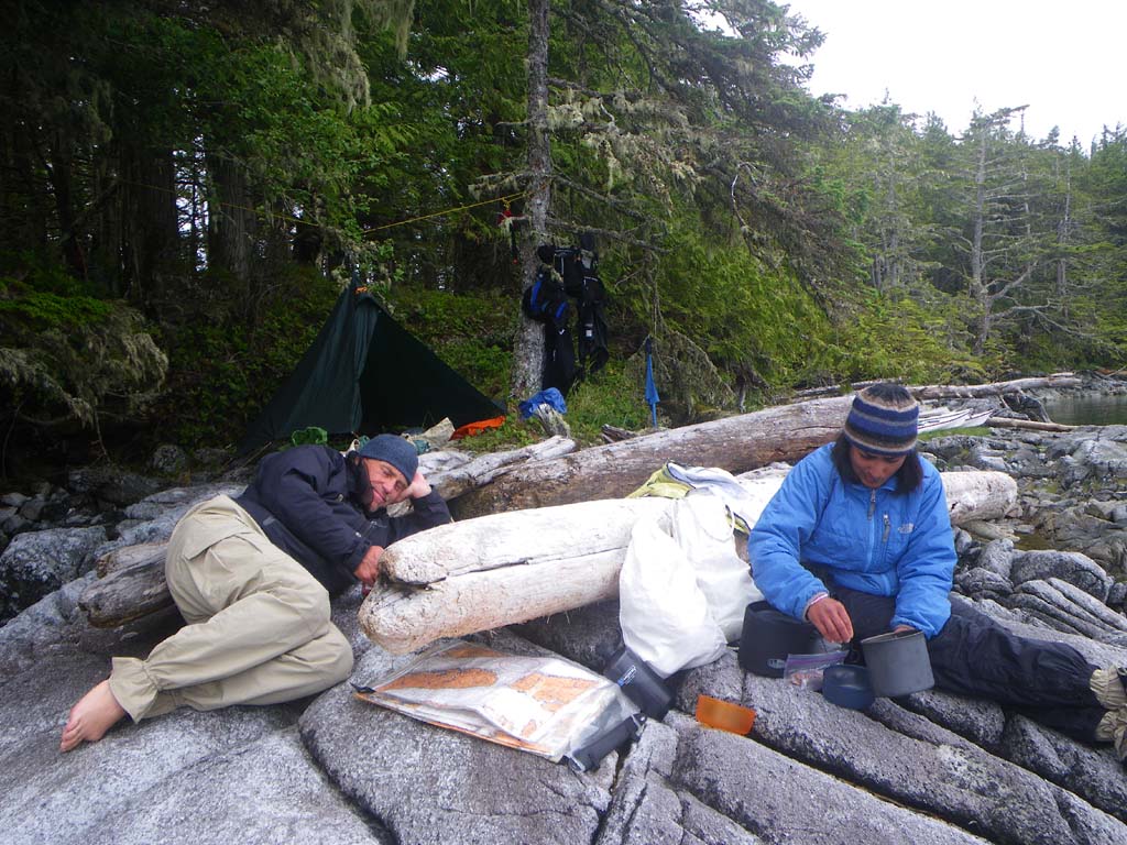
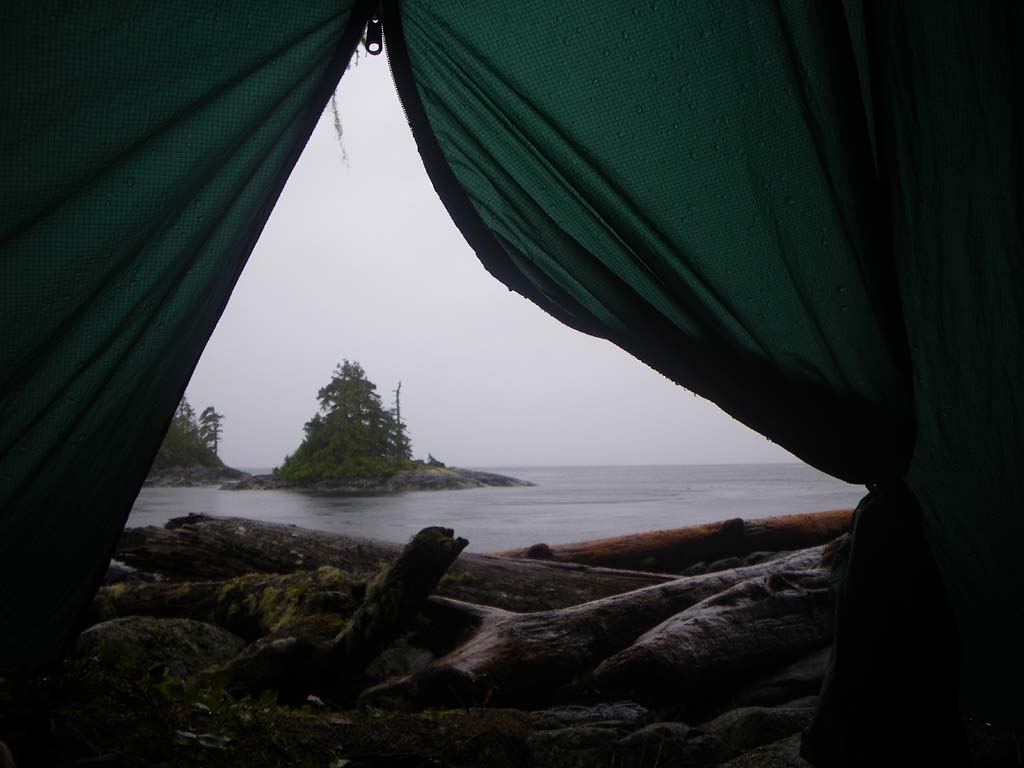
We hunkered down to wait out the weather.A fierce storm blew with constant wind and rain thrashing down. The intensity was amazing. The wind was like a jet engine for hours and the rain was torrential. The wind and rain blasted at full intensity for over 36 hours.We stayed tent bound.We snoozed a lot and read 14 chapters of the book “Born To Run”.It was very challenging to keep things as dry as possible.Our camp was only slightly protected in the woods with kayaks pulled up on logs. The wind was blowing 40-50 knots constantly all day from the South East straight up Principe Channel.Intense wind gusts would blow frequently as well.It easily rained several inches in one day.We had about six inches of water in our cockpits by the time the storm was over. The temperature dropped.
Day 7–Ralston Islands to Monkton Inlet
Date: July 2
Distance: 18 nautical miles
Duration: 8 hours with a few stops to stretch and eat
Actual conditions: Tide against, South East wind 15, bigger waves with whitecaps gradually diminishing
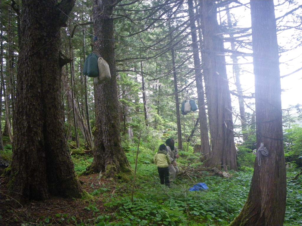
To escape the wind and waves we paddled into Lundy Bay, which was beautiful. We had some lunch there, but it was very cold and wet so we got back on the water to paddle hard and warm up. There was no camp available there that would survive a high tide and a strong SE wind. Eventually we made it to Monkton Inlet. Our camp was in a little cove where we had a glimpse of sunshine so we spread everything out with the hope it would dry a bit. We put the tent in the woods past an old base for a log cabin.The forest was green and mossy.We found more broken pottery, old kettles, etc.There was a bear trail with (old) grizzly bear scat in the middle of it.We saw a mink run across the beach.High tide made it tricky to get to our boats and food that we had bear bagged.We timed it so that the tide would be dropping when we left.We had rain at night and in the morning.Our water filter slowed way down.We saved our other filter for clearer water and put tablets in the tannin water instead.
Day 8–Monkton Inlet to an island off Finlayson Peninsula on Campania
Date: July 3
Distance: 14 nautical miles
Duration: 51/2 hours
Actual conditions: Tide was with us at the start with the wind against.Soon the wind picked up to 15+ knots against, with waves, and eventually the tide turned and started running against us.
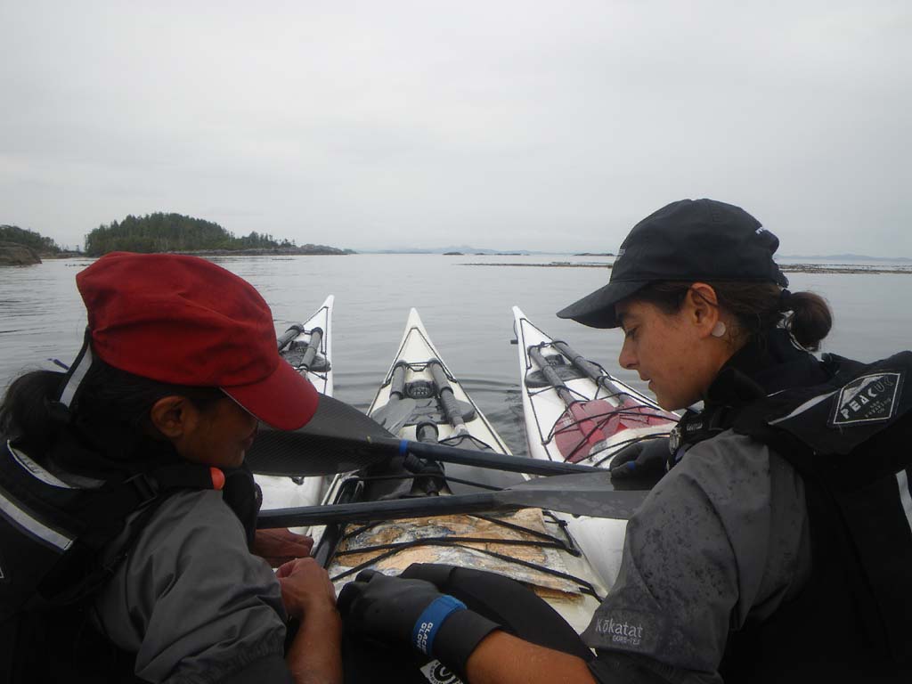
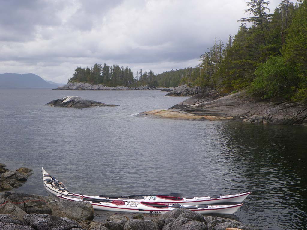
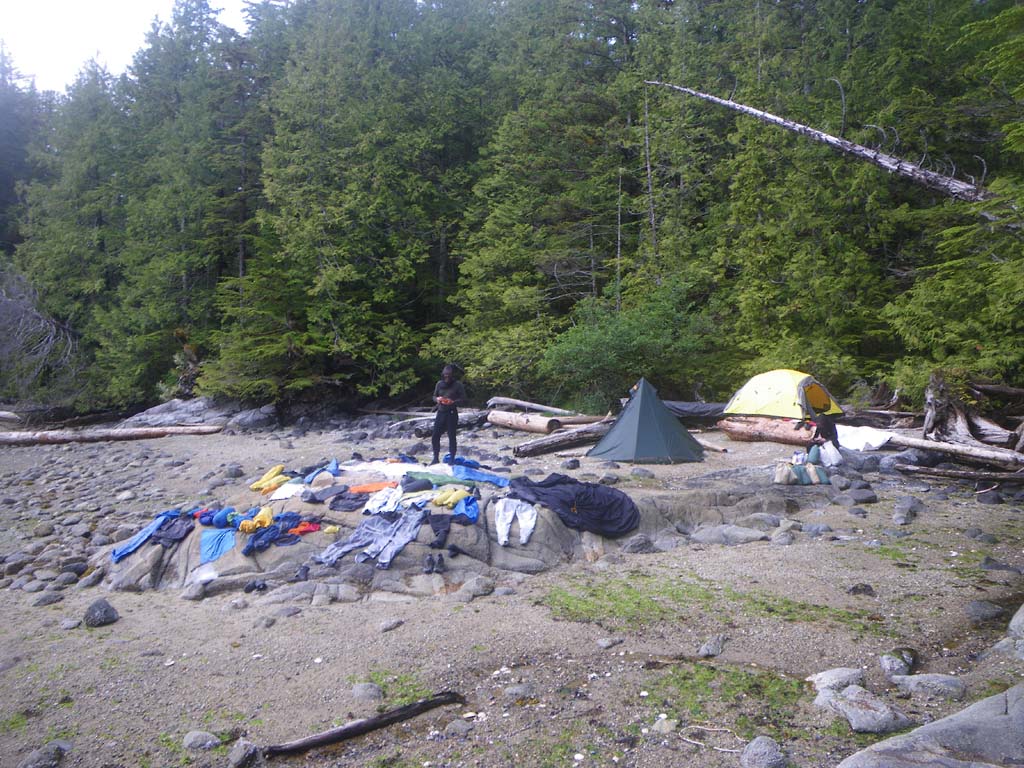
We were finally able to get a weather forecast as we were going through Otter Channel.It was the first forecast we were able to get since Oval Beach.We had a long crossing from Pitt Island to Campania – 3 ½ nautical miles.Wind and tide turned against us. It was hard going to make any headway especially around the headlands once we got to Campania.We couldn’t make it to the camp we had set out for but found a nice little one with one tent spot in the woods and rocks to cook on (after some intense searching around).Tidal difference at Prince Rupert is 18 ½ feet. It seems to be much more here.There was a really long, rocky and seaweed covered carry to get above the high tide line, so we elected to tie off and incrementally float the boats up as the tide came in. Once we had established camp we walked around the island trying for an updated forecast, but could not get a signal anywhere.Kirti called Jim on the Sat phone and got a weather forecast.We saw a few boats go by in the distance today.We saw 20 bald eagles, a foot and a half long red and orange sea cucumber, seals,and a whale splash in the distance.
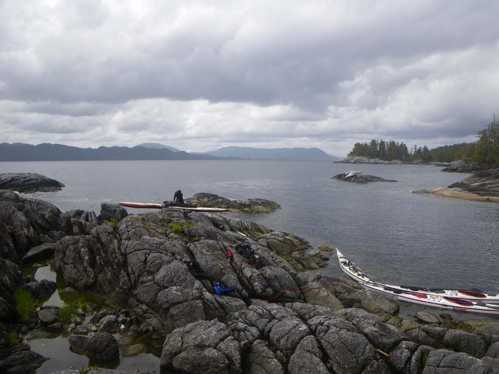
Day 9–An island off Finlayson Peninsula on Campania
Date: July 4
Distance: 0 nautical miles
Duration: 0 hours
Forecast: Southeast winds 35-45 knots
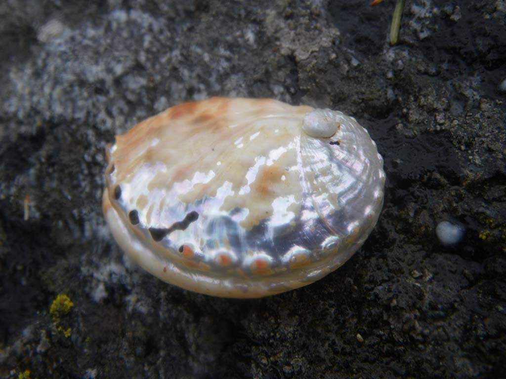
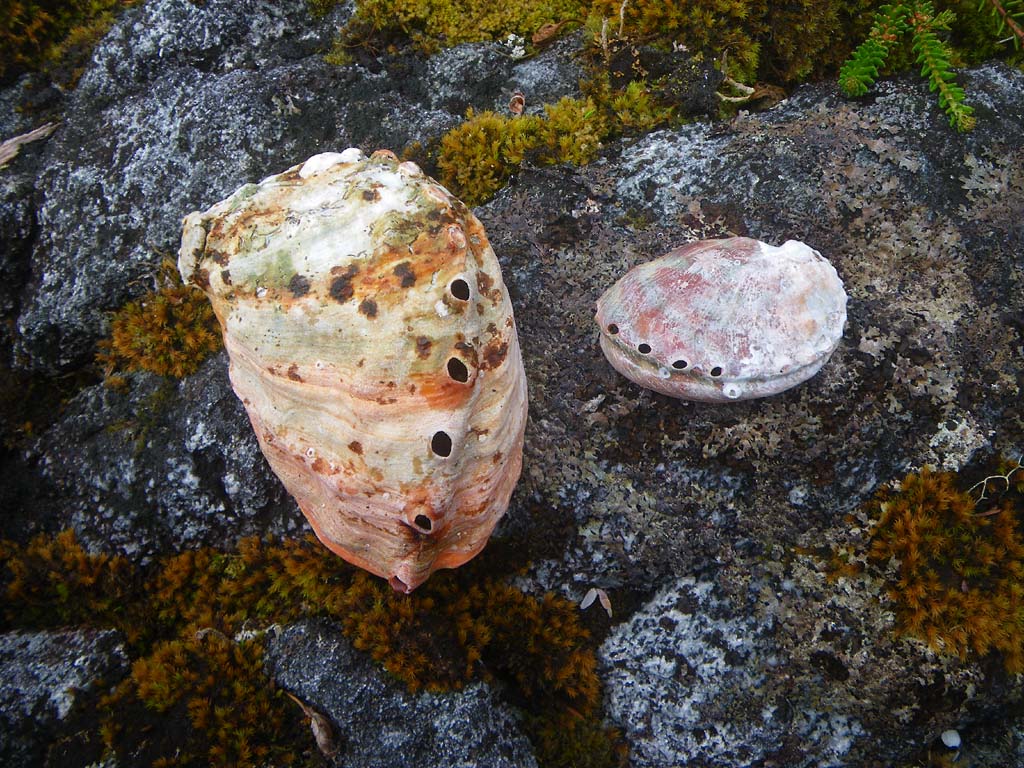
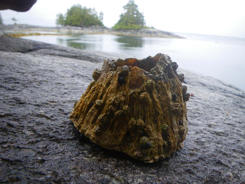
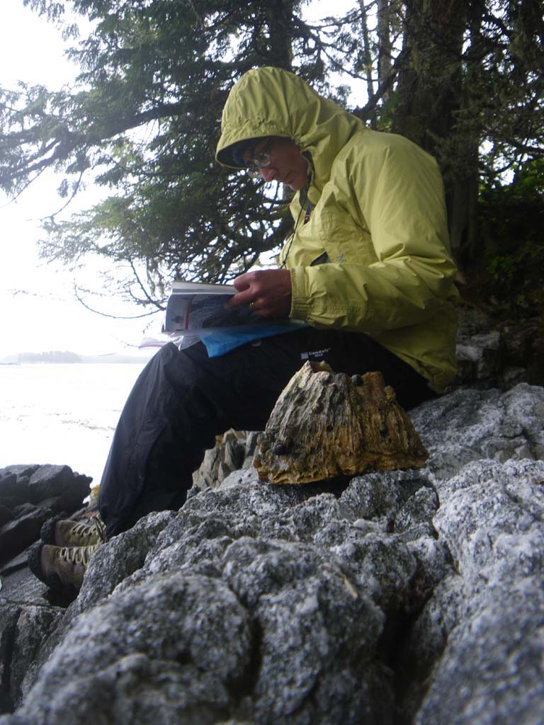
We had prepared shelters to hunker down and wait out the weather.We had built up a nice wood floor under our day use shelter, which helped us stay drier.We were in the perfect location in terms of terrain and wind direction. We hung out under the trees by a rock wall and then in the shelter.Things didn’t dry much at all, but we were very well sheltered from the wind which was roaring out in the strait.We watched the tides rise and fall, 20 feet or so.We saw a pod of whales moving North.We saw a few eagles, seals, and minks.We found giant barnacles and abalone shells.