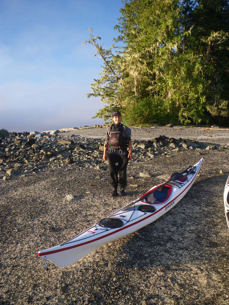
Day 10 –An island off Finlayson Peninsula on Campania to South Campania Island
Date: July 5
Distance: 15 nautical miles
Duration: 6 hours
Actual conditions: Tide and wind against
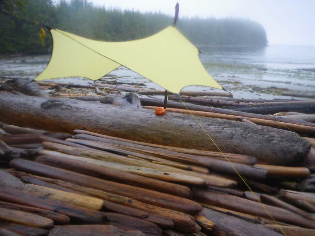
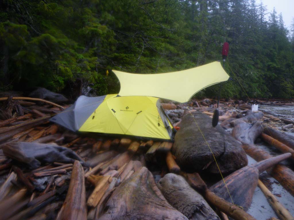
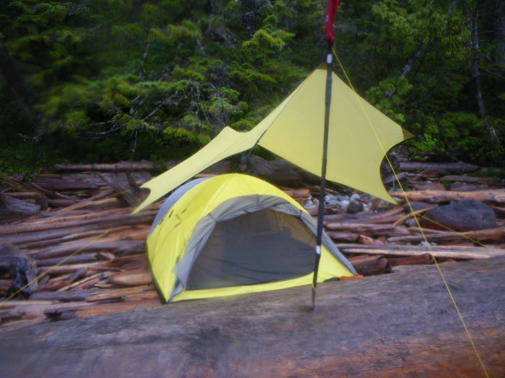
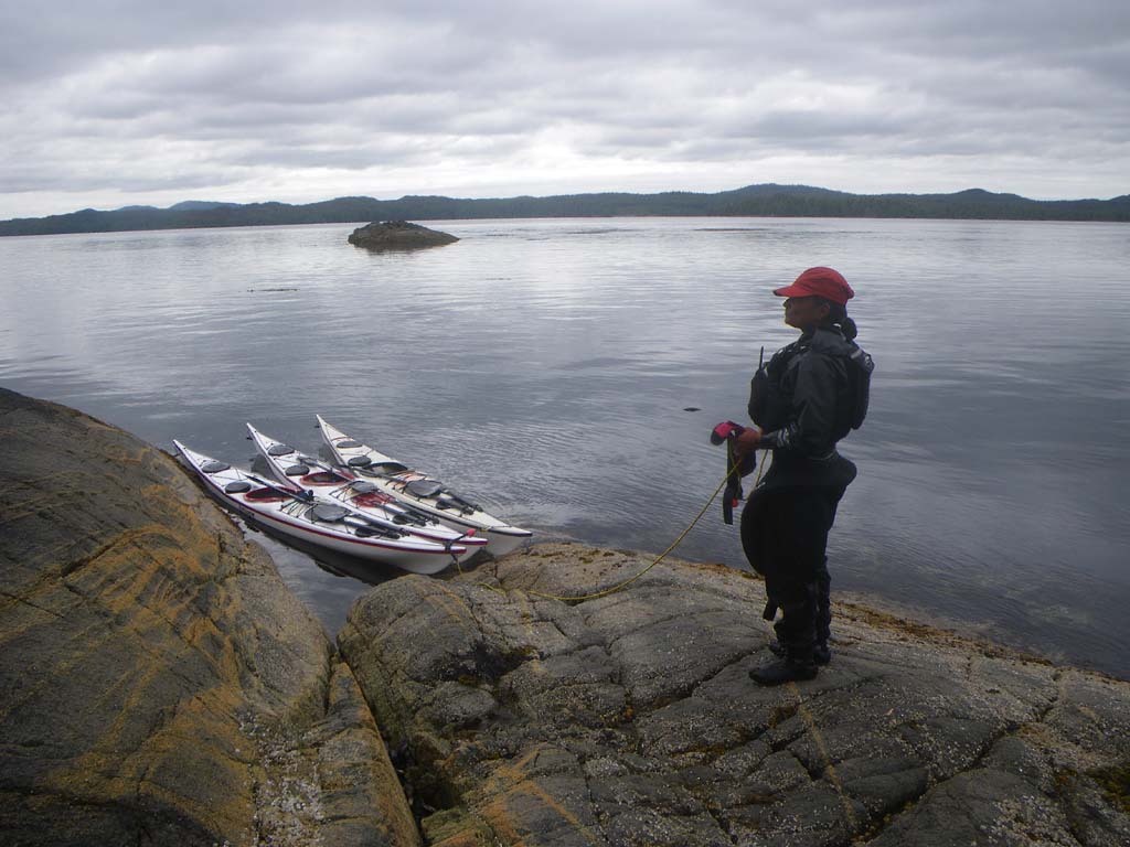
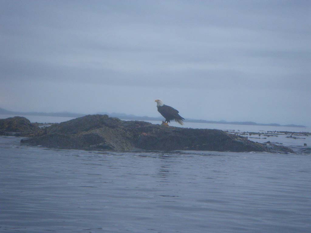
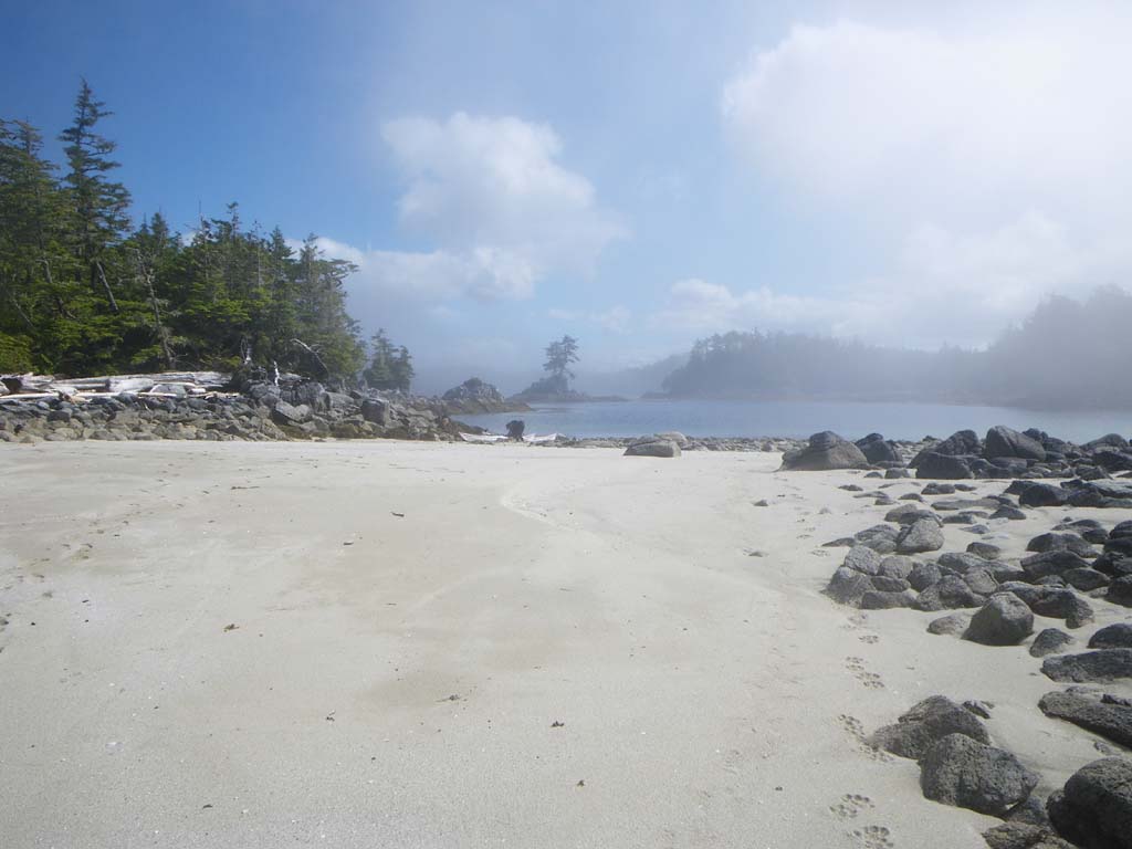
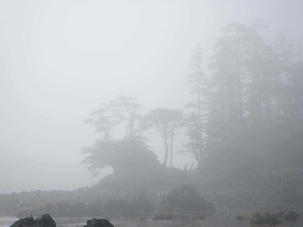
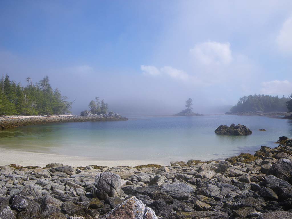
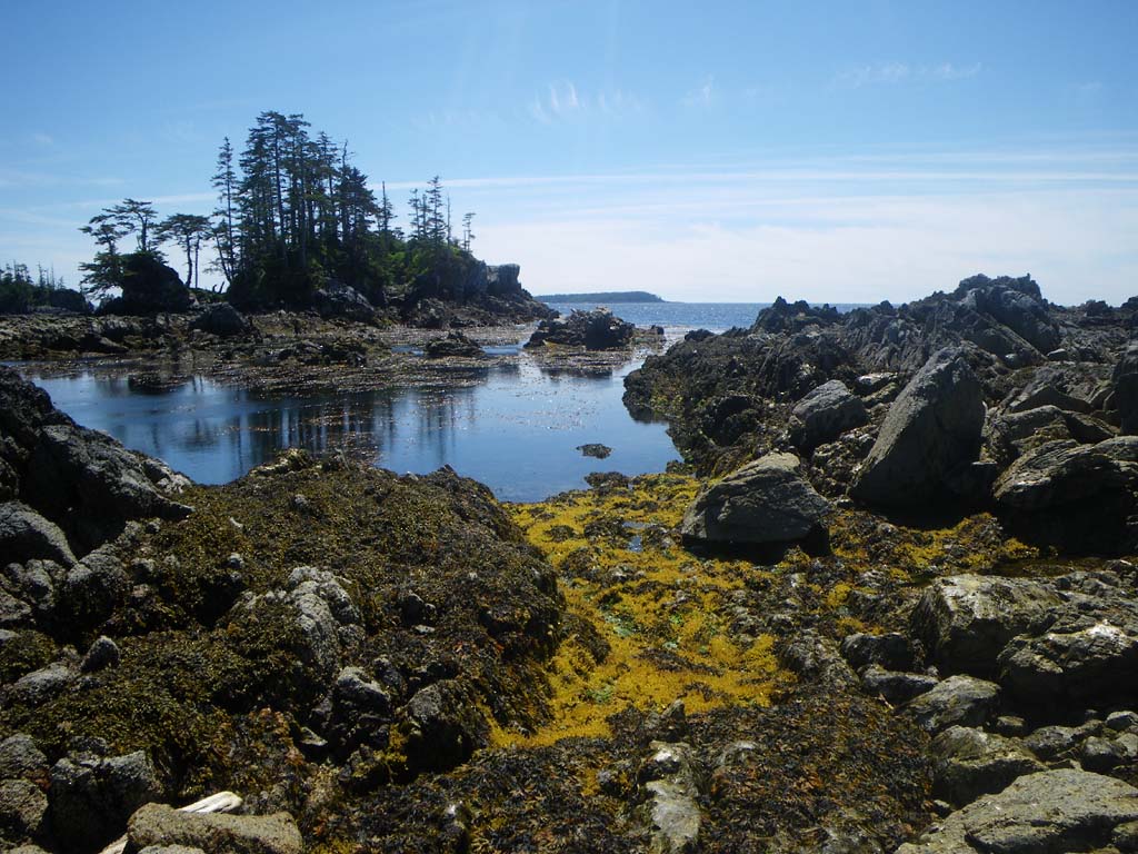
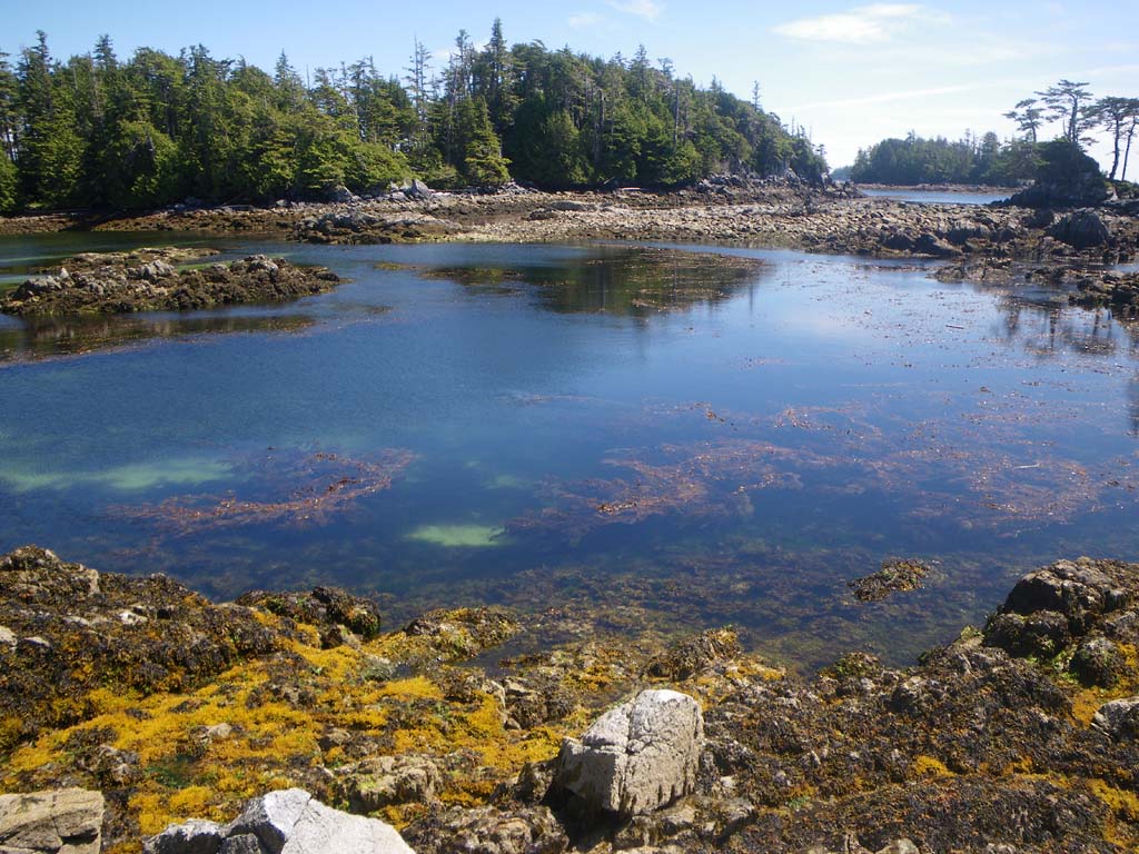
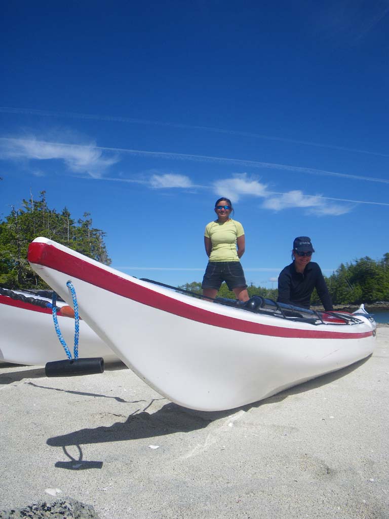
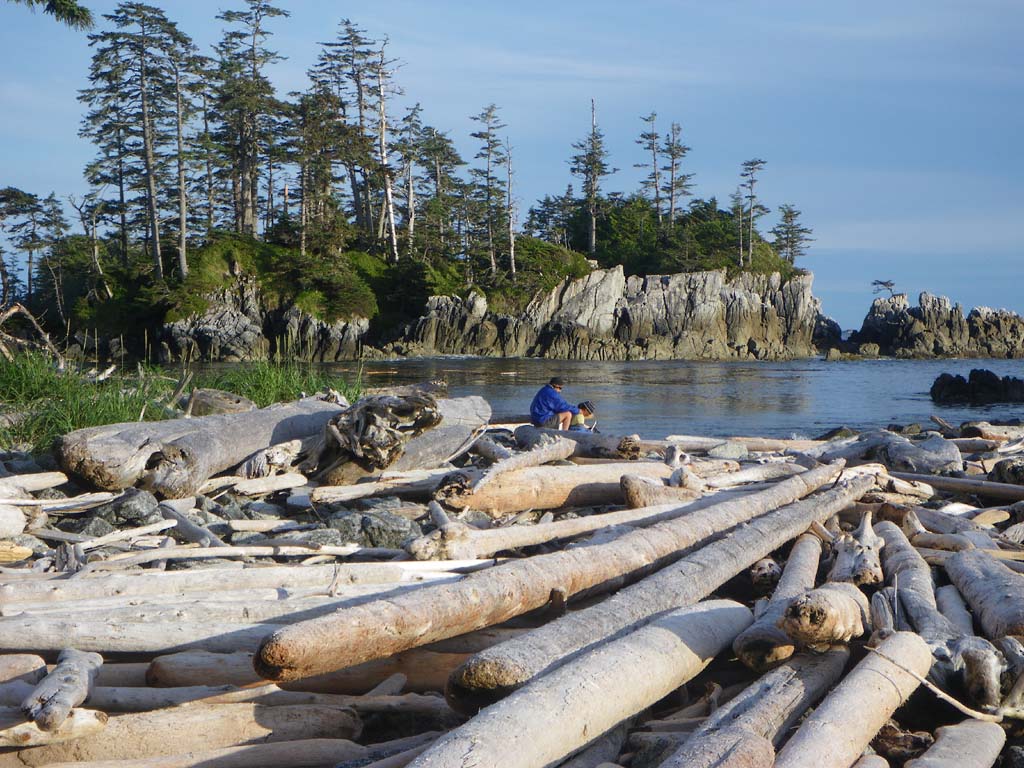
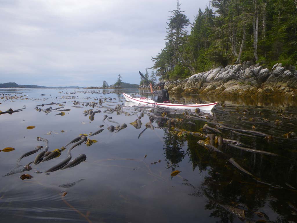
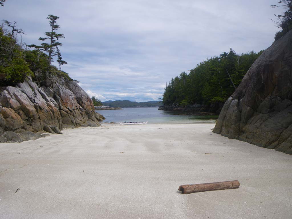
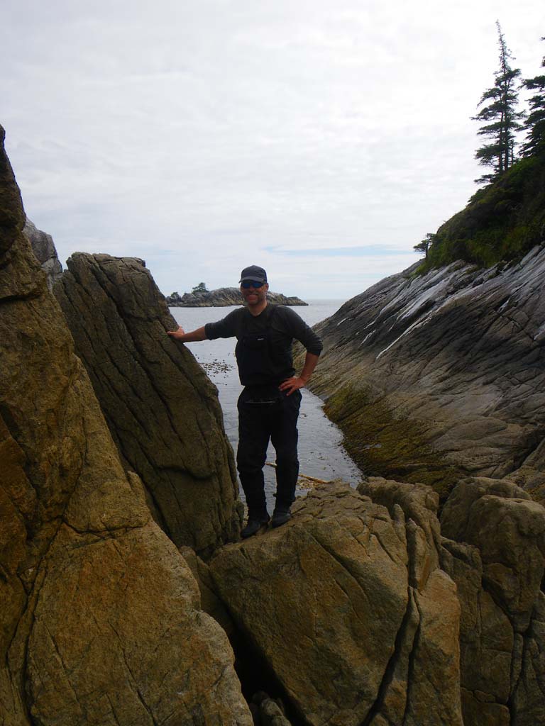
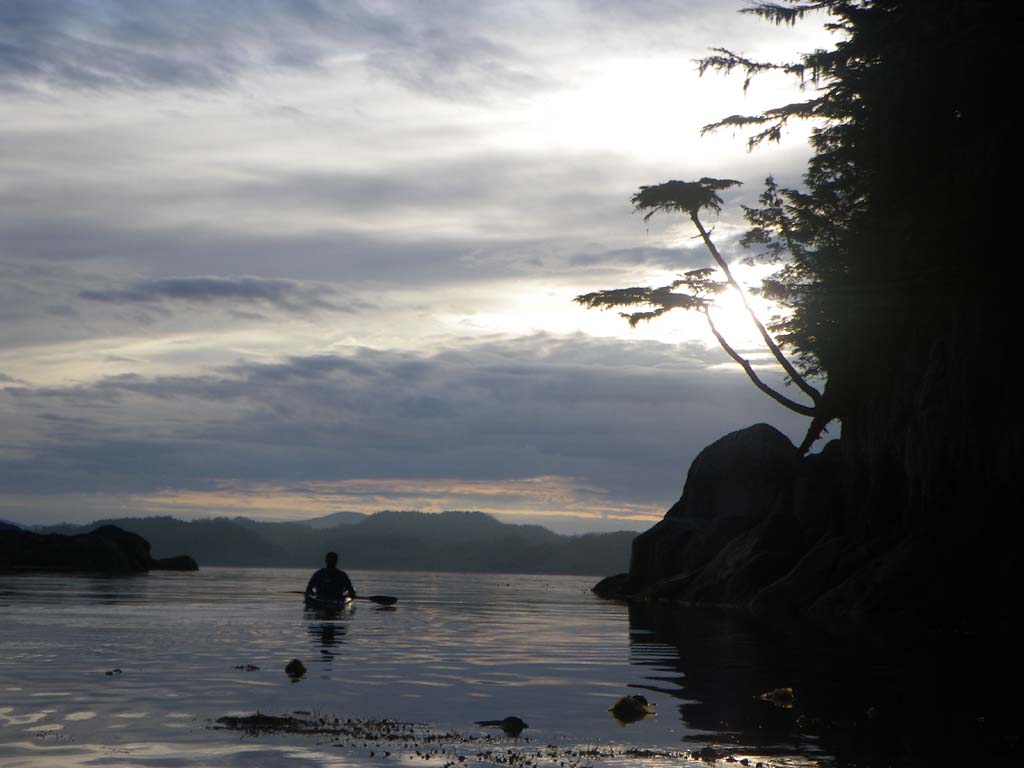
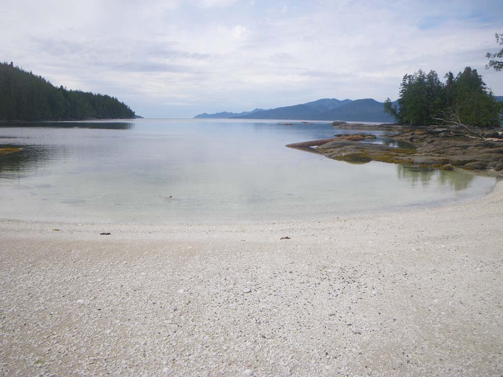
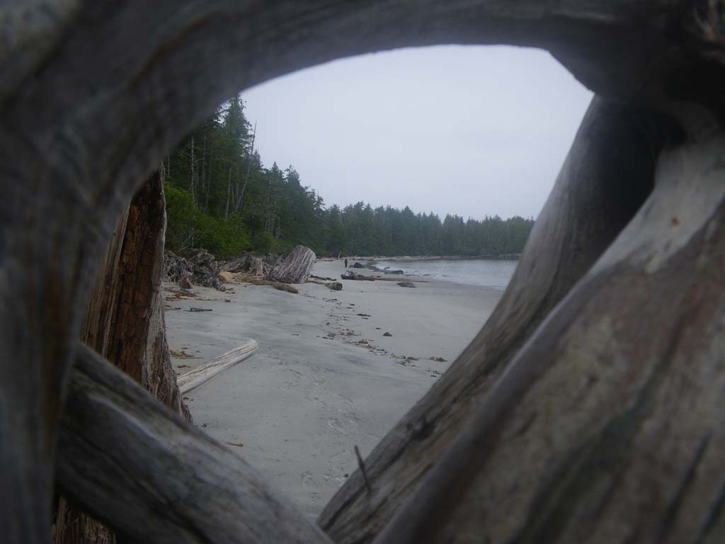
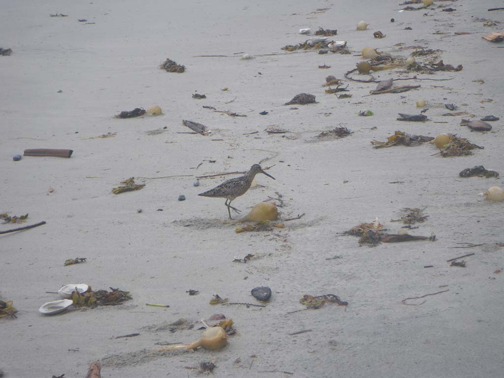
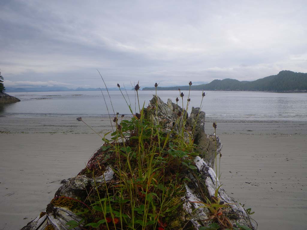
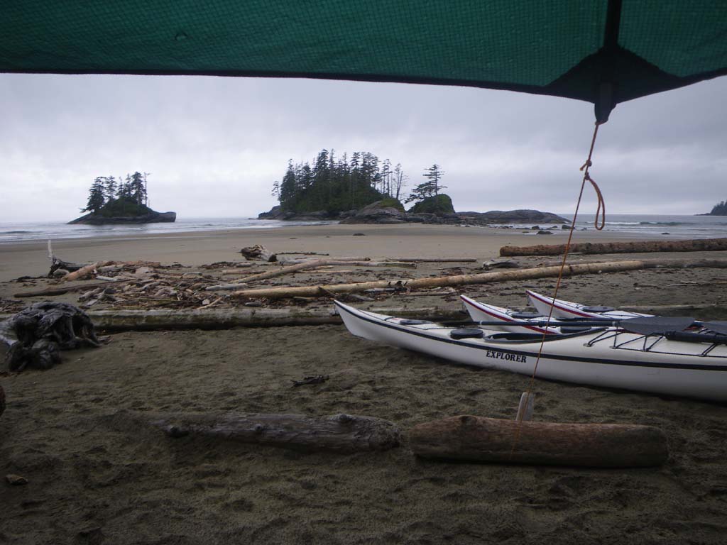
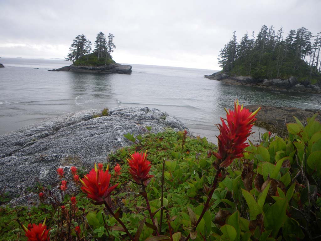
It was misty and foggy with visibility to about 2 miles.We went through boomers and reefs.We passed many beautiful beaches but the mountains stayed shrouded in clouds.We stopped to check for camps and to get water.Water was gushing out all along the forest from the recent stormy downpour. Streams were in full flood.We saw 6 bald eagles, kingfishers, kerlew, and seals.We built a driftwood log floor to pitch our tent on since water was flooding everywhere above the high tide line.
Day 11 – Campania Island to IR on Princess Royal Island
Date: July 6
Distance: 27 nautical miles
Duration: 9+ hours
Actual conditions:
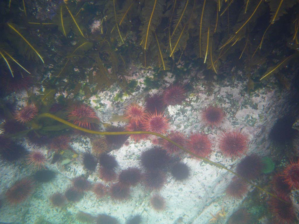
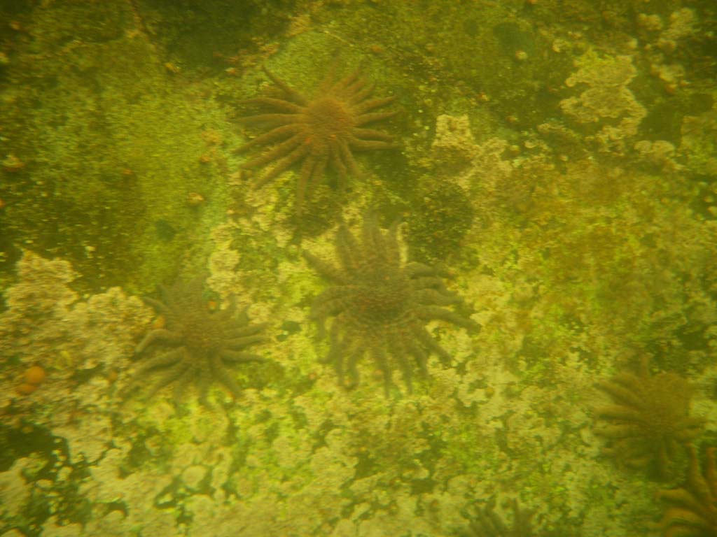
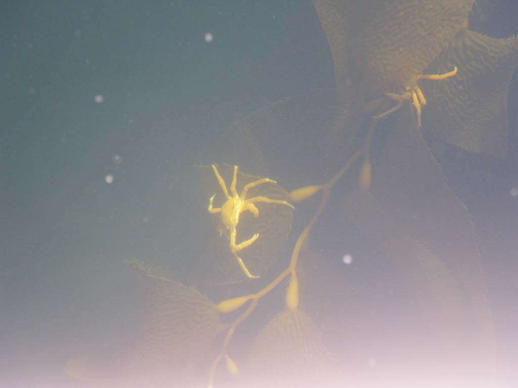
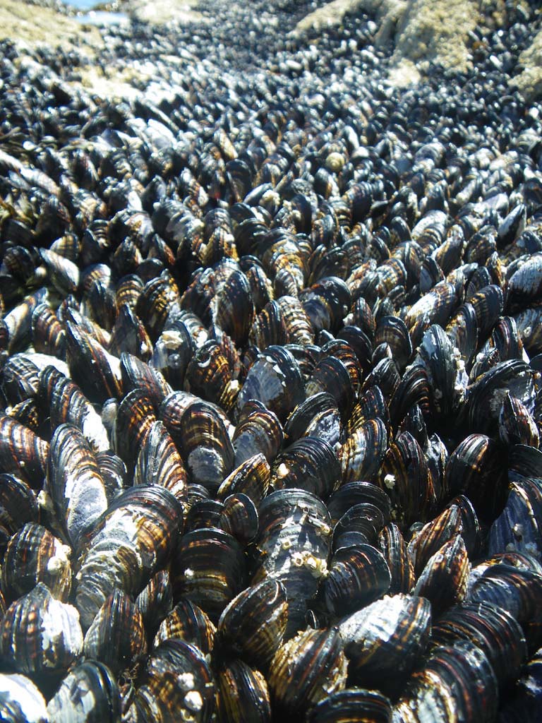
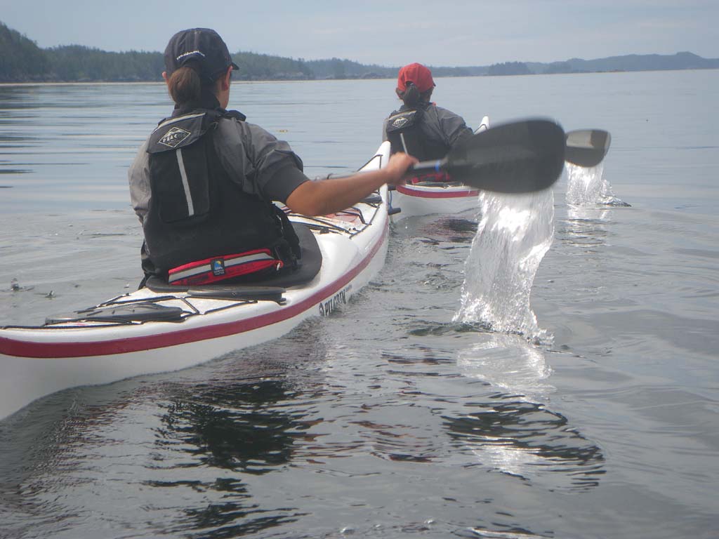
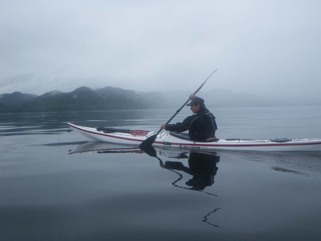
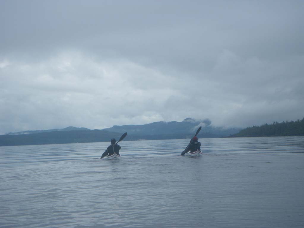
The paddle today was long and hard.We started off with a 9 mile crossing from Campania to Princess Royal Island.There was a strong current coming out of the inlet and a small tidal race forming. Once the crossing was over the coastline was beautiful with millions of spiny sea urchins and starfish along with some sea cucumbers. We paddled tight to the rocks eddy hopping for hours.We stopped at the first beach we saw.The sun came out.Yay!We laid everything out to dry.
Day 12 –IR on Princess Royal Island to Klemtu
Date: July 7
Distance: 30 nautical miles
Duration: 10 hours
Actual conditions:
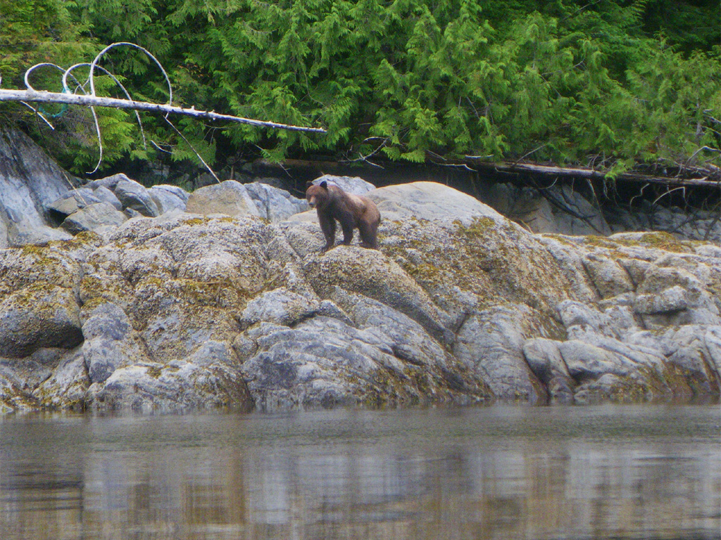
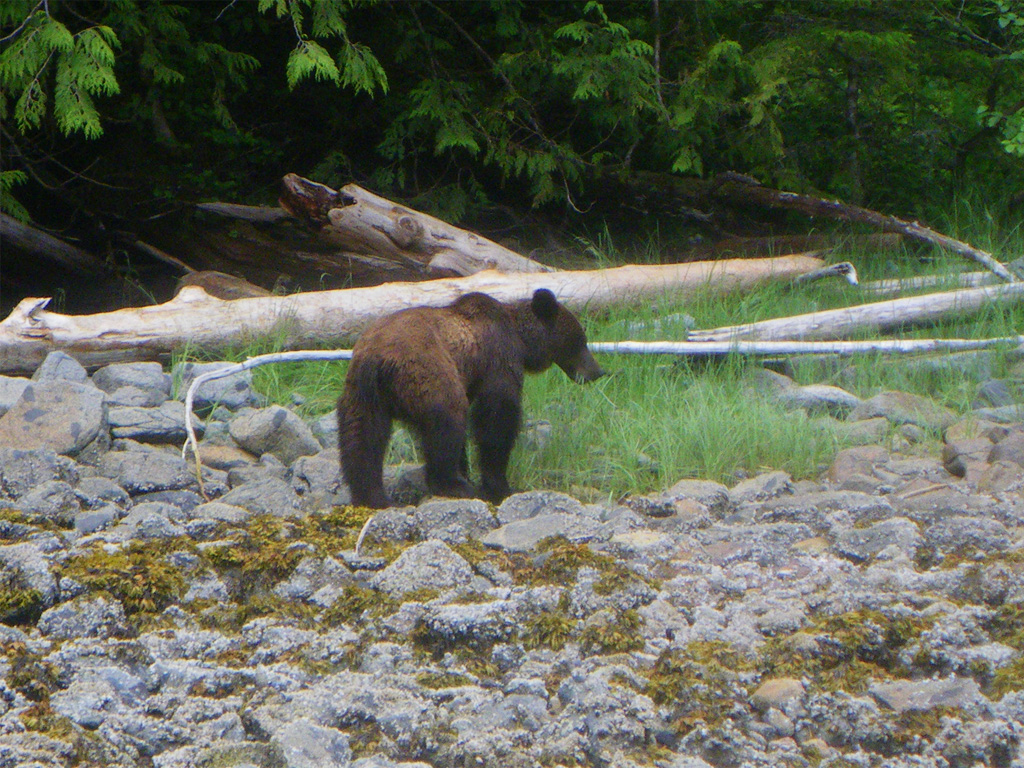
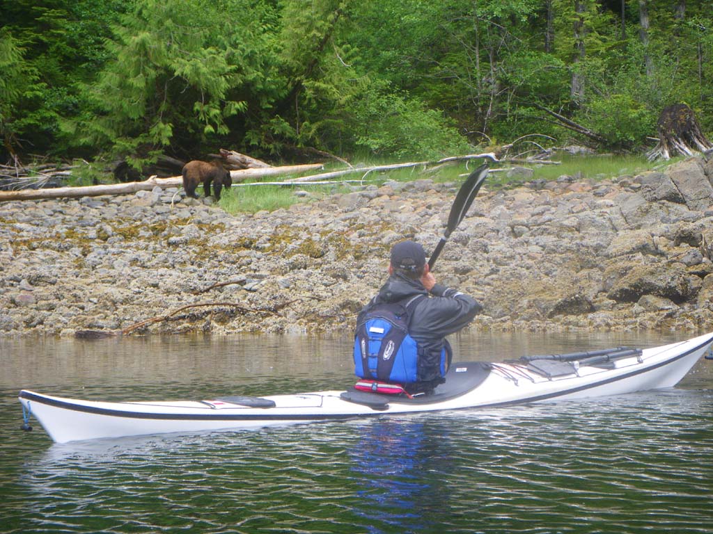
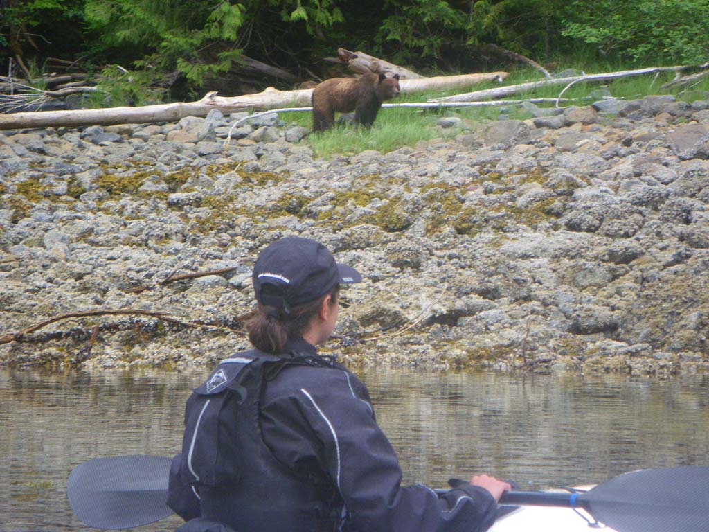
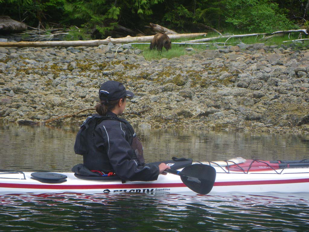
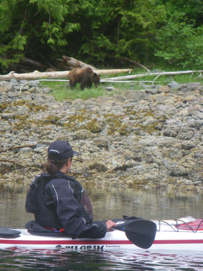
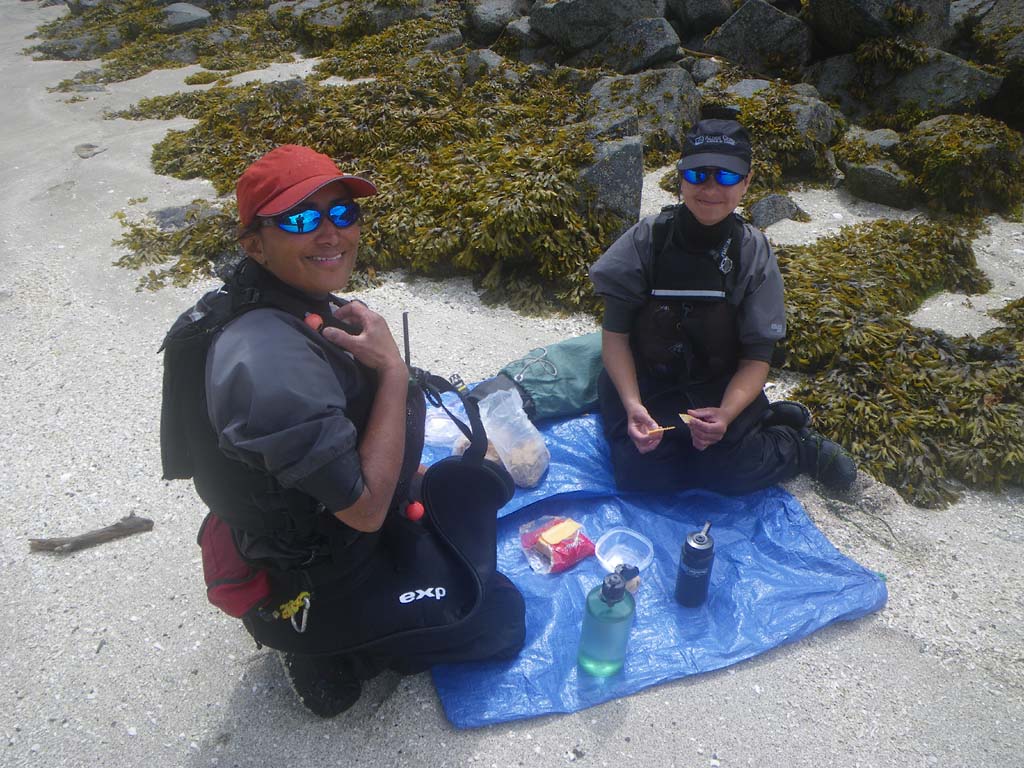
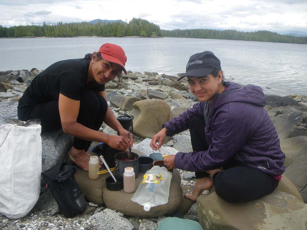
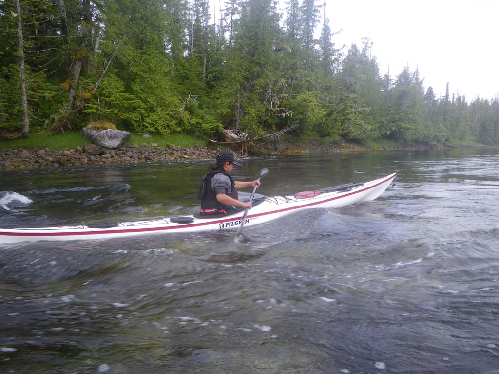
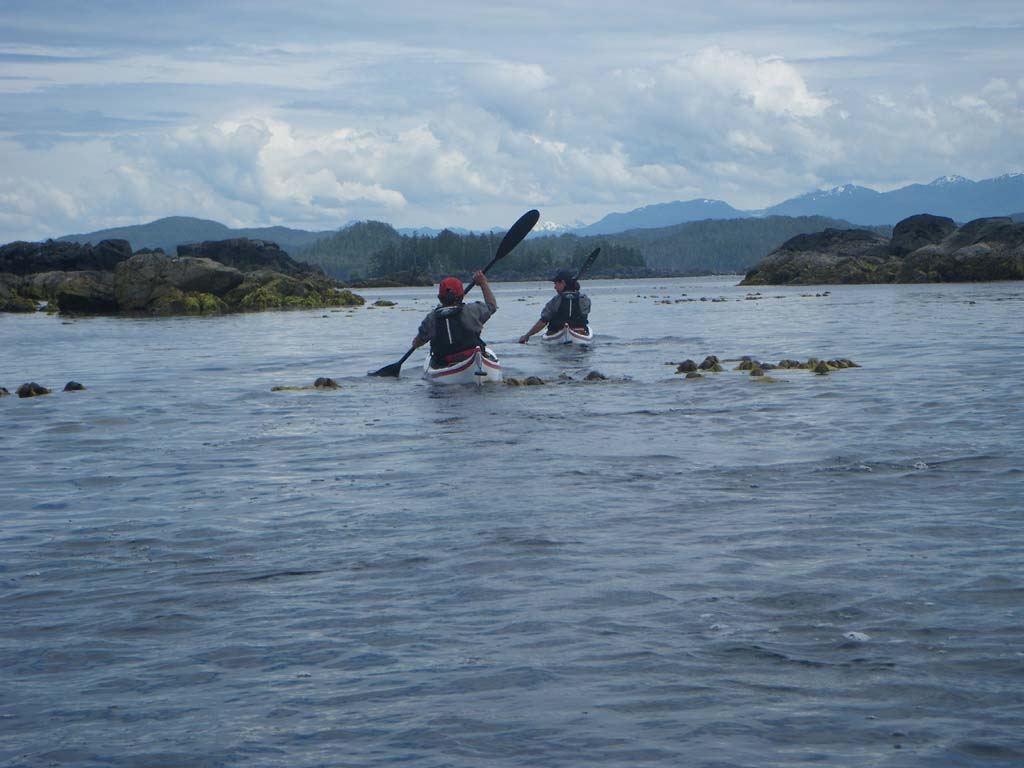
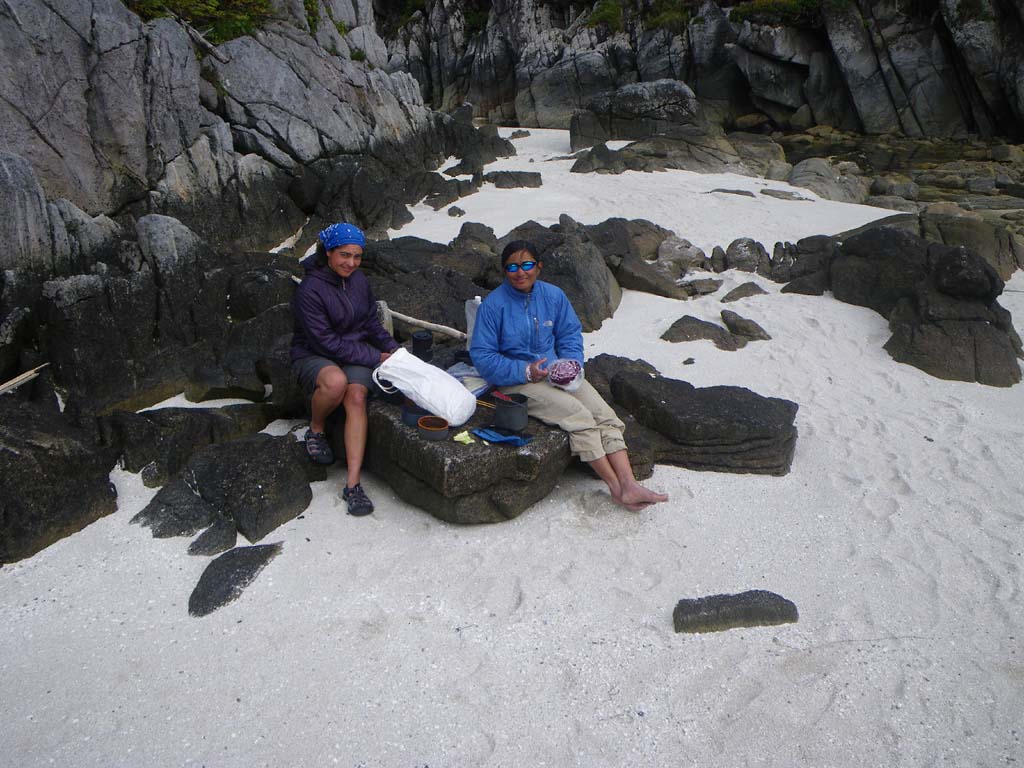
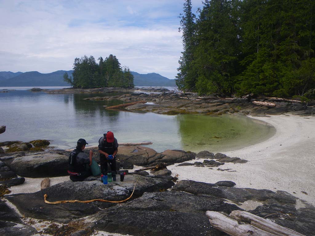
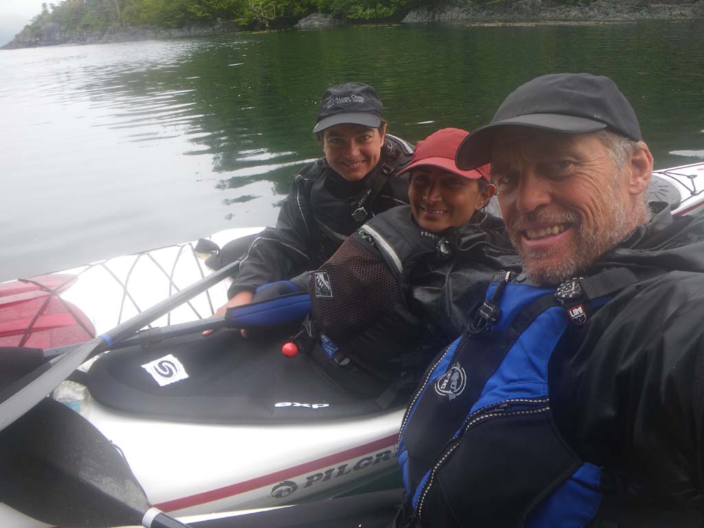
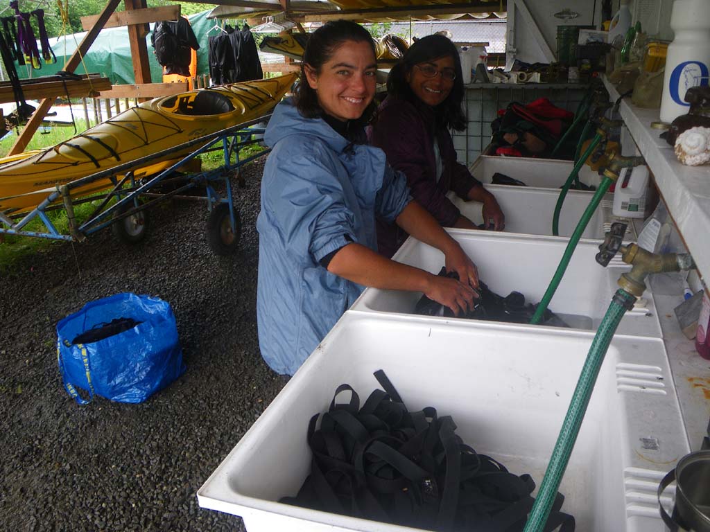
We left camp and saw an eagle fly into the water near some kelp.It appeared to be stuck as it flapped about.It had a fish in its talons and swam with it, struggling to reach a rocky outcropping.It shook its feathers and flew low to a bush and later up to a nest where we heard a baby eagle.We saw kayaks camped at Miln Island, but no people.At the entrance of Meyers passage we stopped for lunch. Just as we left, a boat came over to chat.They were a fisheries unit doing a study and diving.They were from Klemtu.These were the first people we had encountered since Porcher Island. Earnie jokingly asked if we had permits for Meyers passage.We saw lots of sea urchins, sea stars and sea cucumbers again.We saw a grizzly quite close and were able to watch it a bit.We didn’t find the petroglyphs that we had read about earlier.We had current with us for part of the passage and when we turned the corner it was against us, and strong.It then became quite tough going as we eddy hopped when we could. It was like going up a river.Quite a bit of the wall shoreline had no eddies.We got into Klemtu and were able to stay at a place called the Bunkhouse where we spent 5 ½ hours sorting, cleaning, drying and repacking gear.We had showers and stayed the night.
Day 13 – Klemtu to South Islet off of Cicilia Island
Date: July 8
Distance: 27 nautical miles
Duration: 7 1/2 hours
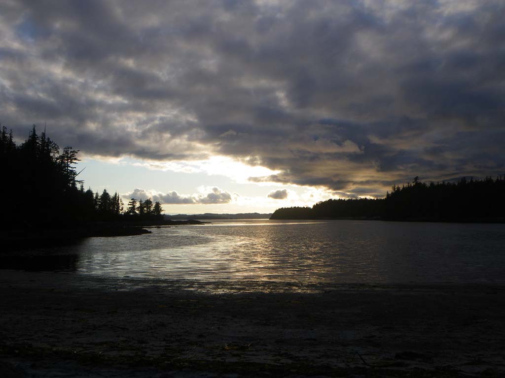
Actual conditions: We had wind and tide with us for the first part of the day but not the last 4 miles.We also saw sunshine!
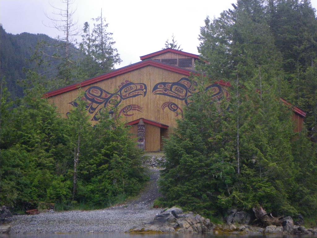
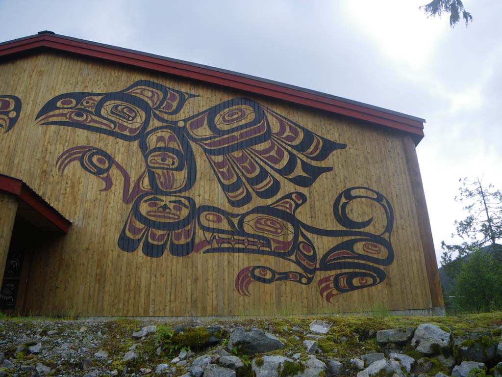
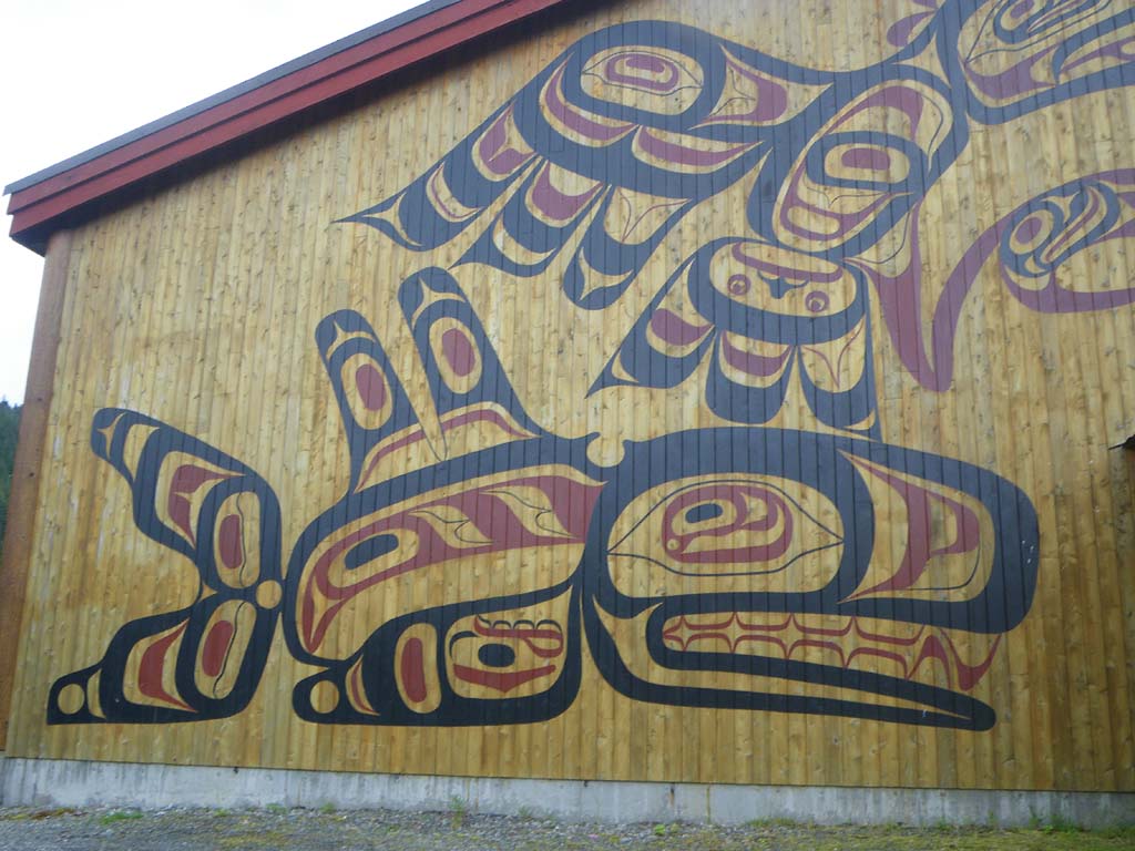
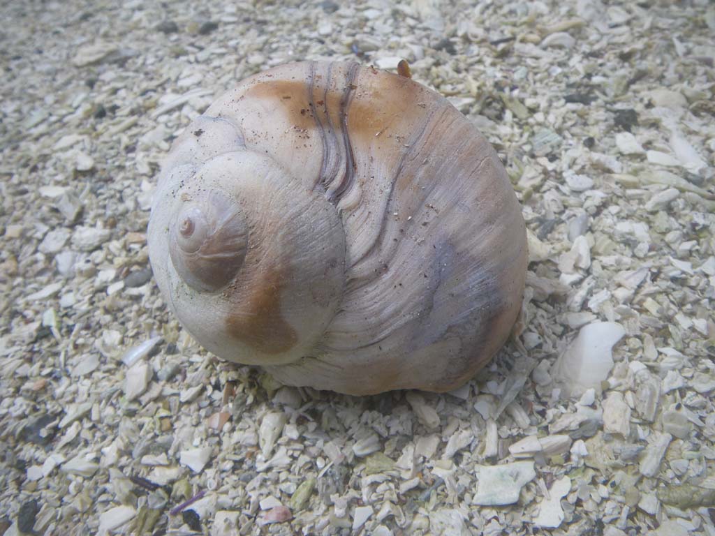
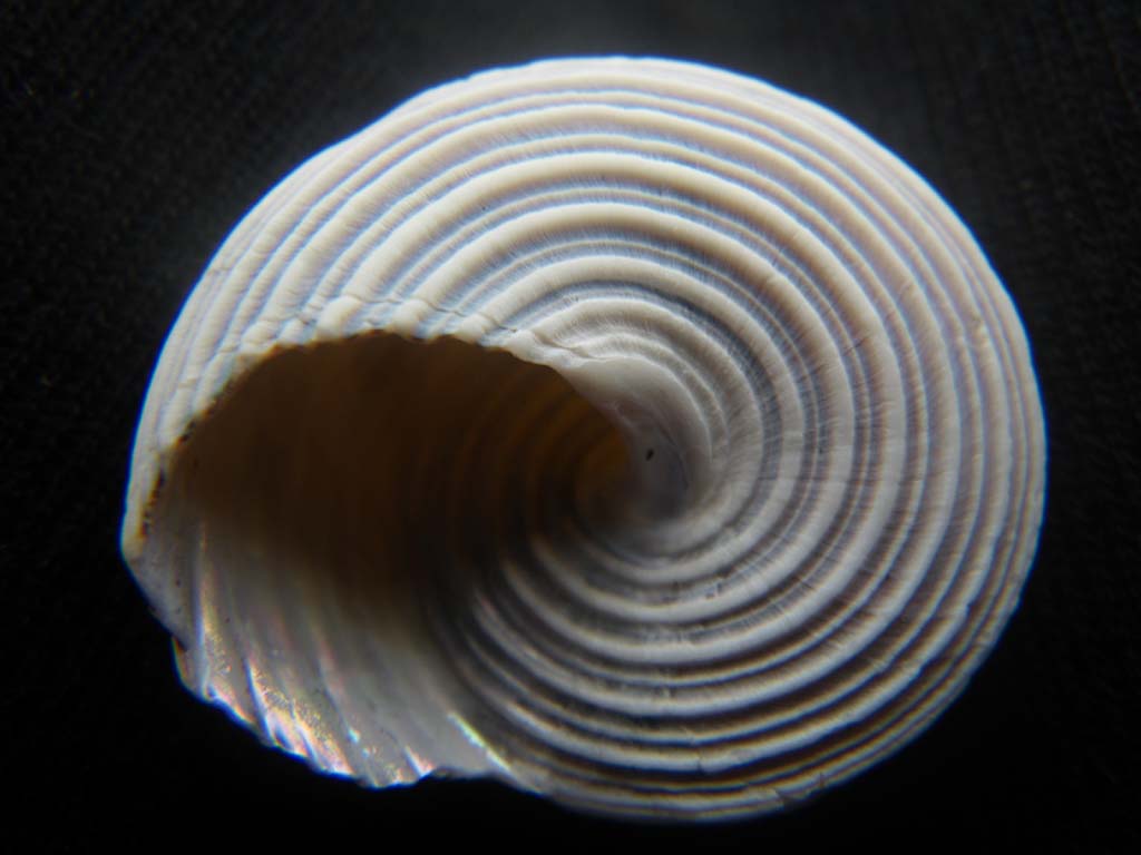
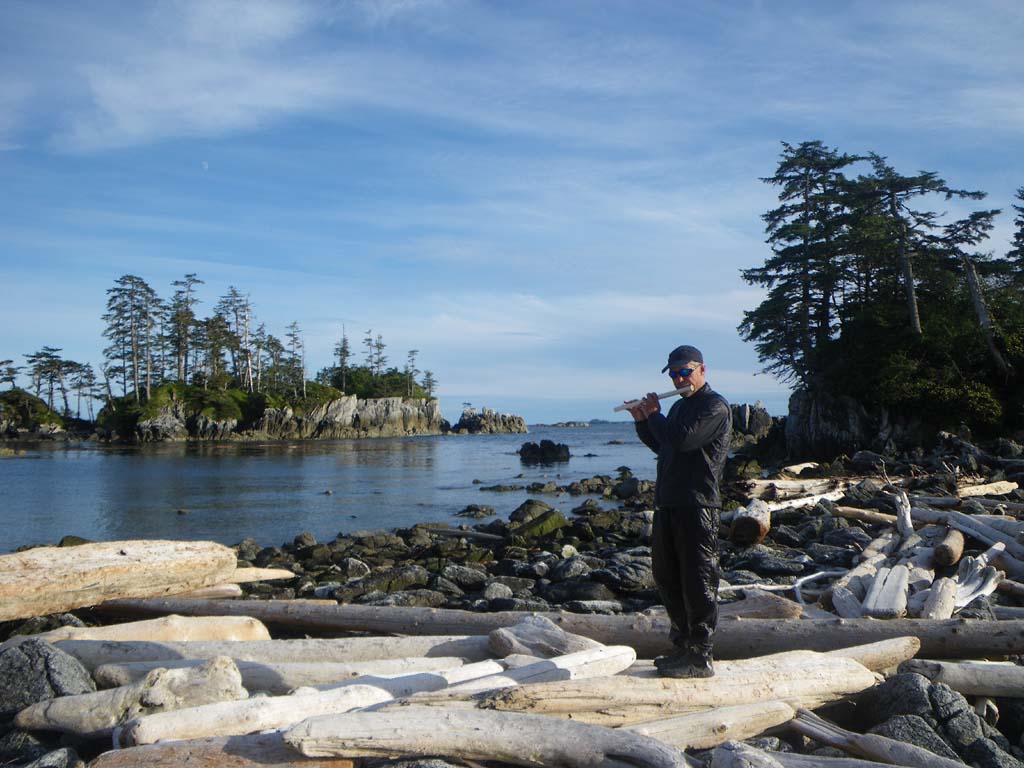
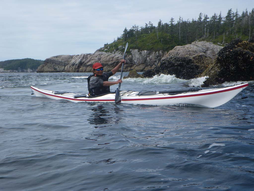
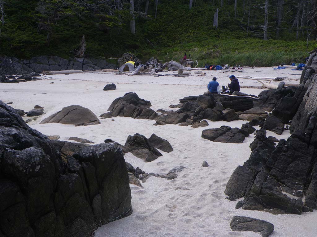
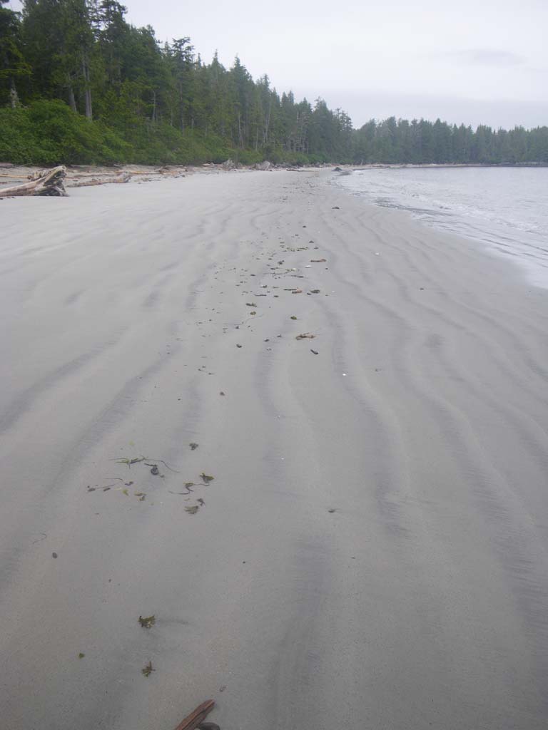
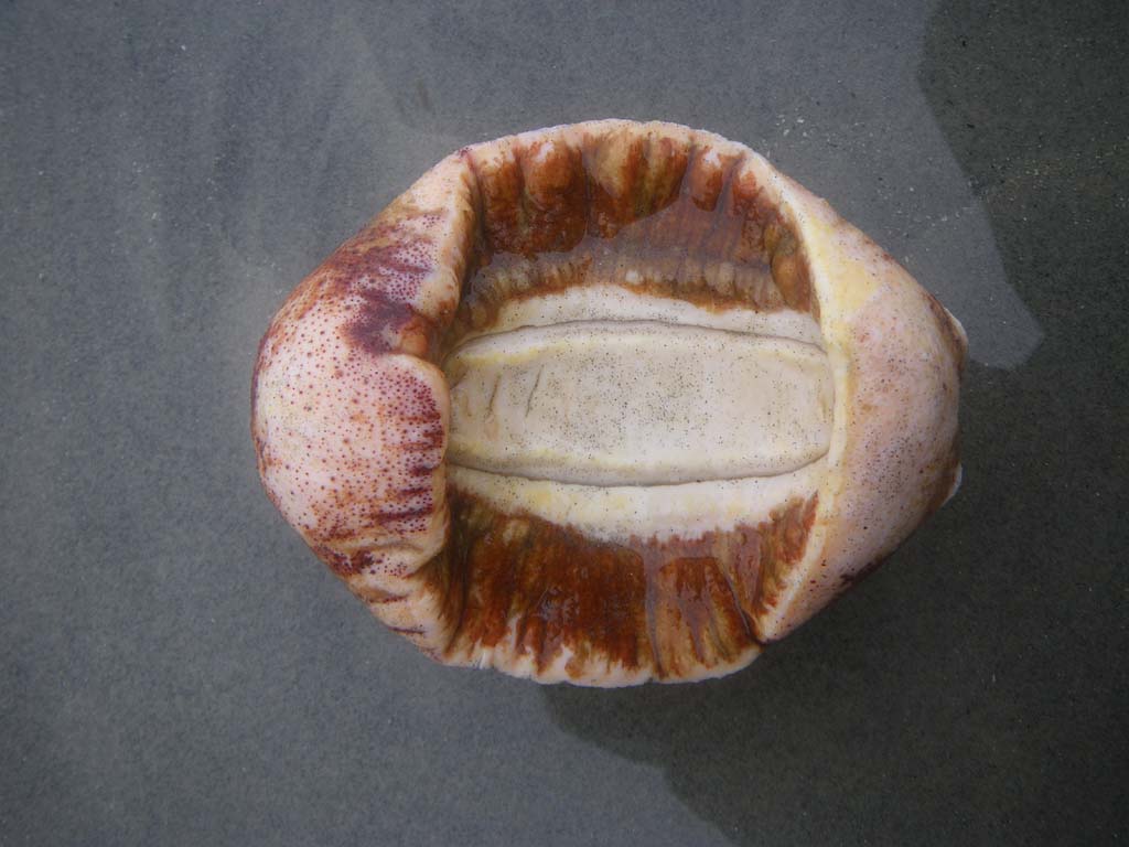
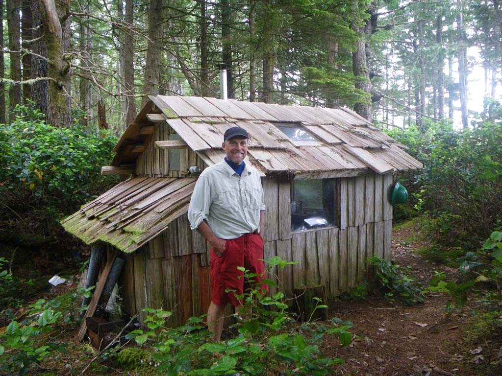
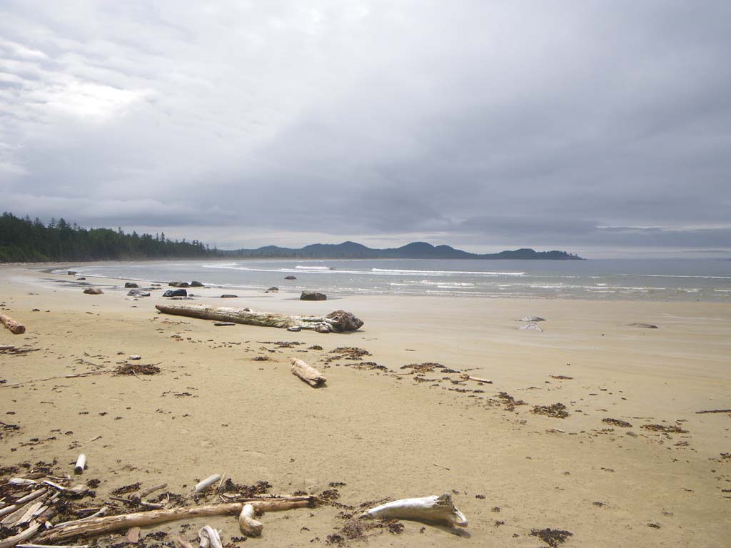
We paddled in our shorty drytops.We stopped on the south side of Klemtu on the way out to look at the longhouse paintings.There were lots of porpoises in Finlayson Channel and we had great visibility. We enjoyed the views of mountains and we had some texture with wind waves and a bit of a tide race as we went across Milbanke Sound.There was a lot of boat and plane traffic – at least more than we were used to.We stopped for lunch on the East side of Dallas.It had a lovely white sand beach.We saw moon snail egg casing rings.We had our first encounter with other kayakers.They gave us a tip about a good camp at an islet.They were heading to Klemtu to catch a ferry out.We stopped at cockle bay and checked out the Heiltsuk cabin there.It had a good design for a big group of people.We paddled on to the Roar Islets. Wolves were howling as we drifted off to sleep.
Day 14 – Roar Islet to Islet 48
Date: July 9
Distance: 12 nautical miles
Duration:hours
Actual conditions:
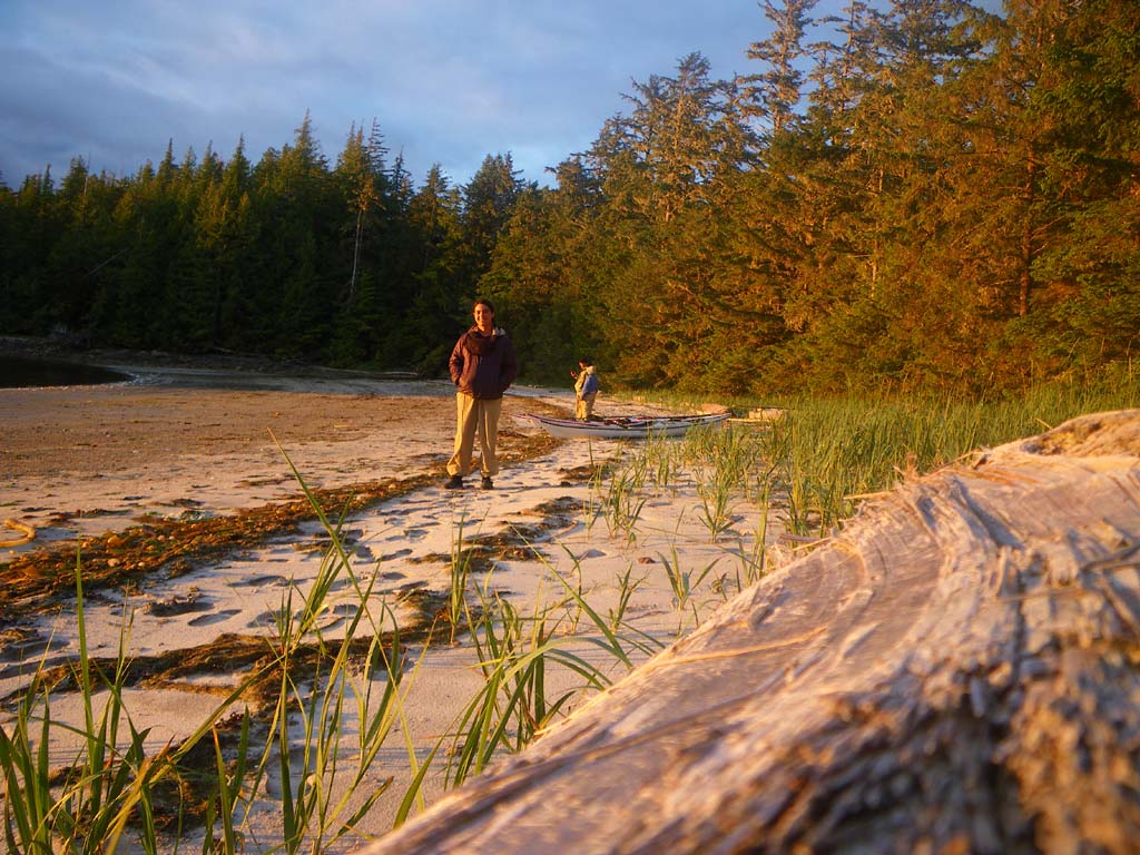
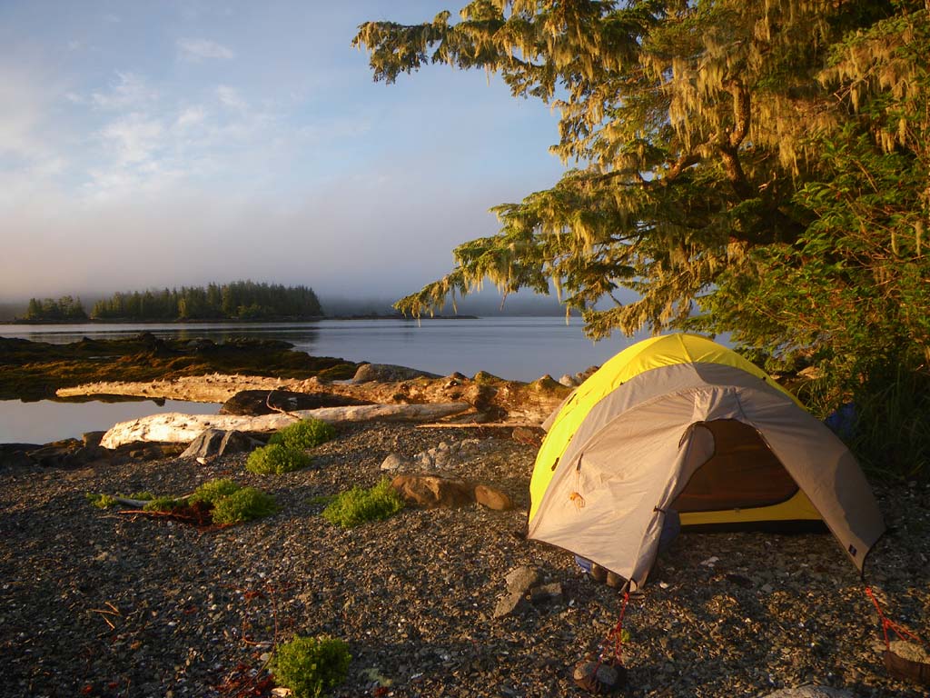
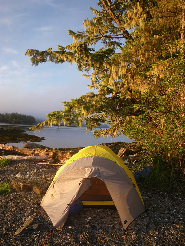
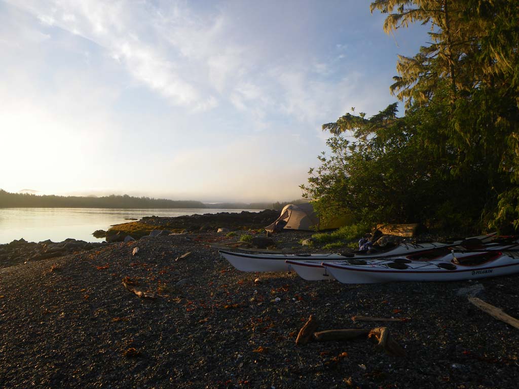
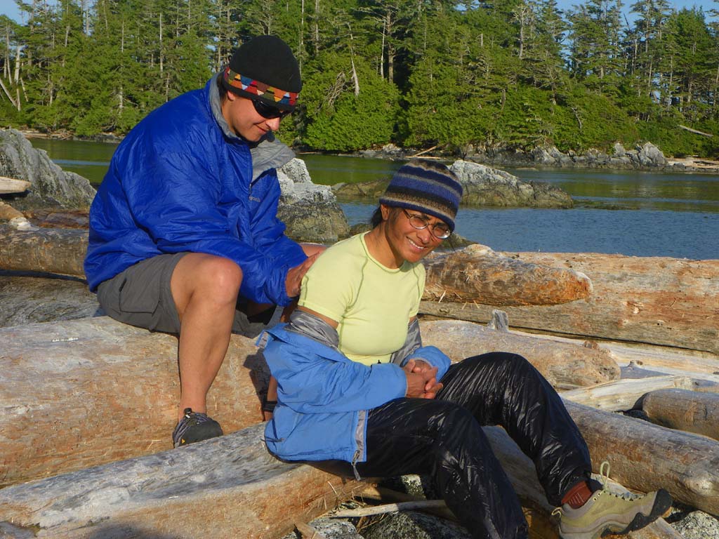
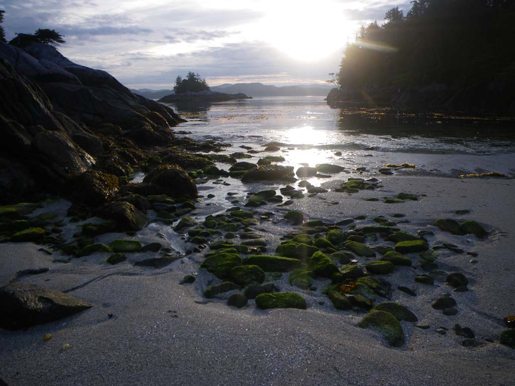
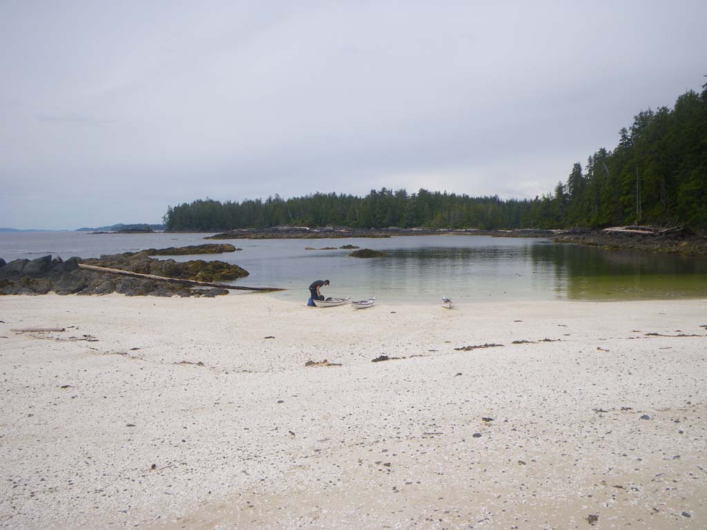
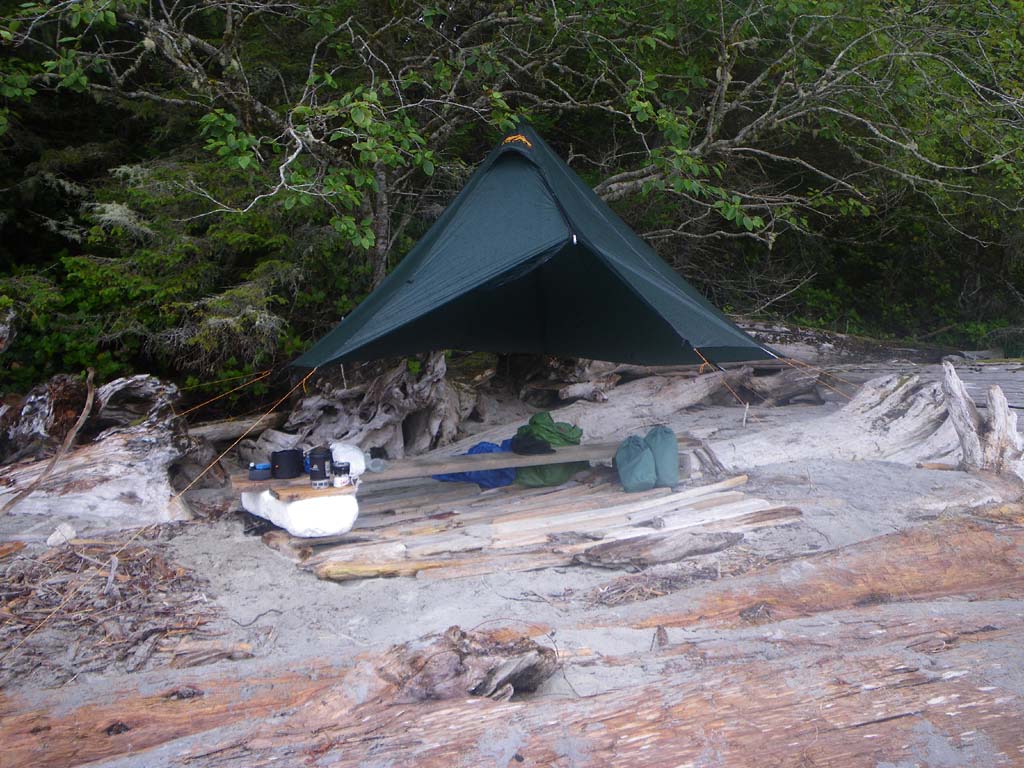
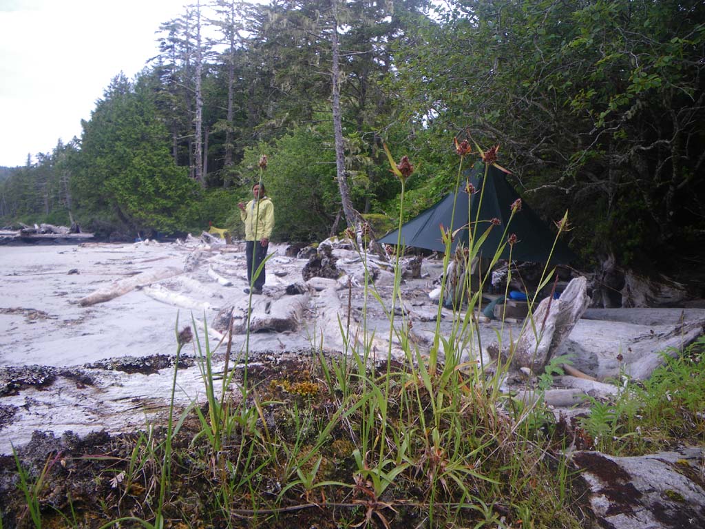
We woke up to a nice sunrise and the howling of wolves.It sounded like quite a lot of them and quite close. We left our Islet before high tide.We crossed Seaforth Channel and stopped at the cabin at the entrance to Gale Passage just to check it out.We then went through Gale Passage around high slack.The tidal rapids were still flowing but were easy to negotiate with a section of strong currents and some small waves going into the central lagoon area. We played in the eddies and surfed a couple of small waves before going into the lagoon.In the lagoon it was totally silent with no wind or waves. The reflections on the water were stunning.We didn’t hear any animal or bird sounds either.We paddled over giant kelp and then paddled against the current coming out – it was still flowing in gently to fill the central lagoon, but we could paddle up the current without problems. I think we timed it about perfectly.We saw several sea otters just before camp and a baby as well.It swam behind us staying on the surface of the water and it cried out once.We had fog in the morning.This is the first day in a long while that we actually had proper sunshine when we got to camp.We pulled up on a little beach that connects two little islands at the south end of Stryker, referred to as Islet 48 in the Wild Coast book.There are beautifully rocky islands with sculpted trees on top.This may be one of Kayaker Bill’s camps.We saw 13 bald eagles today.There were several very vocal ravens at camp.At high tide the two islands are separated by water.We pitched our tent on one and tied our boats and hung our food on the other, because it was easier that way and the high was in the middle of the night.
Day 15 –Islet 48 to the Serpent Group
Date: July 10
Distance: 25 nautical miles
Duration:7 hours with one land stop for two minutes
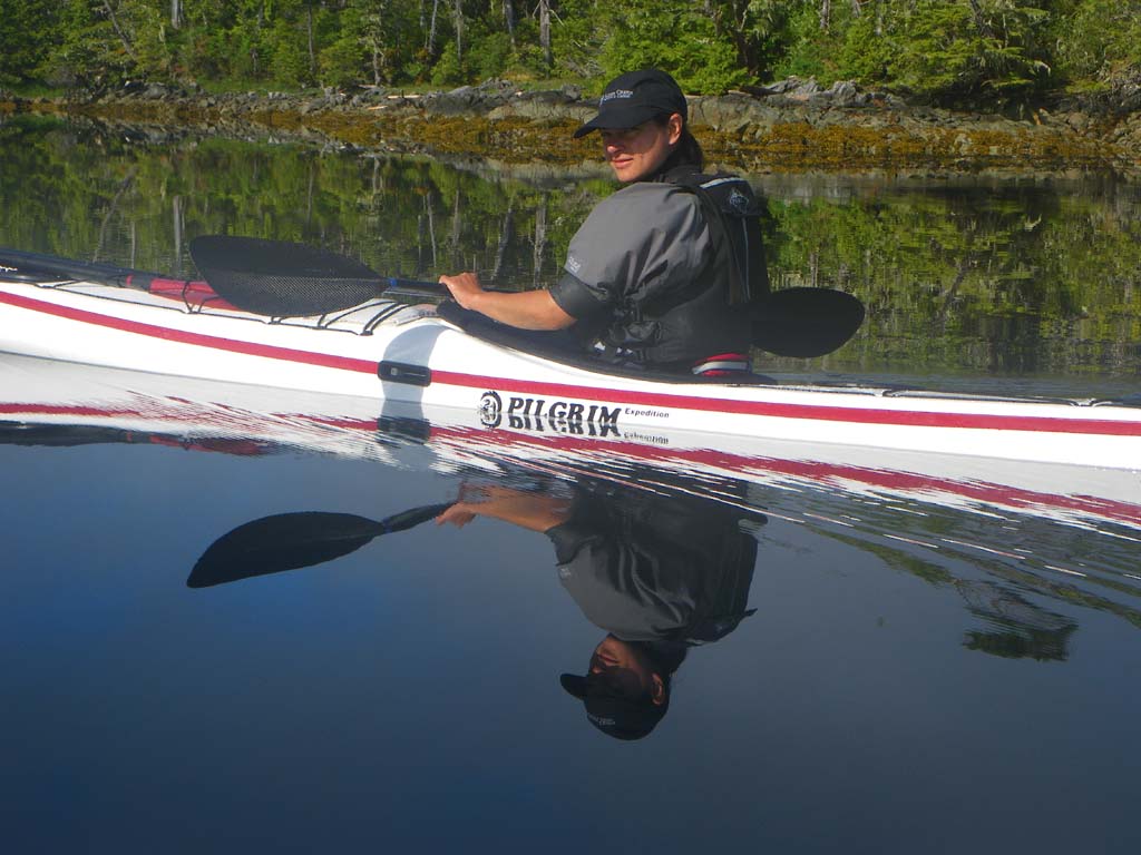
Actual conditions: Good visibility, no wind, flat, mirror calm with no swell
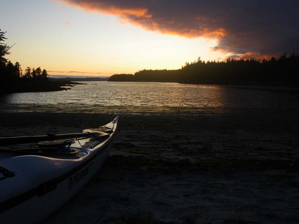
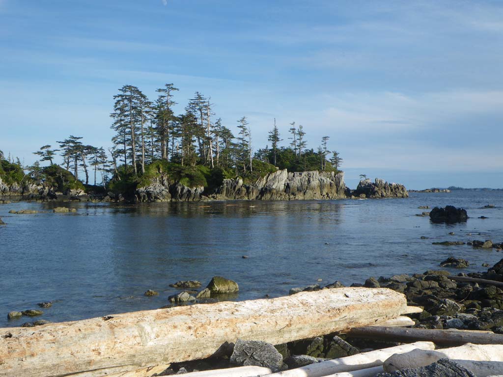
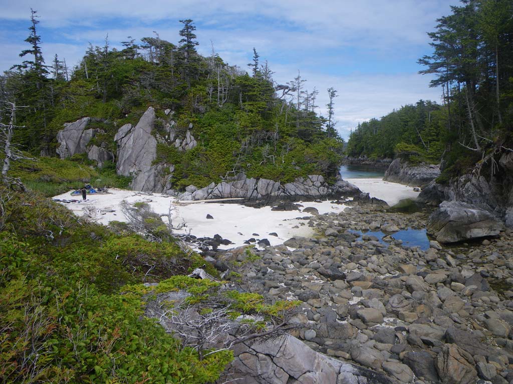
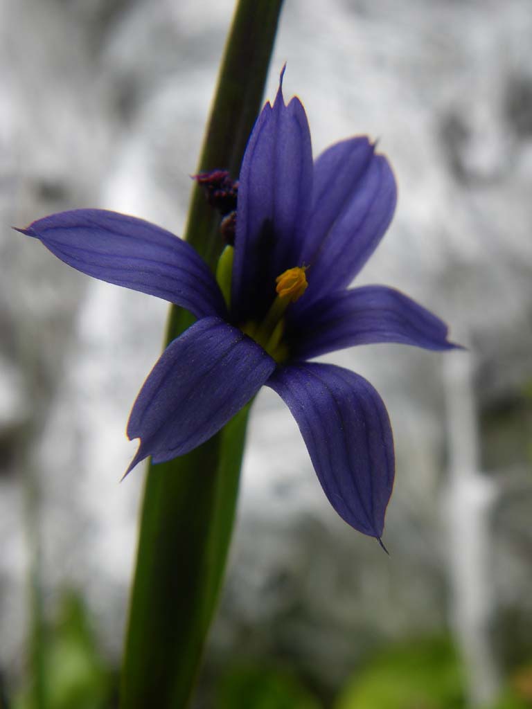
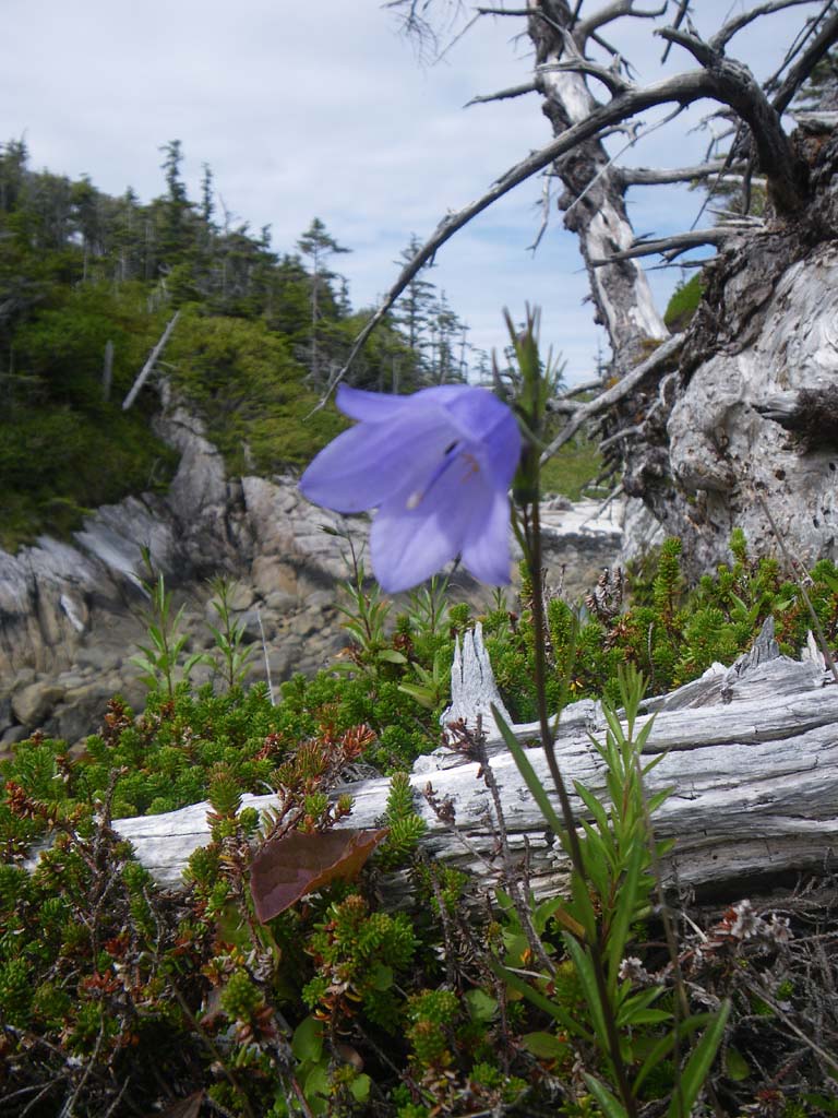
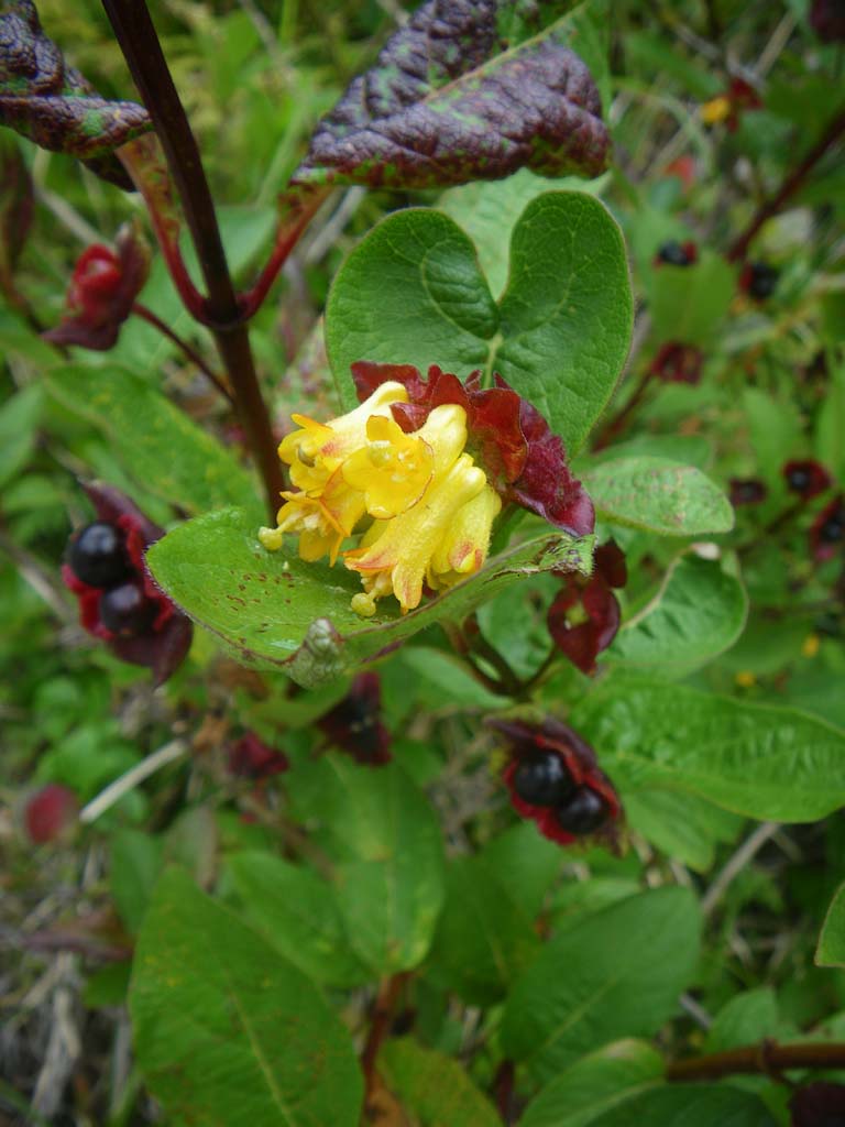
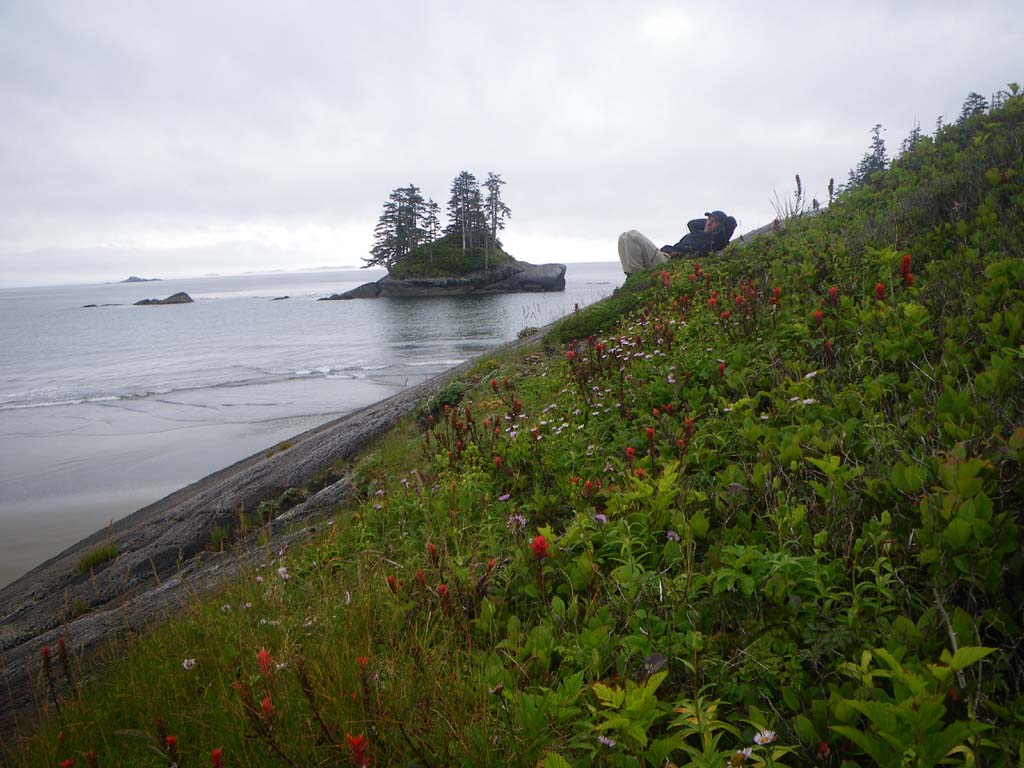
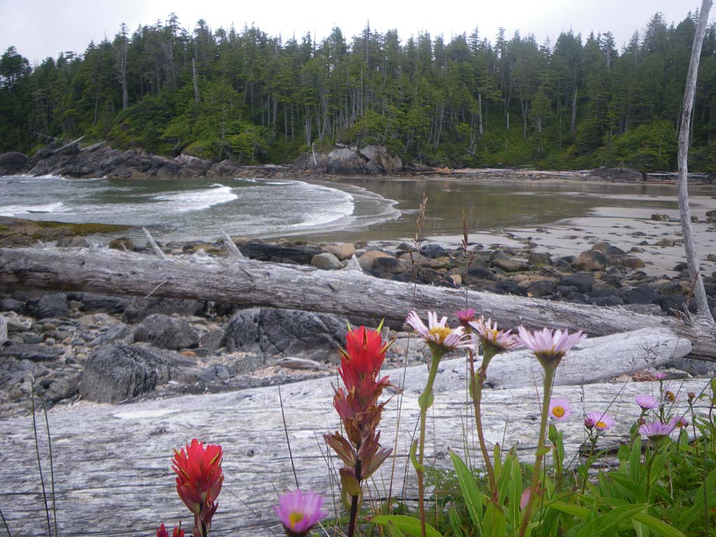
At one point we couldn’t even see the horizon line.The area we paddled through today is very healthy for sea otters.They are abundant.You could hear them pounding shells on rocks with a clack, clack, clack.We had beautiful early morning light peaking through.We ended up going inside of Spider Island because of a little swell and clapotis that was making Jenny feel sick.We paddled to Triquetand saw a raft of 43+ sea otters.There were 2 kayaks on the beach at Triquet and we didn’t see the kayakers. There were boats moored off the other bays, so we pushed on to the Serpent Island Group.These islands were steep granite monoliths rising from the ocean like fortresses being pounded by the waves.Rocks along the shore were covered with barnacles and muscles.We paddled to a white sandy beach and actually found hidden sand above high tide.It was around a corner, protected midway through a passage to the other side.There are pretty wildflowers here; columbine, Indian paintbrush, bluebells and purple flowers as well.Hummingbirds buzzed to the columbine. Its a magical spot.
Day 16 – The Serpent Group to Fury Island
Date: July 11
Distance: 32 nautical miles
Duration:8 1/2 hours with one land stop for lunch
Actual conditions: Good visibility, calm conditions with wind picking up in the evening
We entered Hakai passage and didn’t have the current with us as we had planned (and as the current tables had predicted – perhaps due to extreme fresh water run-off affecting the timing).We crossed it and went to the North end of Hecate Island and then crossed Fitz Hugh Sound.Ferries and cruise ships went by as we navigated down Fitz Hugh Sound.We saw several motor boats and sailboats. We did have current with us most of the way down Fitz Hugh Sound.We saw 29 Bald Eagles.Our camp was on a beautiful shell beach at Fury Island in Penrose Island Marine Park.A cove nearby had many boats anchored in it.People zoomed around in dingies.
Day 17–Fury Island to Open Bight near Kelp Point
Date: July 12
Distance: 8 nautical miles
Duration:
Actual conditions: Cloudy with a bank of fog moving around.
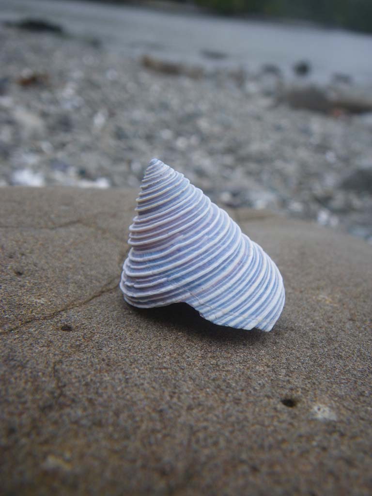
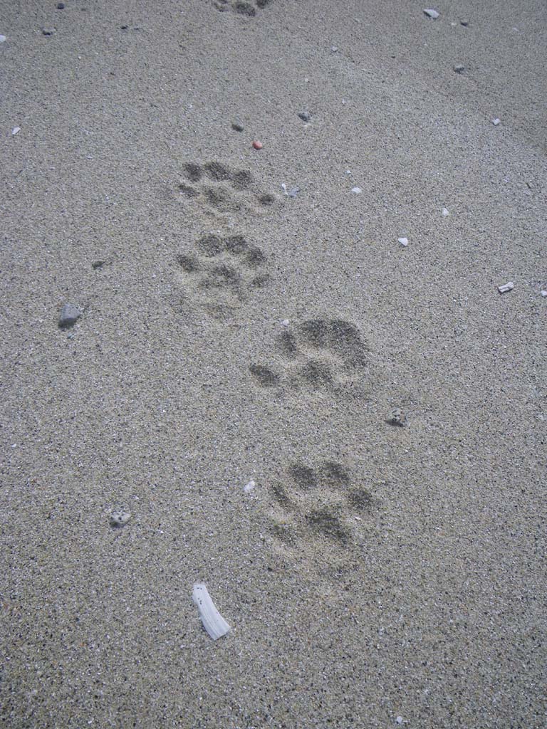
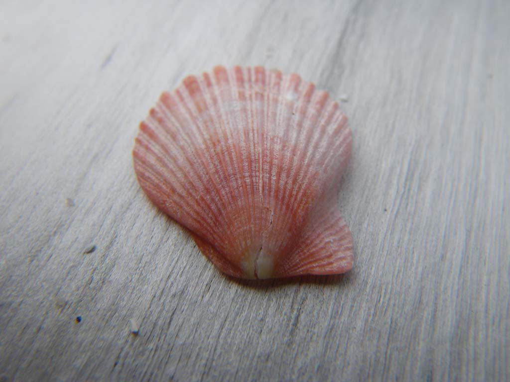
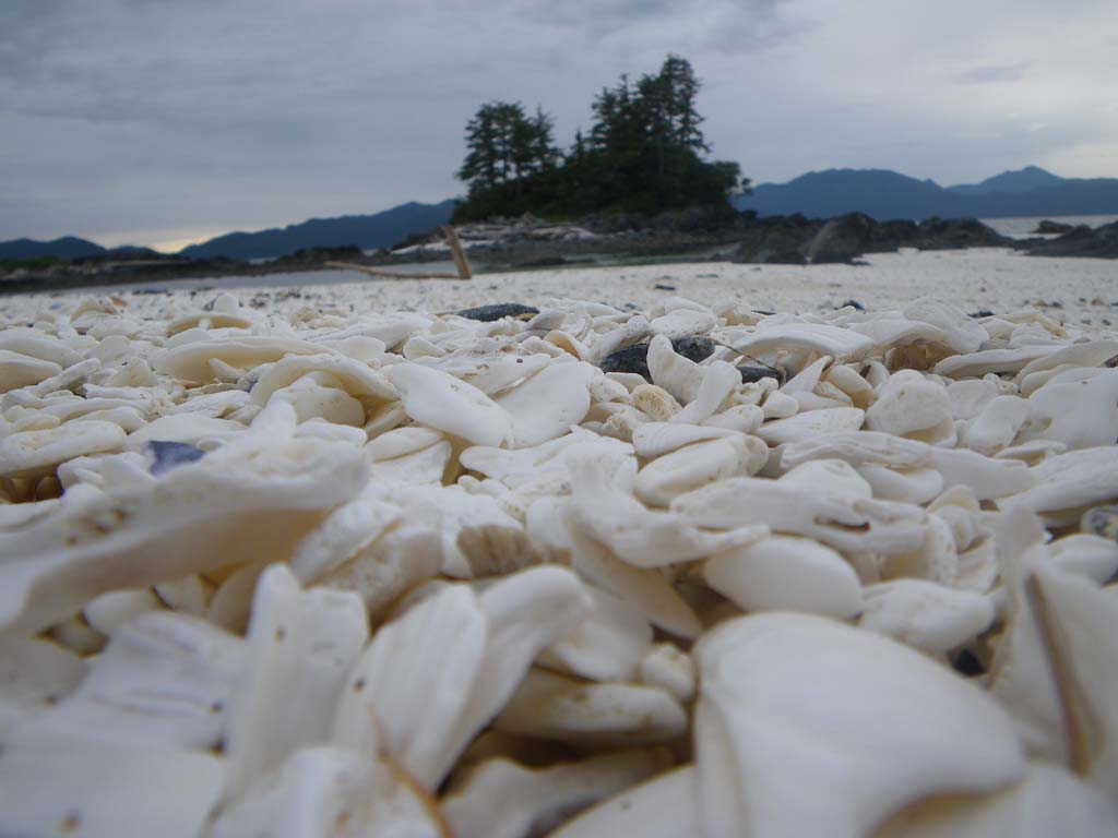
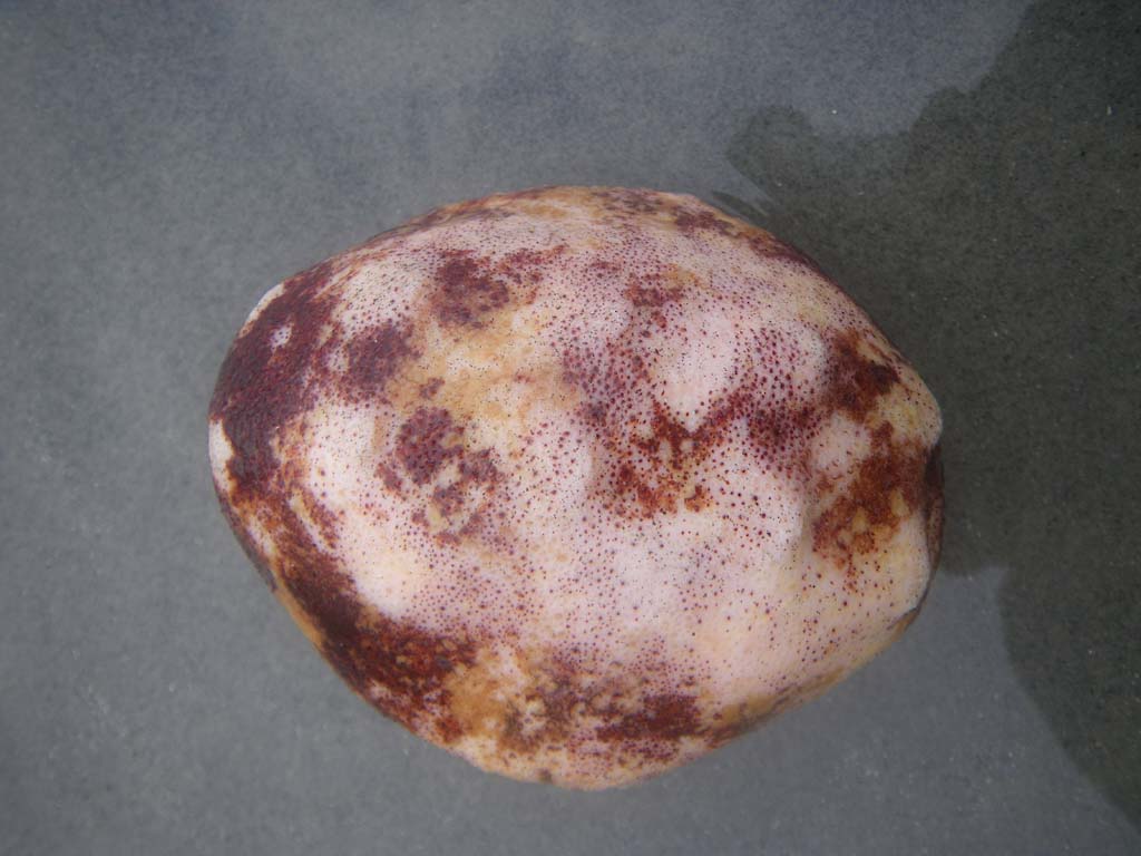
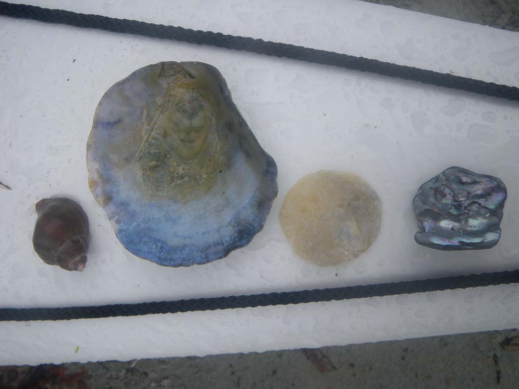
We saw a few humpback whales on our long crossing to Kelp Point.We decided to camp at Open Bight rather than go further and rounding Cape Caution because our weather forecast said a storm was moving in and bringing 25 knot winds and swell to 3 meters by noon. We landed on a nice sandy beach that had wolf tracks everywhere.We built a platform and bench seat out of drift wood for the kitchen shelter and prepared to ride out the storm. It never materialized and we could easily have paddled on.We finished the book “Born to Run”.There were some interesting shells on this beach.It rained in the evening and through the night. We collected water streaming off the shelter to filter later.Several fishing boats circled in our bay. One guy repeatedly hammered on the fish he had caught, screaming “Die! Die! Die!” at the top of his lungs. We started to think it might be hard for us to adapt to people again.
Day 18–Open Bight near Kelp Point to Burnett Bay
Date: July 13
Distance: 21 nautical miles
Duration:No land stops
Actual conditions: Slight wind against, dense fog, zero visibility
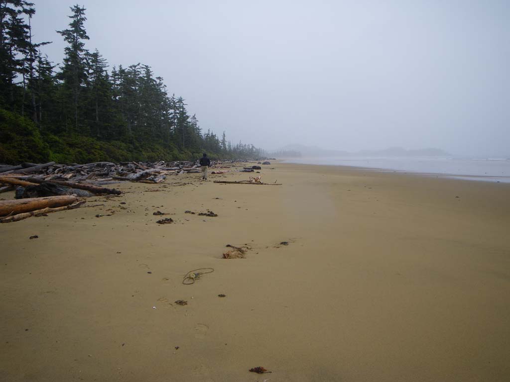
We set off early (5:00 am) and paddled hard to get around Cape Caution before the wind picked up.We had to cross Smith Sound in dense fog.Jonathan did a great job of navigating.We saw several whales and the islands would appear and disappear as we paddled along.We negotiated some reefs near Hoop Bay. The fog was very thick and the reflecting waves quite large as we struck out to round the Cape. We paddled way out and around losing sight of all land and paddling on a compass bearing.Finally we changed directions and came back in closer to shore after passing around the Cape.We saw more whales and porpoises.Some were 15 feet away from our boats.We camped at a fantastic beach of golden sand and driftwood.It seemed to go on forever.We had to haul our boats and gear about 300 yards up the beach to the high tide area, having landed at low tide.We camped at the North end in the woods near a small cabin that could sleep 3.The cabin had a small stove.I tried to start a fire but wasn’t successful due to the lack of dry wood.It rained and rained and rained.Everything was soaked. We went for a walk anyway and got soaked. Had we been further from Port Hardy it would have been a bad idea.We hung our wet paddling attire in the cabin at night with the hope that it would dry just a little.It didn’t.
Day 19– Burnett Bay to Port Hardy
Date: July 14
Distance: 33 nautical miles
Duration:10 ½ hours with a ½ hour lunch stop
Actual conditions: 15 knot headwind, tidal race, dense fog becoming calm