This is the second half of a 1000 km canoe expedition across Northwest Territories and Nunavut in the Canadian arctic. This page covers the journey down the Thelon river to Baker Lake.
Day 12
Weather: Warm, sunny, light wind, smokey behind us
Distance: 55 km
Location: Latitude:63.85861, Longitude:-104.07407 at 07/24/2014 18:22:41 PDT
Map link: Click here
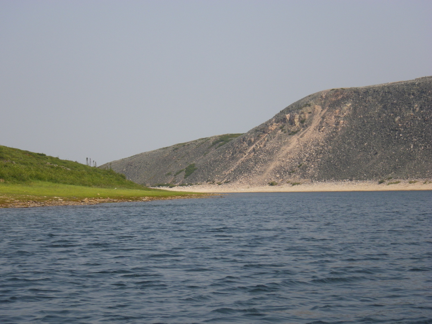
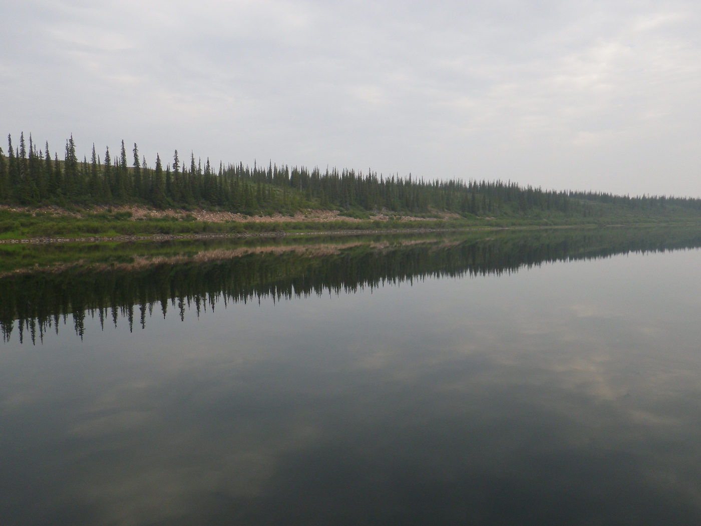
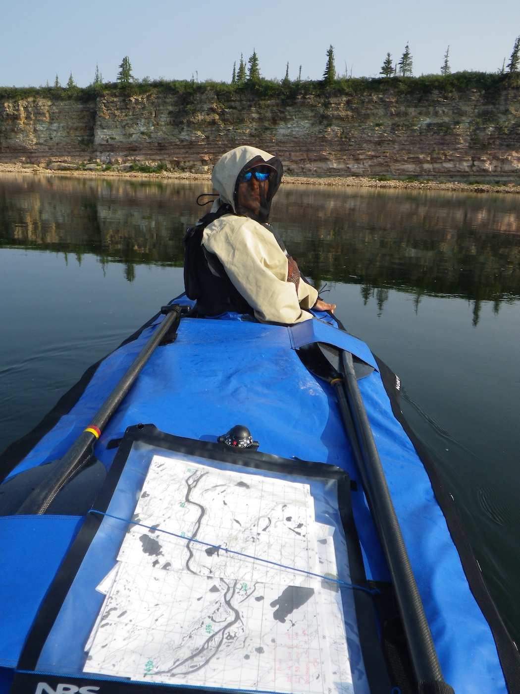
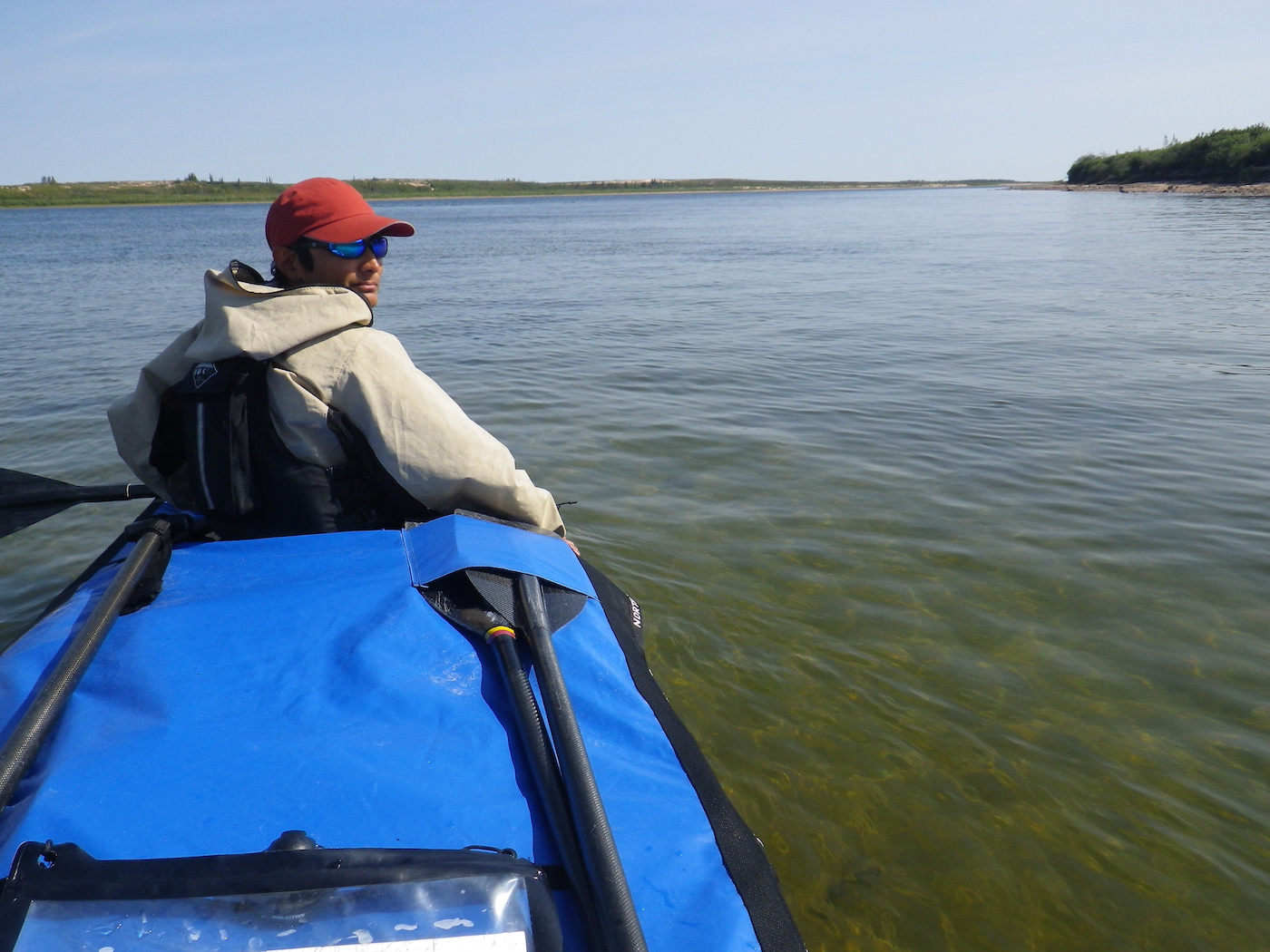
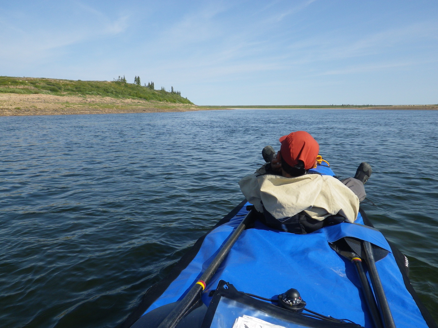
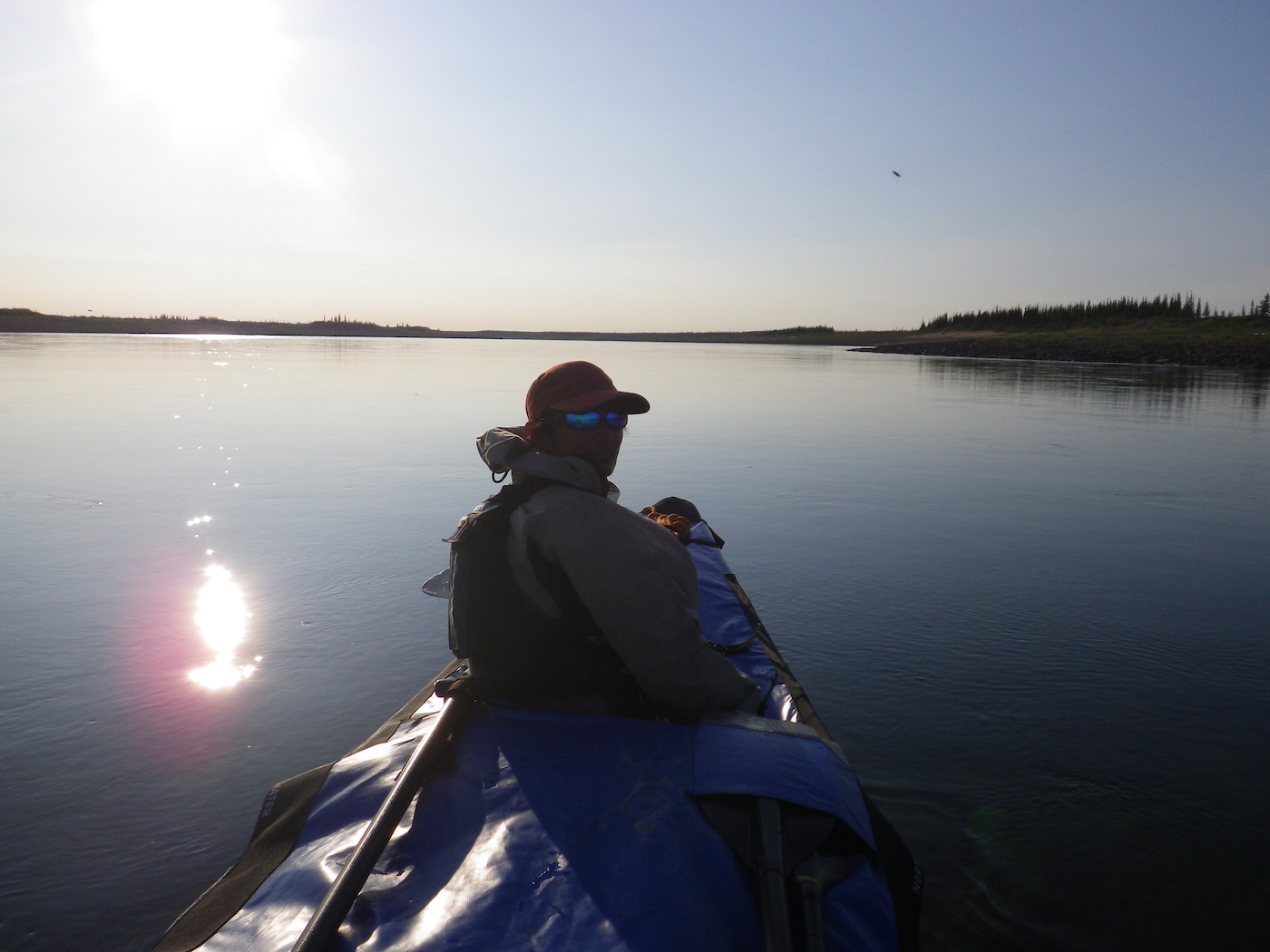
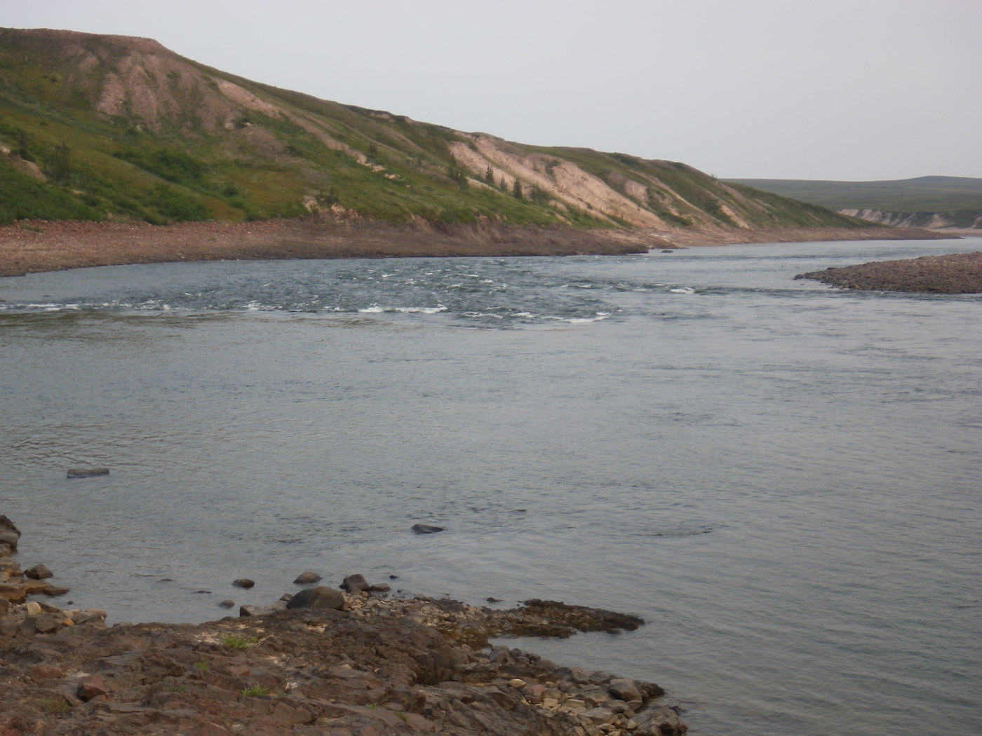
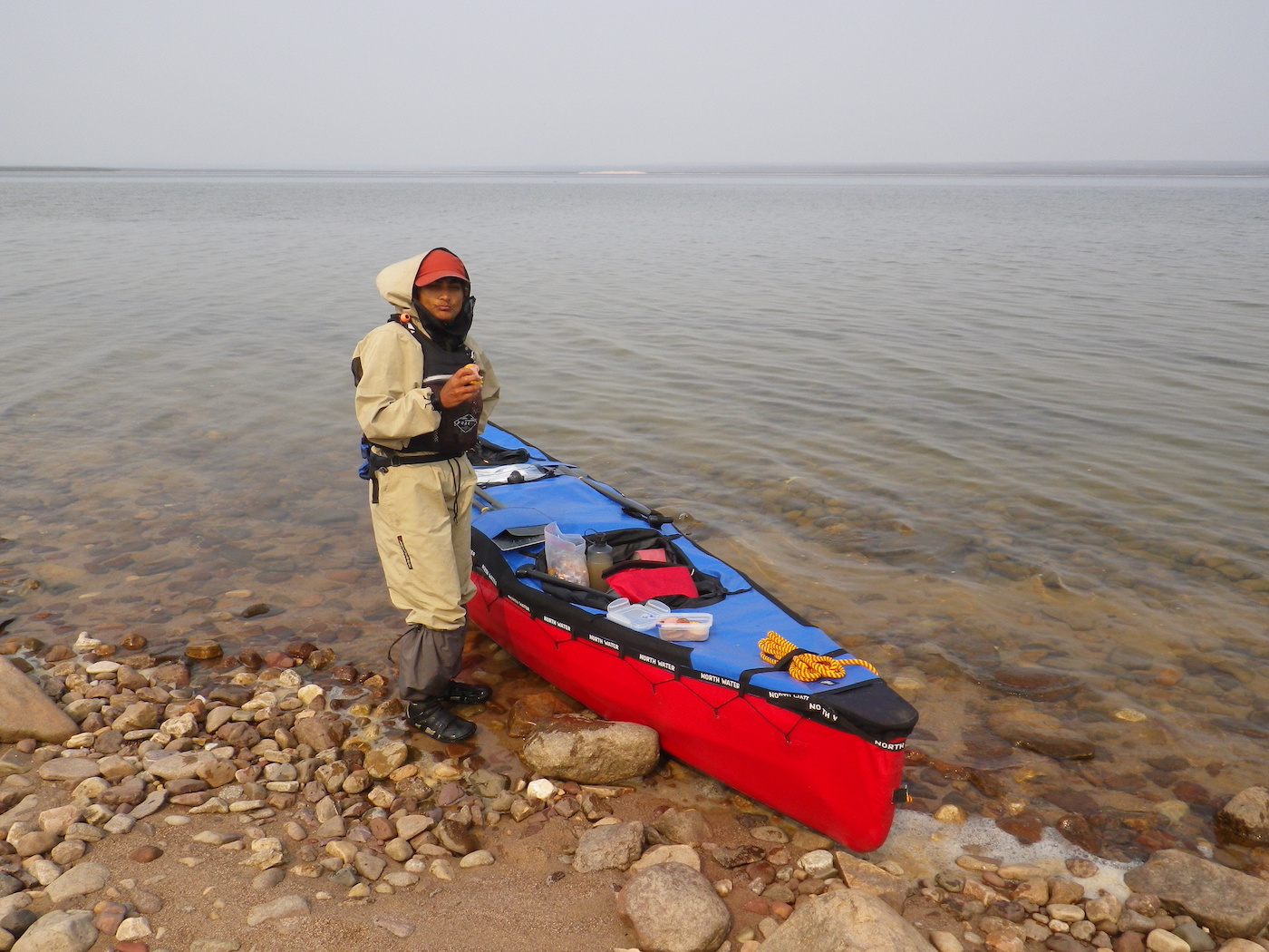
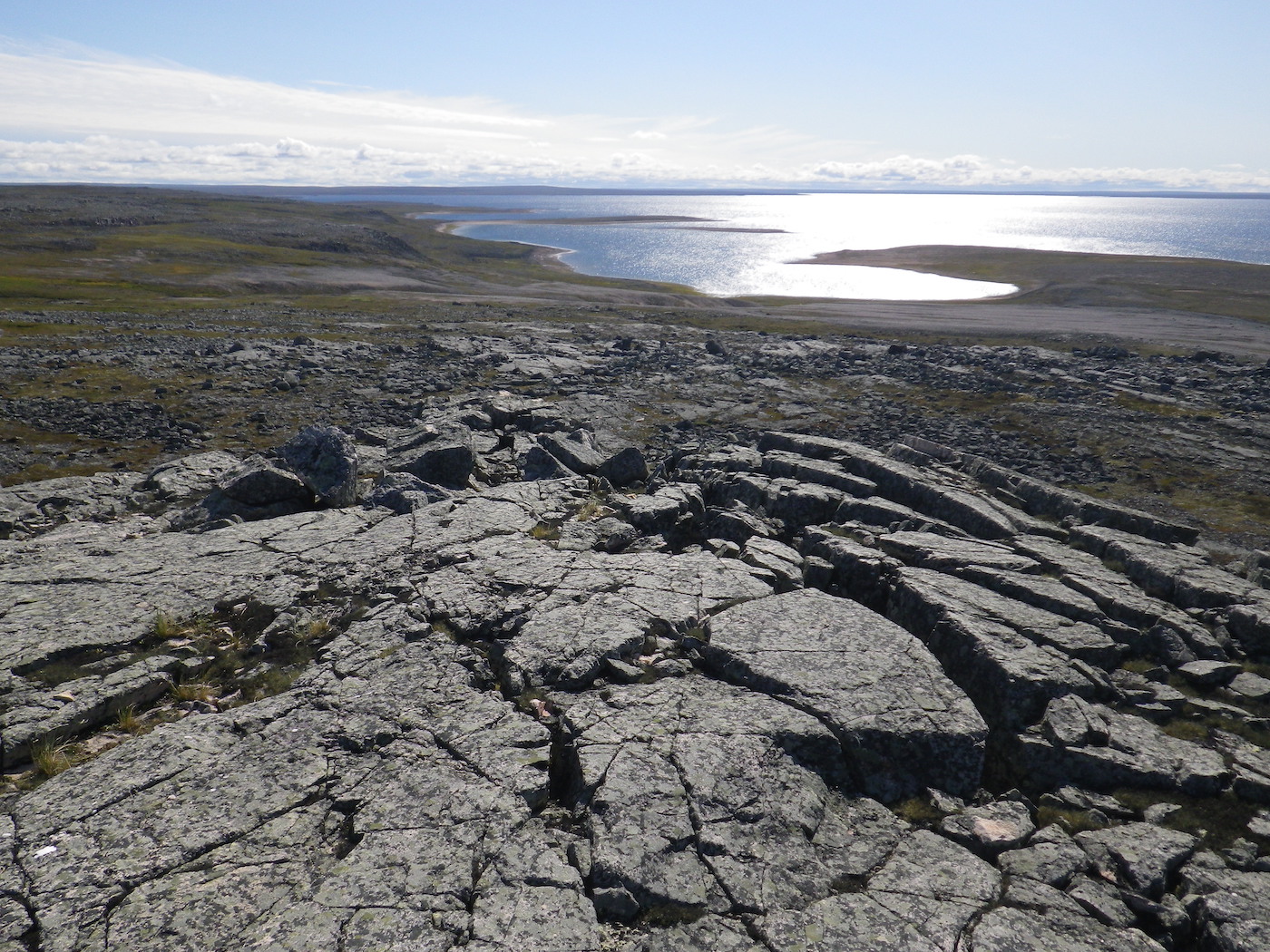
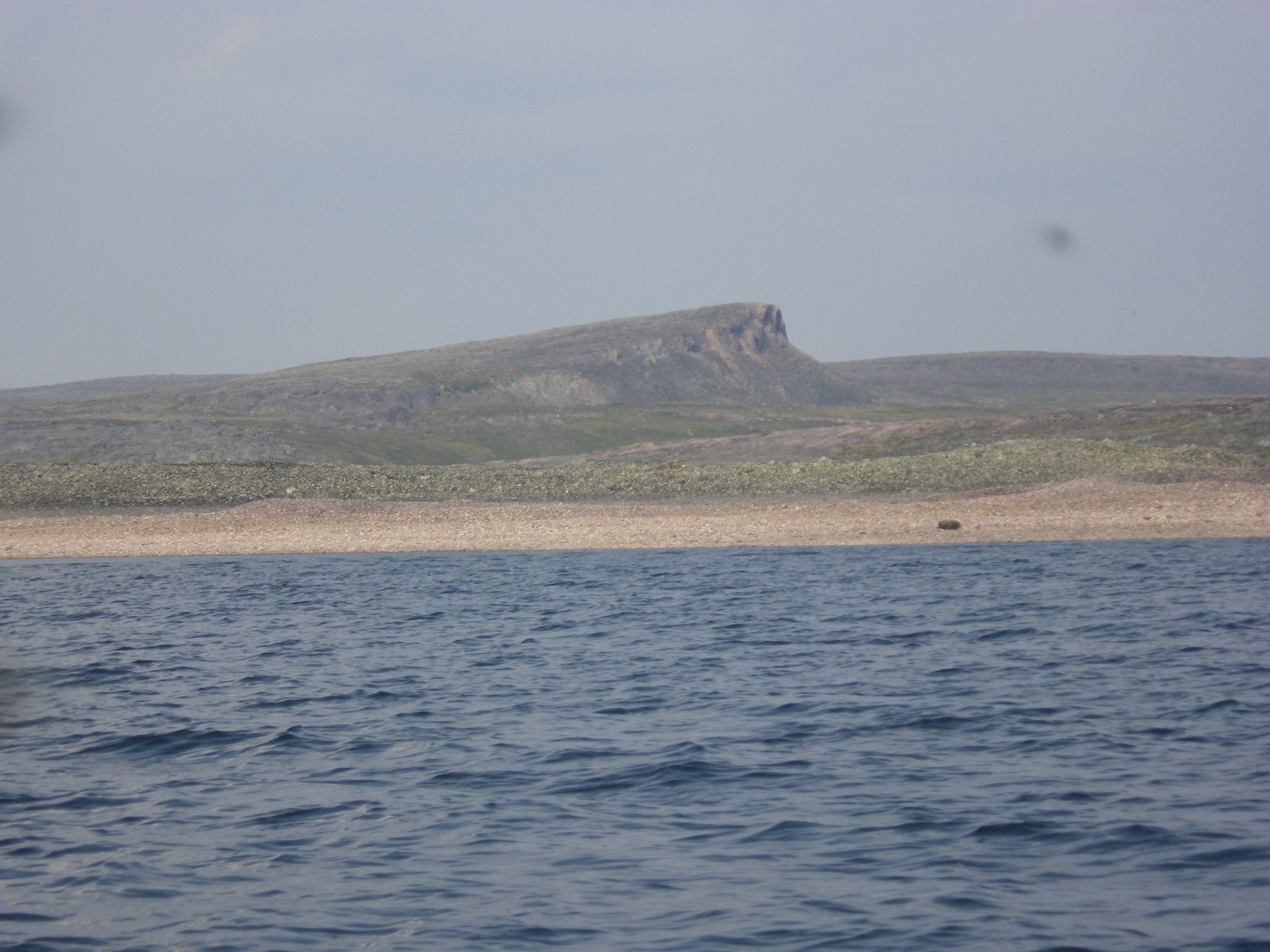
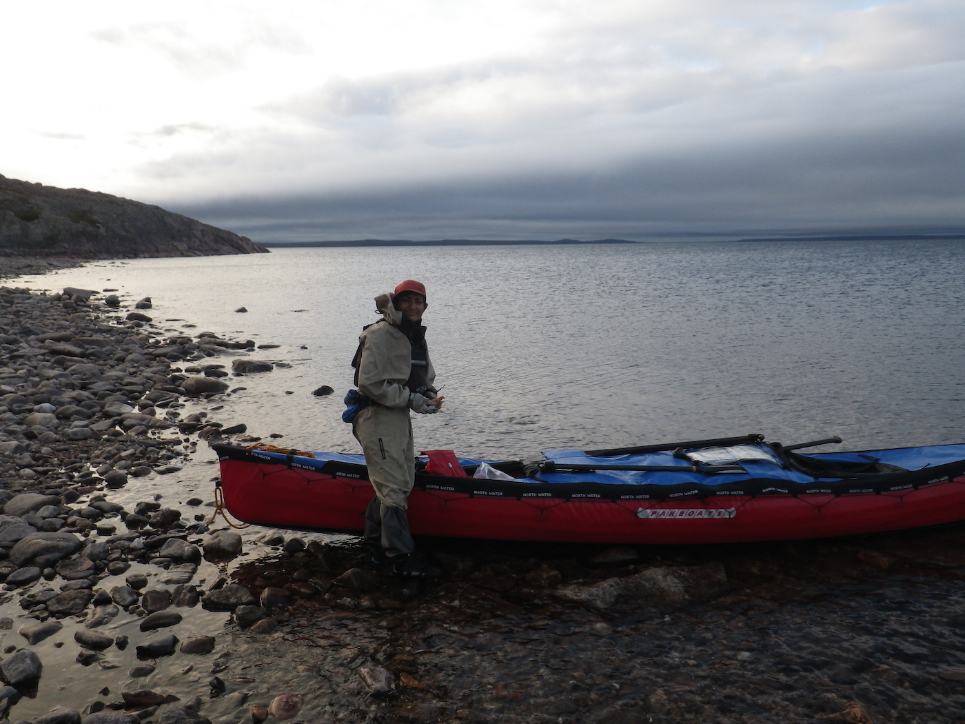
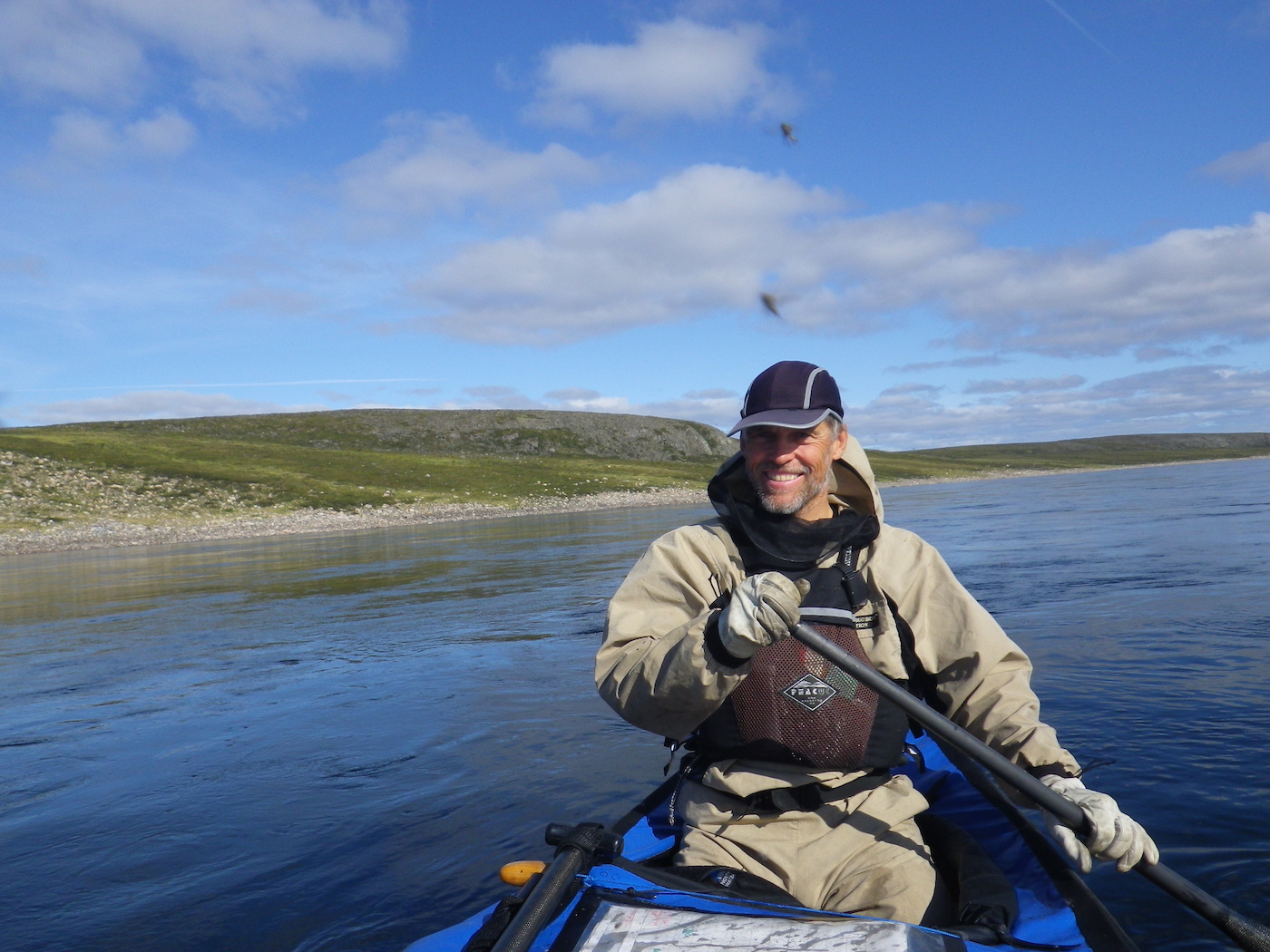
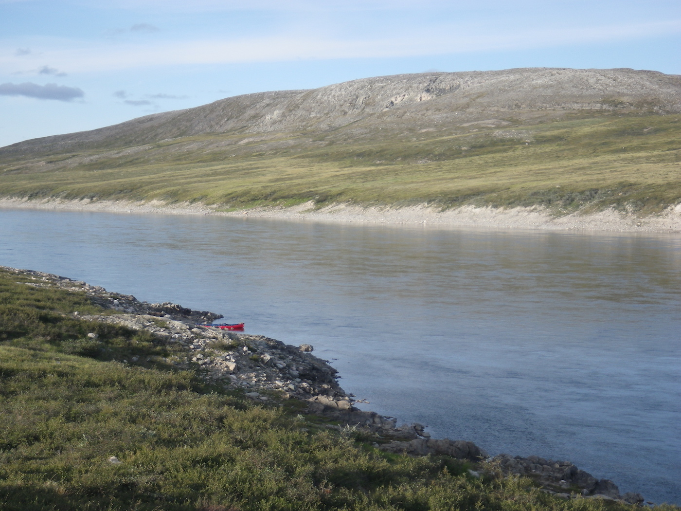
Today was the day we completed the Hanbury River portion of our expedition. Shortly after 10 am we reached the Hanbury-Thelon junction. The Thelon River is very wide and shallow at this point, with extensive gravel bars. It is not easy to determine which of the many wide, shallow channels actually goes through with enough water to float a canoe. The river level feels very low.
We spent the next hour or two guessing (usually correctly) which channels had enough water to float our canoe, and covered the miles down to The Gap. We had a very gentle current assisting us, and a very slight tailwind, which was just strong enough to keep the bugs around our heads. Behind us a large bank of smoke loomed and seemed to hover just behind us all day, being pushed down the Thelon by the wind. We tried to stay ahead of it because it was much nicer having clean air to breath and good visibility, rather than the smokey conditions we had endured the past few days. The Gap looked like a great place to hike, but we decided to keep floating because of the imminent smoke and the fact that we were glad to be on the water after the past few days of brutal portaging.
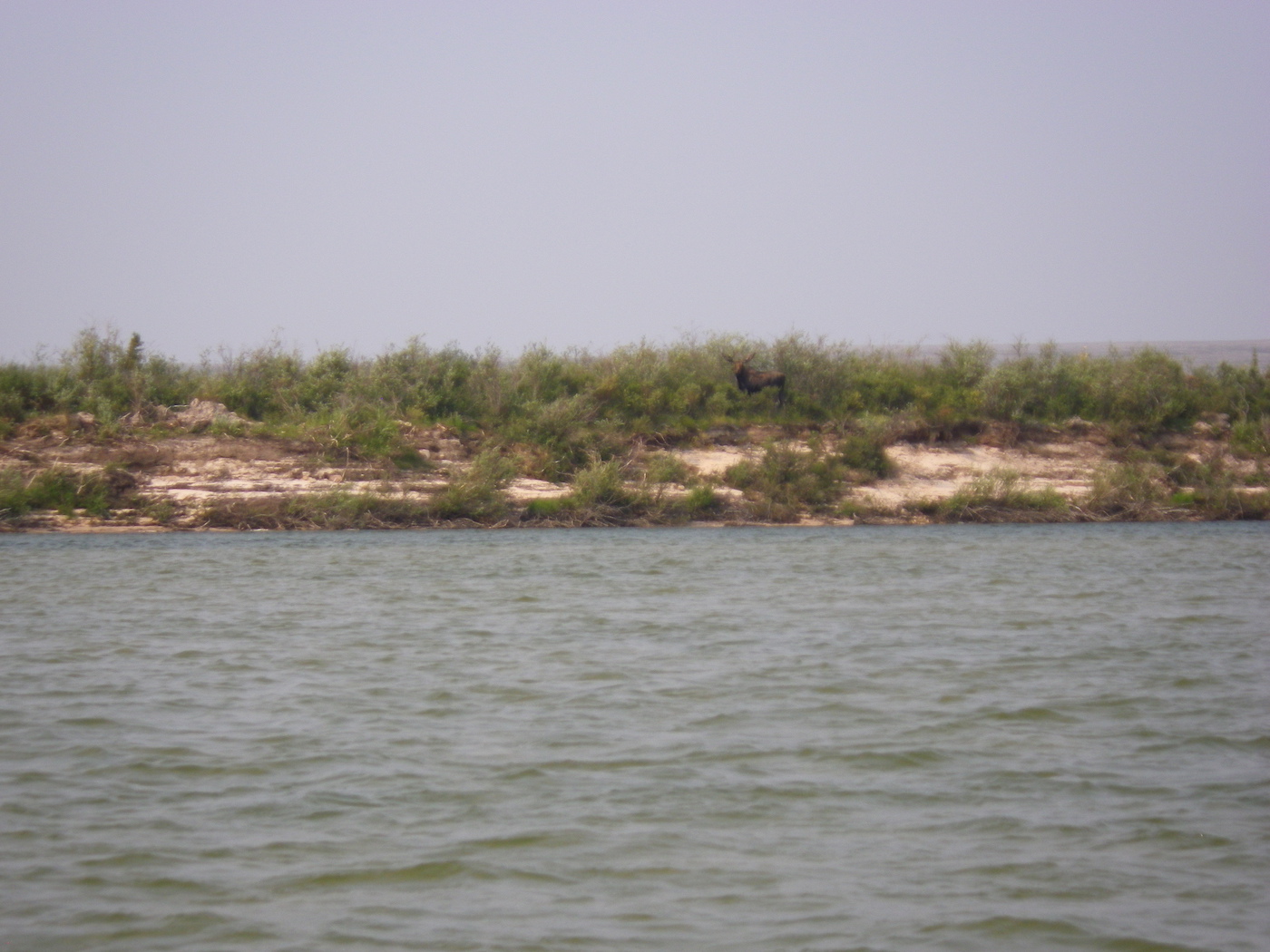
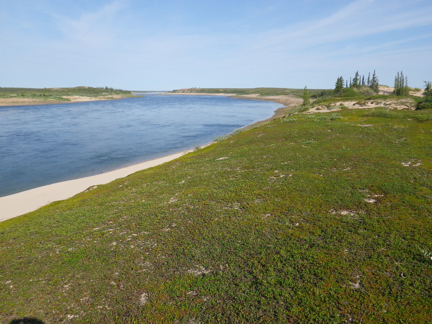
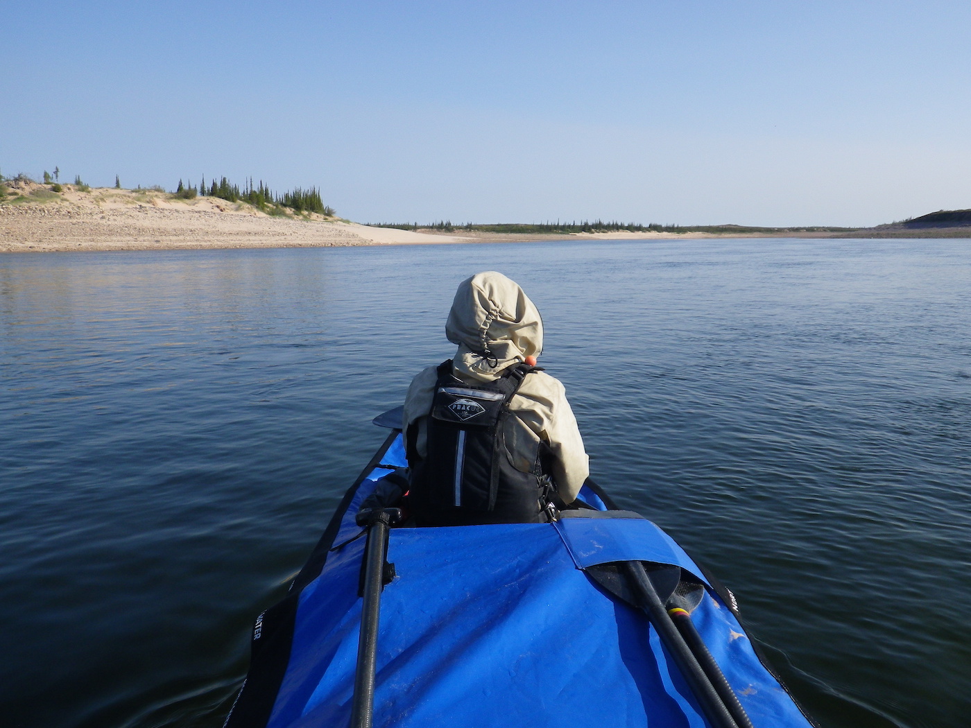
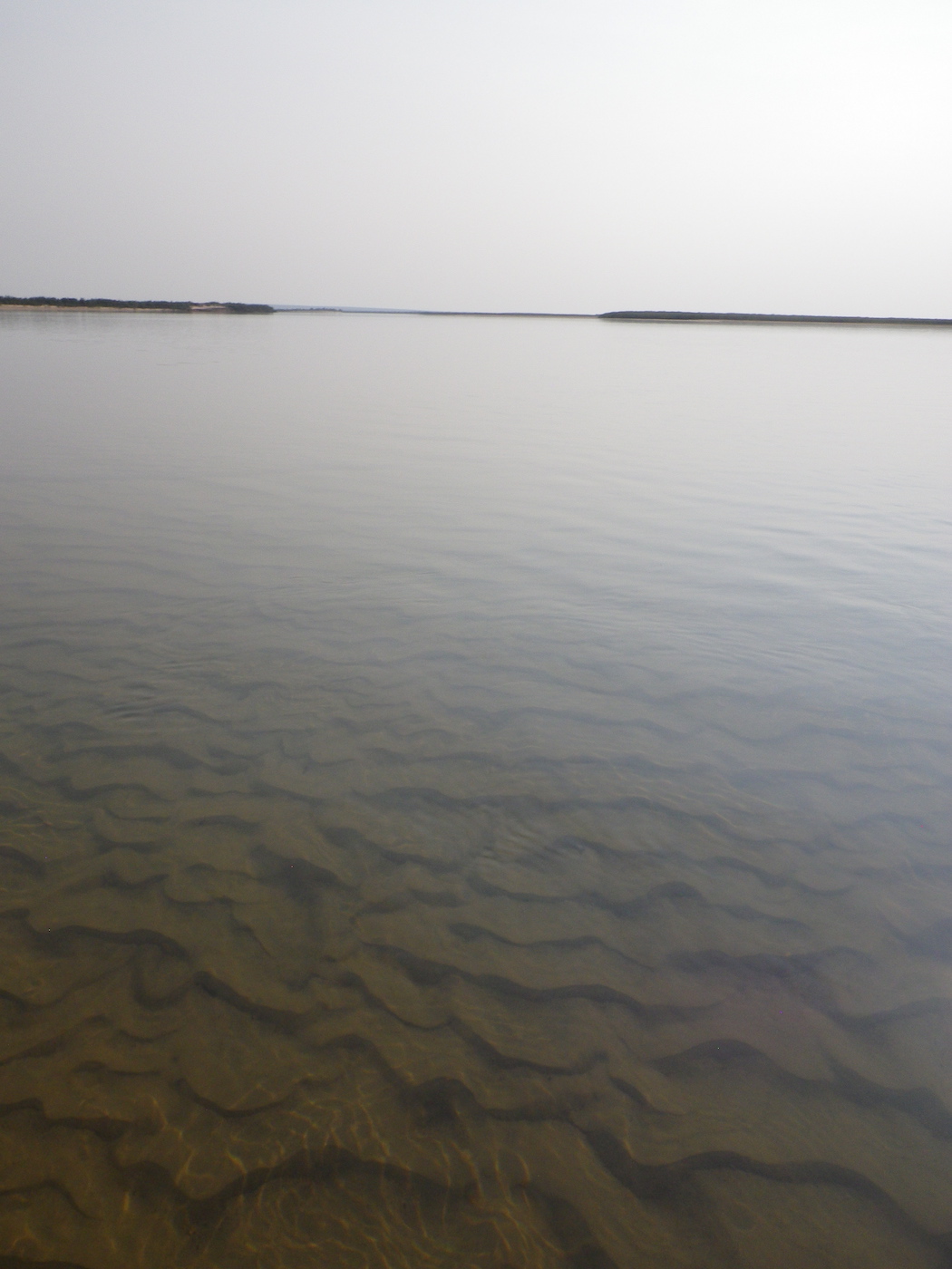
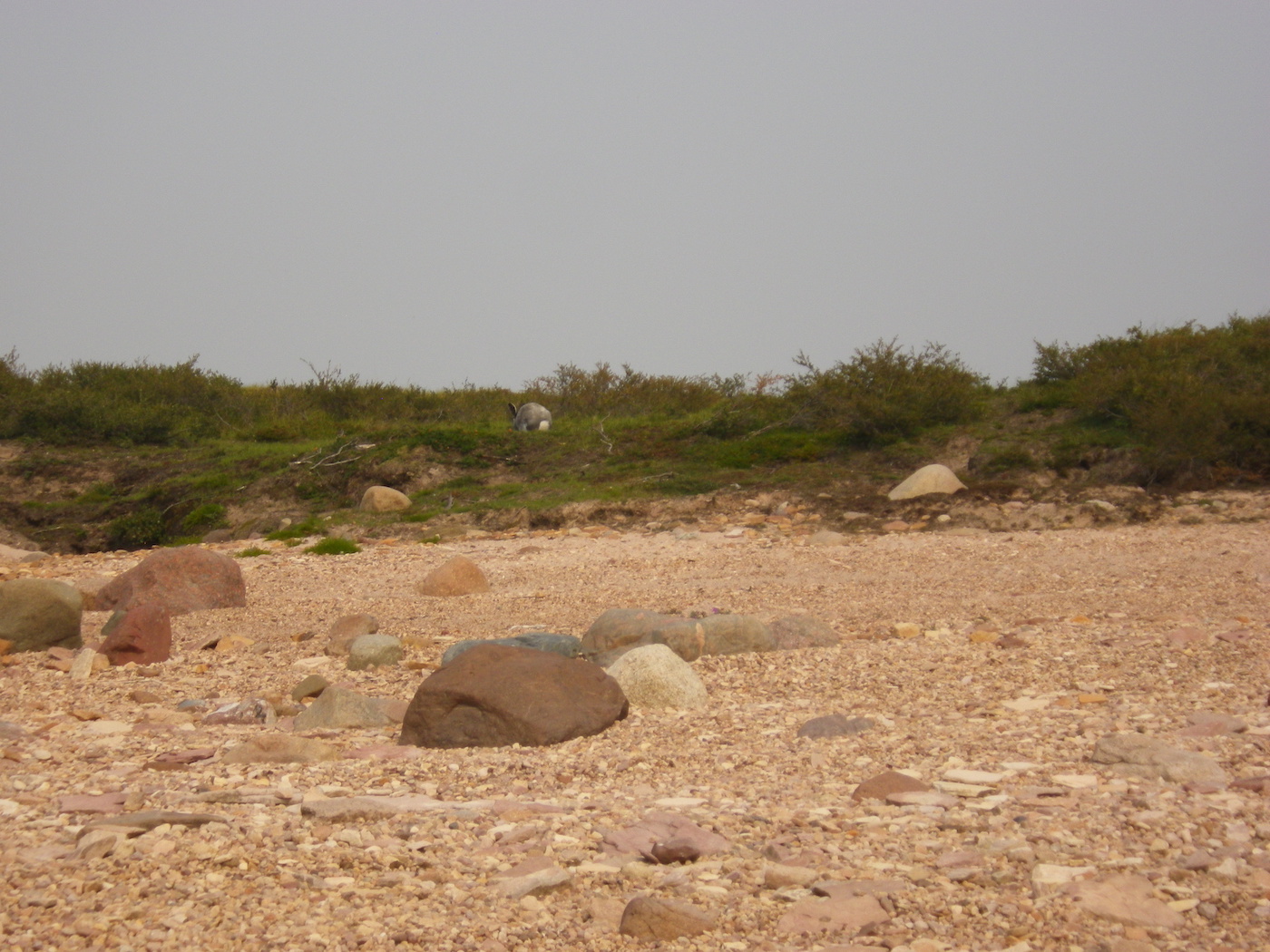
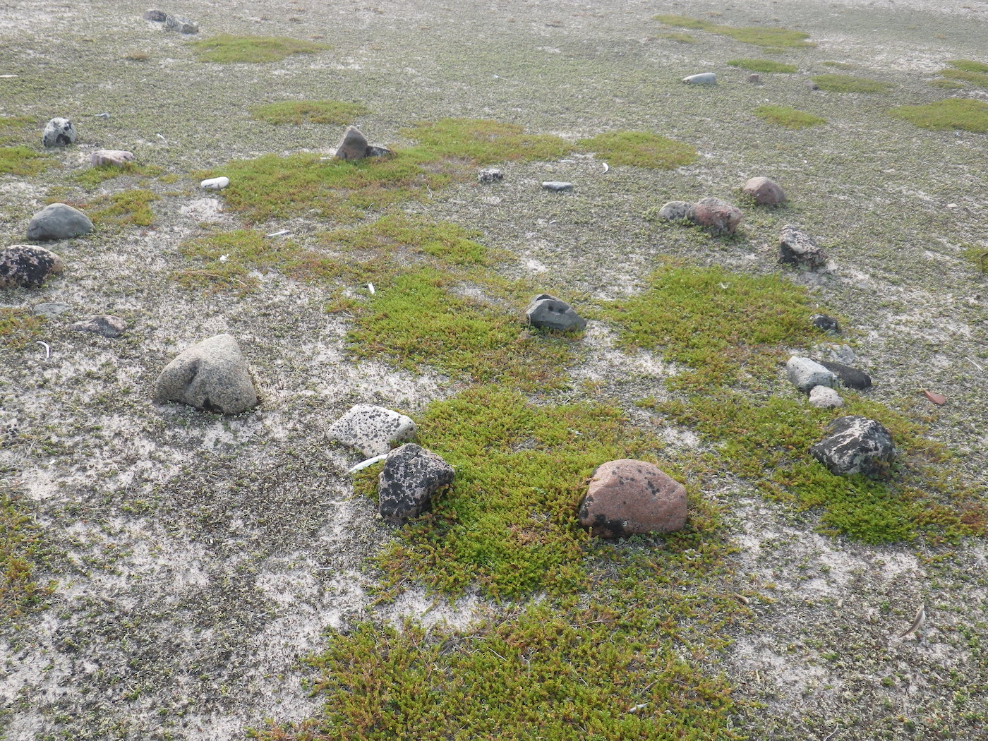
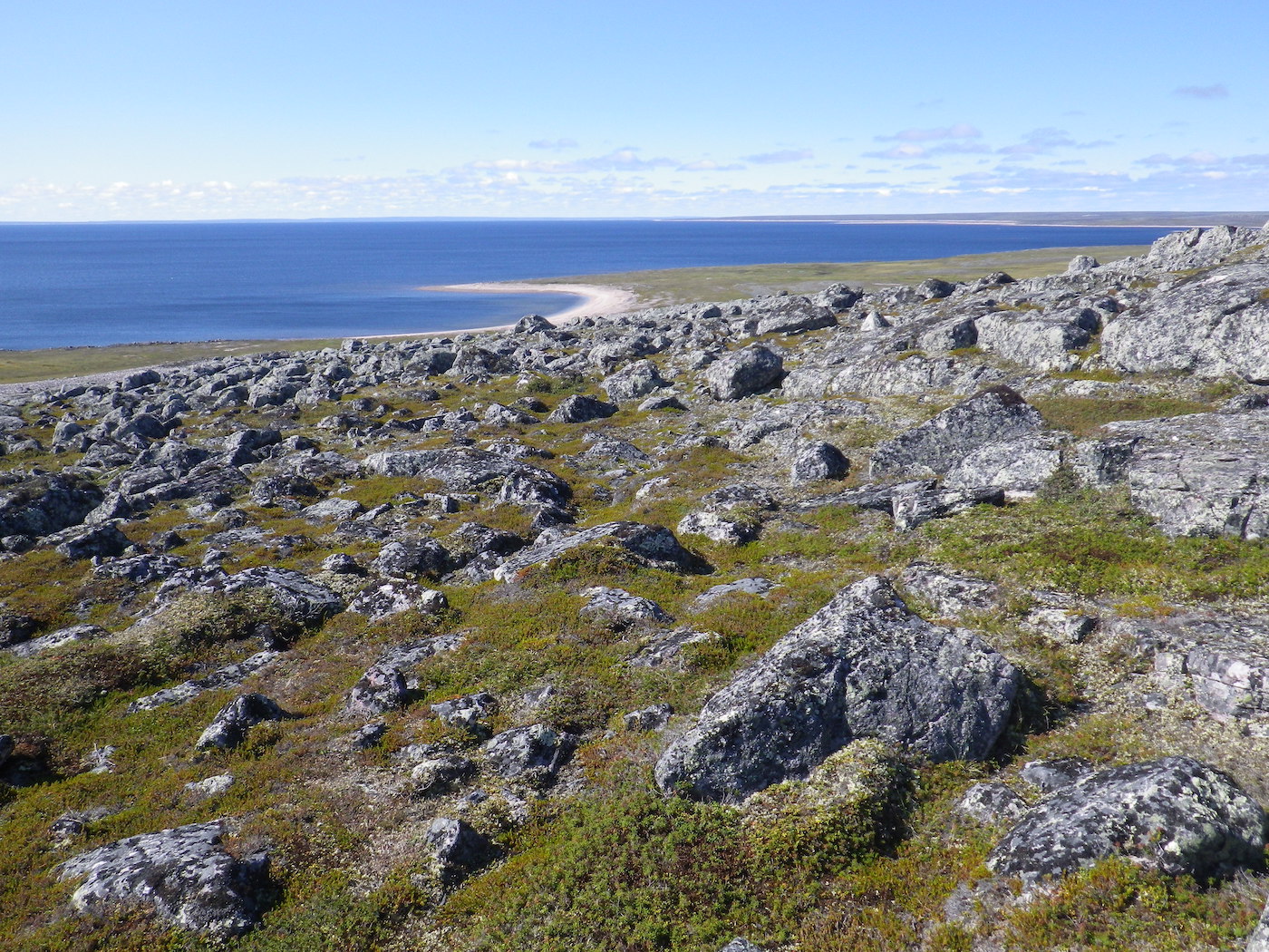
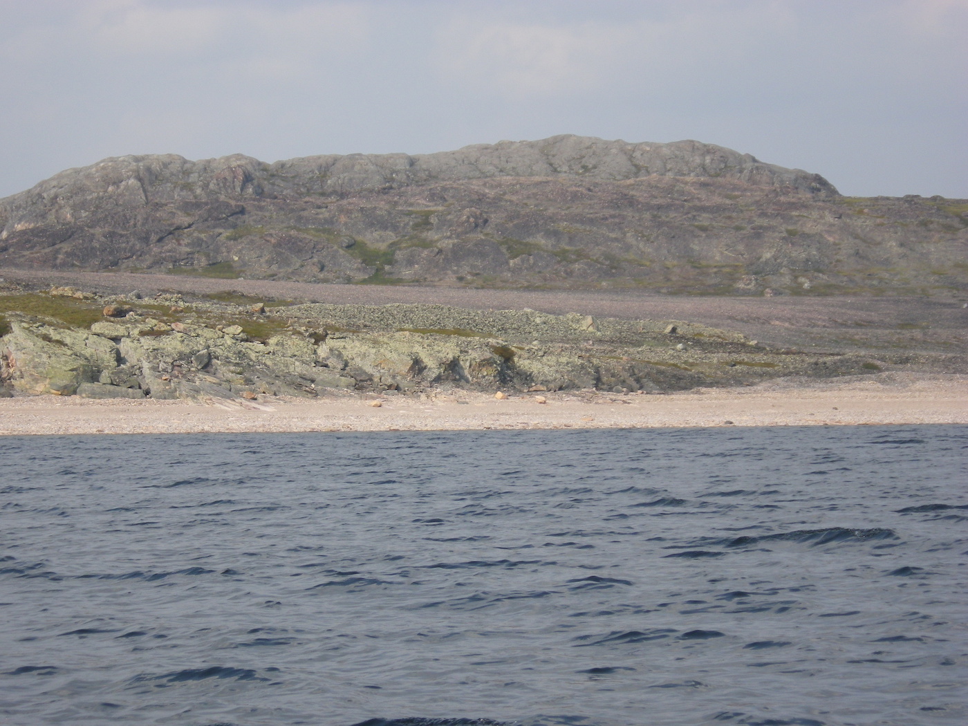
Grassy Island, immediately downstream of The Gap, was spectacular. It felt like we were at the coast, in the estuary of a large river. The sand banks were extensive and low lying. It made it hard to see where the water ended and the land began. This area has a very different feel to it than the Hanbury. We saw a moose here, which seemed out of place for a tundra river. The Thelon isn’t really a tundra river here though. This is the Thelon Oasis. The banks are densely forested and brushy for miles.
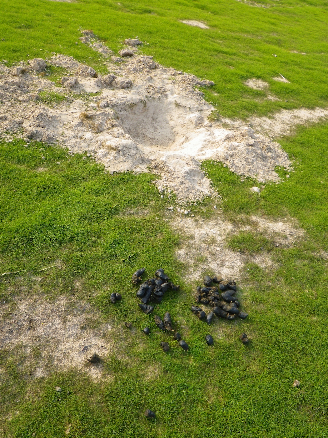
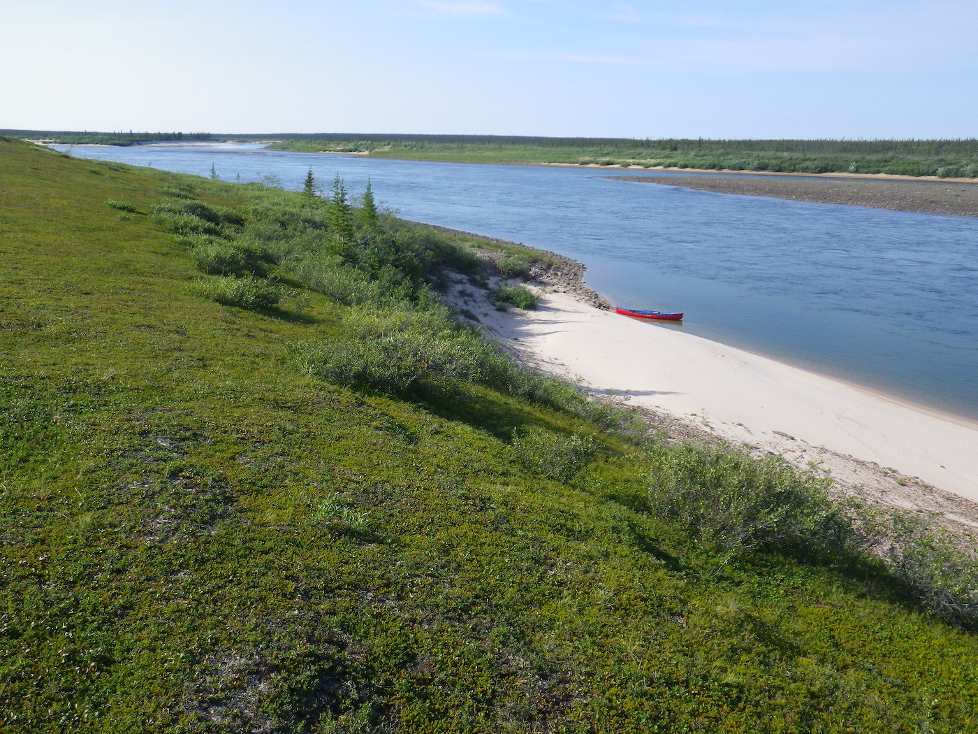
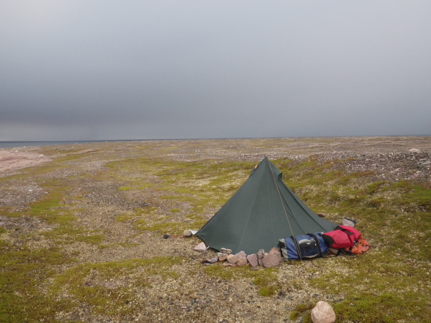
Eventually the river narrowed and we spent many km searching for a good camp spot. All the places we examined had recent grizzly bear activity, so we kept moving on. We finally stopped, exhausted, on a beautifully level, grassy sand bar. After setting up our tent we noticed that it too had grizzly bear signs. We stayed, but I half slept all night, with one hand on the bear spray. At 2am we were woken by loud crashing in
the bushes. Fortunately, whatever large animal it was making the noise seemed more startled by us and was running away. We left early!
Day 13
Weather: Hot, calm wind, buggy.
Distance: 66 km
Location: Latitude:64.28446, Longitude:-103.52542 at 07/25/2014 14:52:10 PDT
Map link: Click here
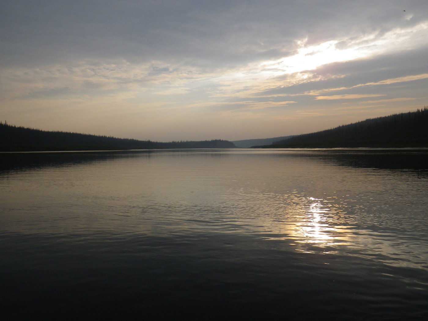
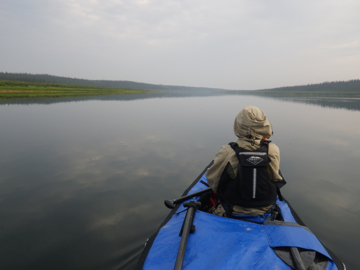
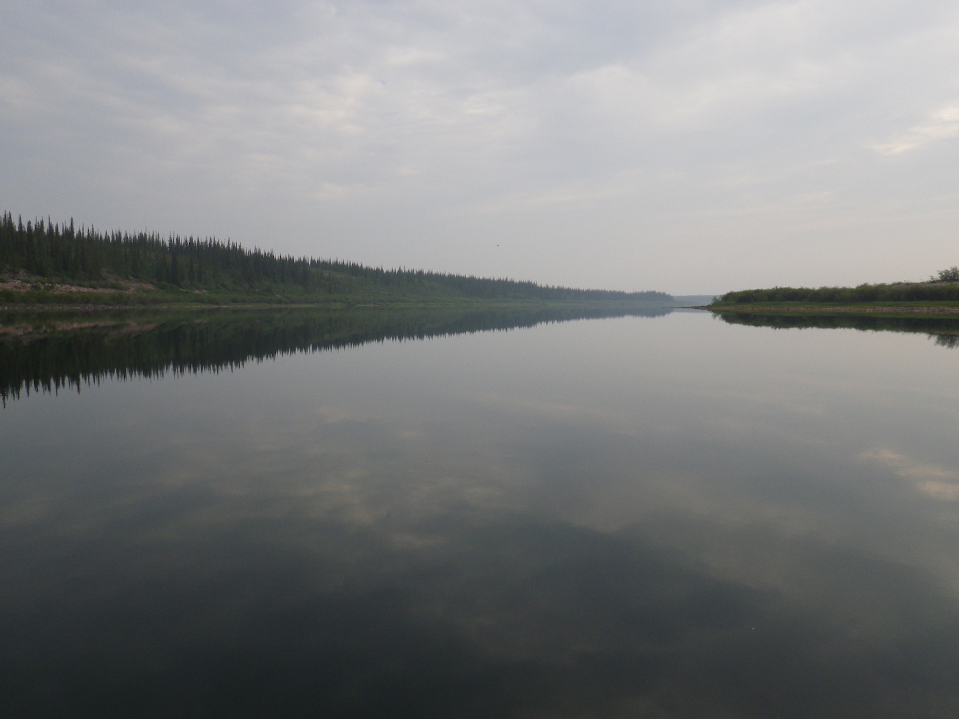
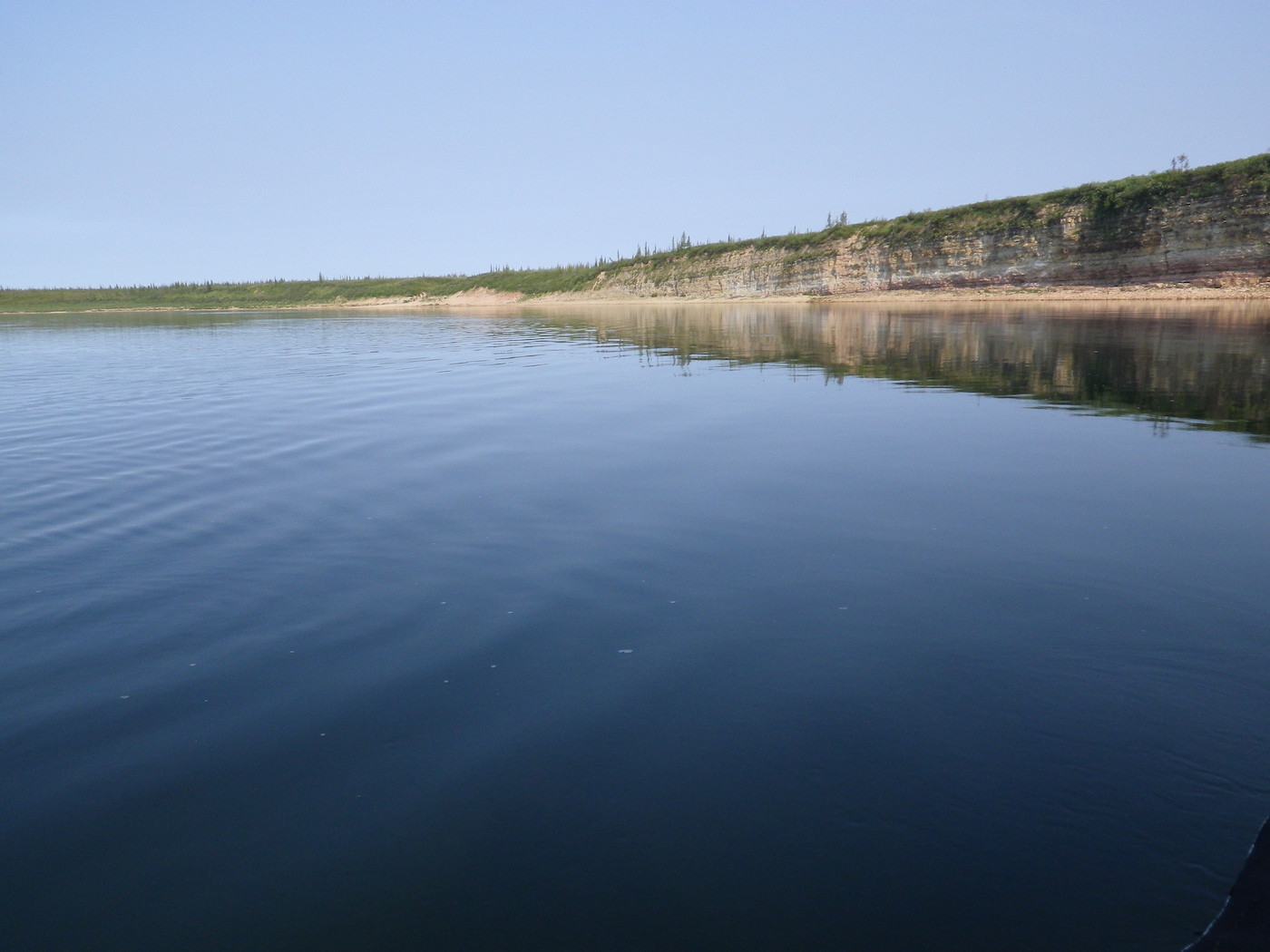
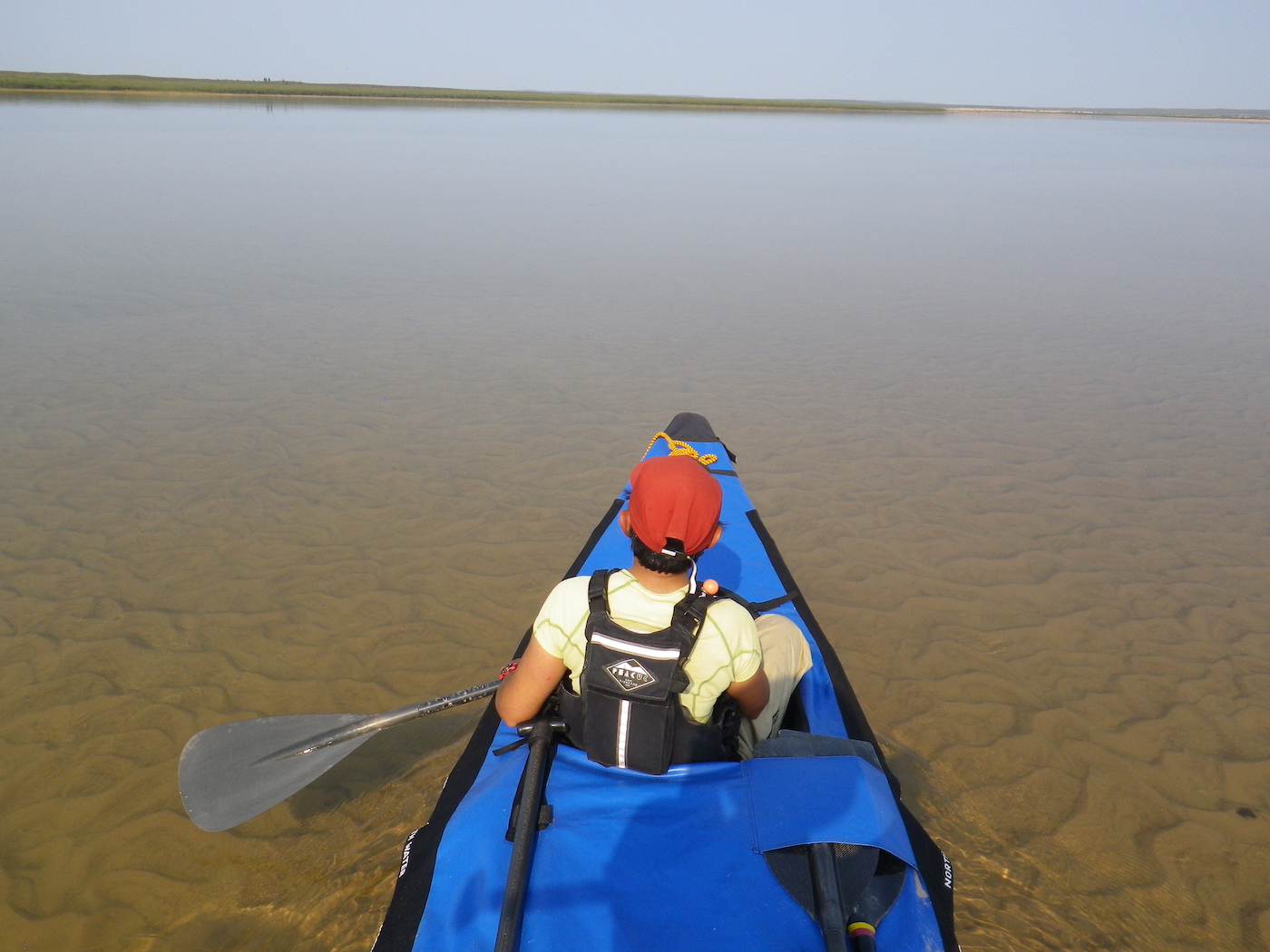
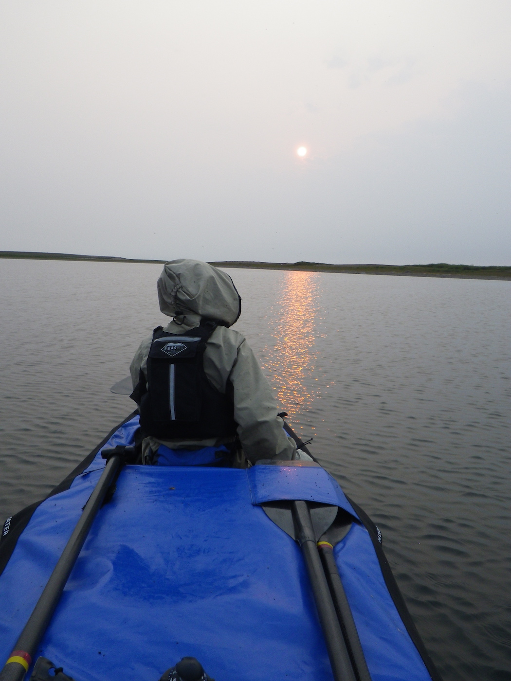
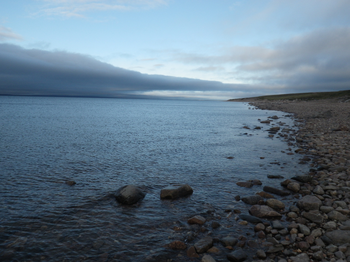
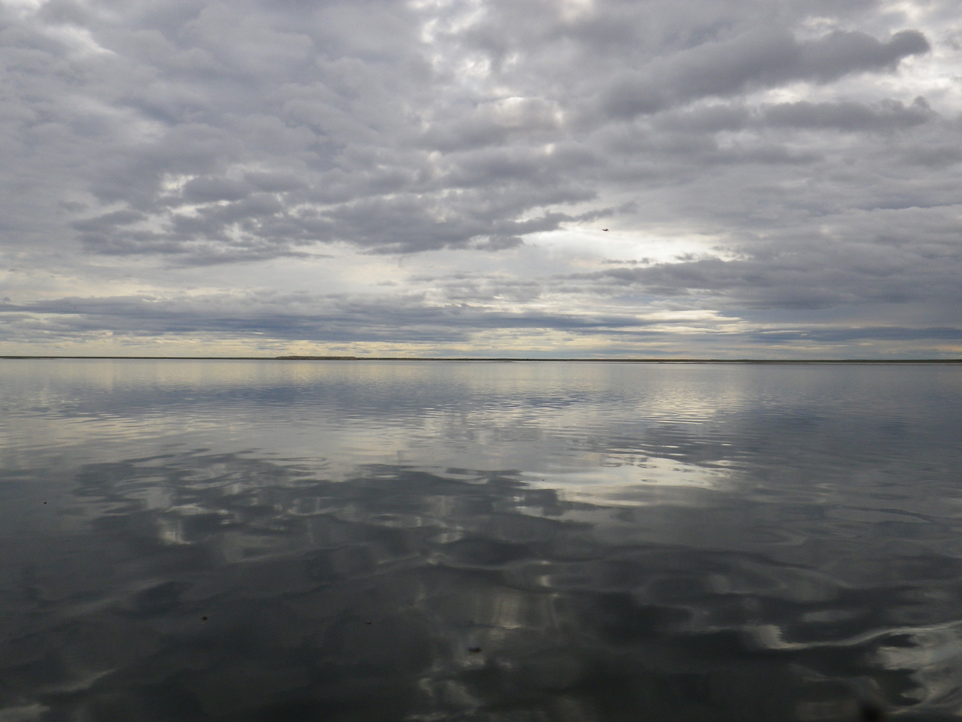
We were up early and on the water by 6am. There was no current for the first 20 km, so despite being on the Thelon “river” it was really like paddling down a long, narrow lake. We started to get a bit worried about the effort required to cover the remaining 600 km of our journey. We were working hard to average 6 km per hour. On the positive side, though, the surface was like a mill pond and the reflections were fantastic.
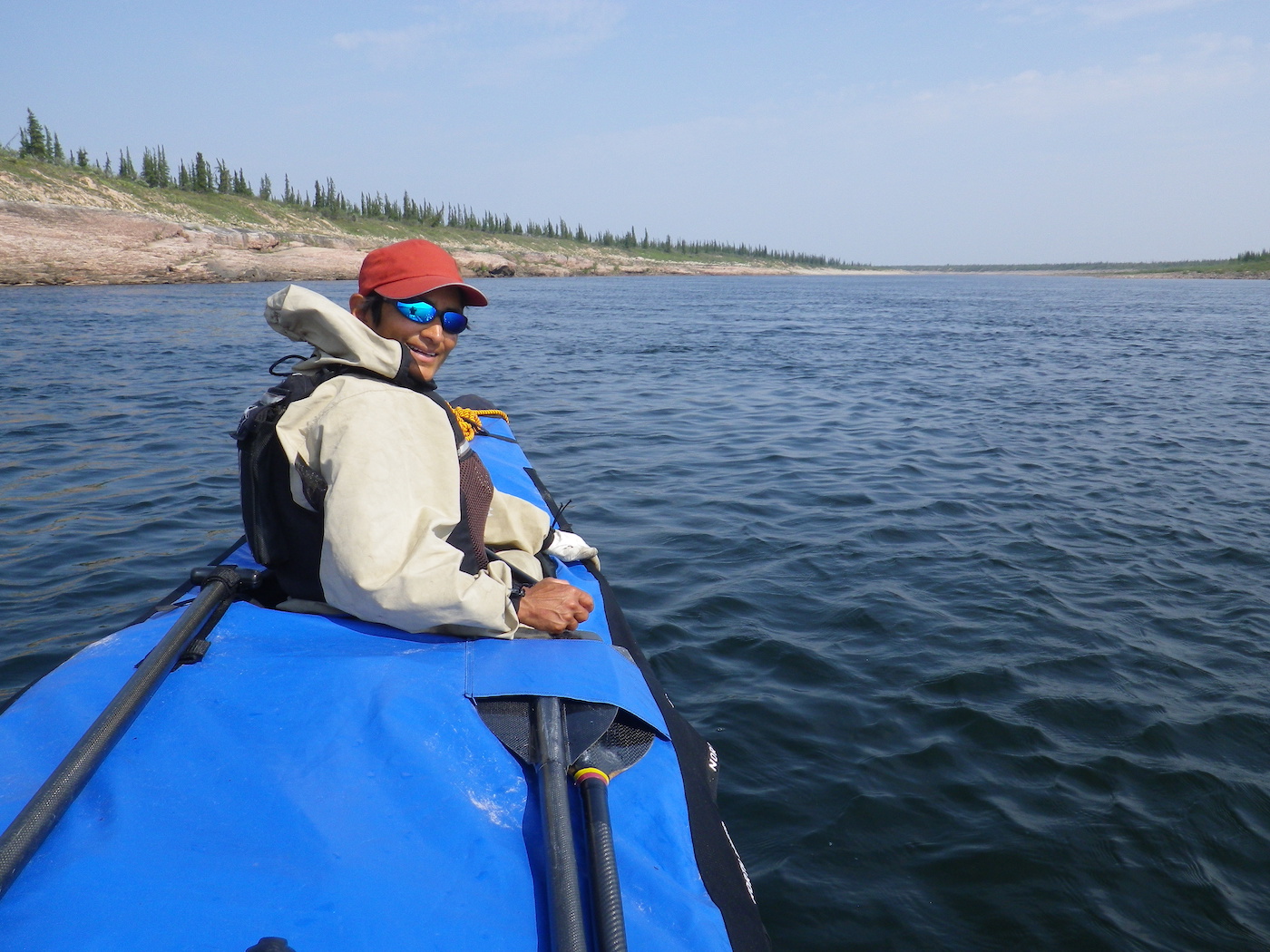
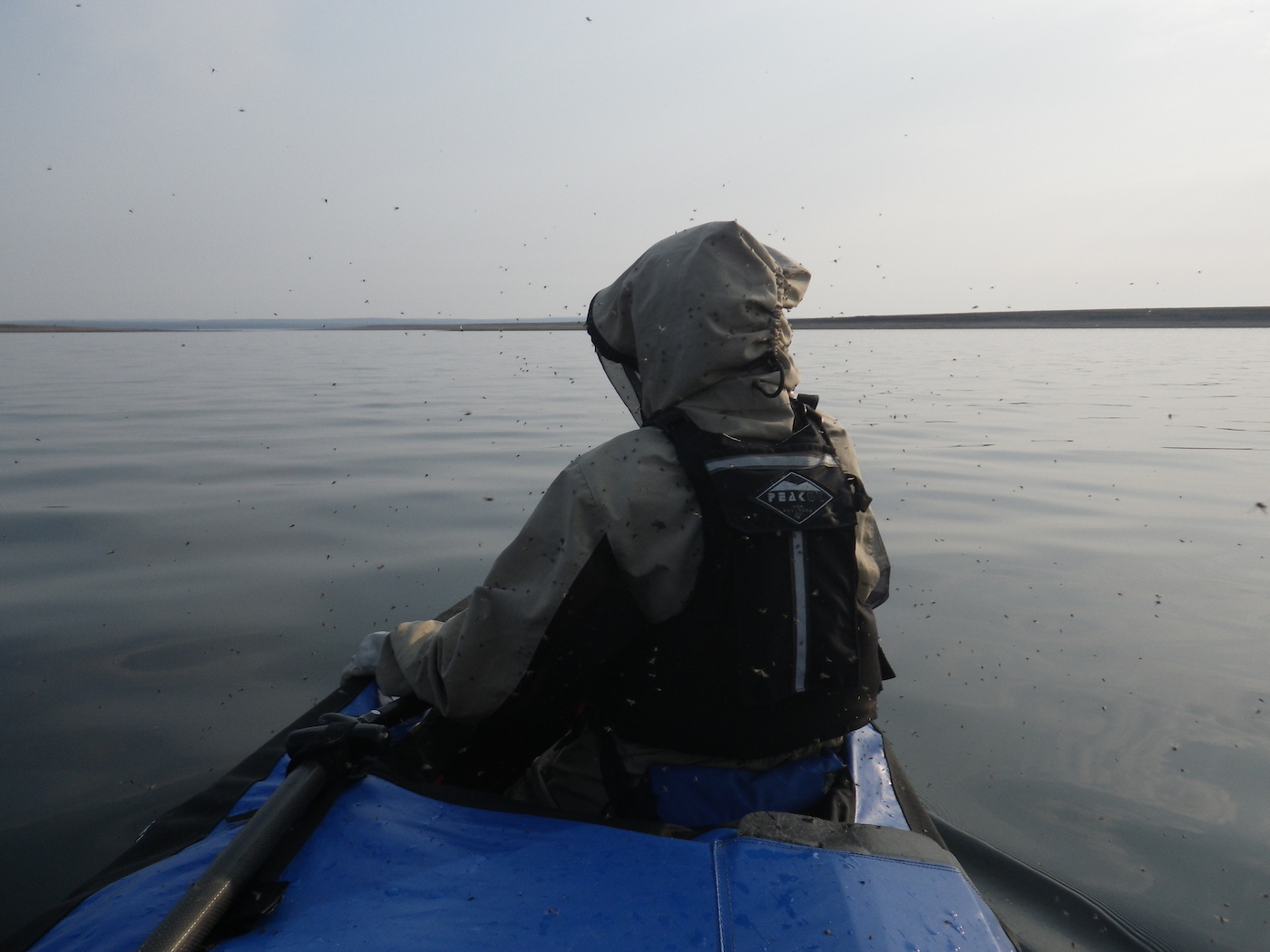
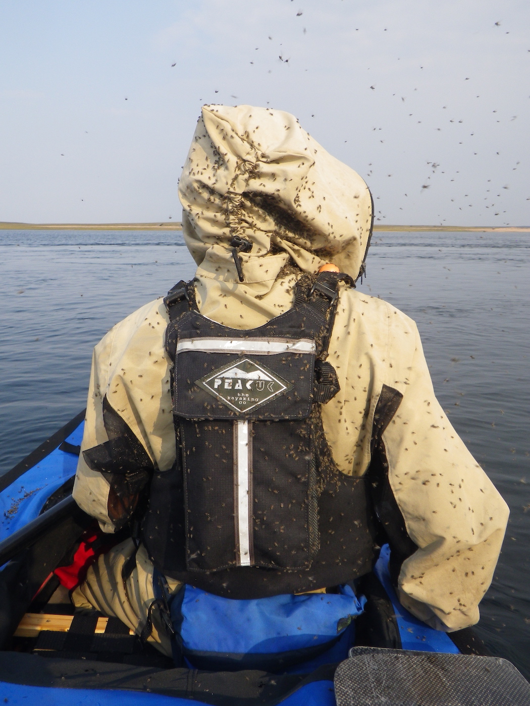
After 20 km the current started to pick up a bit and we enjoyed watching the banks pass by at a greater speed and the river bed pass beneath the hull of the canoe in a kaleidoscope of colorful rocks and pebbles. We saw a grizzly bear on river right. It stood up on its hind legs to get a better smell of us, and then turned and ran off. Can’t blame it, really. We’d been sweating in these bug suits all day, every day, for almost 2 weeks. We also enjoyed frequent sightings of peregrine falcons, bald eagles, arctic terns, swans, and canada geese.
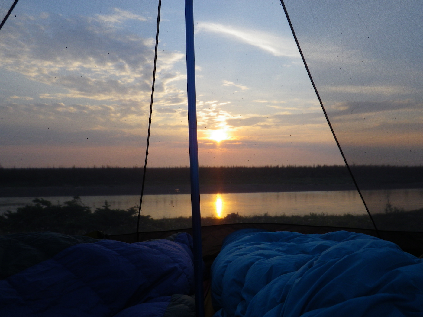
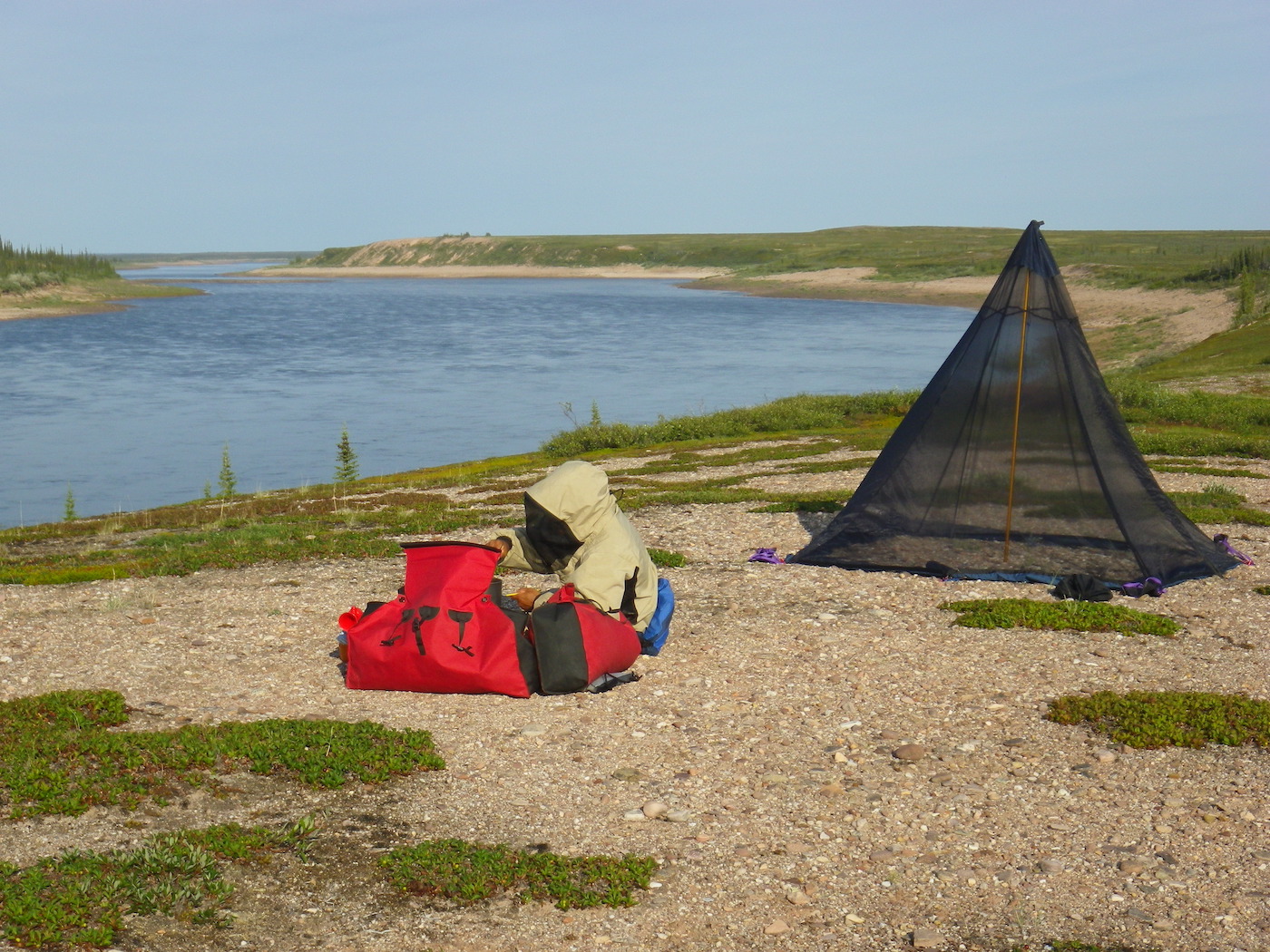
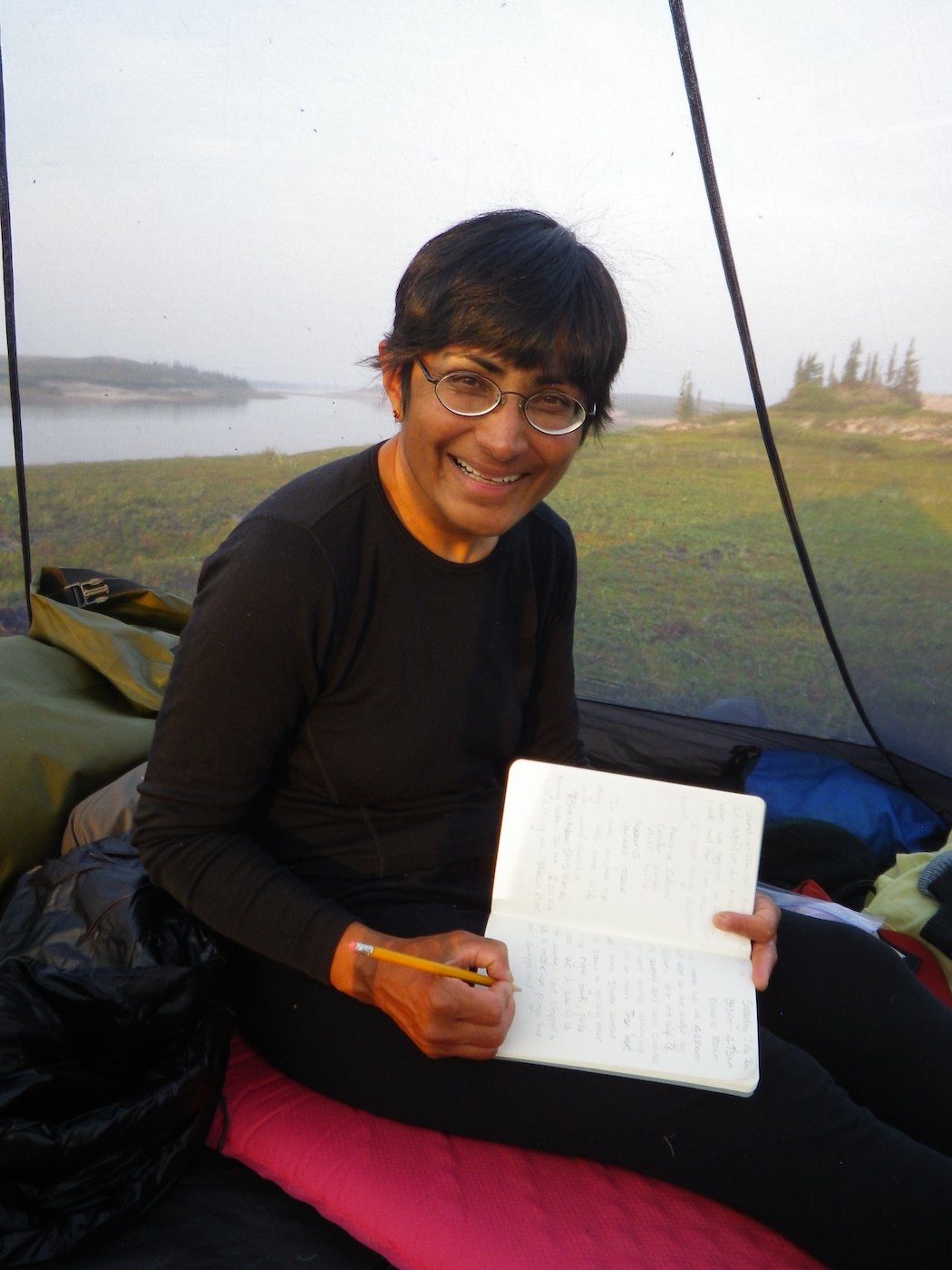
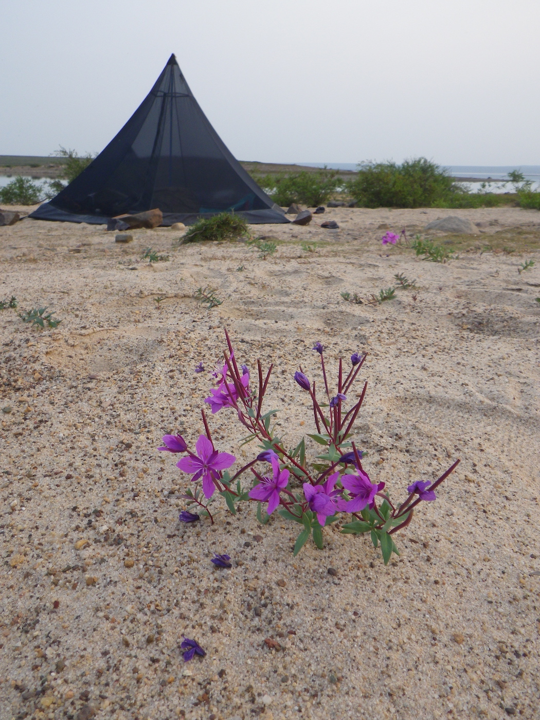
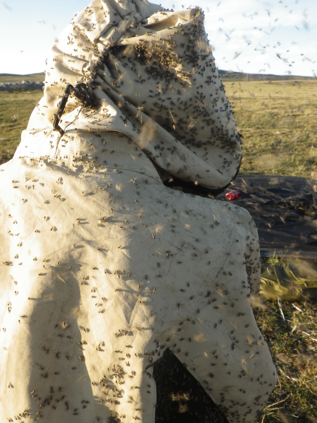
We stopped to camp high above the river on river right. The wind dropped and the black flies came out in force. It was another sweltering, hot, calm evening. Since it was so hot we decided to sleep in our Hex 3 mesh tent. The view from bed was fantastic and the mesh kept the swarms of black flies at bay. Other than the occasional bird and the constant hum of the black flies it continues to be absolutely silent. Still no sign of humans apart from us.
Day 14
Weather: Hot, muggy, buggy, light tail wind in the morning, then strong headwind in the early afternoon, then tailwind again.
Distance: 80 km paddling plus a 6 km hike
Location: Latitude:64.17626, Longitude:-102.46298 at 07/26/2014 17:26:41 PDT
Map link: Click here
We woke at 4.30 am and were on the water, paddling, by 5.15 am. With the help of the current and very light wind we averaged almost 10 km per hour for a couple of hours, then 8 km per hour after that. We were only paddling at a 5-6 km per hour effort level, so the current was quite swift. It didn’t last for ever though.
We saw another grizzly bear on river right, very close to us. It was near the water and we were running along the right bank. We only saw it at the last minute, as we passed it. It seemed as surprised as we were and it woofed and ran away.
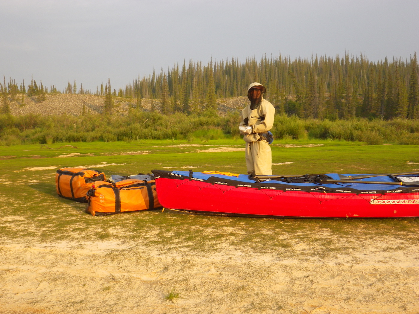
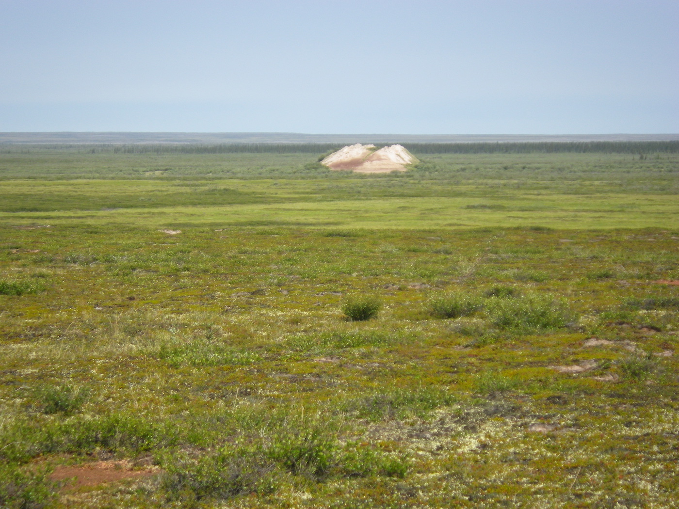
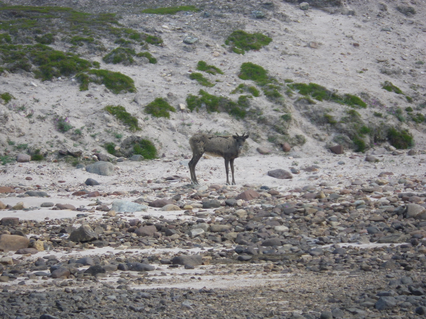
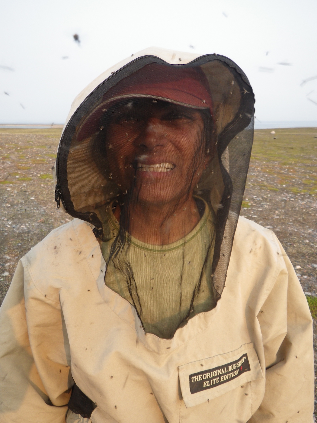
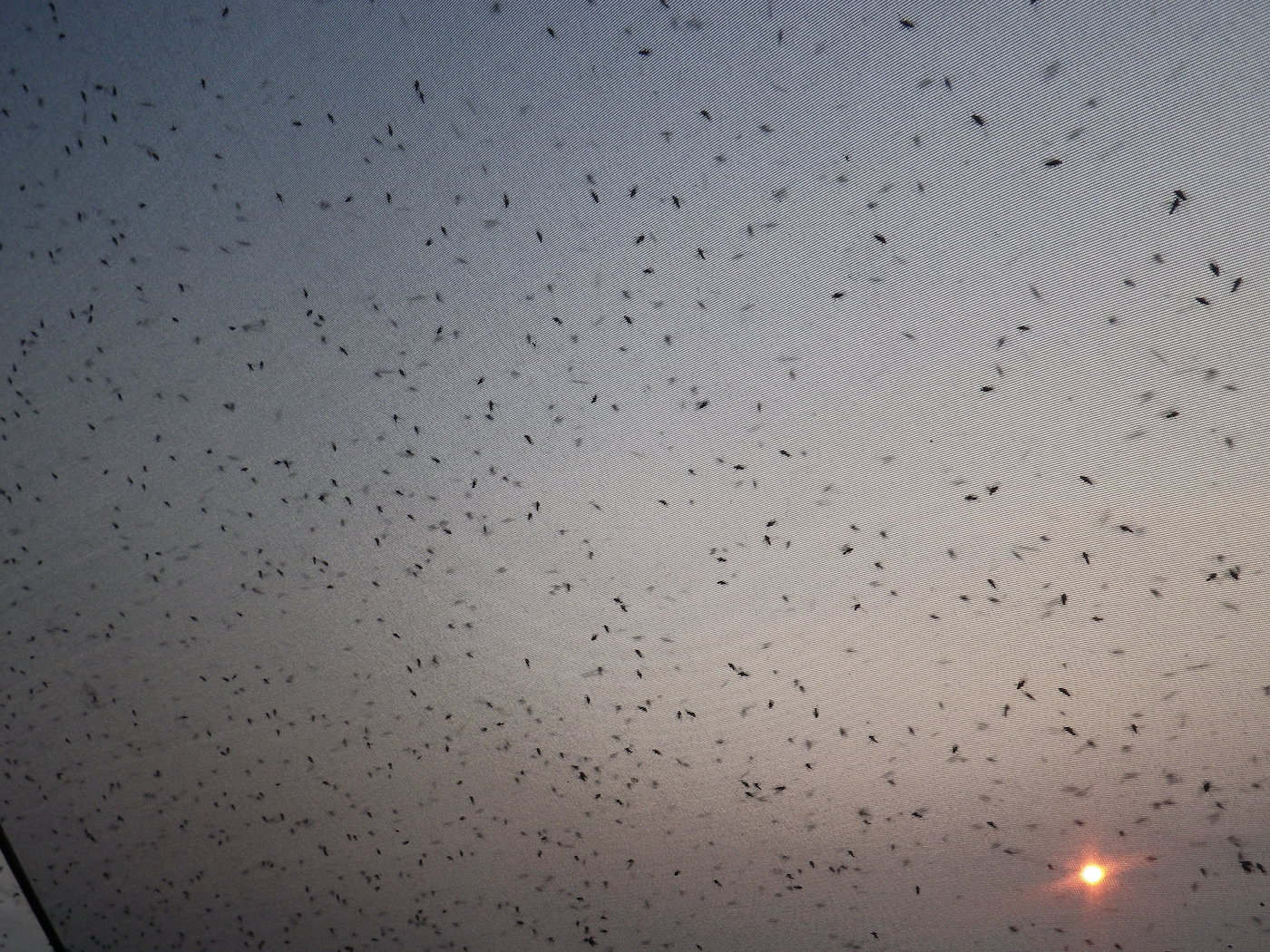
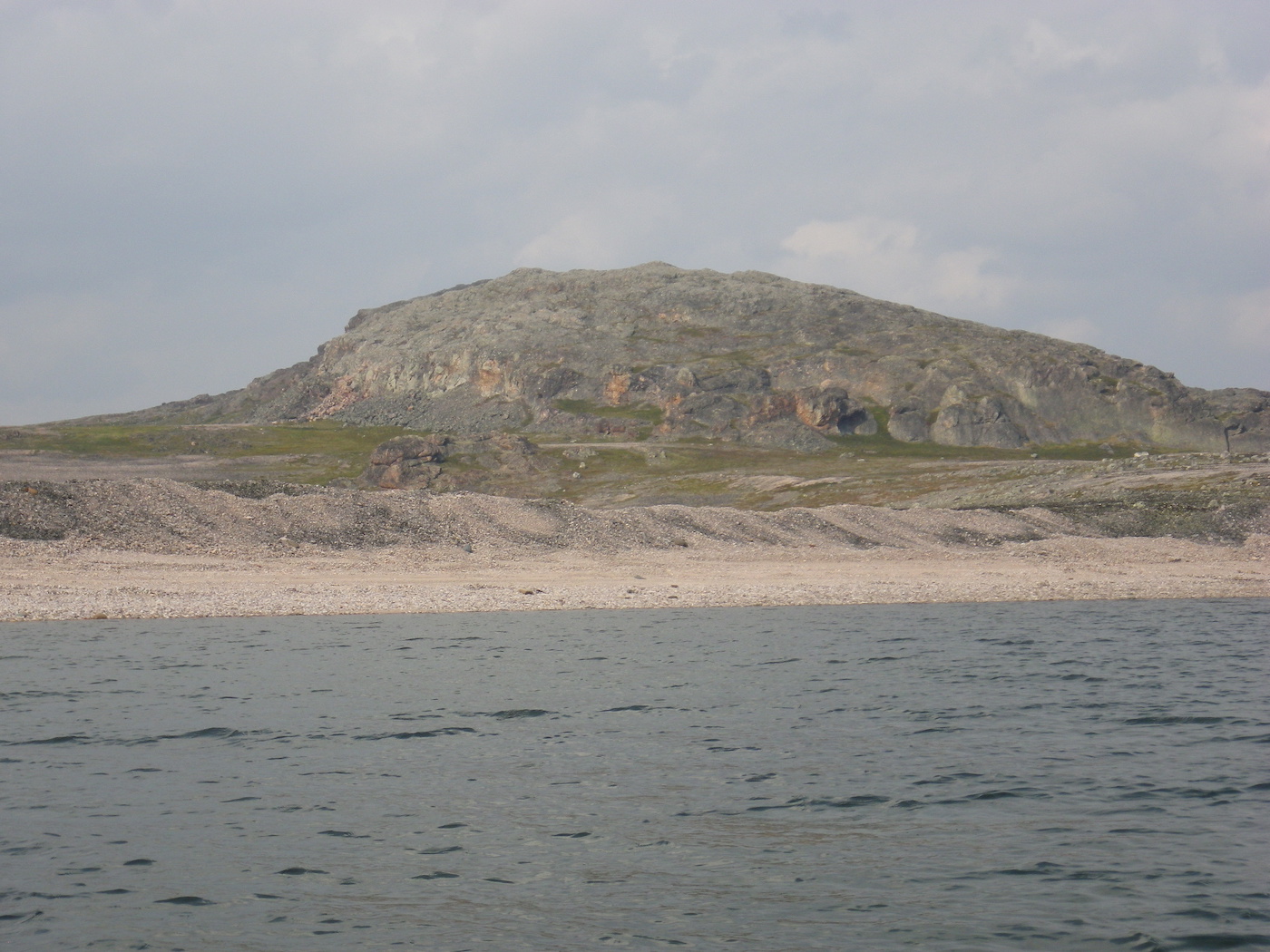
We stopped to hike at Muskox Pingo. We had been told that muskox were common around here and were eager to see some. By this stage we were getting quite disappointed by the relative lack of wildlife. We were several hundred km into the Thelon Wildlife Sanctuary by now and had not seen a single caribou or muskox. The muskox we had seen was near the start of the Hanbury, way outside the wildlife sanctuary. So, we thought we needed to get out and search more aggressively. The hike to Muskox Pingo was a 6 km round trip across the tundra. In places it was quite tussocky and difficult going. It was also very hot and buggy. We found the Pingo and more importantly, managed to find our way back to the canoe afterwards (always carry a map and compass on these hikes!). Unfortunately, we did not see any wildlife whatsoever. We decided to rename this “The Thelon Bug Sanctuary”.
The wind picked up and the river switched direction directly into it for the next 10 km. Without current assistance we probably would have been forced to stop, but we battled through breaking waves for 10 km and then turned to have the wind behind us again for the rest of the day. With the gentle wind and current assist, Kirti was able to take a well-earned break for a while.
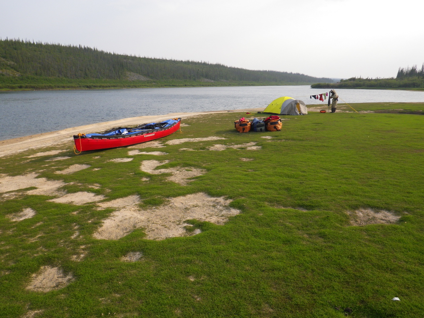
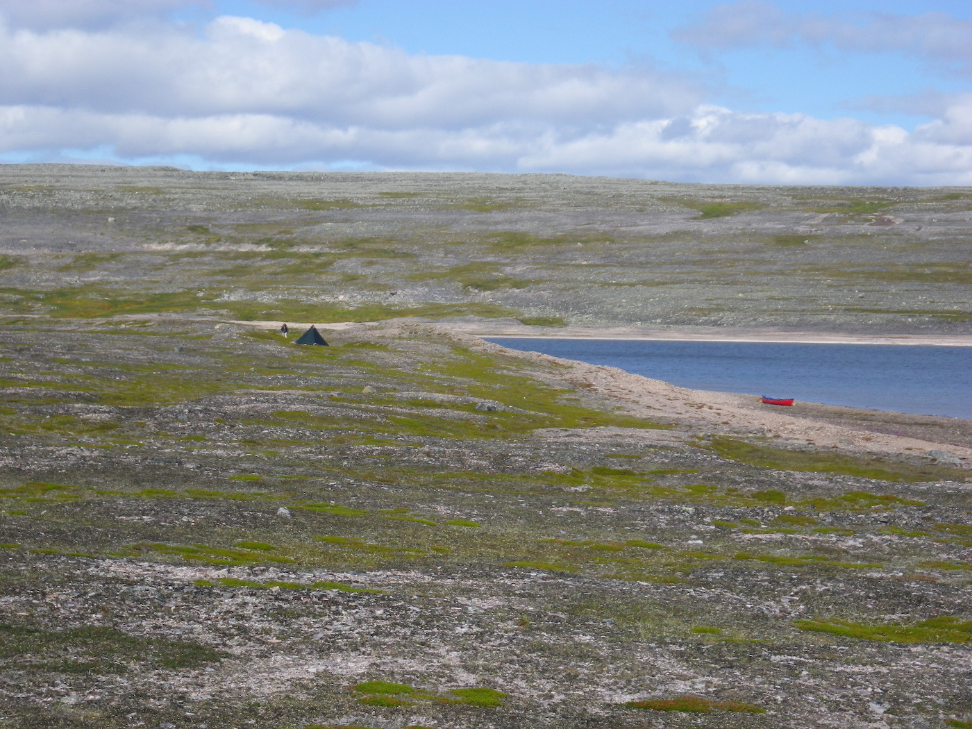
We passed Lookout Point and enjoyed the scenery. We eventually stopped to camp on a beautiful esker with the river and a white sand beach to one side and a lake to the other. This was a beautiful spot. We enjoyed a swim in the river. The water temperature was perfect. Since the weather was so hot we decided to sleep in our mesh tent again. It was lovely lying in bed looking at the sunset and watching for wildlife.

Day 15
Weather: Sunny, hot, light wind.
Distance: 85 km
Location: Latitude:64.52709, Longitude:-101.25607 at 07/27/2014 20:55:09 PDT
Map link: Click here
Once again it was a hot, sunny day. We were on the water before 6 am. There was good current for the first few km and we ate breakfast while floating effortlessly down stream. The river bed looked beautiful speeding by below us through crystal clear water. We had decent current for most of the day, but not always. There were also some still pools that lasted several km at a time.
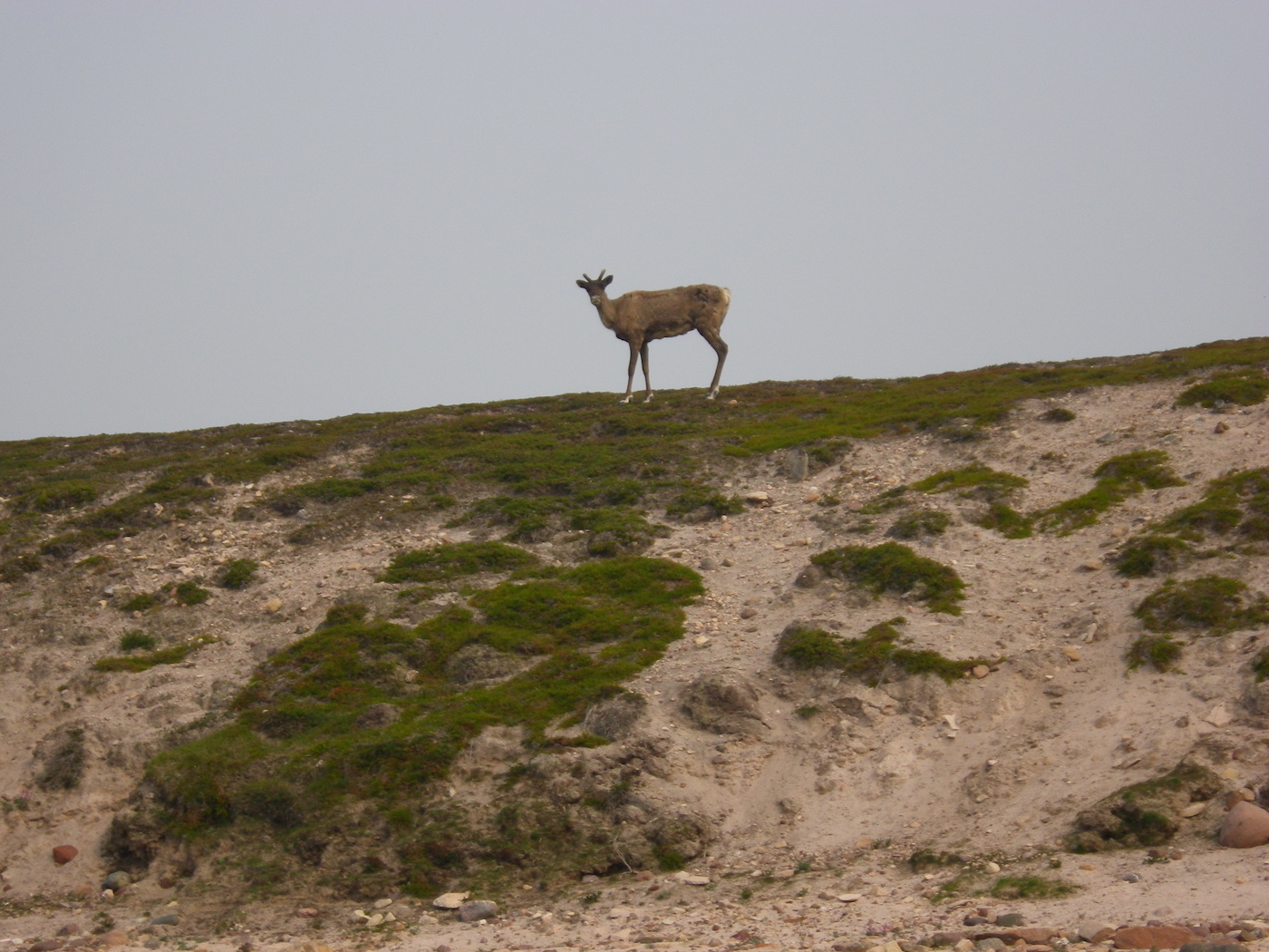
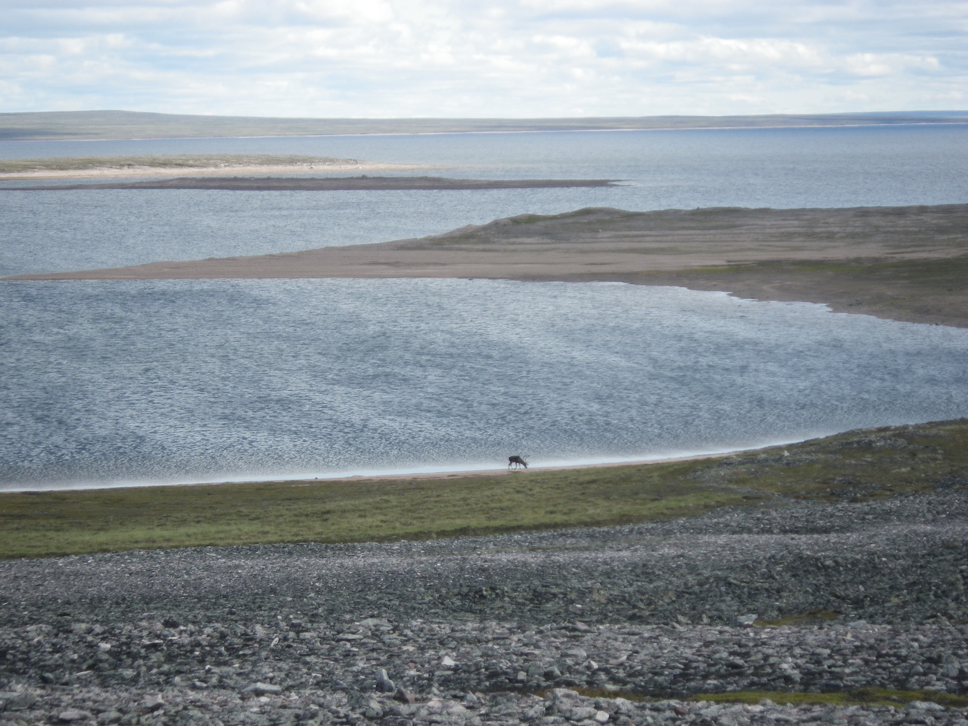
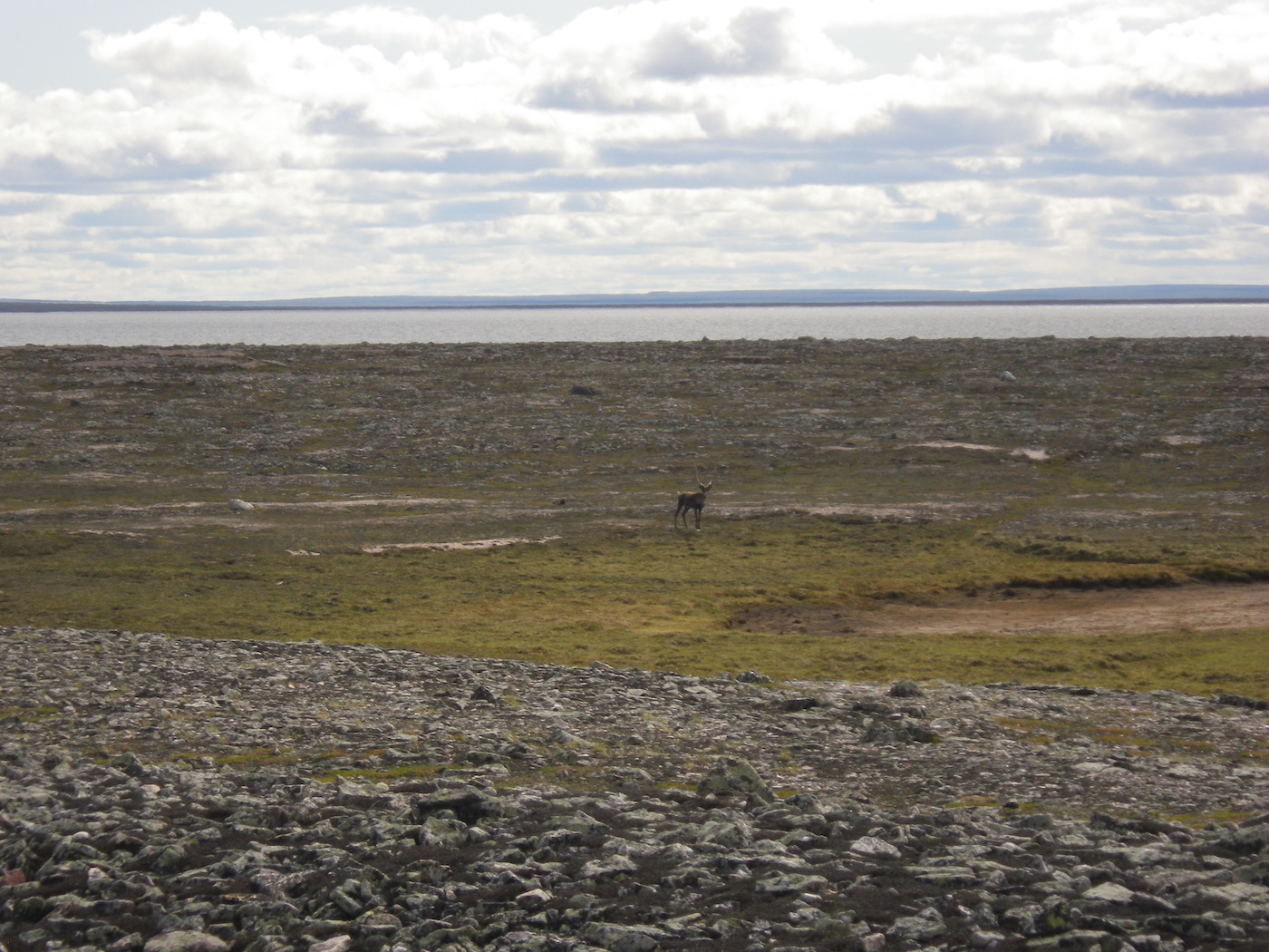
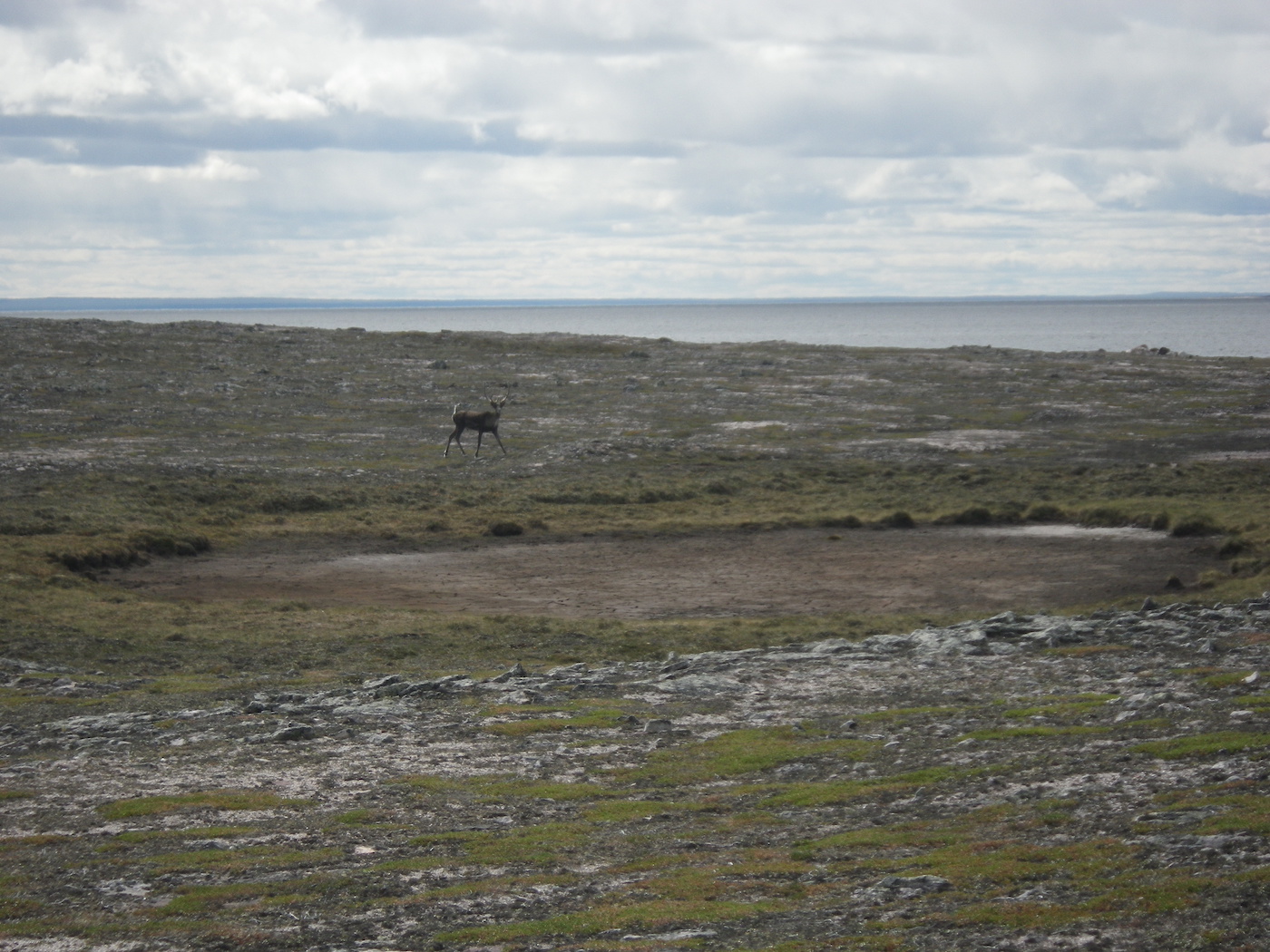
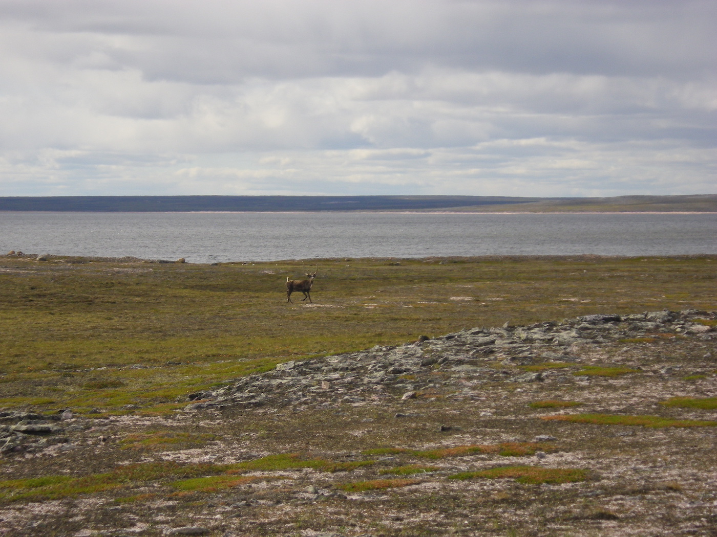
Finally, we saw a caribou. It was just a lone animal, but it would have been embarrassing to paddle almost 1000 km through one of the largest wildlife sanctuaries in the world without seeing a single caribou. We were relieved. It looked pretty miserable though, being plagued by millions of black flies. We knew how it felt.
Early in the afternoon we saw our first people of the trip: a group of four canoeists, in two canoes, from Fort Smith, NWT – Adam, Hillary, Elena and Jonah. We stopped to chat and share their enormous bug shelter for a few minutes. They had come down the Elk River before joining the Thelon and were also planning on paddling all the way to Baker Lake. After our stop with them we paddled another 4 hours around Ursus Island and finally stopped around 7pm.
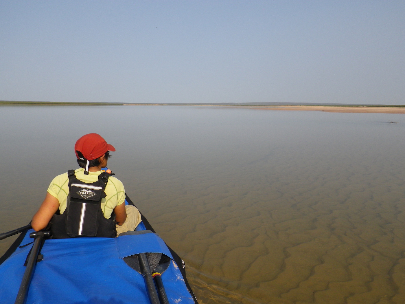
Ursus Island was spectacularly flat and low-lying, especially at its downstream end. The massive sand spits and huge expanses of shallow water merged into one with the sky and it was dizzying trying to focus on anything. It became impossible to judge distance or even see the boundaries between water, land and sky. It was quite disconcerting, but beautiful in an other-worldly kind of way.
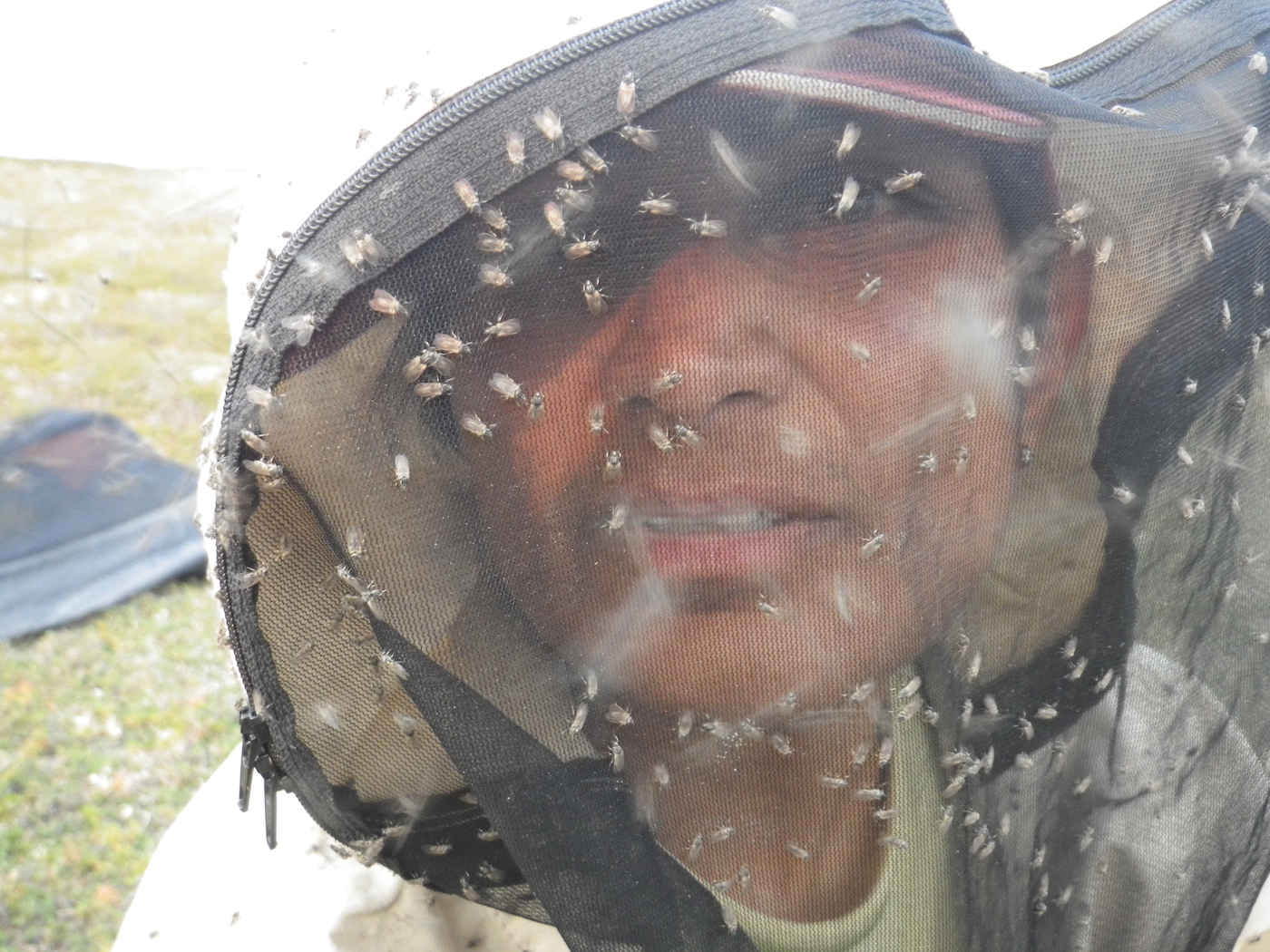
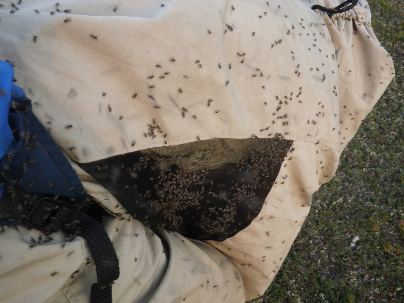
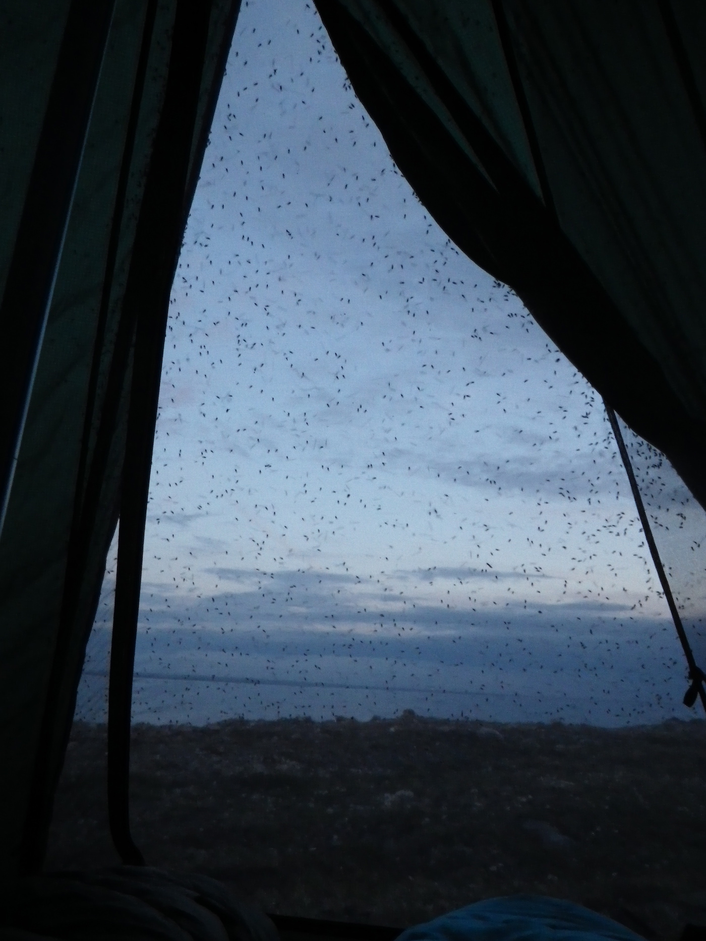
We are camping near Thelon Bluffs. The black flies are horrendous, swarming and crawling on everything. Despite our best efforts, thousands have found their way into our bug shelter and we are having to spend most of an hour hunting them down and killing them before we can relax. Kirti has vowed to NEVER come here again!


Day 16
Weather: Very hot, calm, muggy and buggy
Distance: 55 km
Location: Latitude:64.58147, Longitude:-100.42728 at 07/28/2014 16:08:33 PDT
Map link: Click here
We had another early start and were on the water before 6 am. We paddled through an easy class 2 rapid at Thelon Bluffs, then paddled with the current to the start of Beverley Lake. There was a huge estuary area approaching Beverley Lake with extensive sandbars. It was quite tricky navigating in order to stay in the deep channels. For the past two days we have been dive-bombed by sea gulls protecting their nests.
We crossed to the South shore of the lake and hand railed along that shore for a few hours. It was hot, muggy, and calm again. The barometer has been steady for the past 6 days. We decided to push in order to get past the exposed part of Beverley Lake before the wind got up. We eventually stopped to camp on a small island at the east end of Beverley Lake. We had to go into the water multiple times to cool off.

Day 17
Distance: 45 km
Location: Latitude:64.61521, Longitude:-99.74786 at 07/29/2014 15:27:11 PDT
Map link: Click here
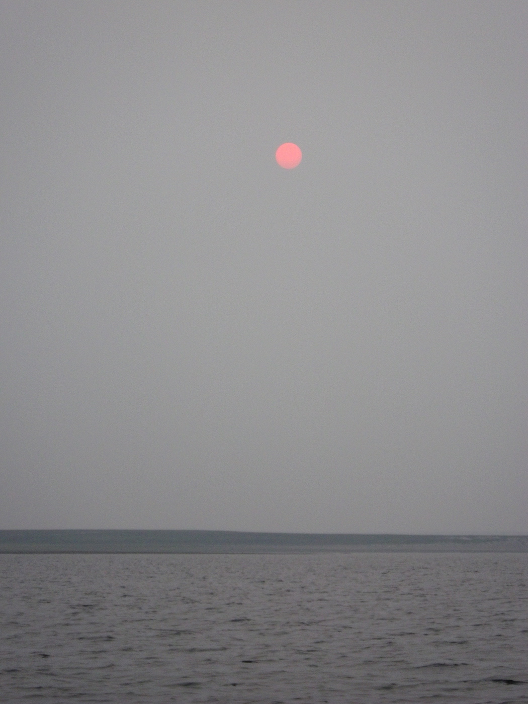
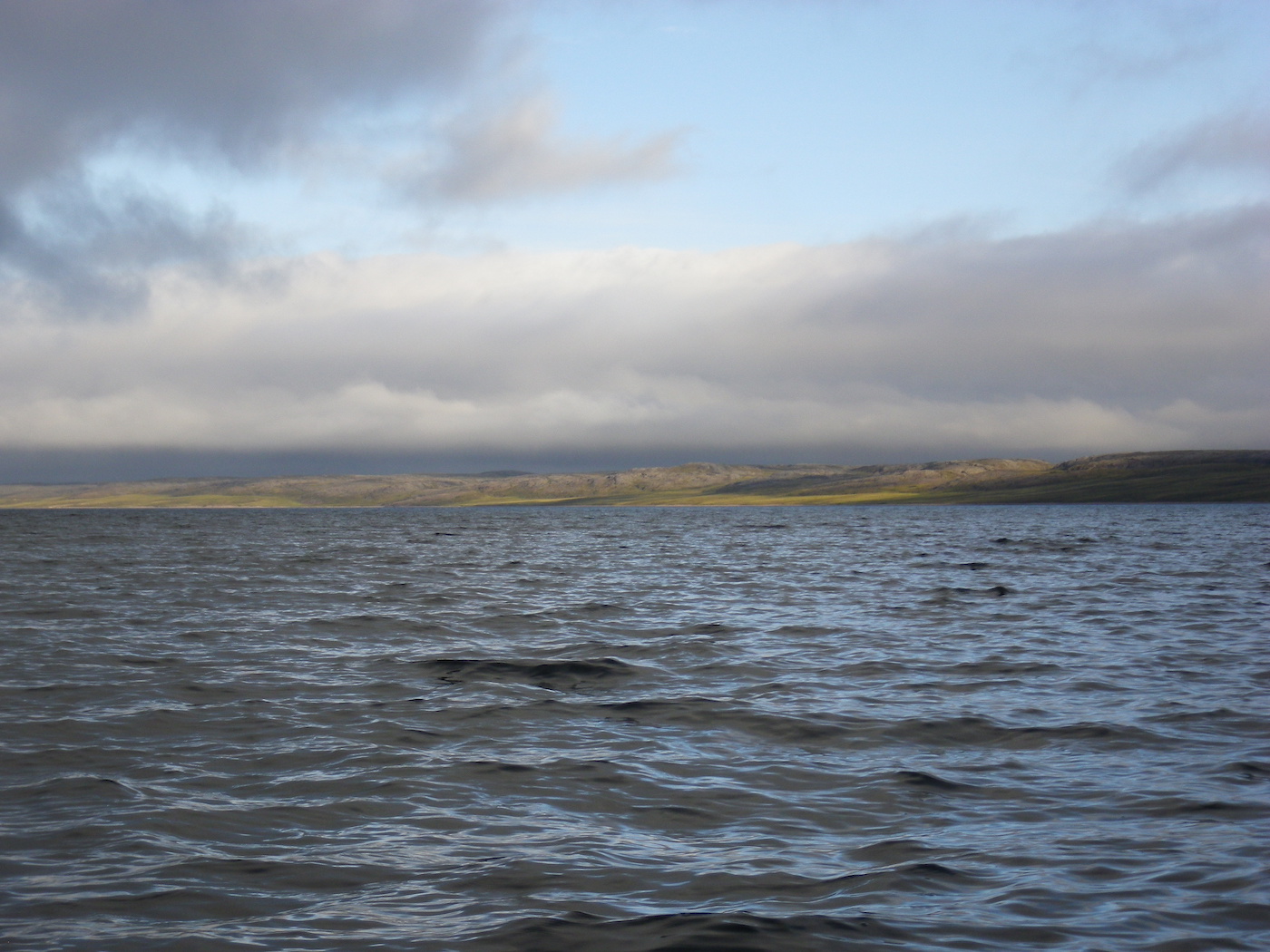
The weather was calm, hot, muggy, buggy and smokey yet again. We started paddling at 6.50 am and navigated through a maze of islands that is marked as the Thelon River, but is really an island filled lake. Most of our journey was not very exposed.
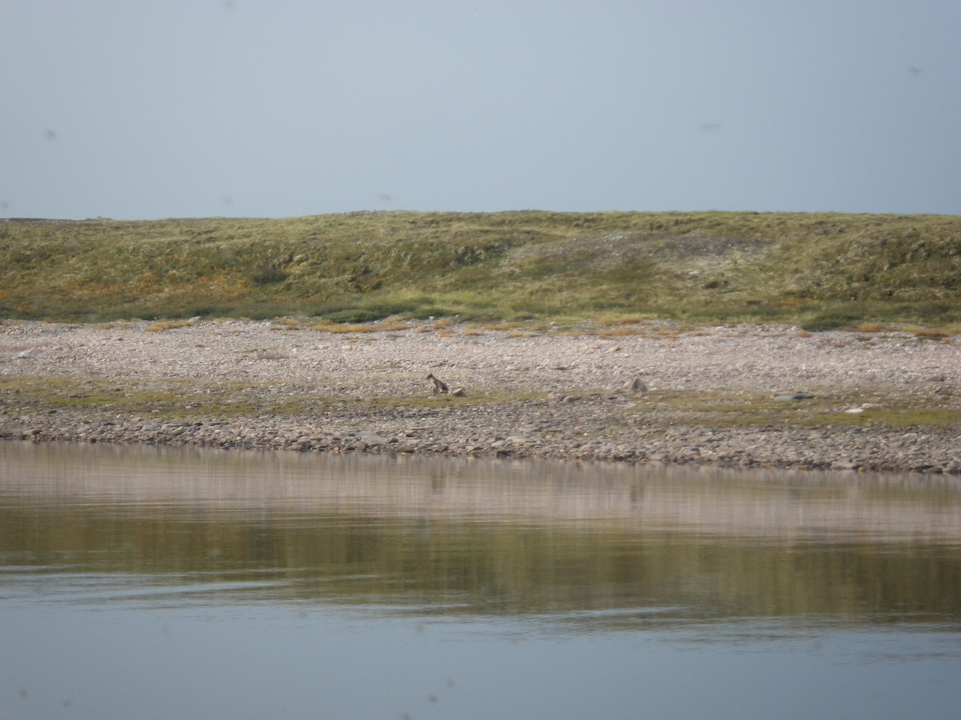
We ended the day at the start of Aberdeen Lake, which is a huge lake. It feels more like the sea than a lake. We saw two caribou, two arctic hares, some loons, sea gulls, eagles and arctic terns. The hares are enormous, like gigantic bunny rabbits.
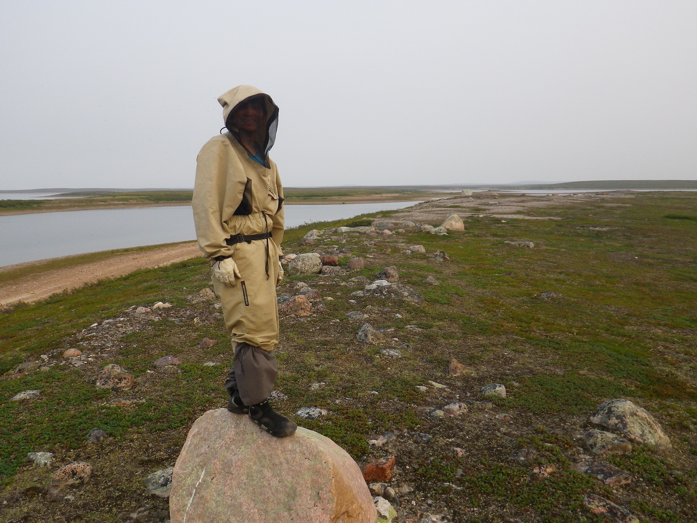
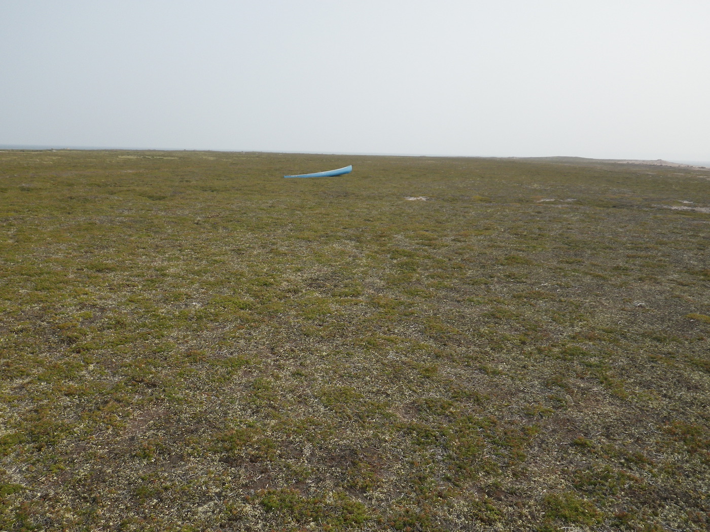
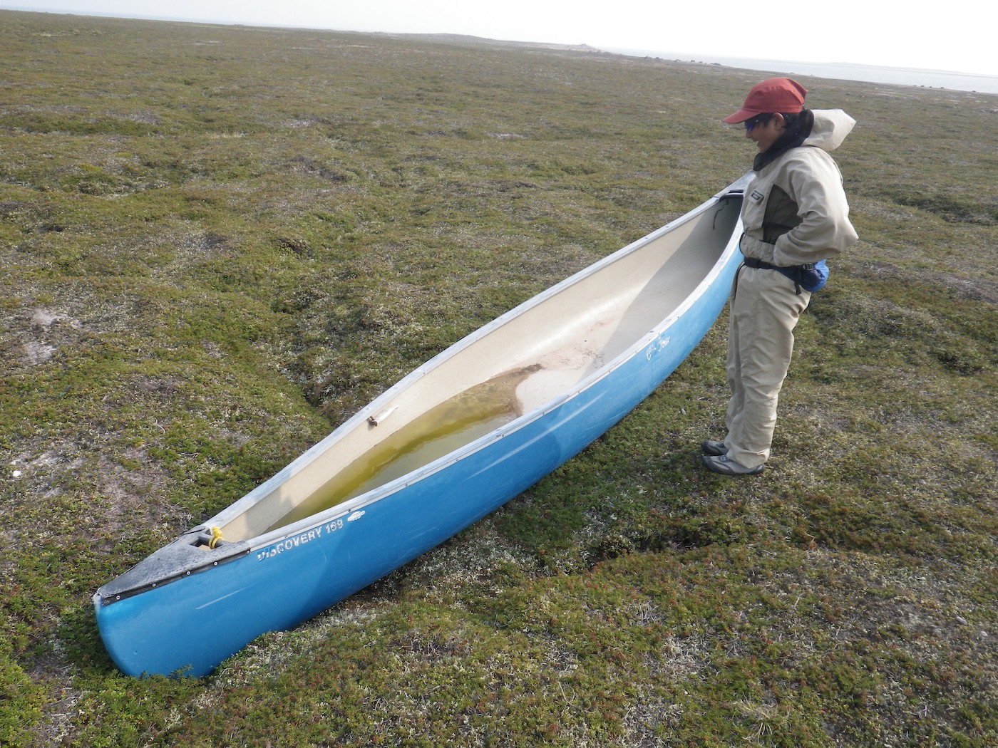
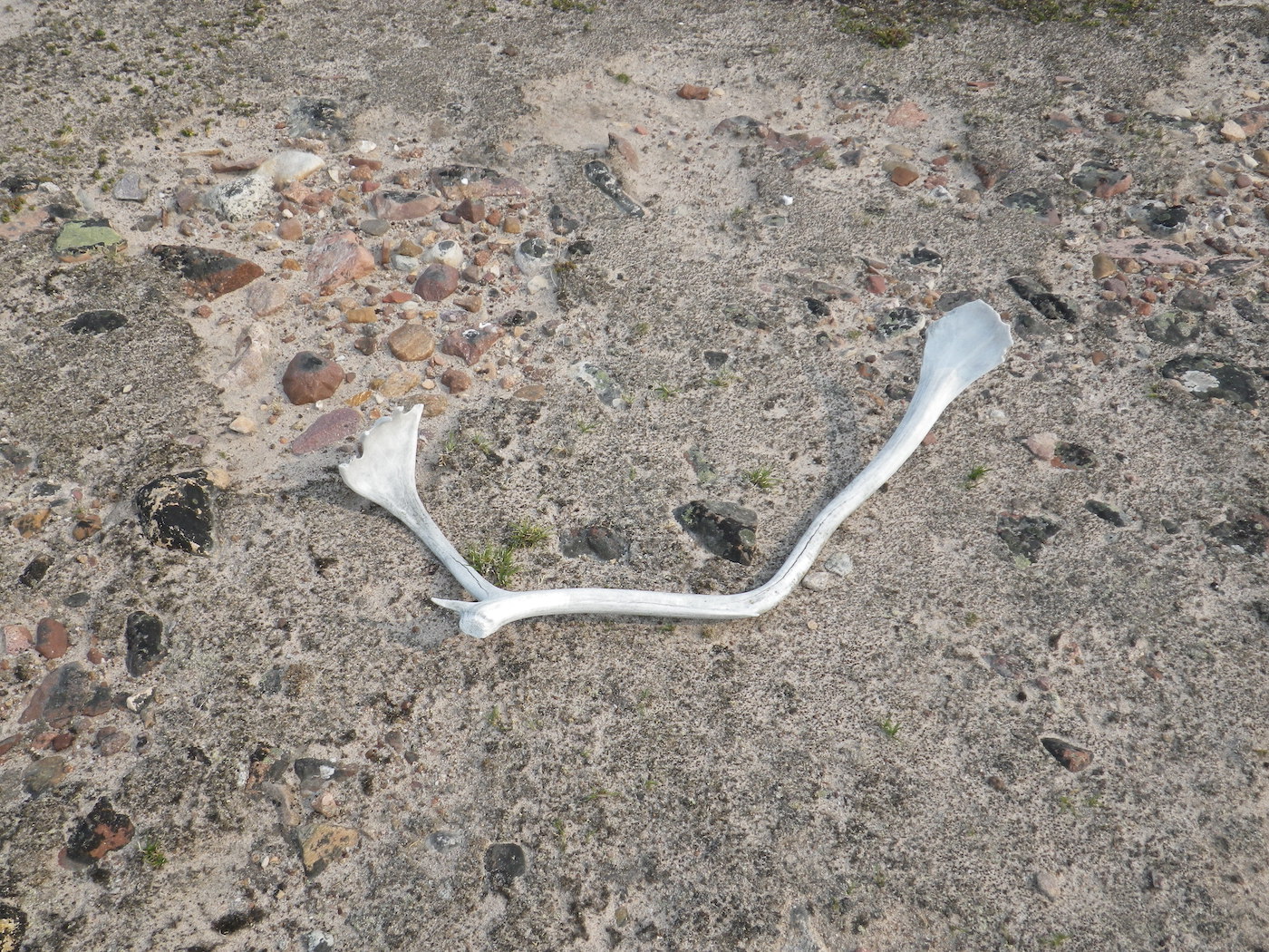
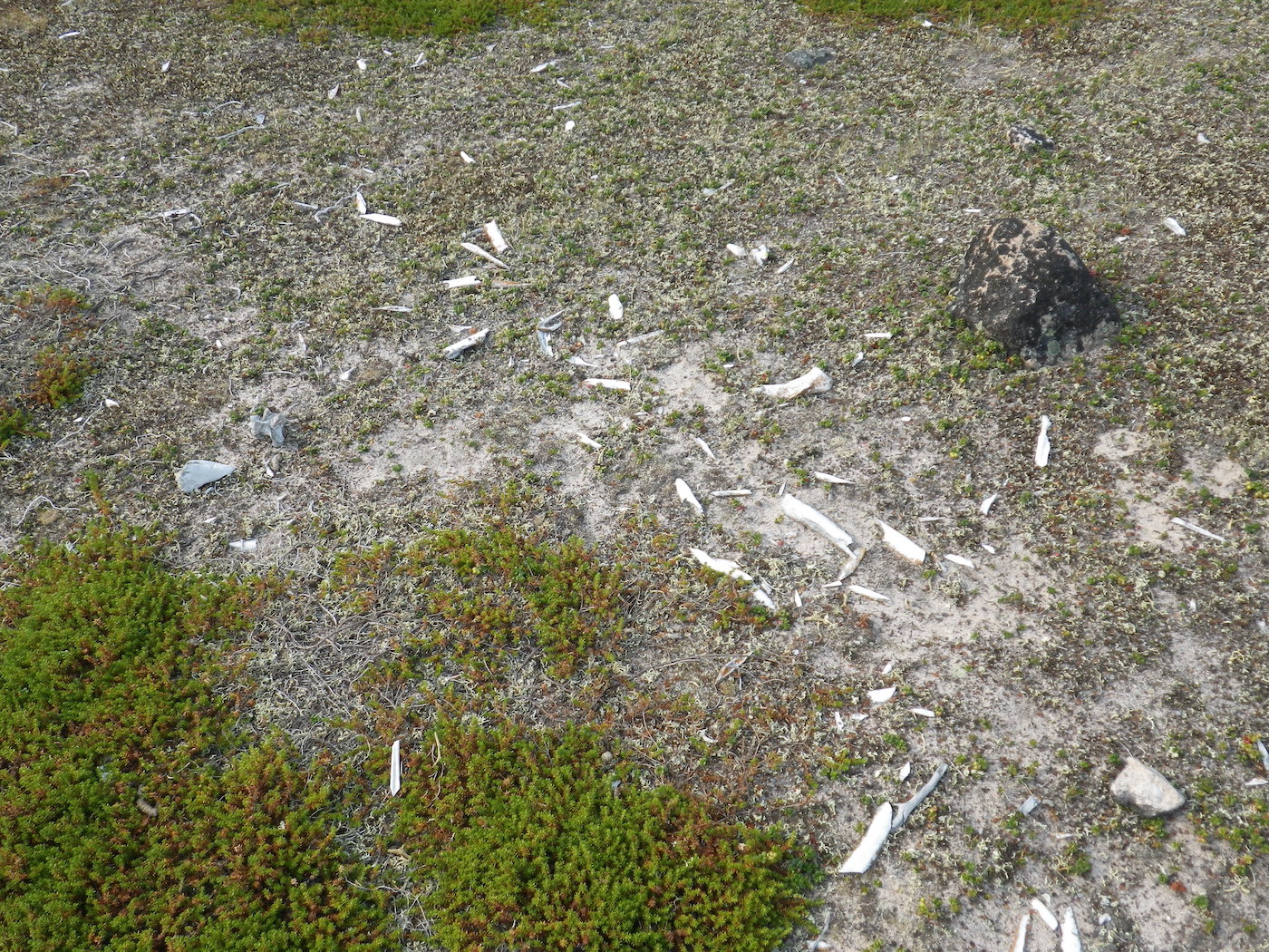
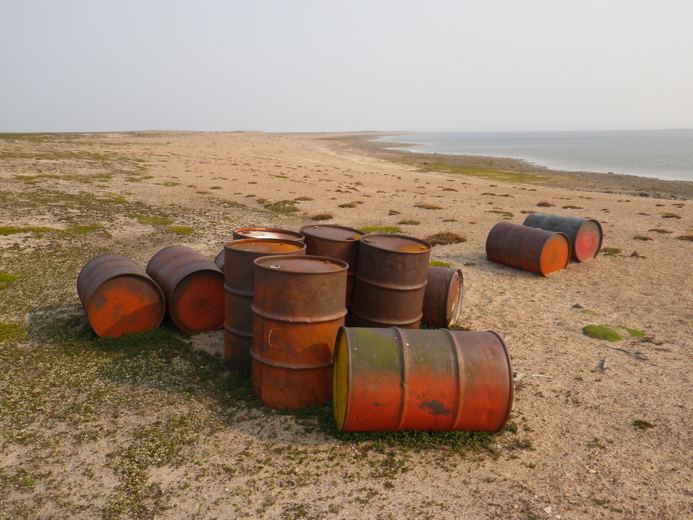
We are camped on the tundra at the start of a peninsula. We walked out to the end of the peninsula in the evening, a round-trip distance of 6 km, and saw several tent rings and signs of older native settlements. In many of these areas there were a lot of broken caribou bones. We also saw several dumps of steel fuel drums, dozens of them, and one abandoned canoe out in the middle of the tundra.
Day 18
Weather: Smokey, hot, moderate wind and swell from the South, getting stronger by mid day
Distance: 49 km
Location: Latitude:64.53829, Longitude:-99.00211 at 07/30/2014 19:55:27 PDT
Map link: Click here
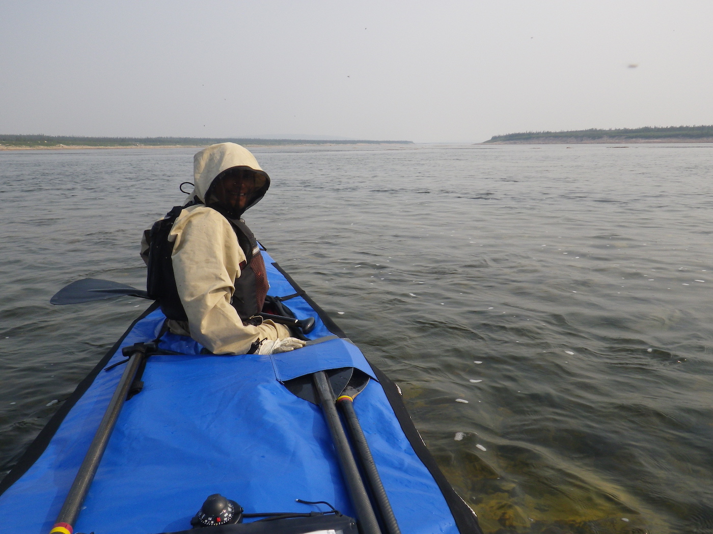
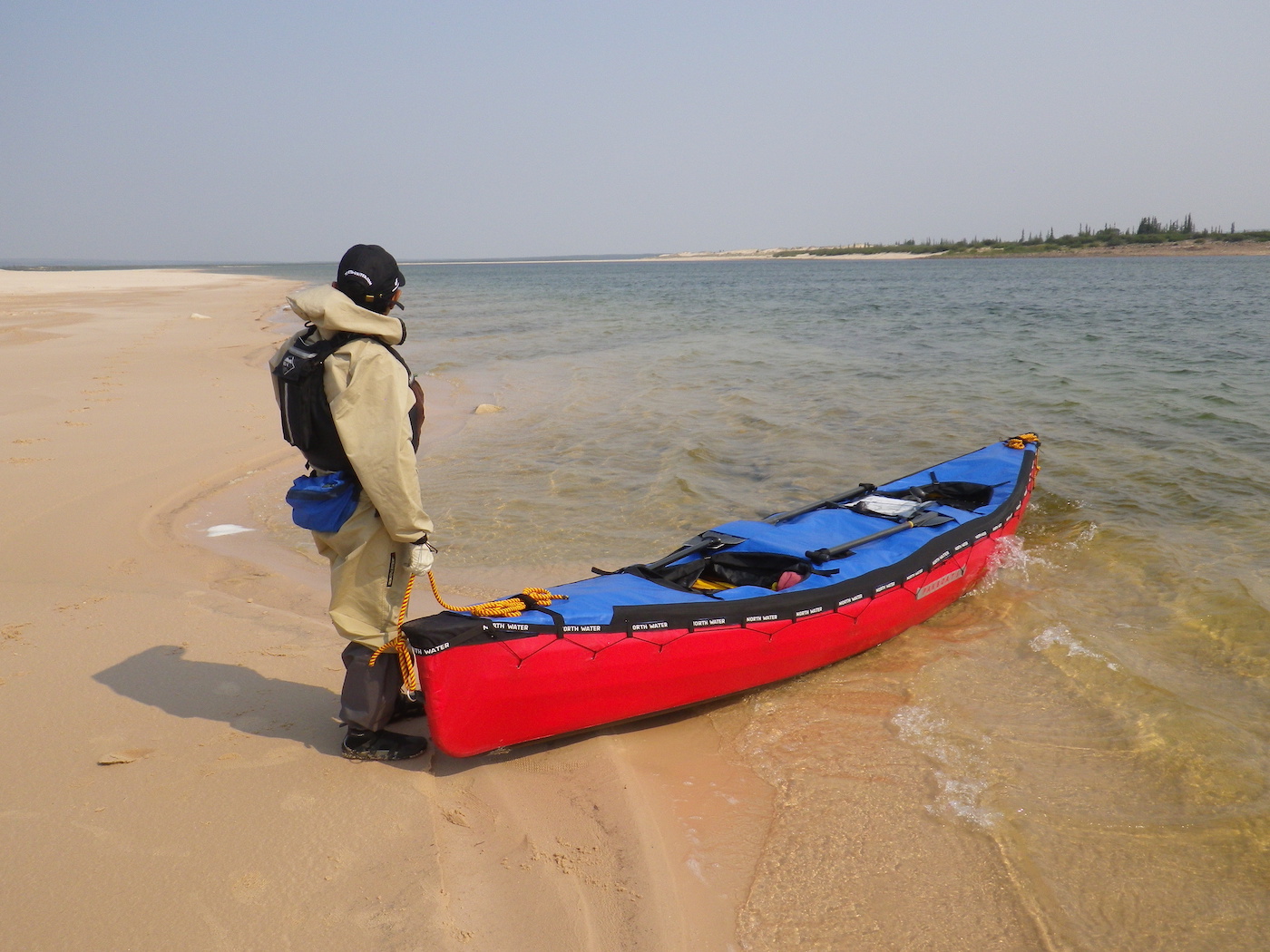
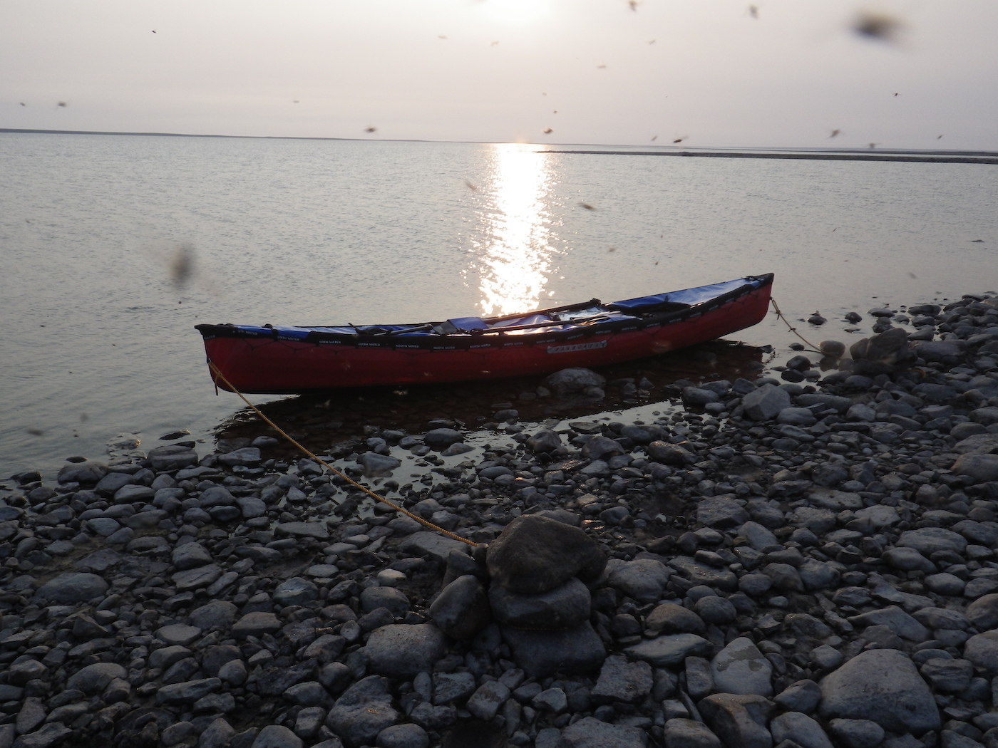
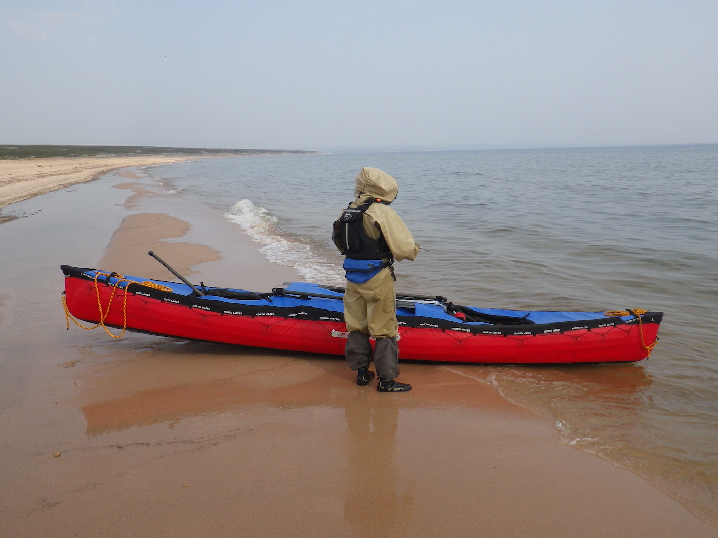
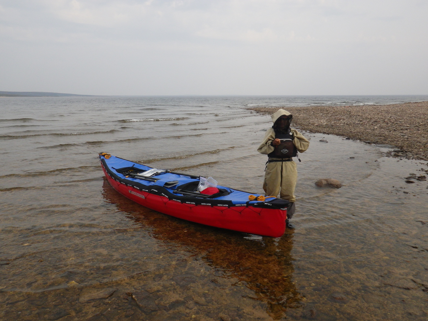
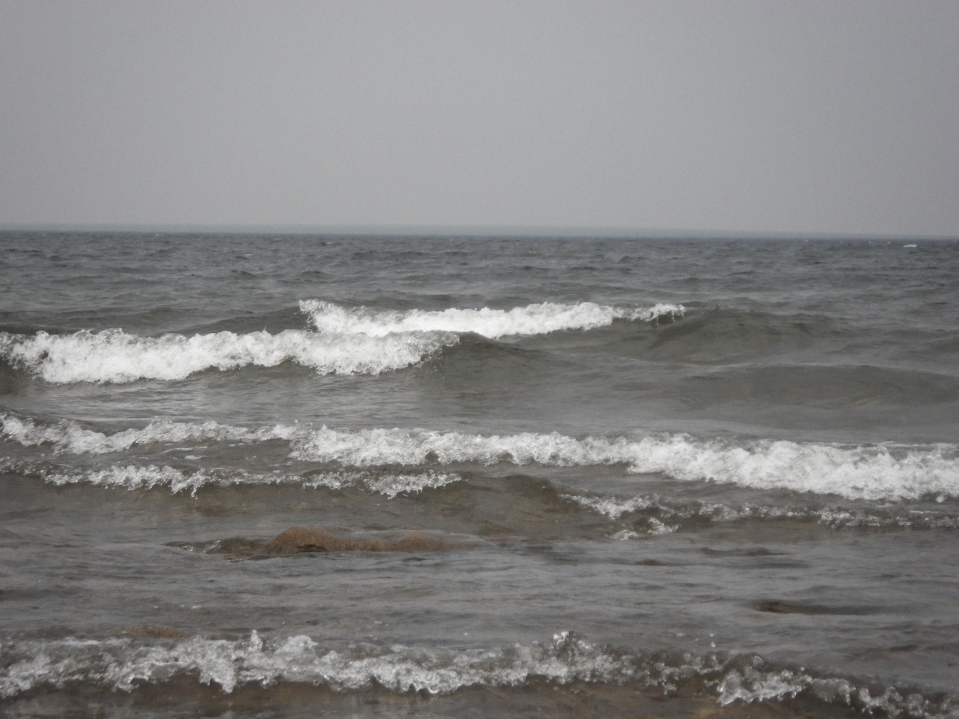
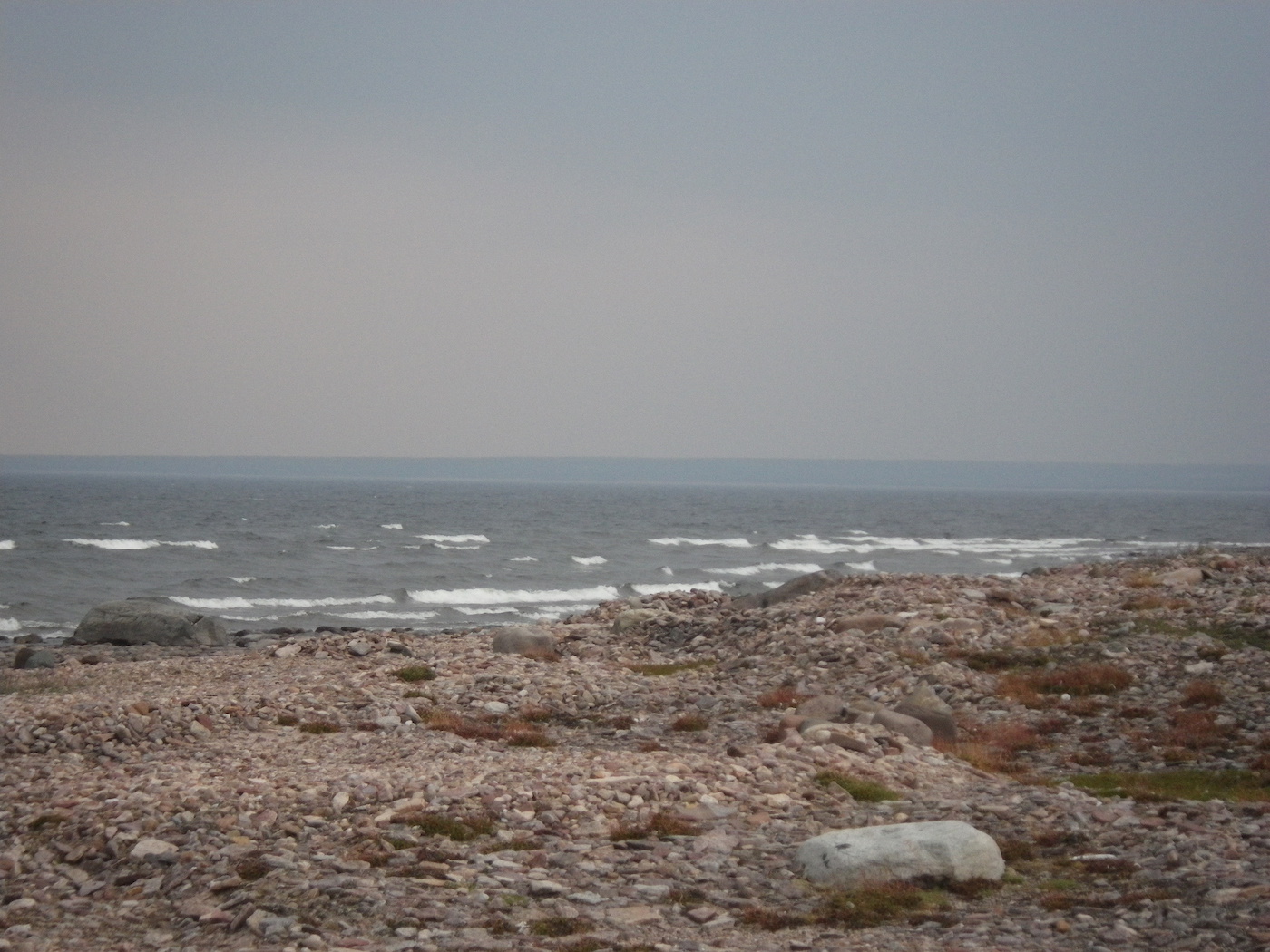
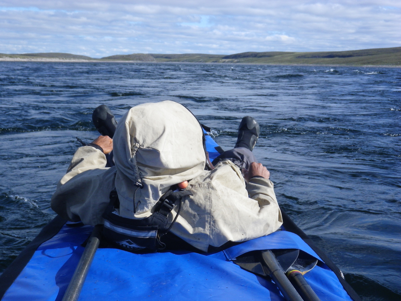
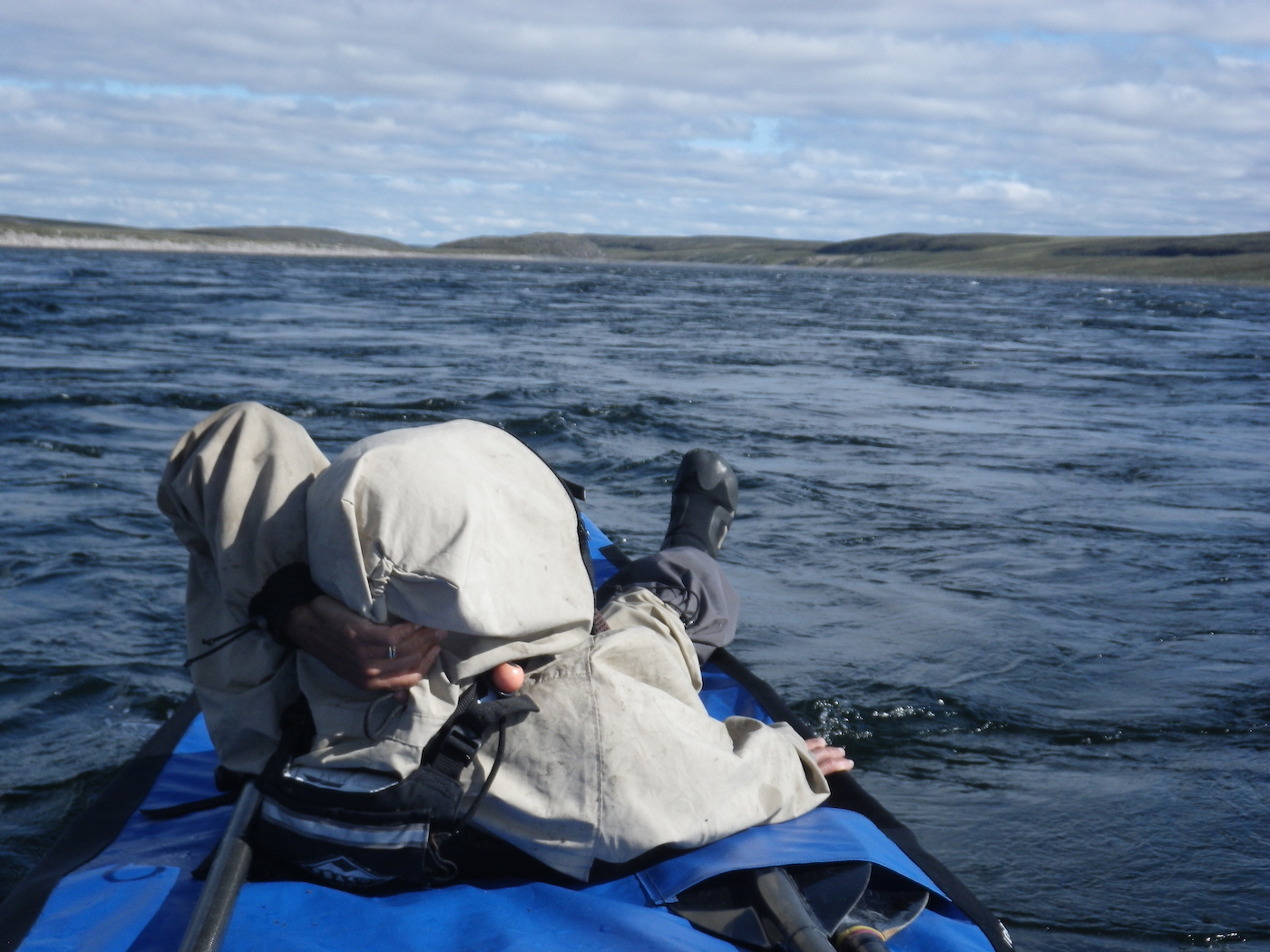
We got up early and were on the water by 3.45 am today. This was motivated by the prospect of paddling a very large expanse of exposed coastline. The wind and waves were coming from the south (on shore) and there was a 2+ foot swell rolling in. It was foggy or smokey or both and it felt much more like sea kayaking than river or lake canoeing. As experiences sea kayakers we felt at home in this environment, but couldn’t help feeling that we were in the wrong craft for this. A canoe is too slow, too vulnerable to breaking waves, and has too much windage for exposed open water paddling.
The north shore of Aberdeen Lake is very shallow, with gravel and boulder bars extending out from shore 1 km or more much of the time. This meant that the south swell was steep and breaking quite far out from shore, so we had to paddle well away from shore in places. This made us quite exposed to sudden changes in wind direction (i.e. a wind from the north). The lake is huge and it was not possible to see the southern shore, even from high on the north shore.
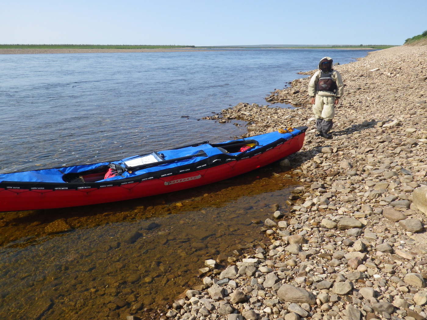
Kirti found the conditions very challenging, with large waves from the side and intermittent surf and shoaling areas. The shallow areas also created a lot of hull-drag and made our progress slow. The wind picked up and it was hard to make any progress. At 10.30 am we decided to stop. We set up the tent to protect us from the bugs, which were surprisingly aggressive given the wind. We stopped here for several hours and had a meal and a snooze. We found a bird tag on the beach and saw another caribou.
The wind dropped slightly by mid afternoon and we decided to break camp and push on, given that we had about 60 km of exposed coastline to negotiate. We paddled for another 3 hours and covered 14 more km. It was difficult to find a good camping area as the shore was very low lying and the water level seemed to have recently dropped, so there were extensive wet, mossy, muddy areas.
Eventually, we found a camp. The black flies were horrendous – the worst yet. Without the bug shelter we would be eaten alive. Kirti reiterated her conviction to never come to the Thelon again.


Day 19
Weather: South swell, southwest wind, cloudy, then gale force northerly wind in the afternoon with thunderstorms and heavy rain
Distance: 30 km
Location: Latitude:64.60681, Longitude:-98.49957 at 07/31/2014 17:43:03 PDT
Map link: Click here
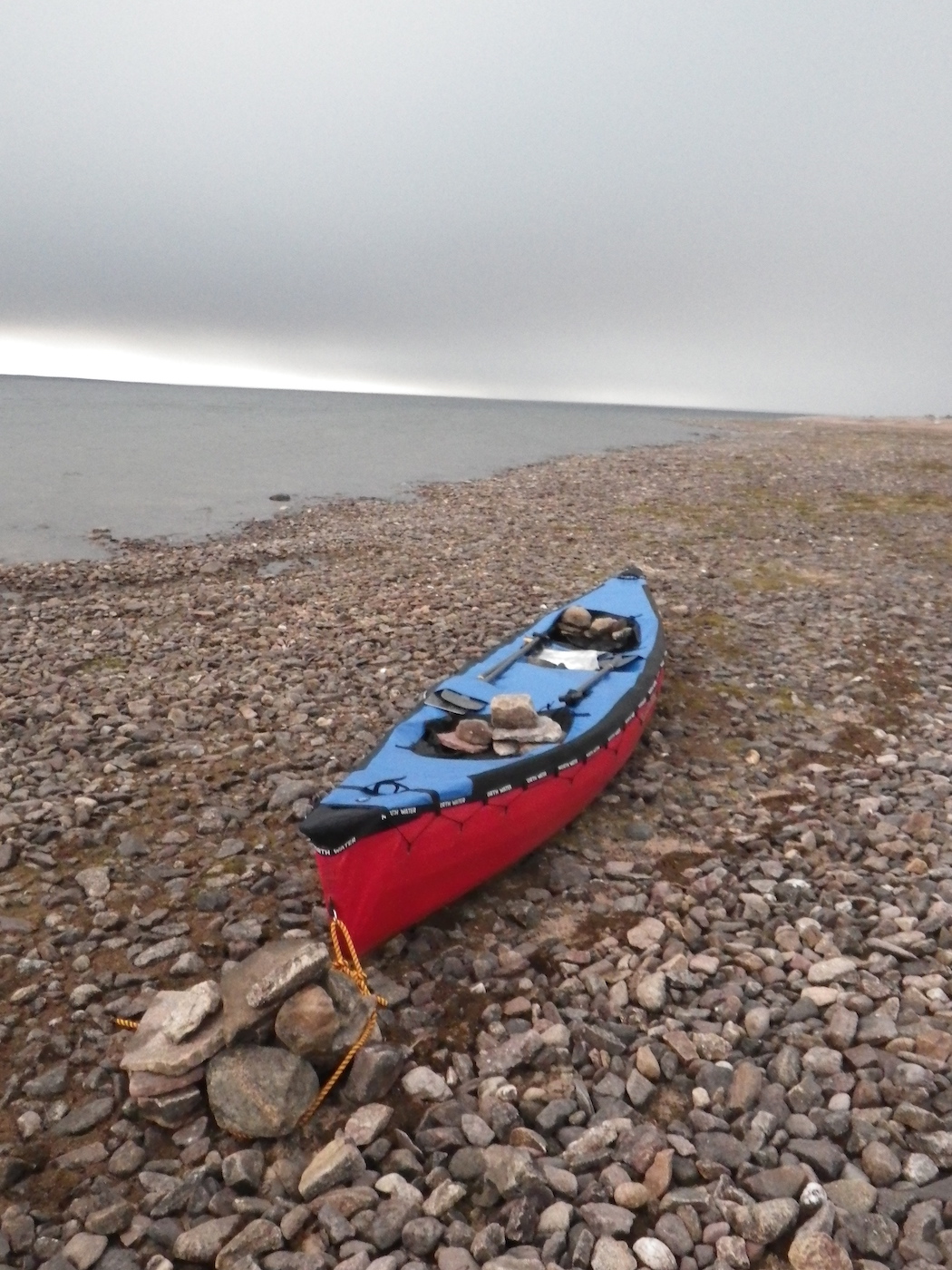
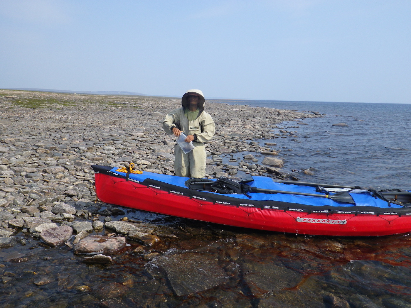
We started late this morning, around 10.45 am, because we were waiting for the surf to subside. We had 2+ feet of swell and wind waves out of the south. Launching through dumping surf is a bit tricky in a canoe. Its definitely not the optimal craft for these conditions. With wind and waves from the side, paddling on course required a lot of correction from the stern. The PakCanoe has a strong tendency to weathercock, which is generally a good characteristic for a rough water boat, but it requires continuous management by the stern paddler. Fortunately, the canoe is very stable and reassuring in bigger seas. We stopped a couple of times for a rest, but each stop required a surf landing and subsequent launch. These are complicated by the fact that the loaded PakCanoe can not be slid up or down the shore like a hardshell, so doing a tandem launch in dumping surf was hard.
By about 4pm the wind seemed to be calming down, but within 15 minutes an intense north wind started to blast across the lake. It was gusting 35 to 40 mph within minutes. Fortunately (and not be chance) we were close to shore and were able to land. If we had not been close to shore we would certainly have been blown off shore. As it was, even the last 50 m to shore was a hard battle. This was scary.
Once we landed we quickly searched for a sheltered spot to camp. As usual for the tundra, there weren’t any real sheltered spots, but we found somewhere acceptable. We left some bags in the canoe and piles rocks into it too to prevent it from blowing away. This was in addition to tying off the bow and stern. Next we searched for two dozen large rocks to pile on top of our tent stakes. We also built a barrier of bags and rocks on the upwind side of our tent. Even though it was only a foot or so high, it helped deflect the blasts.
Once we had secured everything we retreated into the tent and snuggled down just as the thunder and lightning started and the rain began to thrash the tent.
Our 30 km today were hard earned. We have only 5 km left before the end of the exposed section of Aberdeen Lake, but it was not possible to make it given the conditions. It is interesting to note that just like the day before the last storm, the bugs were particularly insane yesterday. After its precipitous drop, the barometer has started to rise slightly.

Day 20
Weather: Sunny, windy. Distance: 0 km
Location: Latitude:64.60683, Longitude:-98.49954 at 08/01/2014 14:42:29 PDT
Map link: Click here
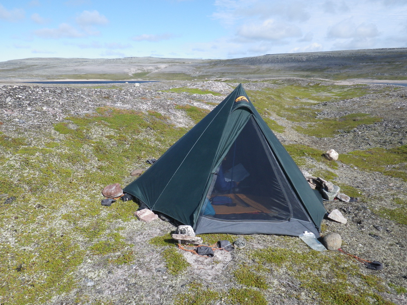
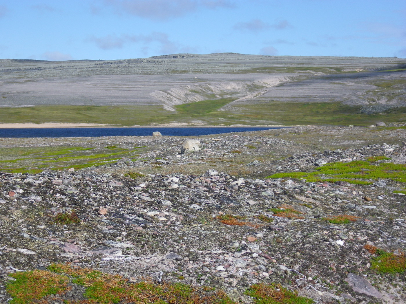
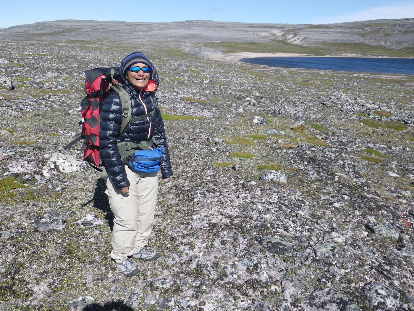
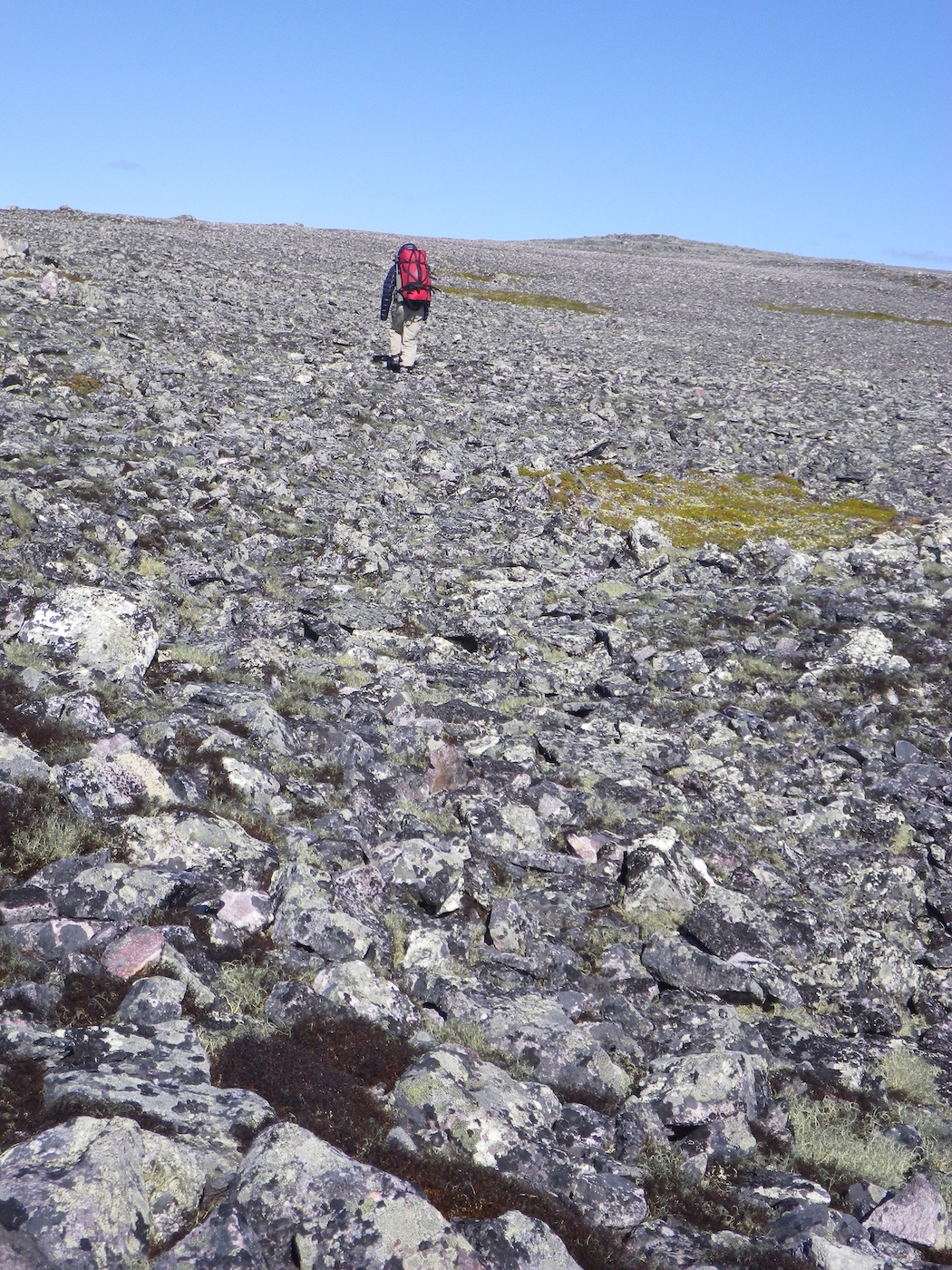
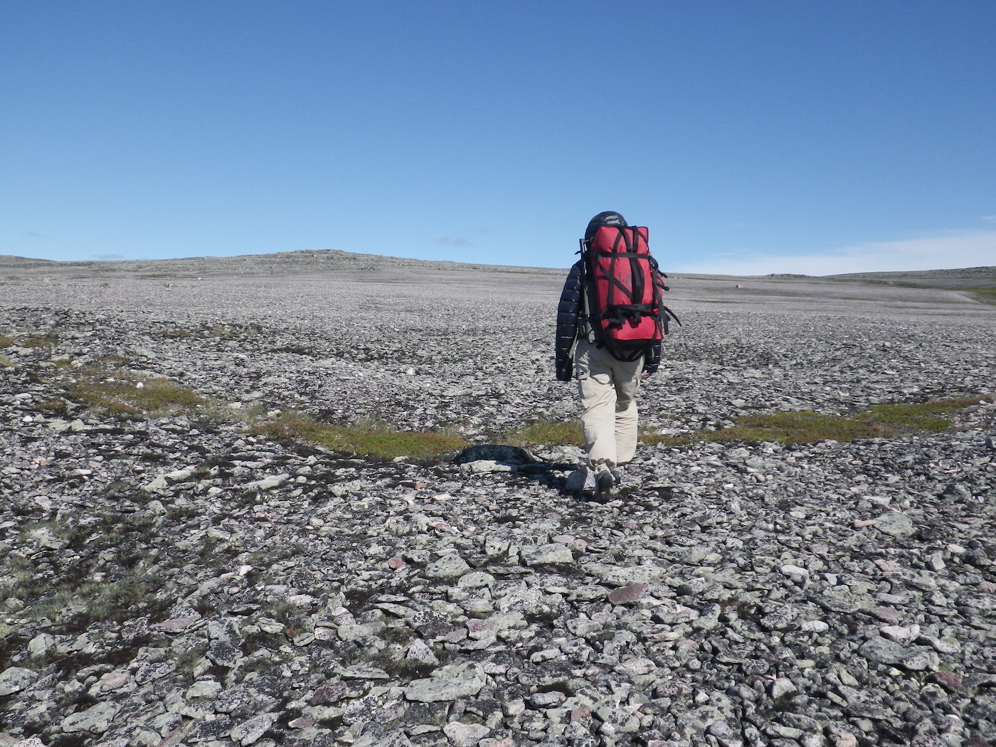
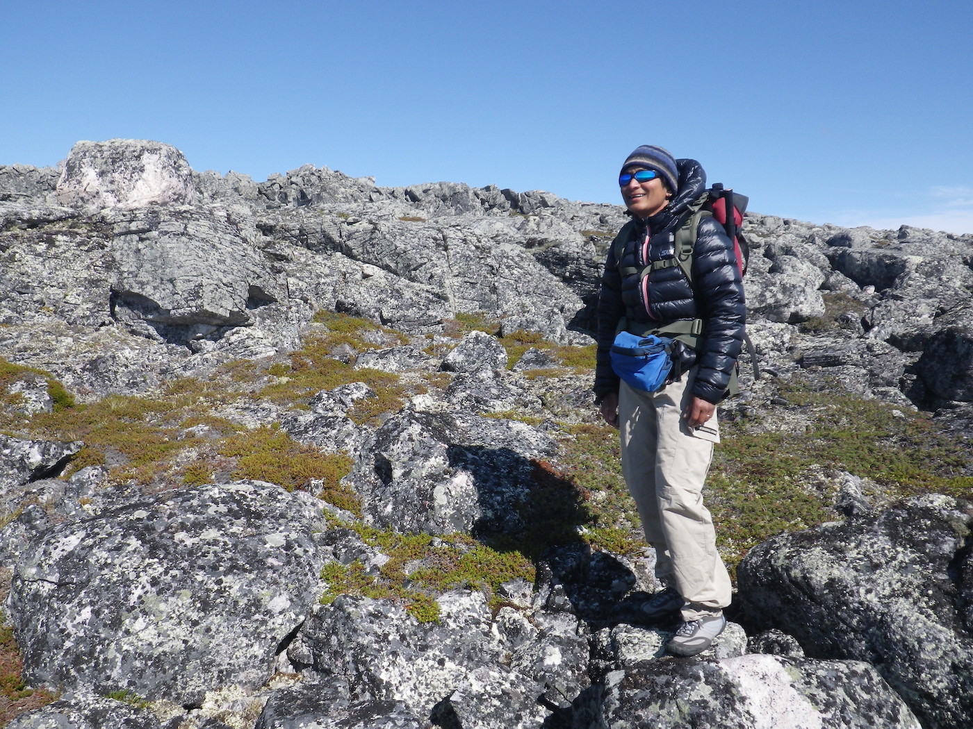
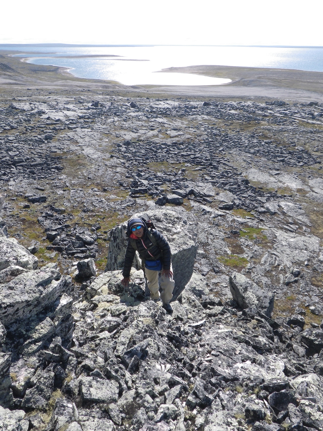
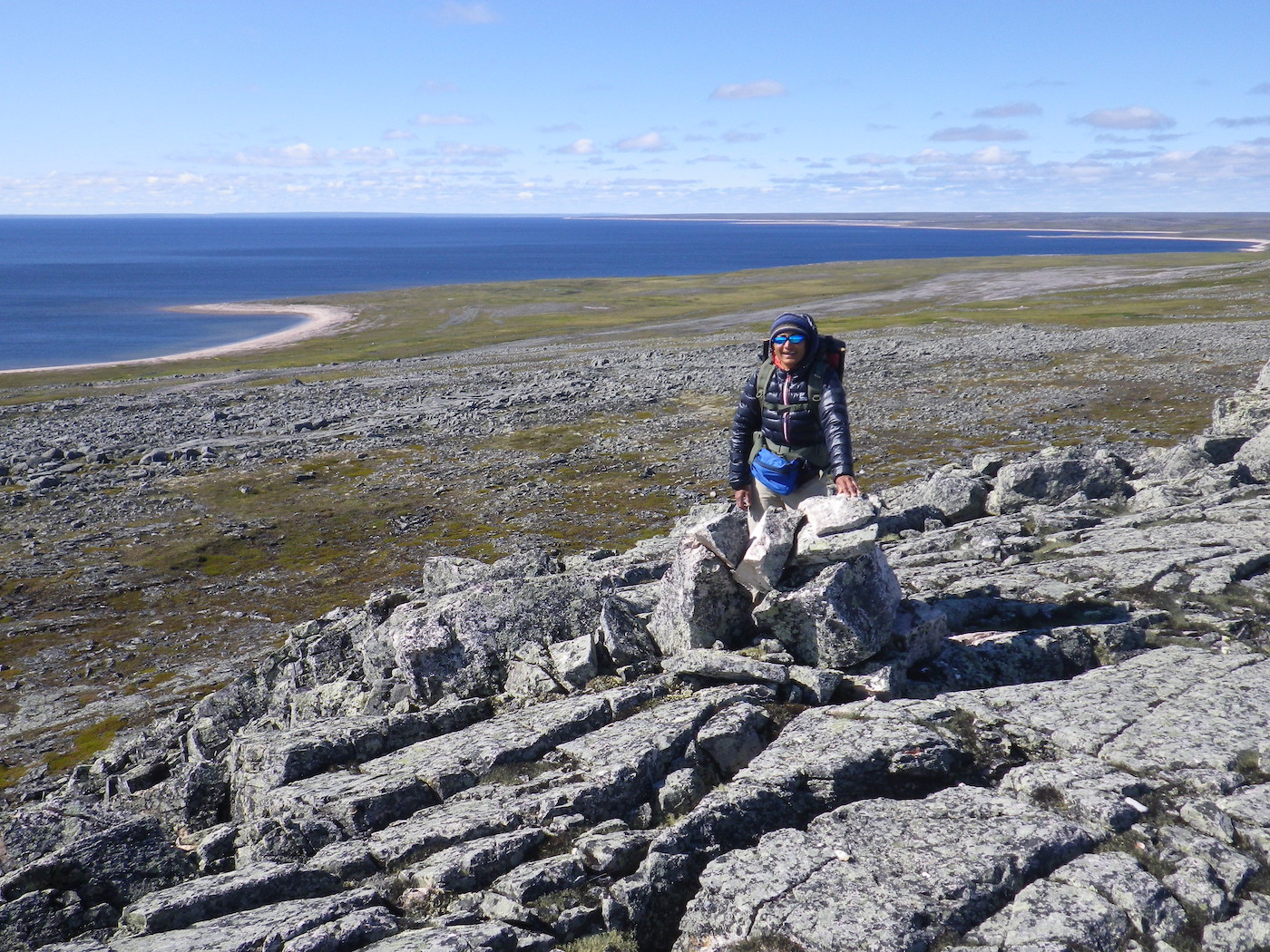
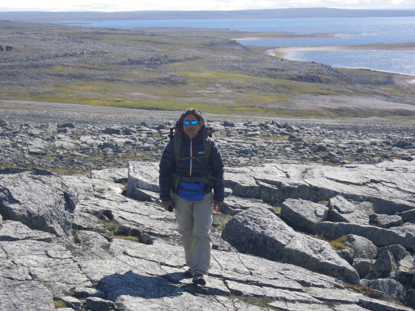
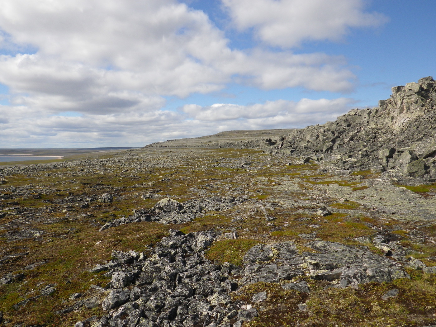
We had a very windy night. The tent was flapping and buffeting so loudly that it was difficult to sleep. It is still windy today, and finally we have a break from the black flies. The wind is about 25 mph and coming from the west. There are lots of whitecaps on the lake, so we decided that this would be a good day for hiking. We are particularly well positioned for a hike up Peqetuaz Hill, which is very rugged and rocky with multiple layers of escarpments. It is one of the higher hills we have seen, at 237 meters.
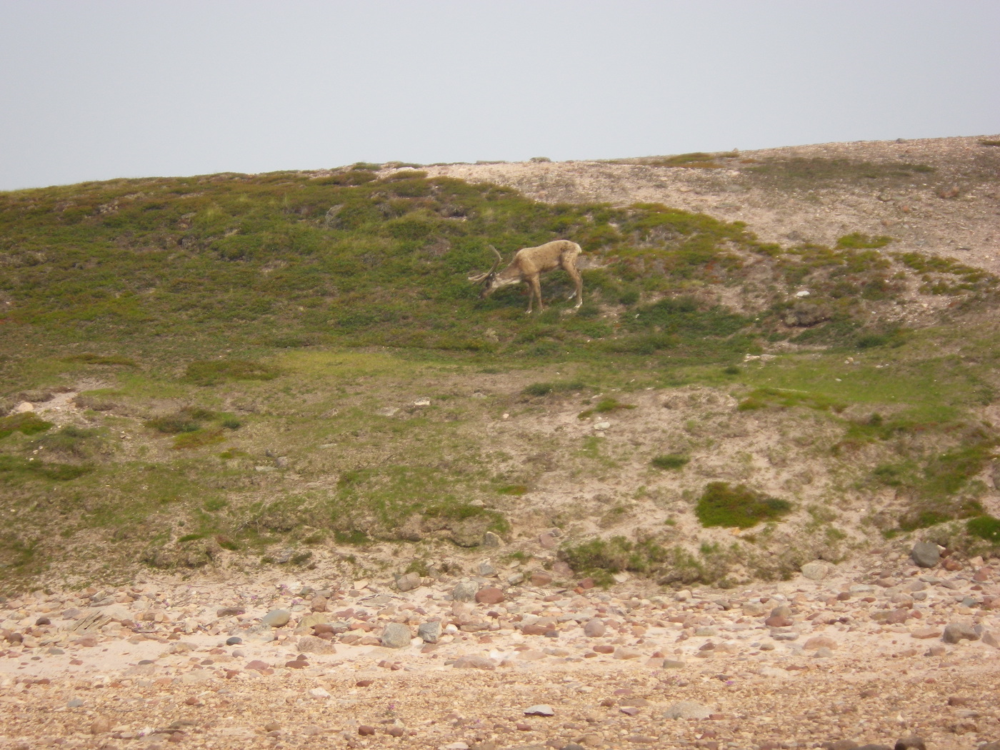
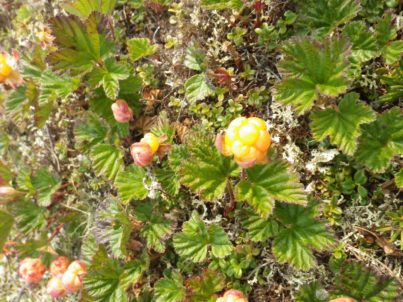
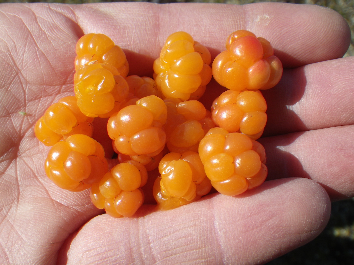
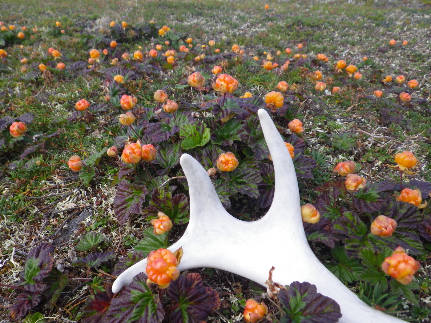
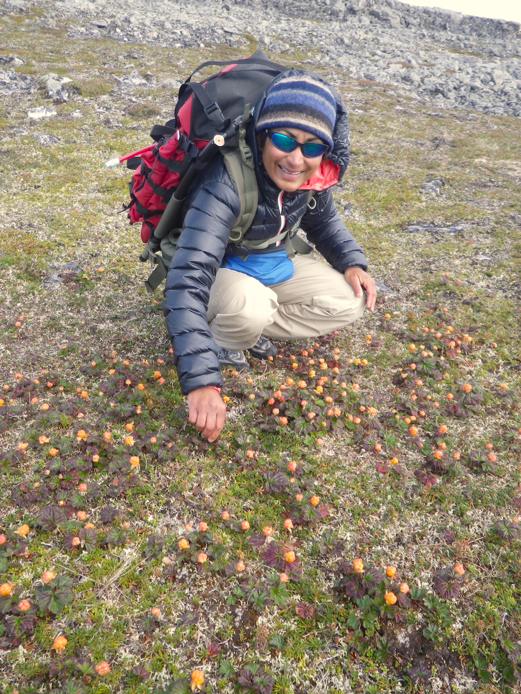
The hike was excellent. We were able to keep our bug hoods down all day, which was a new experience for this trip. The views were excellent, and we even saw a lone muskox grazing not far from our camp. We also saw a caribou on the beach. The huckleberries and cloud berries were abundant and we gorged ourselves.
This sunny but windy weather was lovely. It actually felt like we were on vacation. By 4pm the wind dropped slightly and the black flies came out again. They were hitting our hoods hard and it sounded like it was raining.
Day 21
Weather: Windy, cloudy.
Distance: 0 km
Location: Latitude:64.60686, Longitude:-98.49954 at 08/02/2014 16:09:57 PDT
Map link: Click here
We woke up at 5.30 am ready to paddle, but the seas were quite rough, and the surf was roaring on the beach. A 20-25 mph wind was blowing from the west. We waited all day for the seas and surf to diminish, but they didn’t, so this ended up being another rest day from paddling. The sky was grey and the barometer was steadily falling.
Day 22
Weather: Some tail wind, then calm, warm and very buggy, then increasing west wind to 20 mph
Distance: 66 km
Location: Latitude:64.80021, Longitude:-97.61208 at 08/03/2014 15:52:29 PDT
Map link: Click here
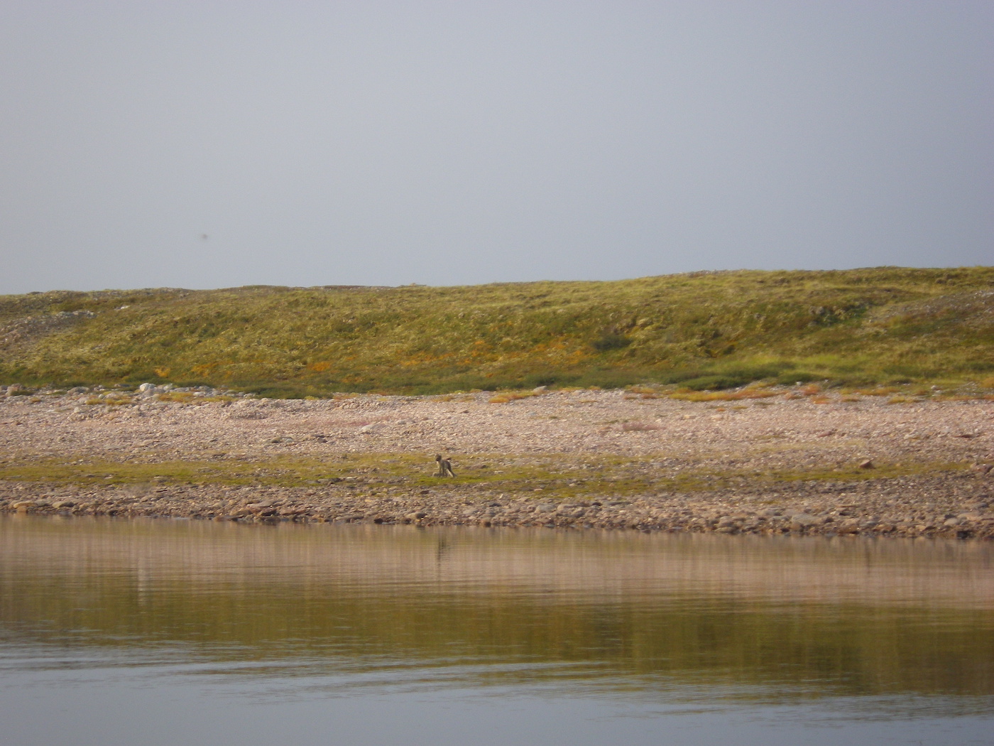
We were up at 3.30 am and on the water by 4.30 am. The conditions were good. It was fairly calm with a slight tailwind. Just enough to keep the bugs around our faces all day. We saw a skinny arctic fox on the lake shore. We also met up with Adam, Hillary, Jonah, and Elena again.
We briefly enjoyed some current assist through the narrows. We made good progress and even managed to complete the first 15 km section of Schultz Lake. The wind gradually increase until it was blowing 20 mph or so. Fortunately, it was behind us. We could have continued but we were exhausted by the time we had done 66 km of predominantly lake paddling. This hard effort has positioned us well though. We only have about 50
km of exposed paddling on Schultz Lake before we get back on the Thelon River and hopefully enjoy some current assistance.
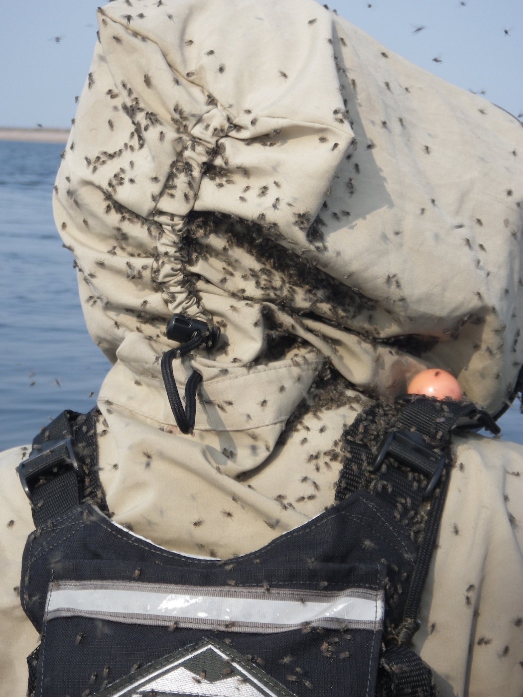
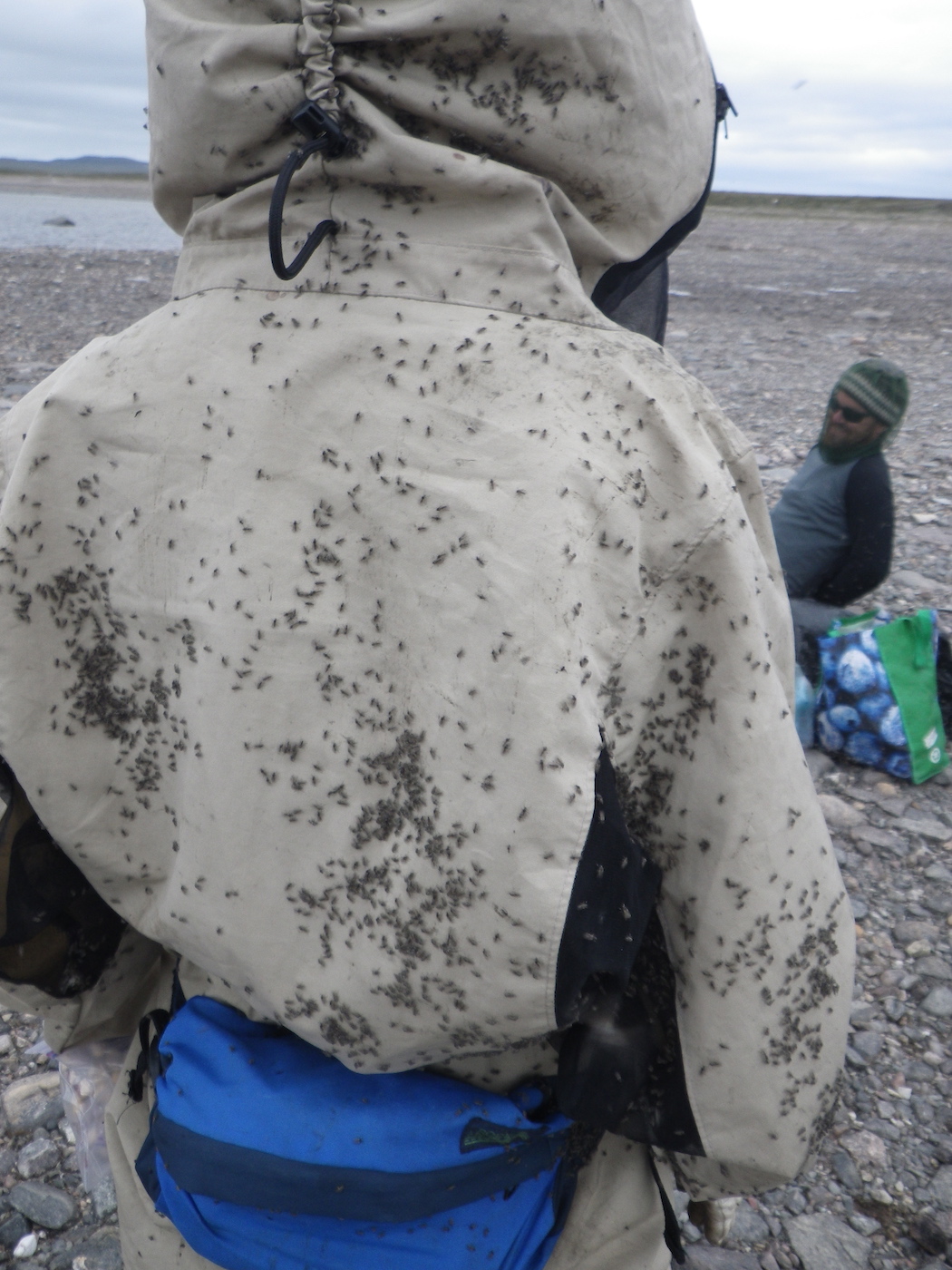
We saw lots of fish today, especially in the short sections with current. As usual, the black flies are insane. They are currently hammering into our tent and it sounds like a heavy rain storm, even though its dry out.

Day 23
Weather: Strong cross wind (20+ mph), then head wind (15 mph), then gentle tailwind. Hot and sunny. Extremely buggy.
Distance: 103 km
Location: Latitude:64.47720, Longitude:-96.47073 at 08/04/2014 19:52:57 PDT
Map link: Click here
We were up at 3am and on the water by 3.45 am. We had a strong cross wind for the first 15 km. The wind was dropping off the hills to our north as we hugged the north shore of Schultz Lake. Eventually we turned south east to round a long peninsula and had quartering seas for 20 km or so. At the end of the peninsula we bumped into our friends again and enjoyed a break with swarms of black flies.
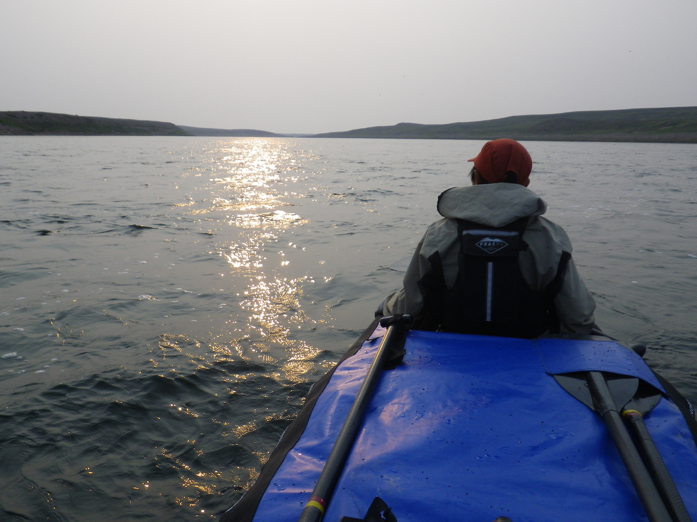
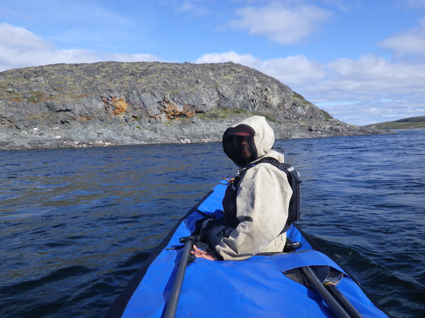
After rounding the peninsula we had a stiff headwind with small whitecaps to contend with for the next 10 km which involved several open crossings. After that the lake narrowed and became the Thelon River. The current picked up and there was a significant rapid before the river turned south east and we had the wind at our backs and the current with us. This wind and current assist is what we had been looking forward to throughout the morning’s 50 km struggle.
We paddled down to Aleksektok Rapids where we stopped to scout. We hiked all the way to the bottom of these large rapids which are a km or more long. At this low water level there was a relatively straightforward sneak route on river right, so we decided to run it. This saved a lot of time as we had anticipated doing a long portage around these rapids, based on previous reports.
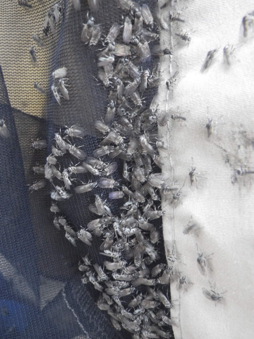
Below Aleksektok Rapids we enjoyed miles of smooth fast current. The wind was almost calm and the sun was out. The light was fantastic, but the black flies were horrendous. By the time we stopped they were swarming all over us. They were so thick on the tent that they were swarming on top of each other and tumbling down in clumps. It was not possible to get into the tent with out bringing in thousands of them. Even our usual tactic of pitching the tent flat to the ground (poles inside but not installed) running down wind for 200 m and then sprinting back upwind to the tent and having one of us dive in while the other brushed the flies off them and zipped up the tent immediately, didn’t work. Thousands got in. We were killing them for an hour after getting in the tent and everything was smeared in black grunge. Our gloves and clothes were filthy. It was really squalid, but finally we got to relax a bit.
We were pleased to have paddled 103 km, with more than half the distance on lakes with wind hinderance, in what felt like an over stuffer dry bag. We may complain about the lack of speed of our PakCanoe, but it can’t be that slow if we covered over 100 km in a day. We could easily have continued for another hour or two, but after 15 hours on the water we were tired and even with the black fly insanity with was worth stopping.

Day 24
Weather: Calm, cloudy, buggy, then rain and a thunderstorm
Distance: 37 km
Location: Latitude:64.31686, Longitude:-96.05016 at 08/05/2014 14:27:35 PDT
Map link: Click here
It was a cold night. The temperature dropped to freezing and there was ice on the tent in places and a heavy dew. The black flies seemed dead, but they gradually sprang to life as the sun warmed them up. We stayed in bed late and didn’t start paddling until after 10 am. The current was quite strong in places and there were some significant rapids as we approached the estuary of Baker Lake. These were not marked, but were in some ways more challenging than Aleksektok Rapids. I think this was the only place on the entire journey where we actually took some water in the canoe due to poor timing with a breaking wave.
The other thing that was tricky was selecting the correct channel. The river is very large as it approaches Baker Lake and it spreads out in a maze of channels, gravel bars and sand spits. There a numerous rapids in the channels as the shallow water cascades over the rocks. We wondered if it might normally be smoother with a higher river discharge.
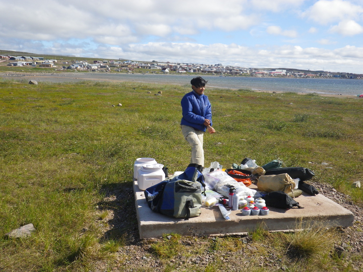
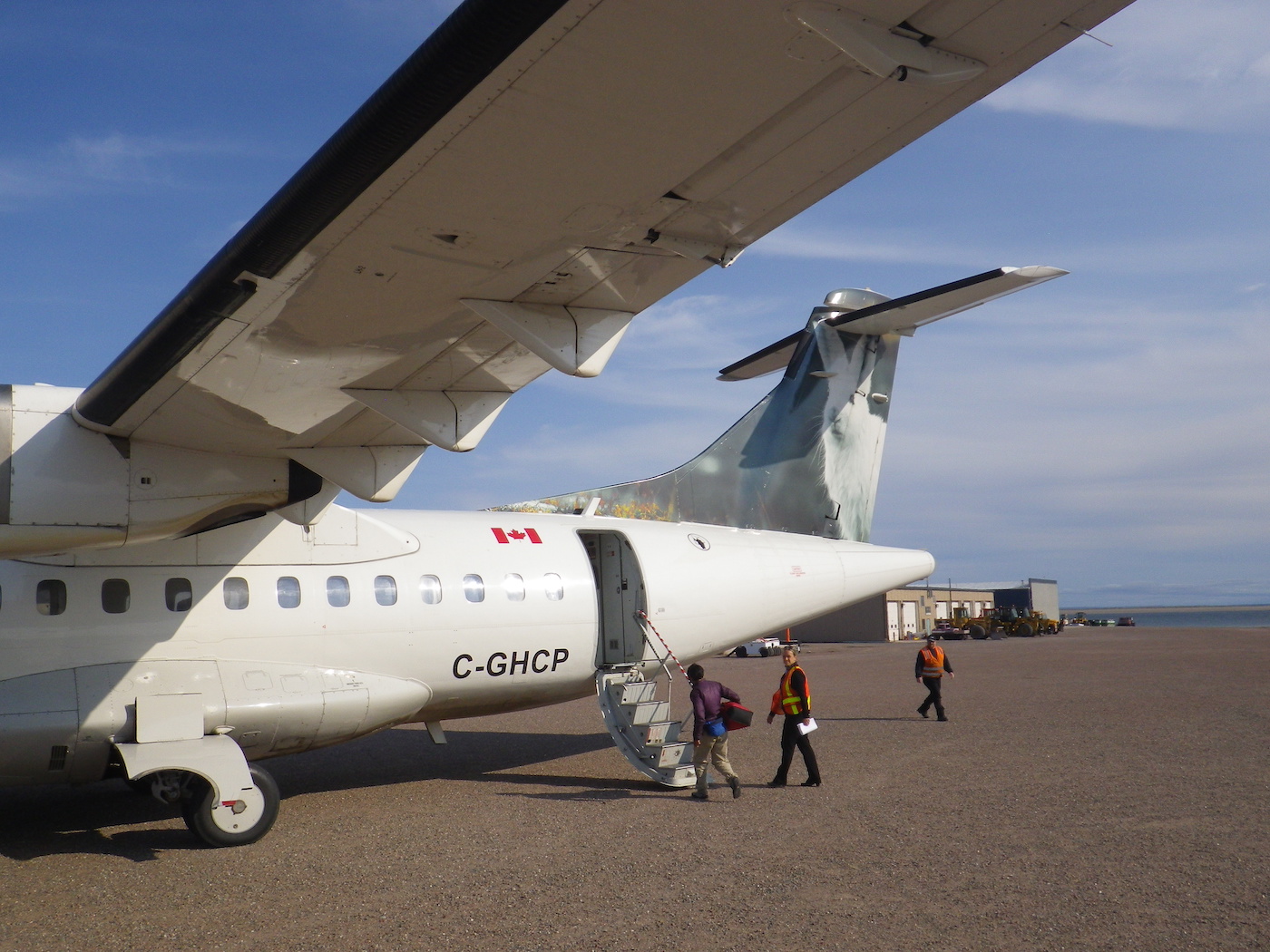
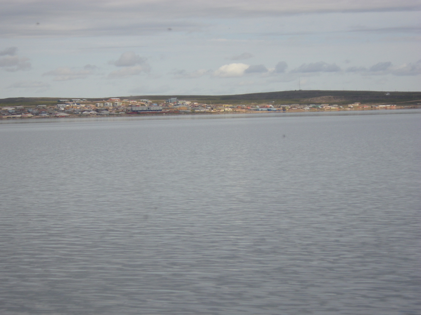
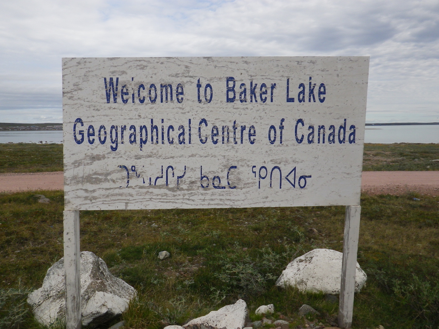
We arrived in Baker Lake around 2pm. Kirti walked in to the airport as we passed it on the way in to Baker Lake, and managed to book our flight back to Yellowknife (via Rankin Inlet) for the following afternoon. The ticket prices were much more reasonable than we had anticipated.
We found the camp site and set up our tent just in time for the rain to start. Everything got soaked before we could pack it away. Then we walked into Baker Lake to explore the town. People were very nice and we managed to get a shower at the local swimming pool. Unfortunately, there was no place open to eat after 6pm, but we had plenty of food left so we cooked our own dinner as usual.
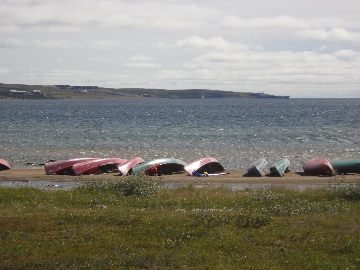
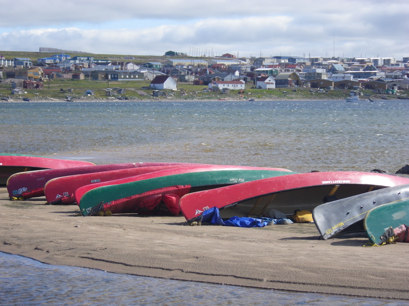
Shortly after we arrived in Baker Lake, so did 4 other groups from Camp Menogyn. One group had run the Thelon, another had done the Hanbury, a third did the Kazan, and the fourth did the Back and Bailey. They had all been out for 37-40 days. The beach in front of the canoe camp was packed with canoes. Local people from Baker Lake came down to the camp to meet all the visitors. The local people are wonderfully friendly.
There was a huge thunder storm at night, right over the top of us. The thunder was really loud in the tent.

Day 25
In the morning we organized and dried our stuff before packing it into bags for our flight out. We also separated out a couple of weeks of extra food, fuel canisters, air horn and bear spray to donate to the local people.
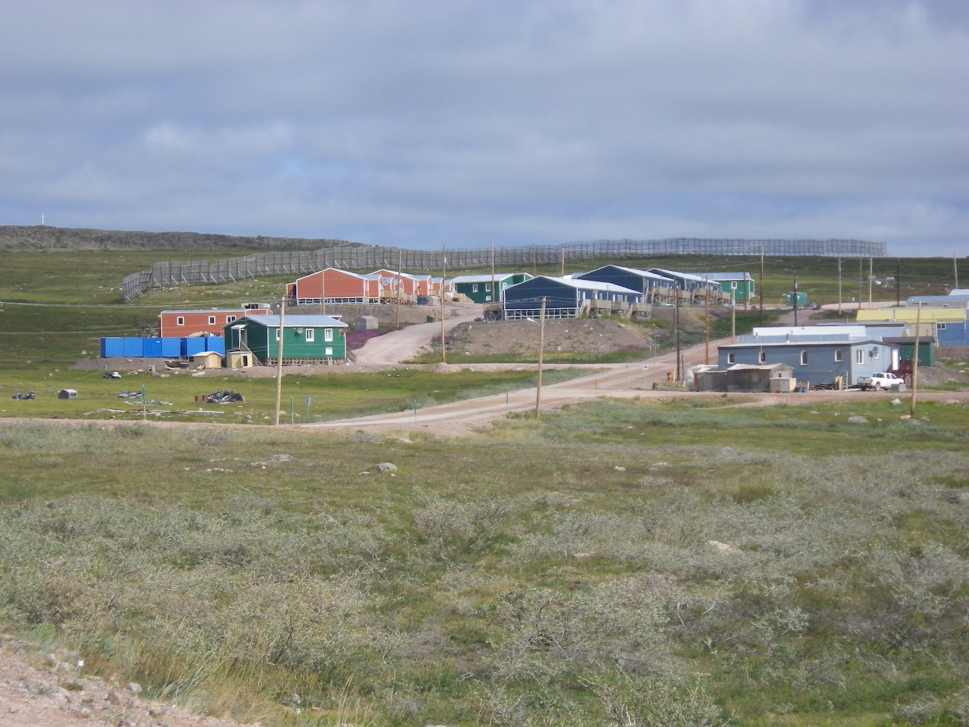
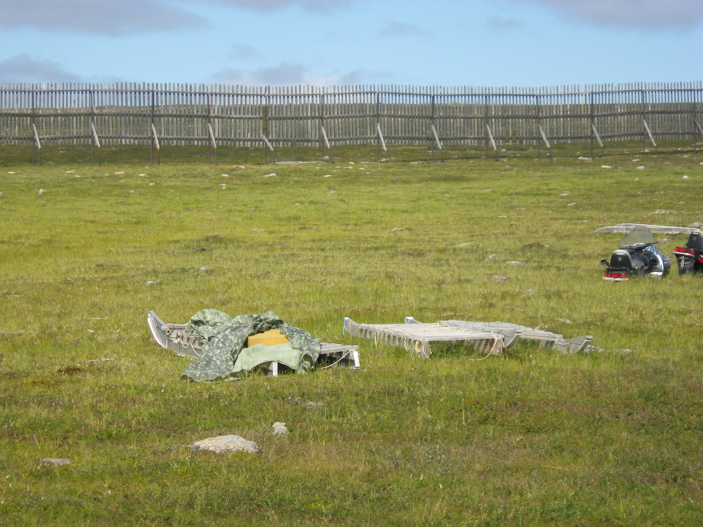
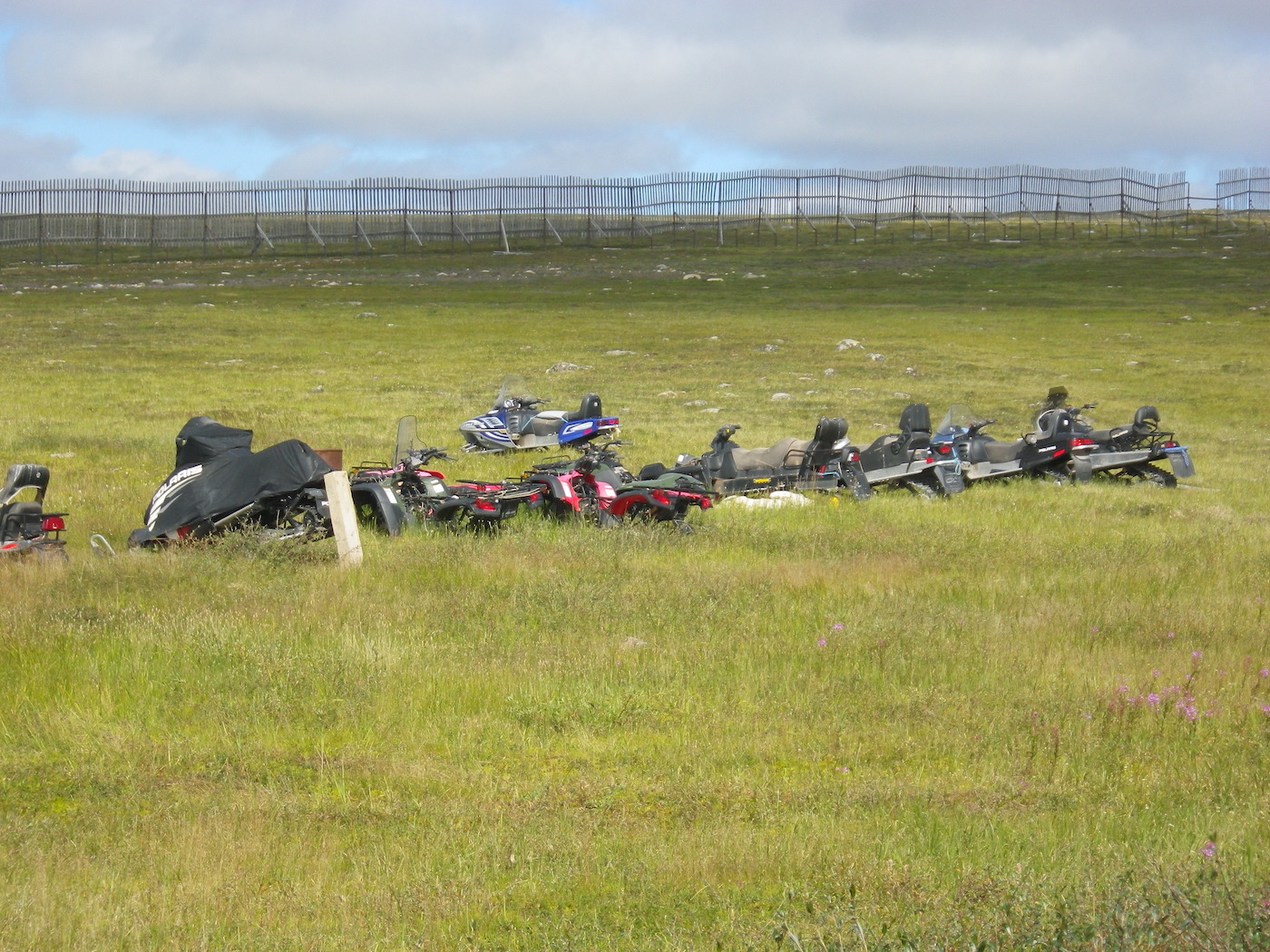
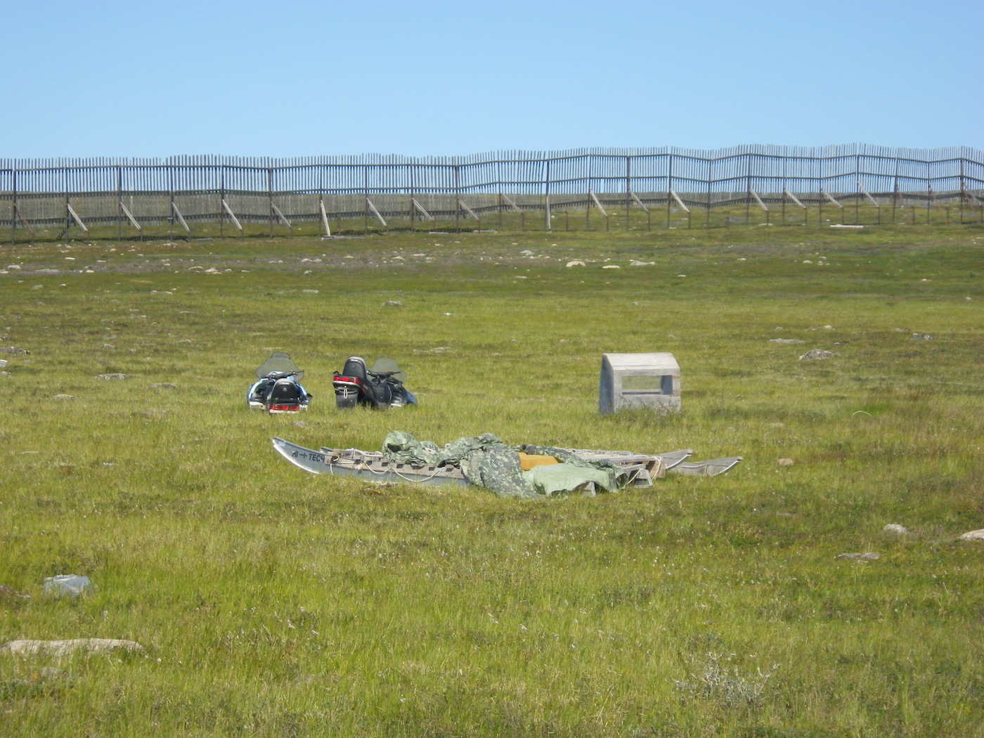
After organizing our stuff we spent some time exploring Baker Lake. It is interesting to see how people live up here. There are snow machines and sleds lying around on the tundra just waiting for a different season. There are also huge snow fences all across the back of town to stop the snow drifting too deep. Apparently, it used to completely cover the houses, not even leaving the roofs visible. Many houses have ATVs and cars even though there is just a mile or so of road, and none of it paved. People zip back and forth on their ATVs at break-neck speeds. The people are wonderfully friendly and welcoming.
In the afternoon we flew out of Baker Lake to Rankin Inlet on Hudson Bay. We were the only passengers on the flight to Rankin Inlet, and enjoyed a large plane all to ourselves with our own personal flight crew. The flight from Rankin Inlet to Yellowknife was slightly busier, but it was a large jet and we had no problem getting a window seat. No sign of any security on these flights — just walk up and get on the plane. Life is wonderfully simple up here, and the people are amazingly friendly. I think the far north is the last bastion of true civilization.
With luck we will start our drive home tomorrow. It all depends on whether the only road out of Yellowknife is open yet. It has been closed for long periods (days at a time) over the past month, due to forest fires, and people have been stranded. …. the rest of Canada has been isolated!