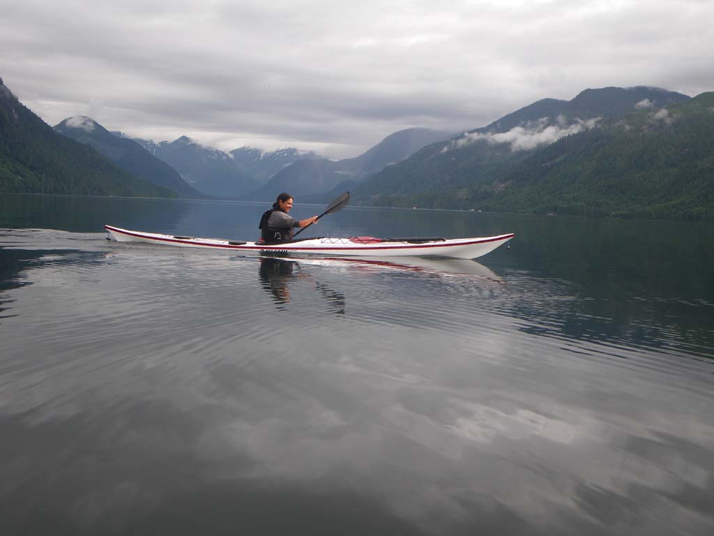
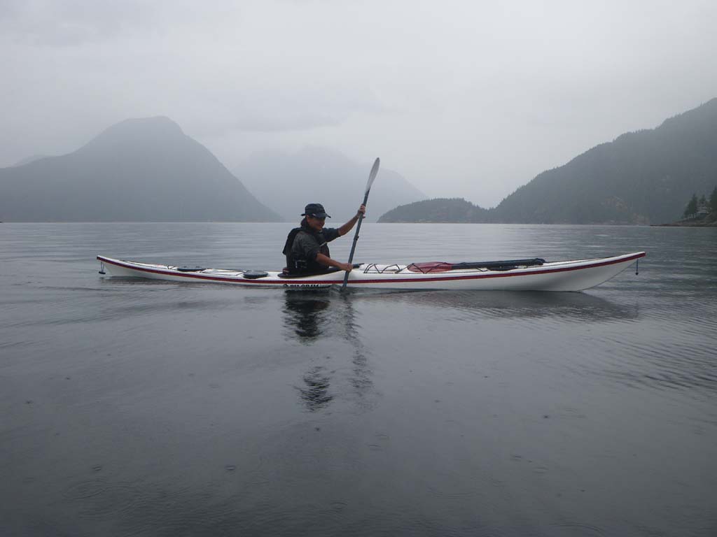
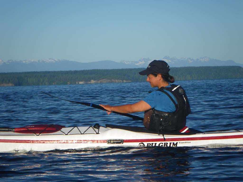
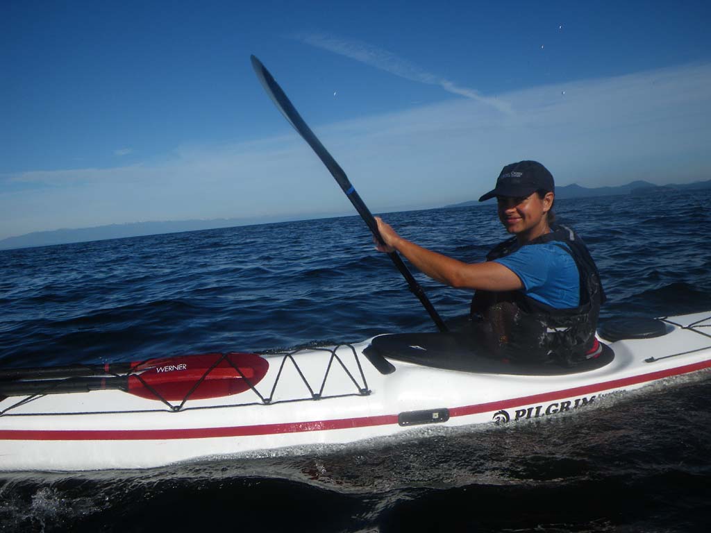
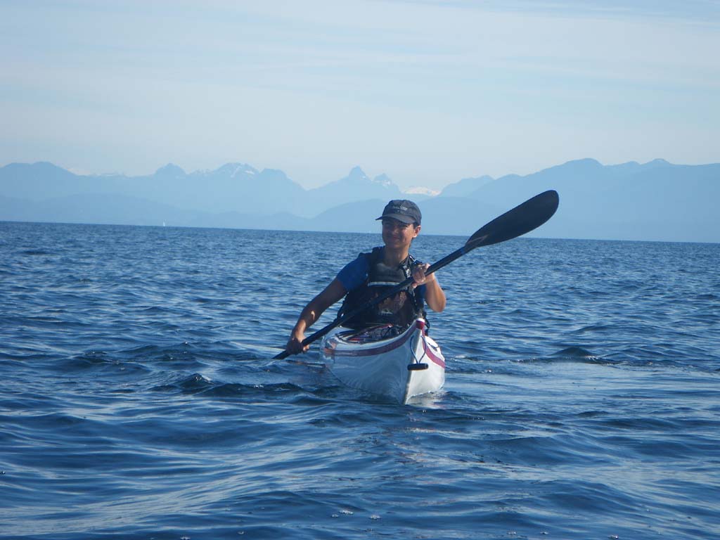
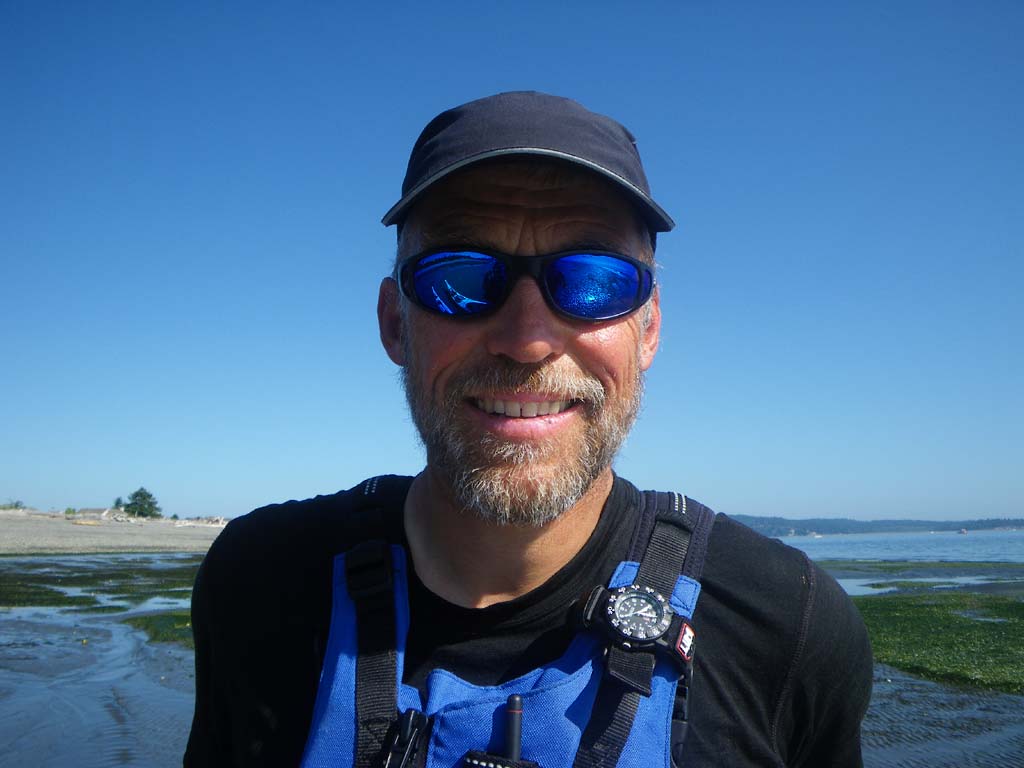
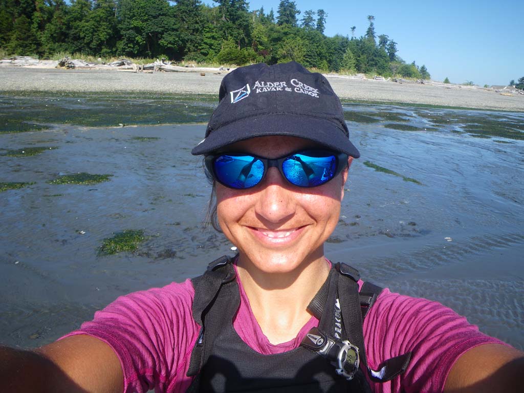
Day 21–Port Hardy to Bere Point on Malcolm Island
Date: July 16
Distance: 19 nautical miles
Duration: 6 hours with one quick stop
Actual conditions: Calm, 10 knot head wind and rain late
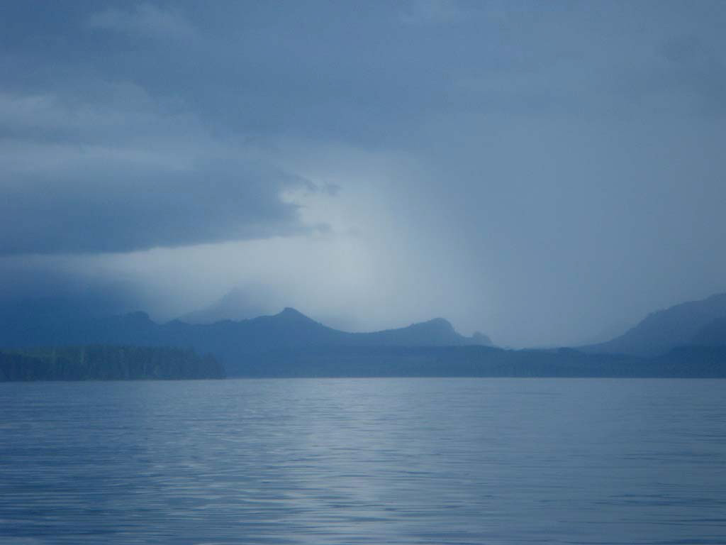
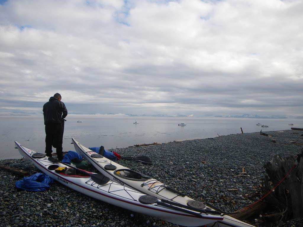
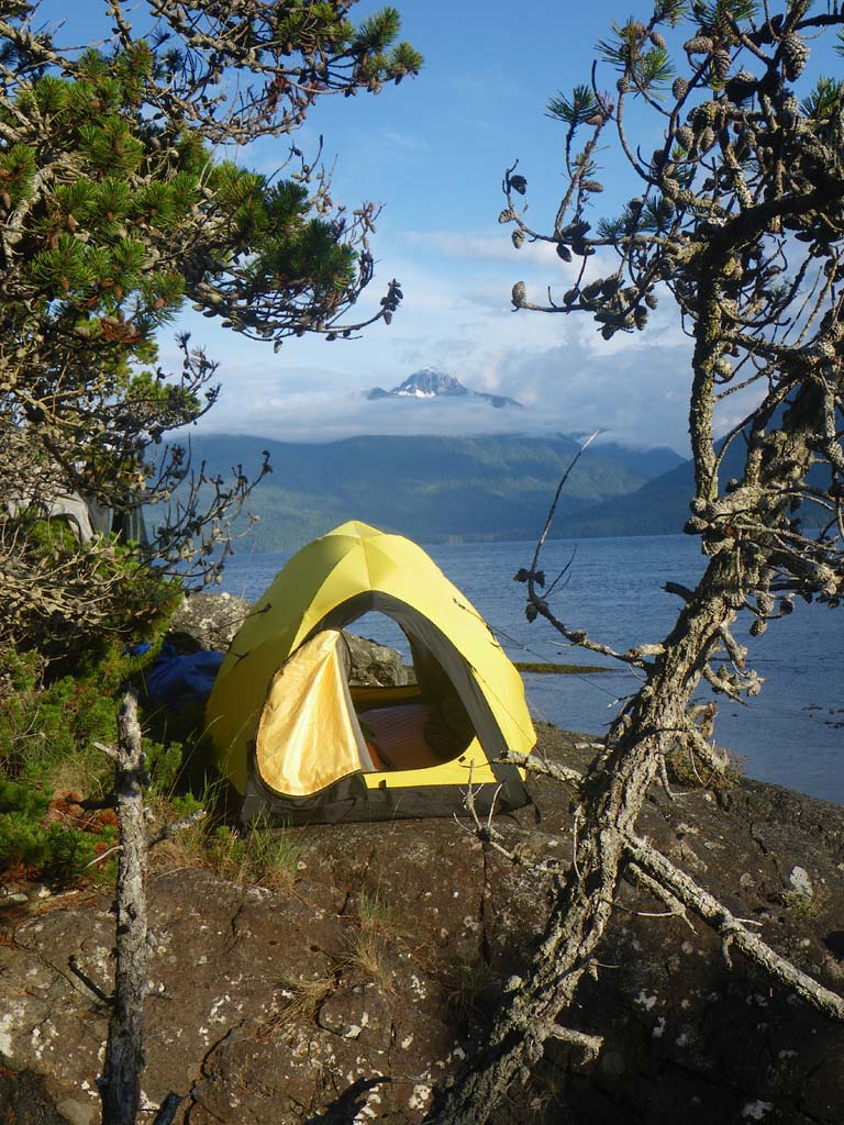
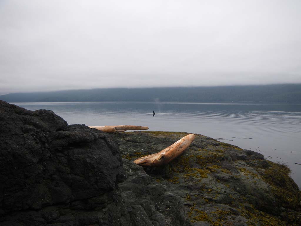
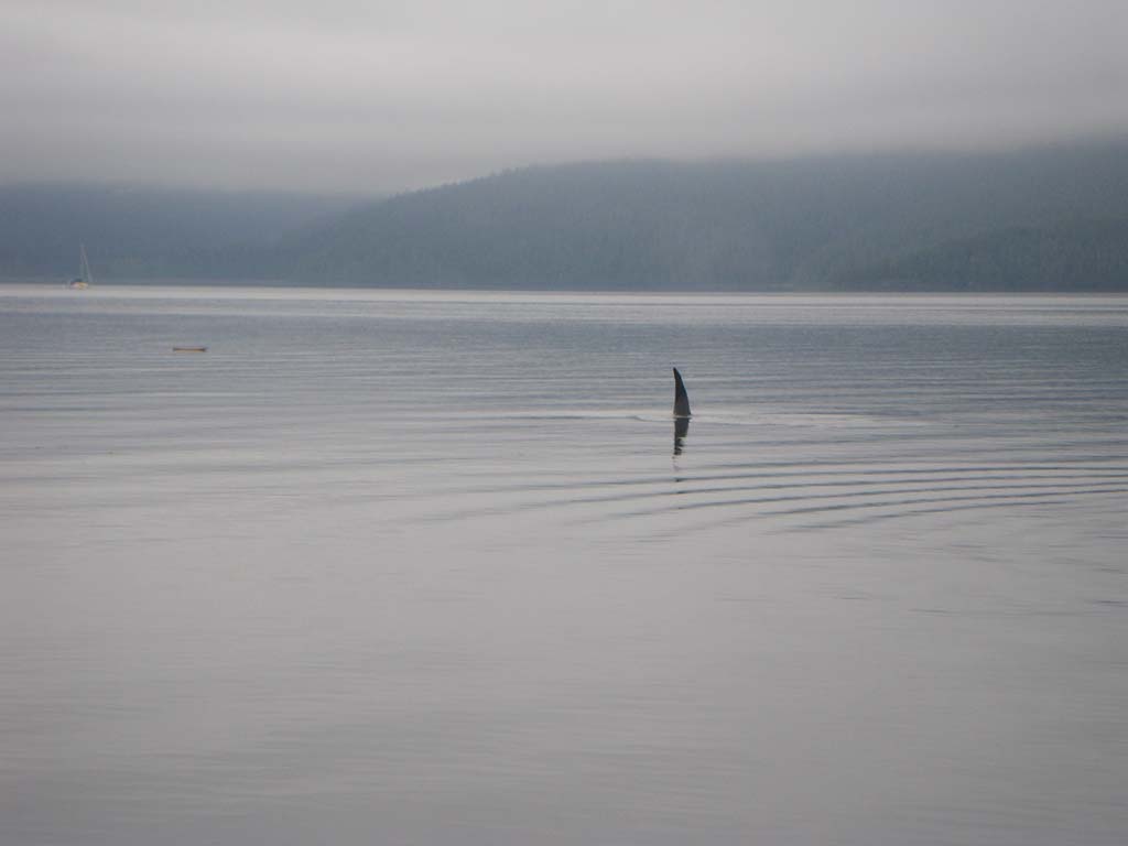
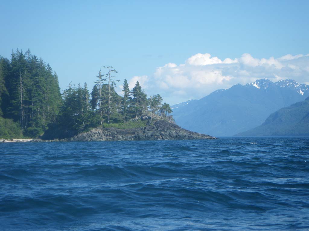
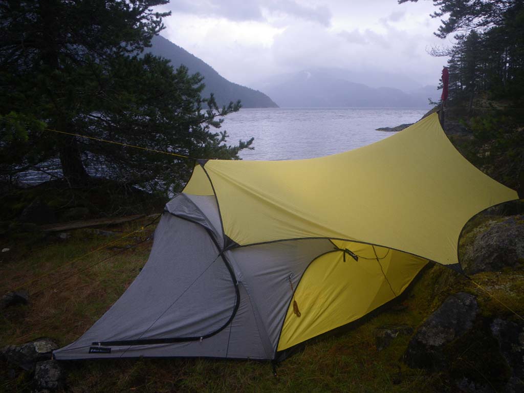
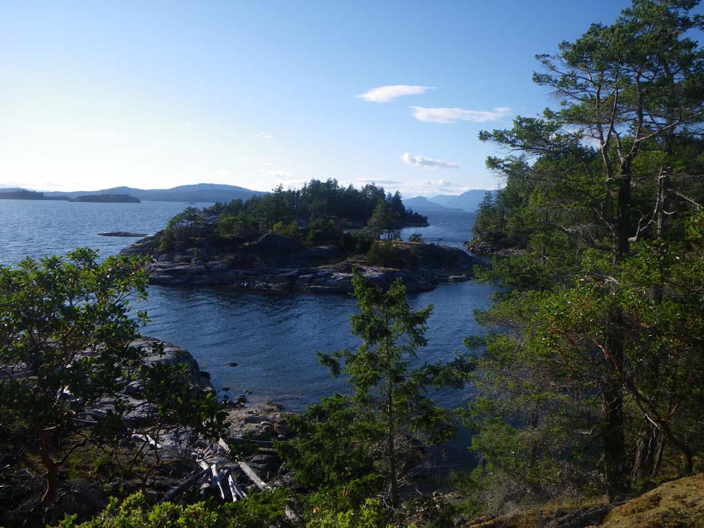
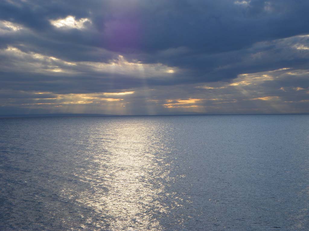
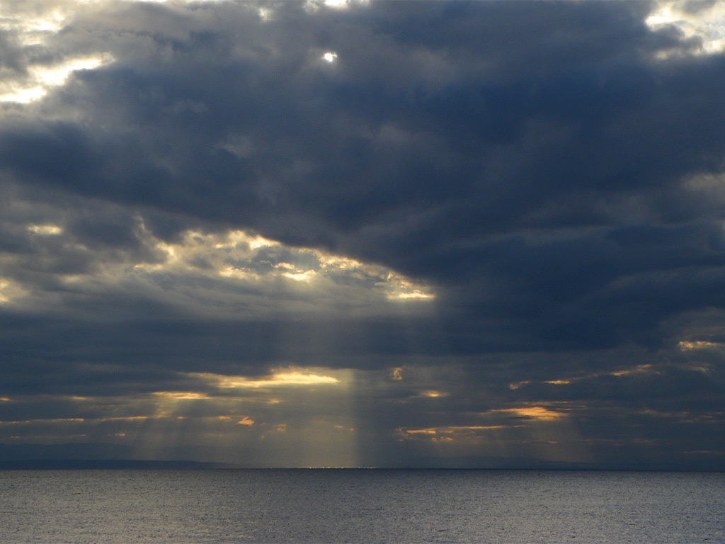
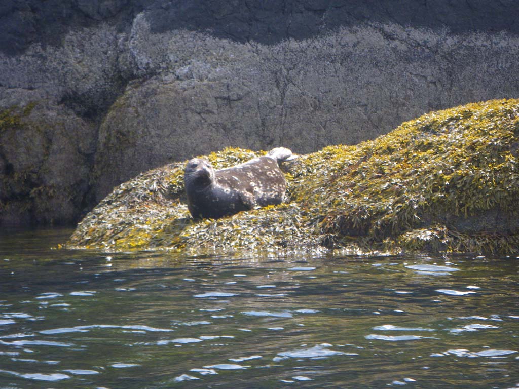
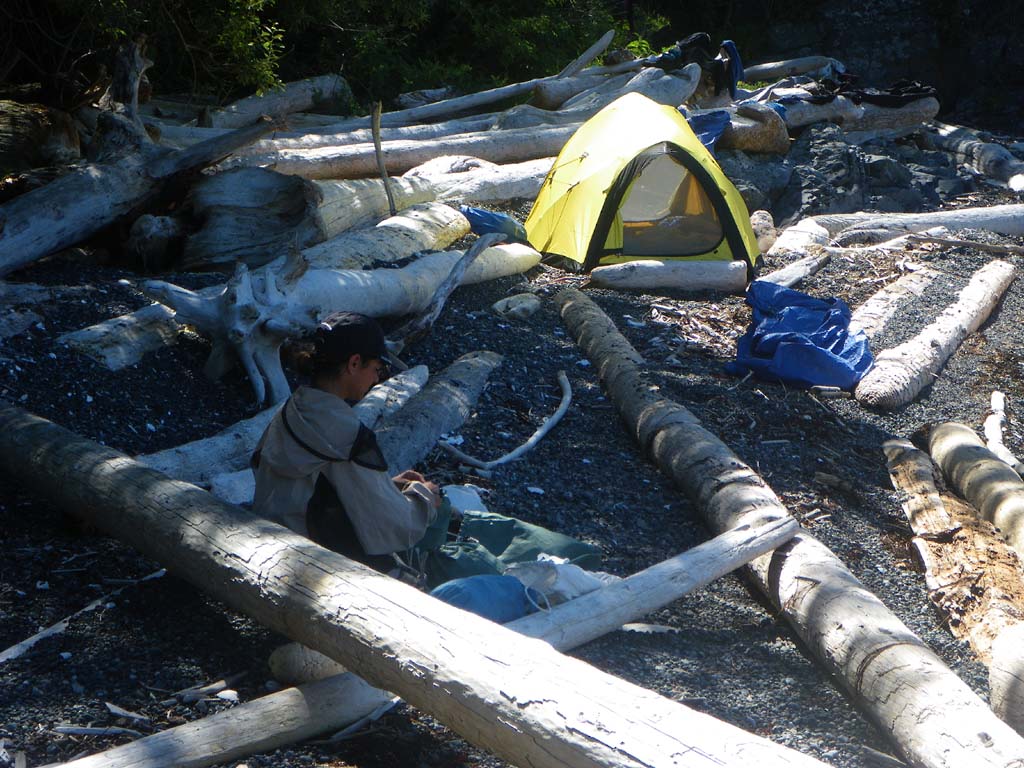
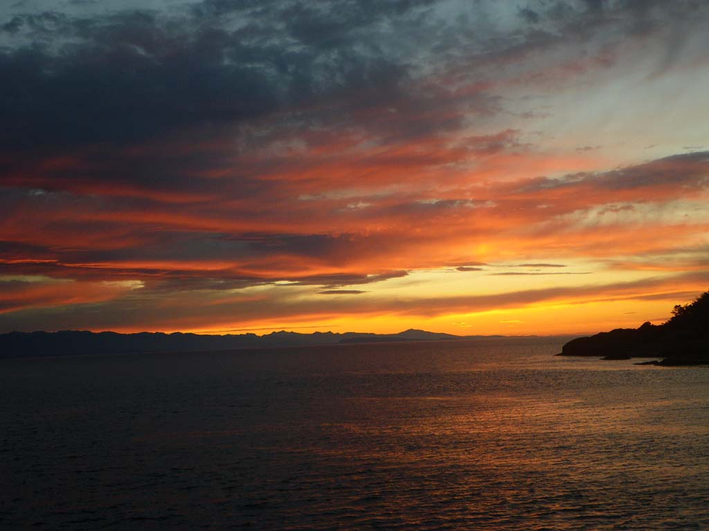
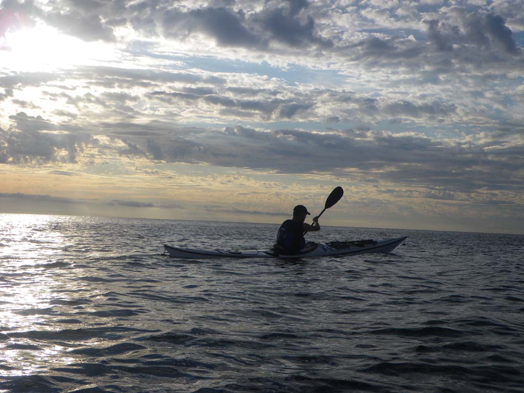
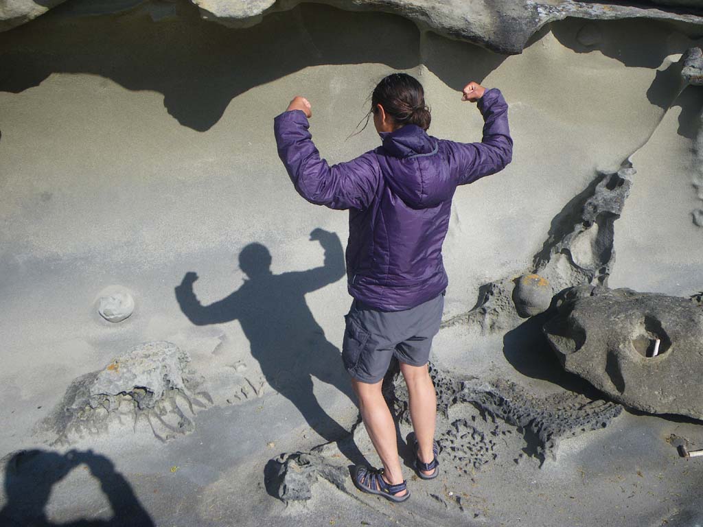
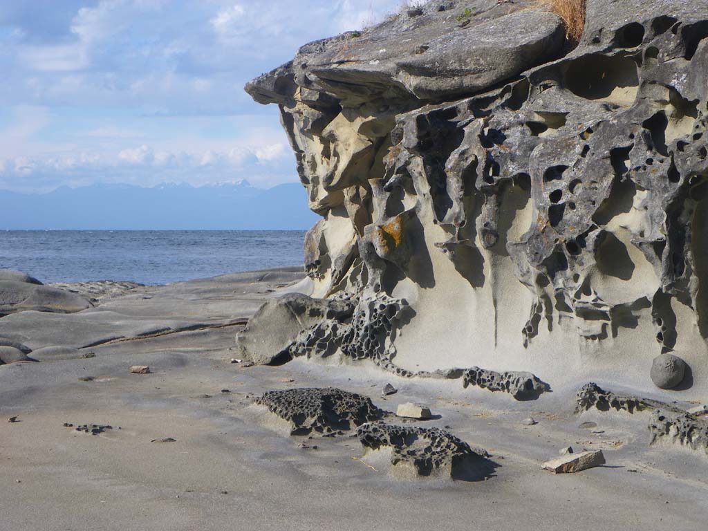
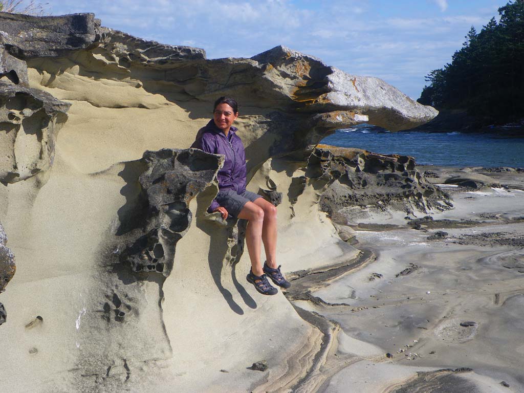
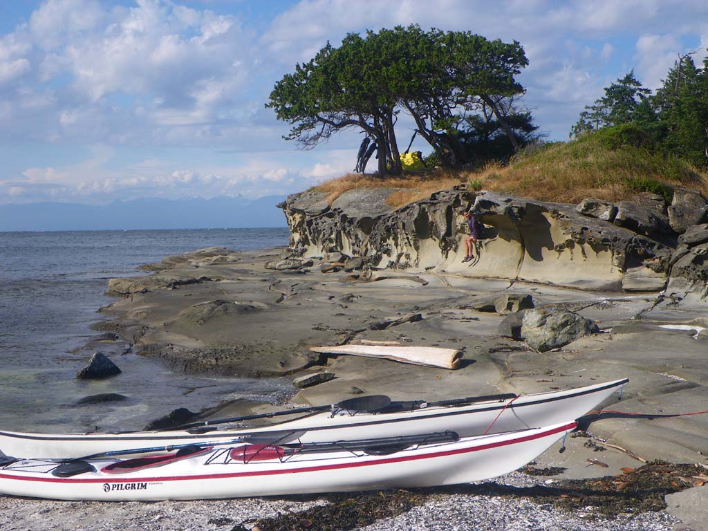
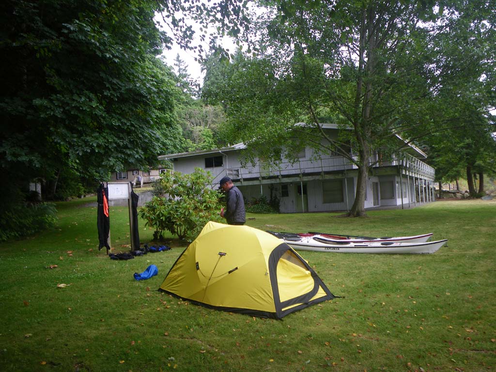
We set off later to go with the flooding tide. The sun was shining and it was warm so we wore our shorties. We saw beautiful rugged snow capped mountains to the east. We struck out on a 10 mile crossing to Malcolm Island. We saw porpoises and heard whales. Stormy rain clouds developed to the west and we could see it drenching the hills. We lost the race as it moved out and over us eventually. We finally pulled up on a steep gravel beach at Malcolm Island and then quickly set up a shelter and tried to wait the rain out a bit. We didn’t have much luck with that! It was persistent as usual. We found a viewing platform and a trail in the woods with an information sign about orcas. They come to this beach to rub their bellies on the pebbles. There is an outhouse at the trailhead to the east and a campground as well. While at camp we saw porpoises, whales and sea lions.
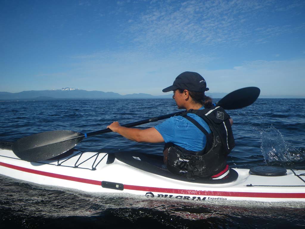
Day 22–Bere Point on Malcolm Island to Sophie Islands
Date: July 17
Distance: 22 nautical miles
Duration: 5 1/2 hours without stopping
Actual conditions:
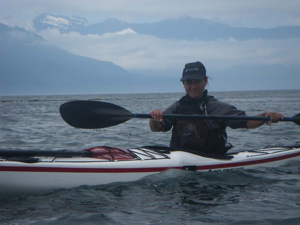
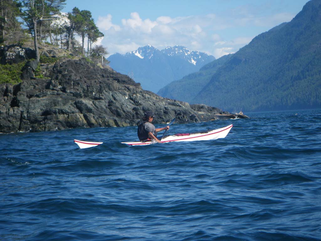
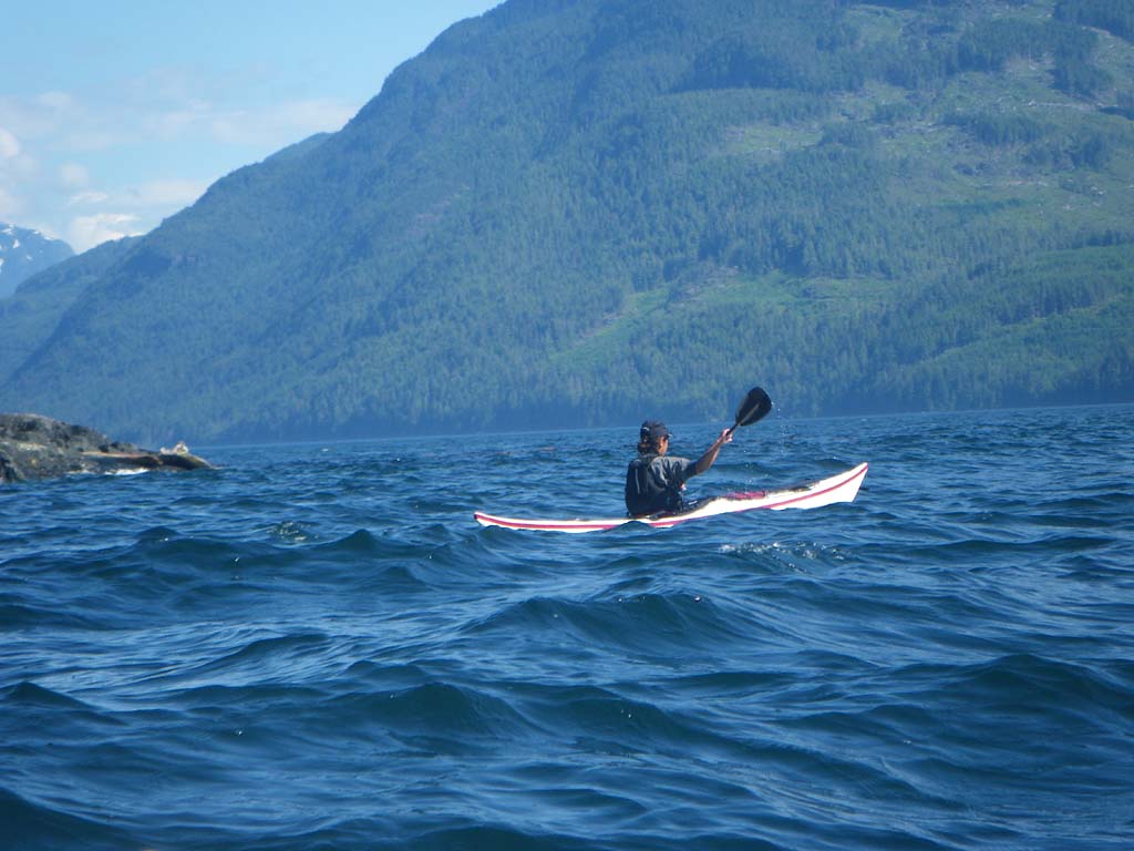
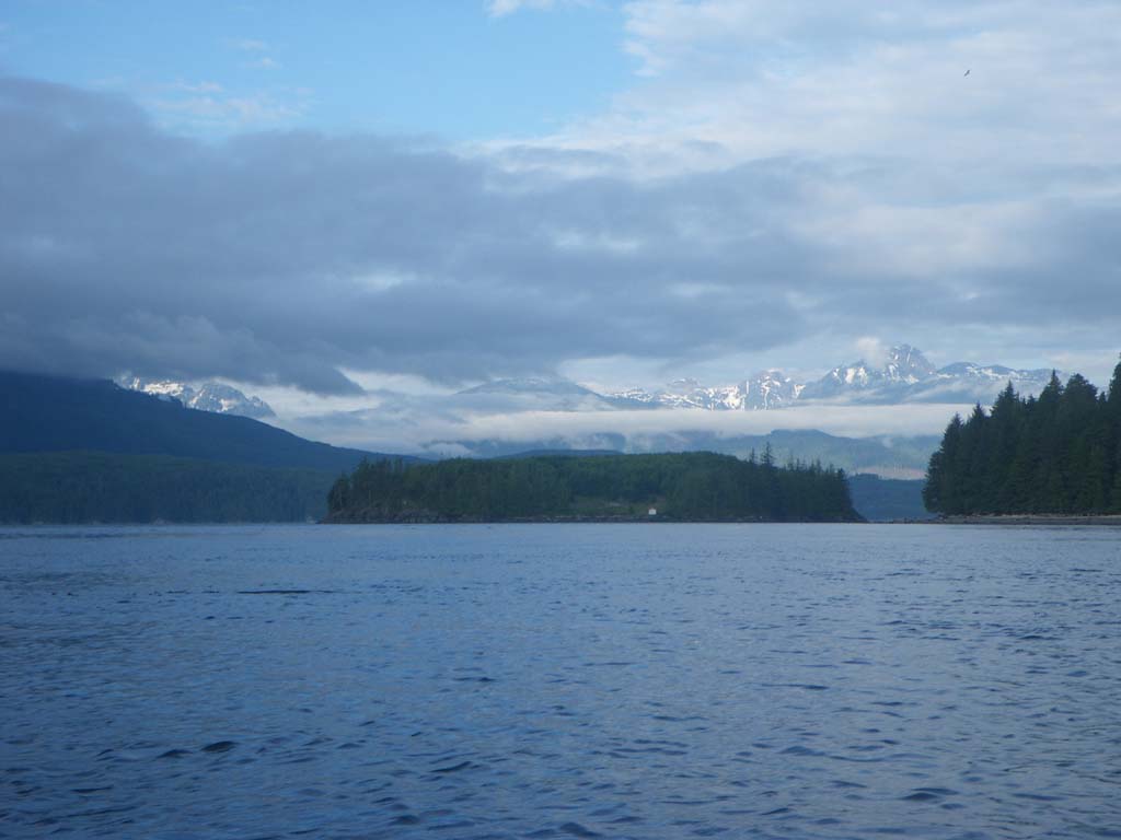
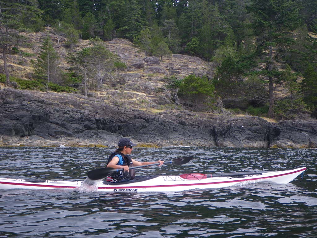
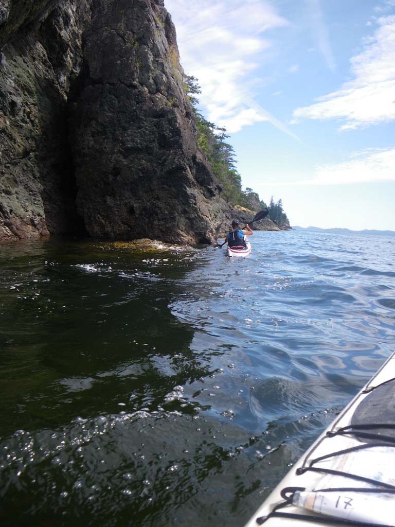
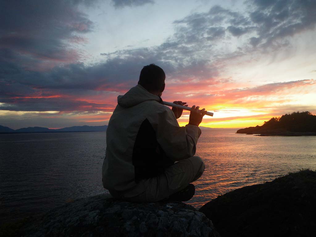
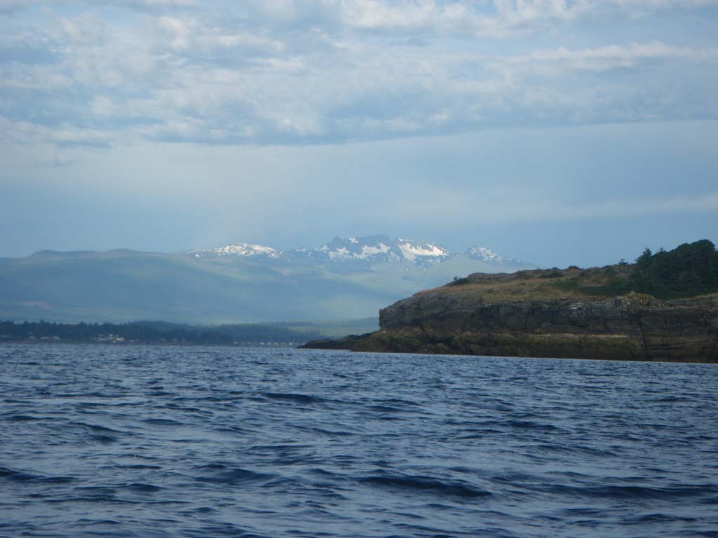
We had another long crossing and saw several pairs of humpbacks. We encountered a group of kayakers. We had swirlies and crazy currents with 3 channels converging at Cracroft Point at max flood. We entered Johnstone strait and saw several pods of porpoises. We paddled to the Sophie Island group to have lunch and decided to make it camp there. It is a rock ledge camp with a view of great clouds and snowy mountains to the West. Its a fabulous spot for watching whales, but we didn’t see any until morning. A pair of piliated woodpeckers flew to a tree behind our tent. Shipping traffic continually passed by.
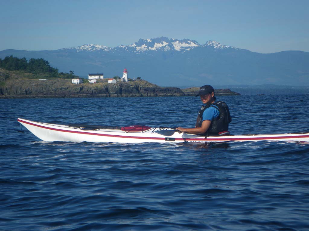
Day 23–Sophie Islands to Port Neville
Date: July 18
Distance: 23 nautical miles
Duration: 5 hours with an hour lunch break
Actual conditions: current against, calm in the morning, 15 knots wind with us in the afternoon
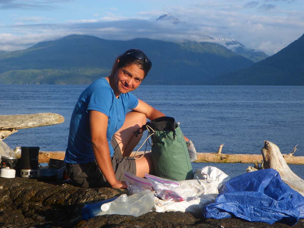
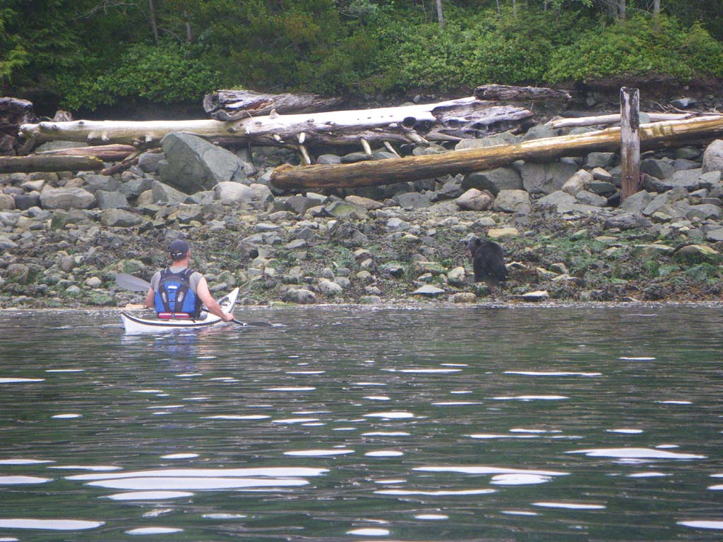
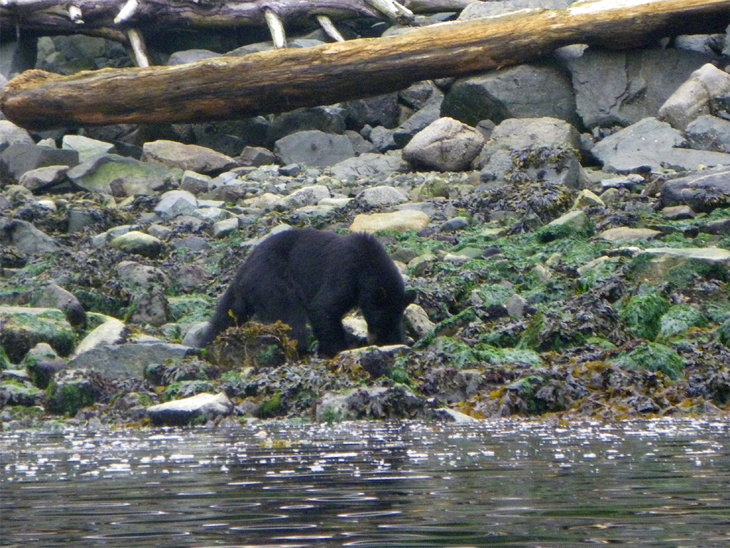
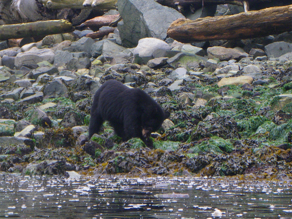
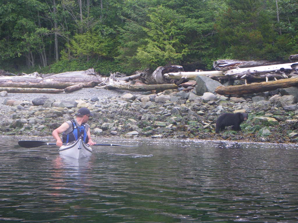
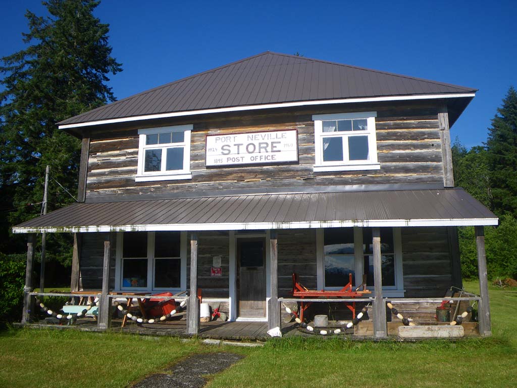
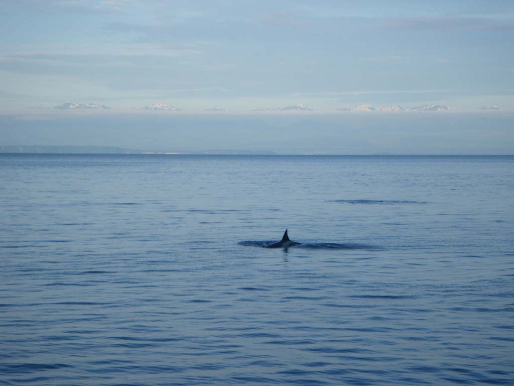
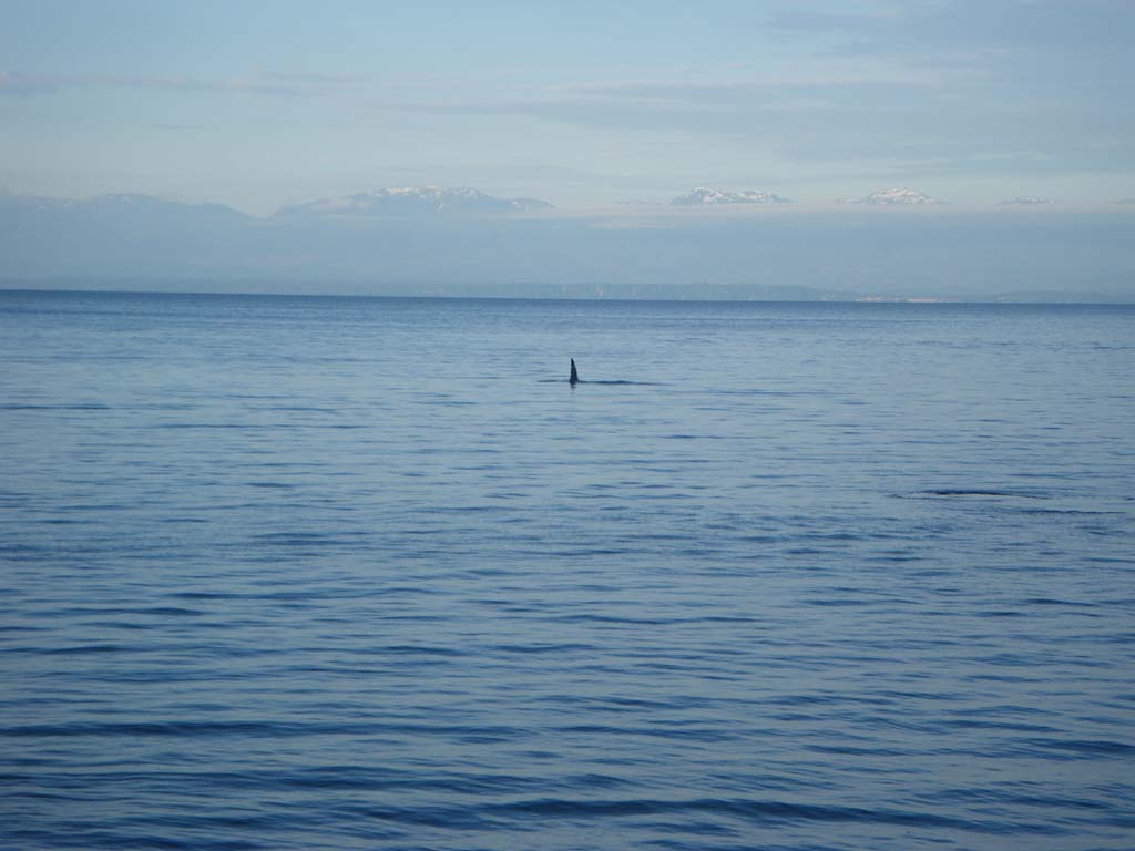
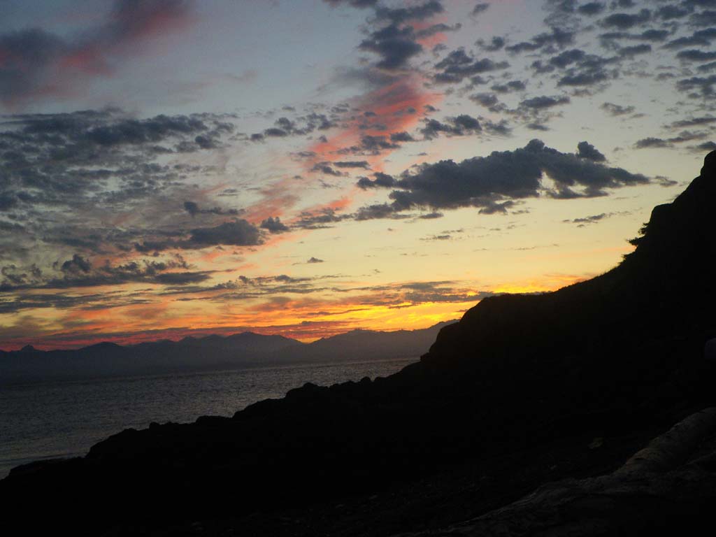
When packing up in the morning two orcas came 30 feet off our shore heading South. They were tail slapping loudly. We eddy hopped most of the morning and then we had a NW tail wind for the 2nd half pushing us along nicely. We surfed and made good time. We saw two black bears shifting rocks effortlessly along the shore. We saw a massive stampede of Dahles porpoises in the middle of Johnstone Strait. The caretaker at Port Neville invited us to camp there. There used to be a post office and a store here. The store closed in 1960 and the post office closed just last year. We were able to get drinking water here. Jill and Bryan had their boat, Hot Rum, at the dock and they brought us fresh baked muffins and invited us aboard for some hot chocolate. We enjoyed checking out their beautiful boat and visiting with them. Jonathan correctly identified the Cornish flag they were flying. They were surprised.

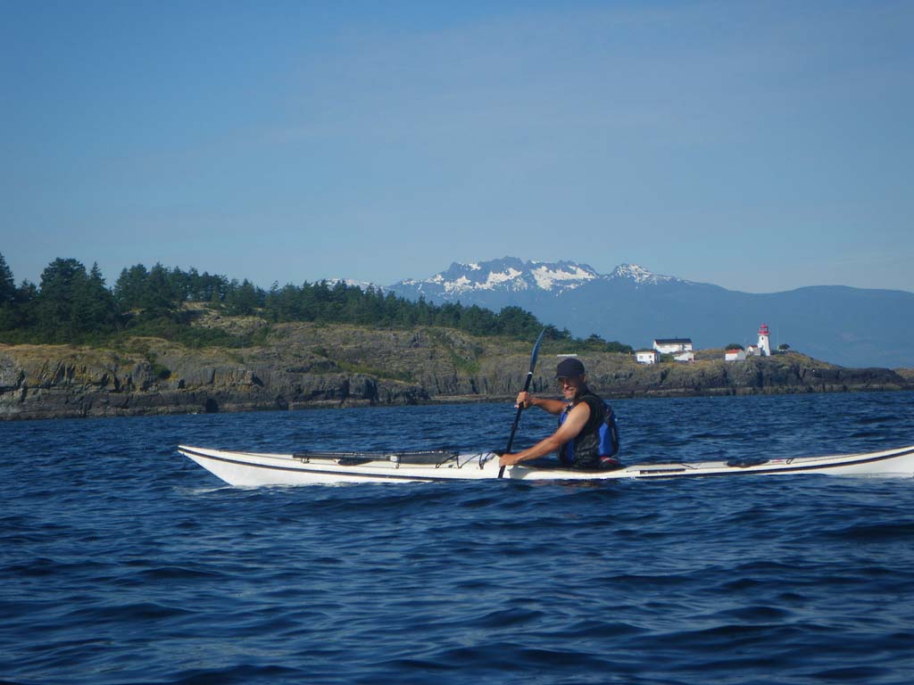
Day 24 — Port Neville to Green Point Rapid
Date: July 19
Distance: 28 nautical miles
Duration: 7 1/2 hours with an hour break for lunch
Forecast: Afternoon strong wind warning – NW 25 knots
Actual conditions: NW wind 15 knots rising to 25 knots, partly cloudy/sunny
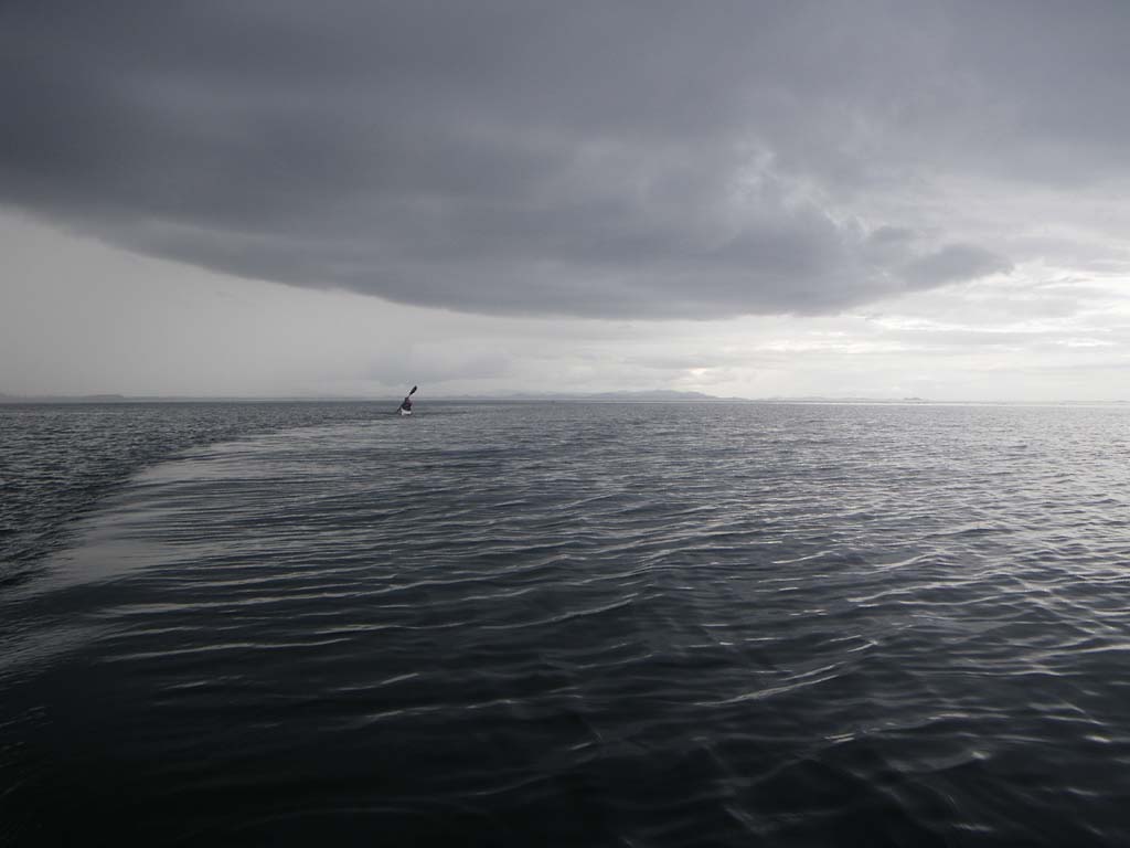
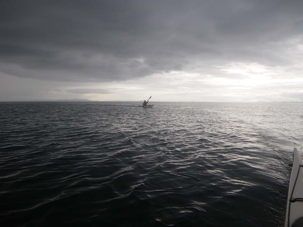
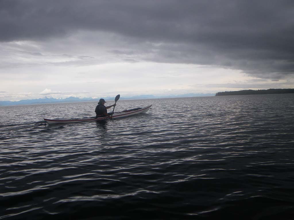
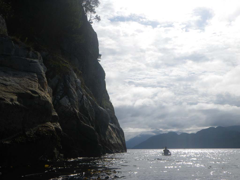
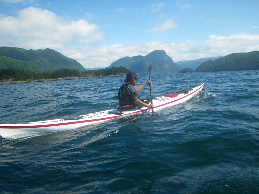
We packed up and had muffins on the beach. The caretaker chatted with us as we were preparing to leave. We gave him a donation to help him expand his library. We passed a group of kayakers who were still on the Beach at Blenkinsop Bay. Going into Sunderland channel we saw 3 orcas pass by. The current was against us, so we eddy hopped up stream and then used the building wind waves to surf across the channel and make progress. It was serious surfing with the wind and against a strong current – great fun. We went through whirlpool rapid but before doing so we had lunch waiting for it to turn. We went through close to slack. As we entered Chancellor Channel we found an exciting race going off. By this stage the wind was quite strong and the seas big . We surfed our way up through the race and surfed up stream before crossing. We had a great series of wind waves for the crossing again. It got really rough for a while and a big motorboat did a U-turn and came by to check on us in mid-channel to see if we were OK. We were fine, and enjoying the surfing. It was like our training runs in the Columbia River Gorge back home. We saw 2 black bears, several porpoises, and 13 bald eagles. We went through Green Pt. Rapid while it was still flooding fairly hard. It was churning a bit and the current really picked up at the top of it. We did a quick ferry across and caught an eddy to skirt the worst turbulence. We camped at a great rocky island right after it in the Cordero Islands group. Later that evening the group of kayakers we had seen on the beach earlier came by. They consisted of a Professor and a large group of students from his kayaking program at Pearson (?) College. They had launched at Prince Rupert a week or two before we had. They had weathered out the wet storms as well. They all seemed to be doing well. We were impressed.
Day 25– Green Point Rapids to South Rendezvous Islands
Date: July 20
Distance: 28 nautical miles
Duration: 9 ½ hours paddling with a 1 hr lunch break and a hair washing session
Actual conditions: strong current against all day, wind against but not too strong
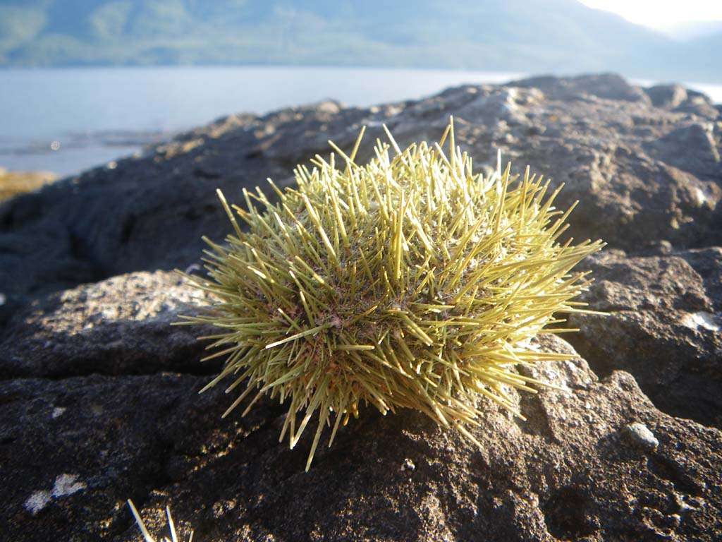
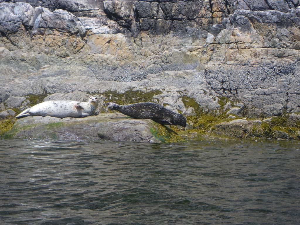
We set off and had the current against us. Even the eddies weren’t going our way. We went through Dent Rapids and Yuculta eddy hopping up against really strong currents. We stayed closed to the shore paddling through kelp trying to make progress. The water was moving really fast in the opposite direction in mid-channel. The rapids did not seem to reverse when they should have this day (we checked and double checked the tidal current tables). There were spectacular views of steep mountains, evidence of logging and fish farms. Around Yuculta there were numerous very fancy fly in fishing lodges and lots of powerful powerboats zipping around creating wakes for us to contend with in the slim eddies along the shore. We spent a really long hard day counting barnacles. Eventually we found a great campsite on South Rendezvous. It was a mossy rock outcropping and we found a perfect spot for the shelter and the tent. A storm blew through bringing wind and a downpour. We saw someone swimming in the sea here. The water was very warm. We saw 7 bald eagles, 1 black bear, sea lions, seals, sea urchins, pods of porpoises, and loads of sea cucumbers.
Day 26–South Rendezvous Island to Copeland Islands
Date: July 21
Distance: 20 nautical miles
Duration: 4 ½ hours paddling without a land stop
Actual conditions: current against, wind at our back
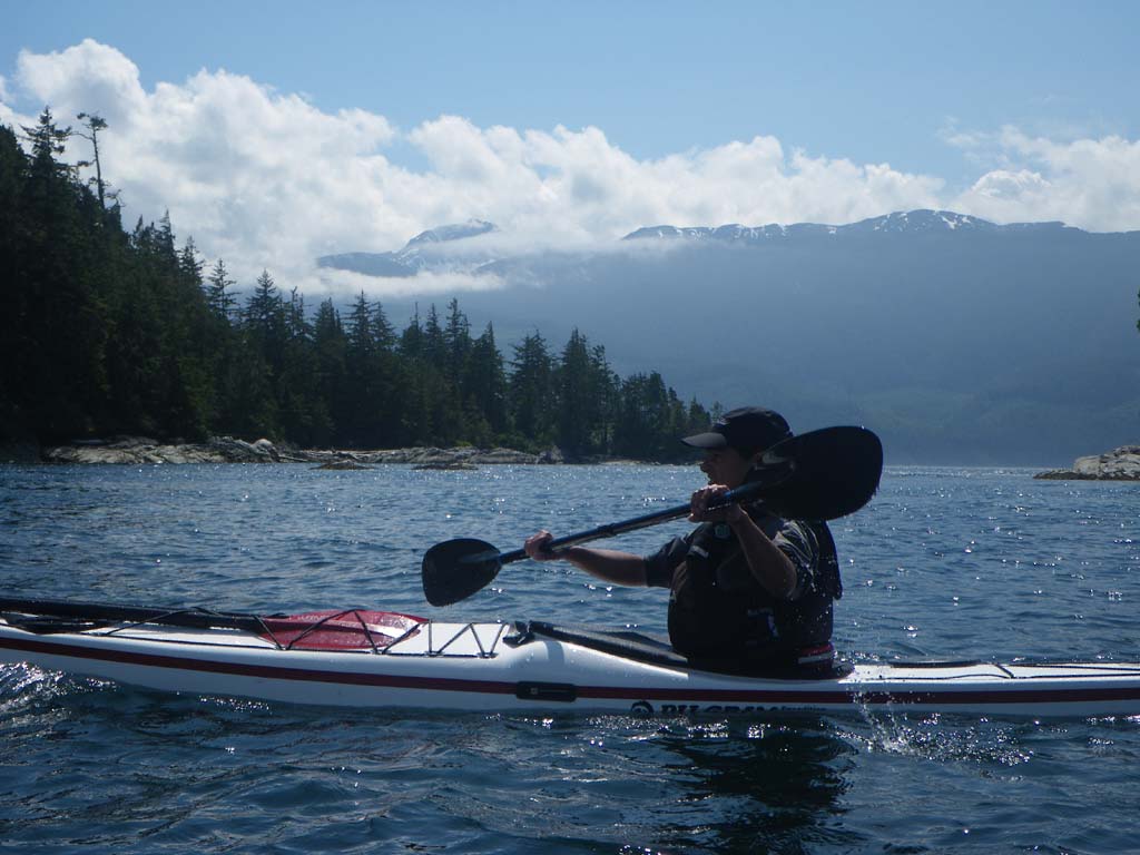
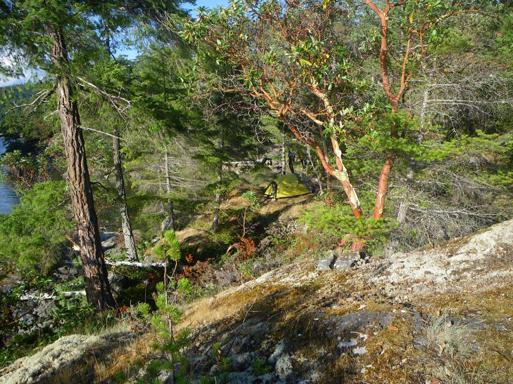
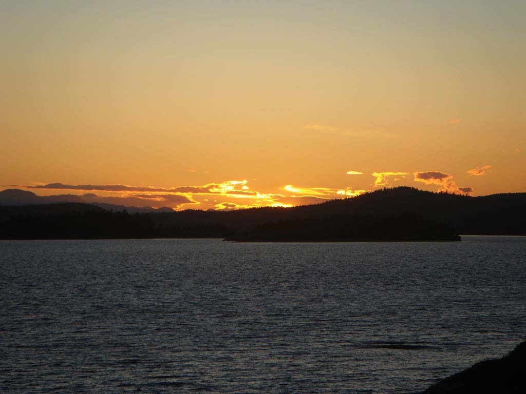
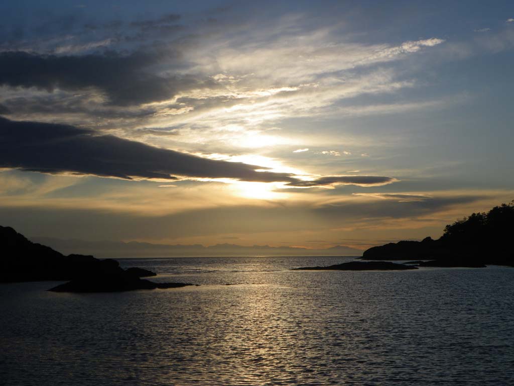
We woke to sunshine and a North West wind. We were going against the current but the wind was pushing us along nicely. We surfed our little hearts out and even passed 2 sailboats going our direction with their sails out. When we hit Desolation Sound area the wind waves changed directions and there was a lot of boat traffic. We had nice views of snow capped peaks on both sides, Vancouver Island and the Mainland. Kinghorn Island has lots of seals and small pups on rock ledges on its south side. We had a nice camp on one of the northern most Copeland Islands, with a slight breeze and sunshine the rest of the day. We dried all our stuff and even had a sunset!
Day 27– Copeland Islands to Favada Point on Texada Island
Date: July 22
Distance: 24 nautical miles
Duration: 6 ½ hours paddling without a land stop
Actual conditions: current against, light wind against
It was uphill all the way today. We started off with current against us and a light wind against us as well. We eddy hopped up to the point just North of Powell River. We passed a lot of nice houses. We crossed to Harwood Island and then on to Blubber Bay on Texada Island. On the crossing we passed a sailboat that we were racing yesterday. They even threw up a second sail but we were too fast for them. Again nice views of mountain peaks on Vancouver Island. The South Easterly wind got stronger to about 15 knots by the time we reached the West coast of Texada. We had sun all day. The last couple of miles were tough because of the wind. We passed several seals hauled out on rocks and looking South from camp we could see a rock piled high with seals.
Day 28 – Favada Point on Texada to South Texada Island
Date: July 23
Distance: 32 nautical miles
Duration: 11 ½ hours paddling with a stop to get water
Actual conditions:
While packing up in the morning we heard the sound of whales spouting very close. Their exhalations were quite loud and they came right past our rocky point of land. Orcas! A large pod of about 10 or so were cruising the coastline hunting seals. I waited for the orcas to surface again but they didn’t immediately.
A large male and a young one crossed the bay surfacing regularly farther out. The ones that had gone under stayed under all the way across the bay to the rock that had been covered with seals. The orcas came up and the seals all tried to dive into the water. There was chaos around the rock. Several orcas circled around. When it looked like they had left a couple orcas circled back around again underwater. Later as we paddled South along the coastline we could see that the hunting orcas had traumatized the seals. All of the seals we saw that day behaved very strangely. Several found little shallow narrow slots to hide in underwater as we went by. Several didn’t go into the water at all, even if we paddled really close. We also saw a lot of eagles and some turkey vultures along the way. We figured they were eating the left-overs from the seal kills. Later we could see a pod of orcas near mid channel swimming and leaping powerfully toward the horizon. We stopped at Gillis Bay to get a refill on our water. Jenny picked up a few things from the store and was able to fill up the water containers at a house near the beach access path. We paddled on and crossed over to Jedediah Island and found it to be very crowded with sailboats and motorboats all moaring in clusters. Every camp area was occupied. We circumnavigated the whole island without finding a camp so we crossed back over to Texada to a nice pebble beach.
Day 29–South Texada to South Ballenas Island
Date: July 24
Distance: 11 nautical miles
Duration: 2 ½ hours paddling with a stop to get water
Actual conditions:
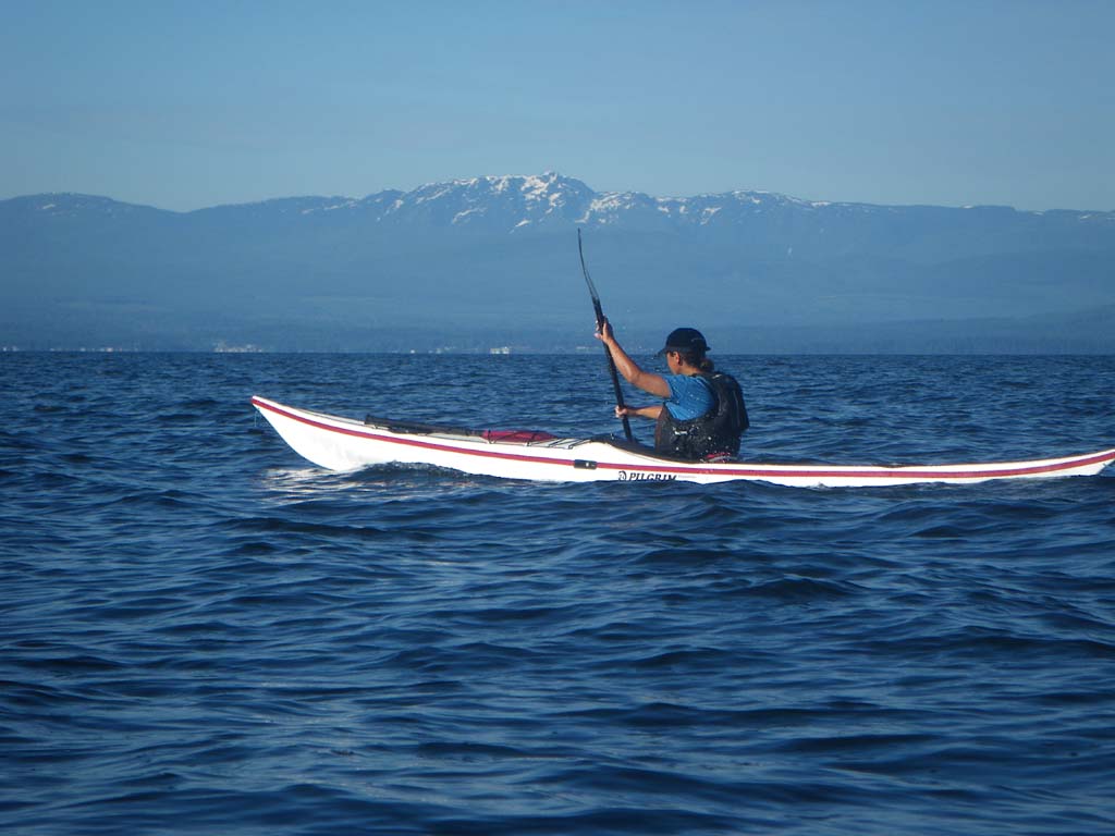
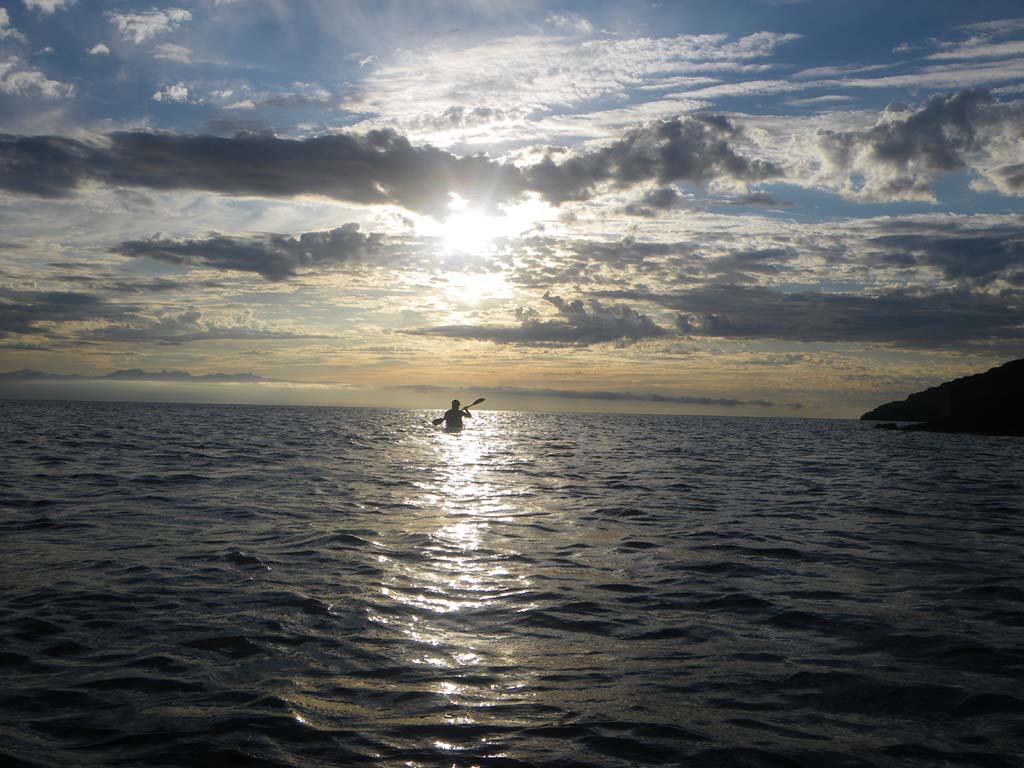
We were up at 6:00 am and the mosquitoes were thick hanging out in our vestibule buzzing for blood. We crossed from Texada to Jedediah to Lasqueti. We then struck out to cross the Straight of Georgia. We averaged over 4 knots for the 6 mile crossing. We had stunning views in all directions. It was a really spectacular crossing. People in motor boats were already camped in the main cove at South Ballenas Island. We found a place to the North of the cove with a small pebble beach and space for a tent barely above the high tide line. There were lots of mossies so we hung out on the rocky headland to let the wind blow the mossies away. There is an eagle nest with a young eagle in the tall tree behind our tent. We took time to rest and in the evening we enjoyed a beautiful sunset.

Day 30–South Ballenas Island to Flat Top Island
Date: July 25
Distance: 25 nautical miles
Duration: 8 hours paddling with 2 stops
Actual conditions: NE wind 15 knots in the morning, then SE wind 20-25 knots in the afternoon
Woke up to mosquitoes in the tent! Several got us. A tough day for Jenny. She was bleeding before she woke up and it just got tougher after that! We stopped at Neck Point. We had a nice North wind leaving Ballinas and then it swung around and became an East wind. We had a nice push behind when crossing Nanaimo shipping lanes that were busy with ferries leaving. We had sprint repeats from rocky outcropping to rocky outcropping. We averaged 6 knots on the crossing, aided by some surfs in our sprint. We also saw a lot of military boats and airplanes that looked like they were doing some torpedo testing. Right after the Nanaimo Bay crossing the wind changed to a fierce South Easterly and gradually increased in strength. It became very choppy with the current against us as well. It was tough going around headlands. Around the top
of Gabriola Island near Entrance Island there was a significant tidal race running. A big power boat came through just as Jenny was in it and she had some waves breaking above head height. We were paddling without drytops and the waves crashed over Jenny’s shoulders soaking her down to the toes inside her bibs. We stopped for lunch and looked for petroglyphs but didn’t find much. After leaving lunch we paddled against a strong SE wind, chop and opposing currents all the way down the outside of Gabriola Island. It was a tough day with a high “grunt factor”. The camp was a beautiful little island with very cool rock formations worn away. There was a great place for our tent on top with some trees and bushes to protect it from the wind. We had sunshine and sheltered places to cook and hang out even though the wind was blasting.

Day 31–Flat Top Island to Portland Island
Date: July 26
Distance: 32 nautical miles
Duration: 9 ½ hours paddling with a half hour lunch stop
Actual conditions: Cross winds and a strong current against us most of the day
This was another day that started out against the current and wind all the way to Nose Point. Even the eddies weren’t cooperating today. It was a long slog! We passed a camp on Salt Springs and it was packed. We paddled on hoping for a site on Portland Island and ended up having the place to ourselves. Because of the busy ferry lanes going to Sidney we had a sprint finish crossing over. We set up as the sun was going down. It was a beautiful spot, but cool, wet and threatening to rain. Nothing dried out. We hung our paddling gear and clothes under our shelter for the night. It was a long hard paddle against the elements all day and it ended up being the only day of the trip where we didn’t take any pictures.
Day 32 – Portland Island to James Island
Date: July 27
Distance: 32 nautical miles
Duration: 13 hours including a 5 hour stop at Roche Harbor
Actual conditions:
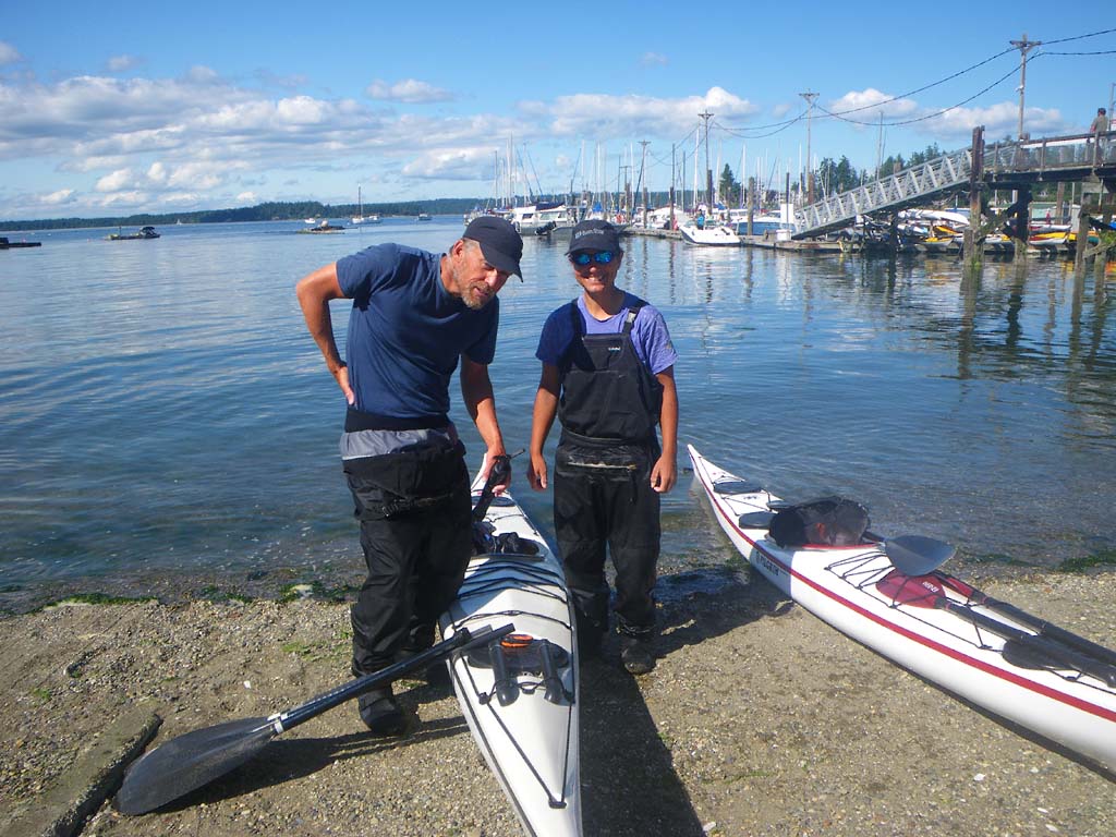
We stopped at Rum Island and then crossed Haro Strait and entered Roche Harbor at 9:30 am. We tied up at the customs dock with all the enormous expensive boats. We received passes saying that we had checked in to the USA. We then paddled in and tied off close to the ramp. We looked for charts for the Puget Sound, since we had decided to keep paddling down to Olympia, but didn’t find any. We did buy Captain Jack’s tide/current book for the area. We shopped for groceries to restock on a few things. We took showers, did a load of laundry, bought lunch, filled up our water containers and repacked our boats that were tied off to the dock. We left Roche Harbor at 3:30 pm and paddled across the San Juans to James Island in Rosario Strait . We actually had currents with us and a gentle wind at our backs. We paddled into beautiful evening light. We saw Rinocerous Aucklets coming up with 4+ fish in their bills. The Spencer Spit Camp was busy with dozens of boats and people so we continued on to James Island. This is the first Cascade Marine Trial camp that we have used.
Day 33 – James Island to Camano Island State Park
Date: July 28
Distance: 42 nautical miles
Duration: 12 ½ hours with two brief stops of only a couple minutes each
Actual conditions: Tide race in Rosario Strait at max ebb, calm early then 25 knot west winds
We started the day going through a tide race while crossing Rosario Strait at max ebb to take advantage of the current. Even though the wind was light, there was some residual energy in the sea from the previous day’s gales through the Strait of Juan de Fuca. There were breaking waves and strong currents boiling around over a large area. We navigated through fog and went through Deception Pass-Canoe Pass at the beginning of the flood. We had good current assist going South past Hope Island and along the north east side of Whidbey Island. Soon the wind picked up as gale force westerlies developed in the Strait of Juan de Fuca and pushed in over Whidbey Island. We crossed to Camano Island with a strong cross wind and white caps. Because of the conditions we decided to try to paddle the east side of Camano Island. Unfortunately, without a proper chart (we ran off our charts at Hope Island) we did not realize that there is not enough water to do so at the stage of tide we were at. The small sketch of a map we had was totally inadequate, but we had been unable to find a place to buy charts. So we paddled toward the east side until we discovered that we were going to run out of water and could be trapped in a giant mud flat if the tide went out. We had to turn back and paddle several miles directly into the strong wind in order to round Camano Island to the west. By the time we got out of the shallows we were fighting a strong tide as well as the wind. We fought wind and tide most of the way to camp. Jenny was exhausted and we searched for a place to get off the water, but the shore of Camano Island was a continuous barrier of private beach, private tidelands, no-tresspassing signs for miles and miles. We spend several exhausting hours in strong winds and rough seas with nowhere to land legally. We were disgusted. Who are these people? We had to land on a private beach and phone Kirti to ask her to look for a place where we could land legally and camp. She pointed us to Camano Island State Park which was still almost 12 miles away. We eventually made it there, landed and had lunch at 5:00pm. It was a long hard day, but the Cascade Marine Trail camp ended up being really nice. What a wonderful concept that is! No pictures were taken today.
Day 34 – Camano Island to Bain Bridge Island State Park
Date: July 29
Distance: 35 nautical miles
Duration: 10 hours with three stops including lunch
Actual conditions: North wind around 15 knots
We had wind at our back and current with us for most of the day. We did 16 miles with an ebb current to Possession Point where we stopped for lunch. We then timed it so that we could ride the flood down to camp. The crossing after Possession Point was a long one and it was a very busy area for shipping traffic. After landing at camp two fellow kayakers arrived at the same spot. Mary and Steve had been out for a daytrip. They brought us a cold beverage and then spent time chatting about kayaking – really nice folks! This is a Cascade Marine Trail camp. It doesn’t have any privacy like the others, but it was great to arrive late in the day on a Saturday and have a camp spot close to the beach when all the other sites were taken.
Day 35 – Bain Bridge Island to Tacoma Narrows Bridge
Date: July 30
Distance: 32 nautical miles
Duration: 8 ½ hours with one lunch stop
Actual conditions: Gentle tailwind, tidal currents mostly against us
We had a leisurely breakfast and packing waiting for the ebb to weaken. The sun was shining. Mary and Steve came over to chat a bit and inquire about our packing and gear. They were very nice people. They took pictures of us and sent us on our way. We planned to eddy hop until the current changed. We stopped at Blake Island State Park/Tillicum Village to have lunch and look around at the totems, salmon bake, gift shop, etc. After Blake Island we got to the narrow channel west of Vashon Island only to find out that it was not flowing the way we expected. I have later discovered that it flows perpetually north. So we didn’t get the push we had expected from a flooding tide. Instead, we resorted to our, by now well practiced, eddy hopping and made good progress. At the end of Vashon Island we crossed over and found a current running into the narrows but it was pouring in across the direction we wanted to go and then a stiff head wind picked up and whitecaps developed. The waters around Gig Harbor became infested with crazed people in loud fast water vessels intent on making as much noise and commotion as possible. I think the goal was to burn as much gasoline as they could while being as obnoxious as possible. Yep, we were definitely back in the USA! Near the bridge the currents turned against us and Tacoma Narrows started ebbing an hour and a half early (at least according to Capt. Jack’s). We had to claw our way along shore the last mile to camp. Camp was a day use state park except for the Cascade Marine Trial camp, so when the park closed at dusk we had it all to ourselves. We had a nice dinner and a quiet night except for the frequent train whistles.

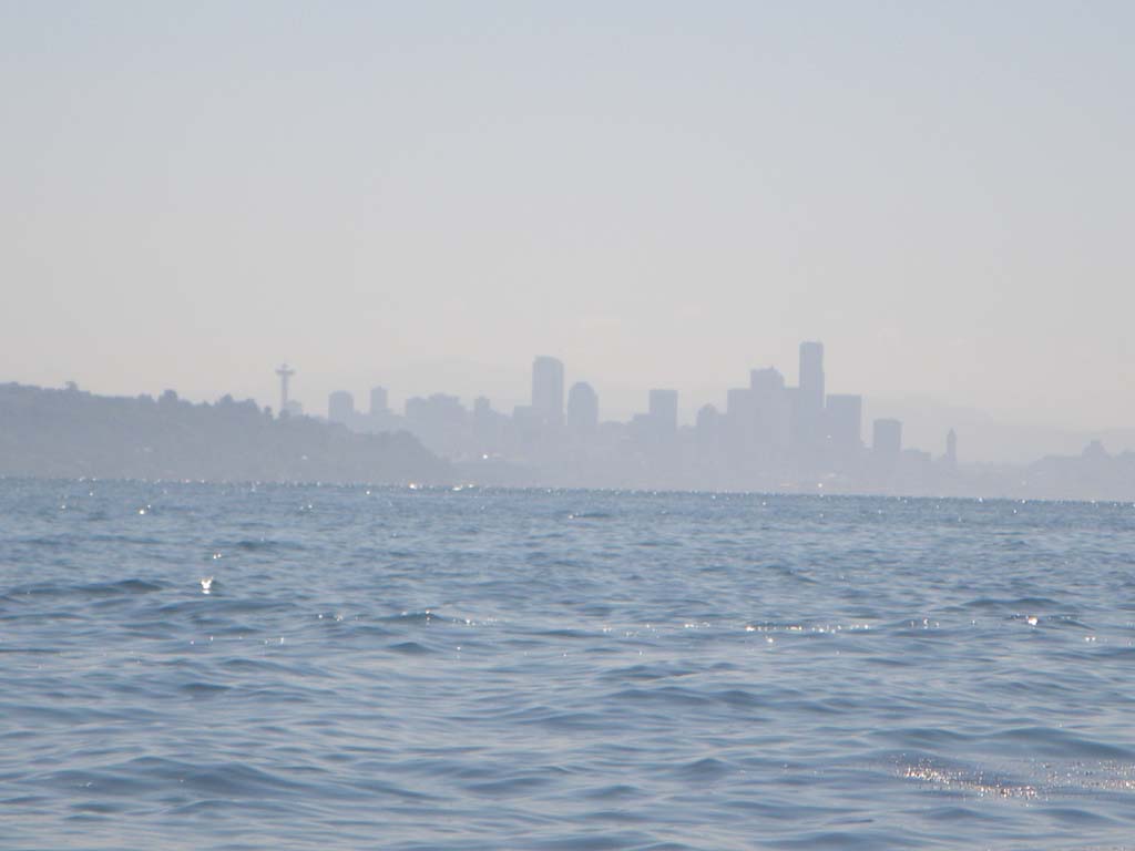
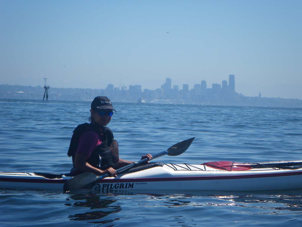
Day 36 – Tacoma Narrows to Boston Harbor, Olympia
Date: July 31
Distance: 19 nautical miles
Duration: 5 hours
Actual conditions: West wind at 10 knots, sunny
We had smooth conditions for much of the last day of paddling and the sun was shining as well. We saw lots of kayaks right around Boston Harbor, more in fact than on the entire rest of the trip combined. Kirti pulled up in the car just as we arrived to land. What perfect timing! The adventurers are together again and the mission is complete.